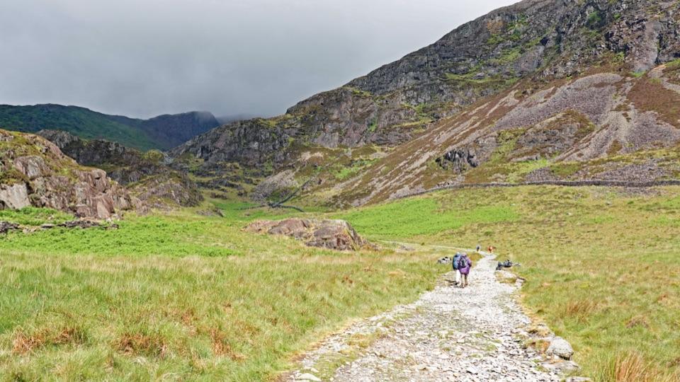
Parking
Farchynys Car Park near Bont-ddu (SH 662 186). Use designated spaces only and never block field or residential entrances.
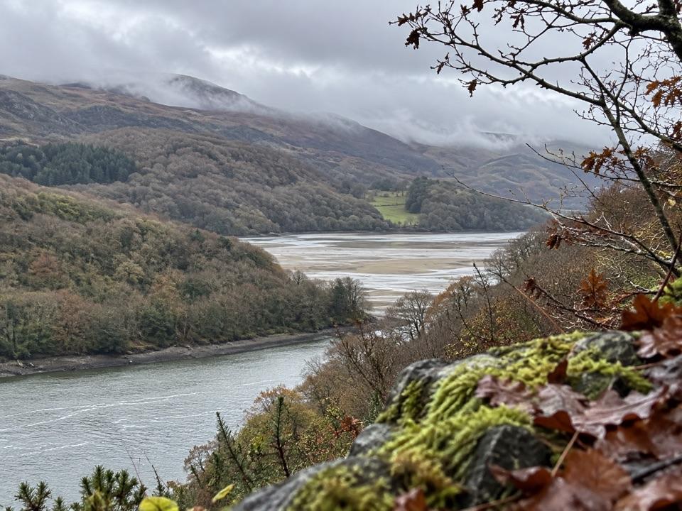
Eryri National Park, WA
Two estuary viewpoints on a short woodland circuit above the Mawddach
Overview
Map & elevation
Plan your hike

The highest, rockiest slopes around here are a summer buffet for grizzly bears.
Eryri Tour Guide
Parkwolf is a GPS audio tour guide for Eryri National Park. As you drive, it chimes in with what’s ahead: hidden gems, upcoming stops, history, geology, and wildlife, right through your car’s speakers.
See the Eryri audio tourRecorded for this area
Gold Before the Gold Rush“People were looking for gold along the Mawddach before the famous Clogau mine took off.”
Plays on the road 1.1 km from the trailhead in the Parkwolf Eryri Tour Guide.
More stories near here in the app
“Fantastic app with many points of information… It’s great to just turn on while you’re driving and it gives you an audio tour of the national Park. We love it!!!!”


Trail guide
Farchynys is a short woodland circuit above the Mawddach Estuary, with two viewpoints across the water. It is about 1.5 miles (2.4 km) on the mapped circuit, including the viewpoint spur from Farchynys Car Park near Bont-ddu (SH 662 186); allow about an hour for the steep, uneven sections and the views.
From the car park the route passes the Dark Sky Bench and continues to the first viewpoint, then retraces. Next comes a wide track with marsh alongside it, followed by a gate with a stile beyond. Do not cross the stile: instead climb through woodland following the fence line to the second viewpoint. The return is via a gravel track and two kissing gates back to the start.
Classified moderate, short but not easy going. Expect steep and unsurfaced sections and a steady climb beside the fence. It suits walkers comfortable on uneven countryside paths.
The marsh beside the wide track can flood at high tide, so check that stretch before committing to it. Higher up, the stile beyond the gate is not part of the route: stay with the fence line uphill. Getting that decision right keeps you on the circuit.
The viewpoints look out over the Mawddach Estuary, with Cader Idris, Barmouth Bridge and the Dolgellau area in view. At the Dark Sky Bench, look for the constellations set into the backs of its three iron seats. The tree-stump design was created by Chris Brady to celebrate the park’s Dark Sky Reserve.
Use designated parking only at Farchynys Car Park and do not block entrances. Dogs are welcome on public footpaths and open access land, kept under close control, on a short lead near livestock and wildlife, and on a lead of no more than 2 m on open access land from 1 March to 31 July.
Oak and holly shelter birds including nuthatches and treecreepers. Below, the estuary’s salt marsh and peat habitats have special conservation protection; at the western end, Barmouth Bridge carries the railway across the water on a long timber viaduct.
Wildlife
 80 sightingsGrey HeronMost seen around 7 AMSighting map
 10 sightingsEuropean BadgerMost seen around 8 PMSighting map
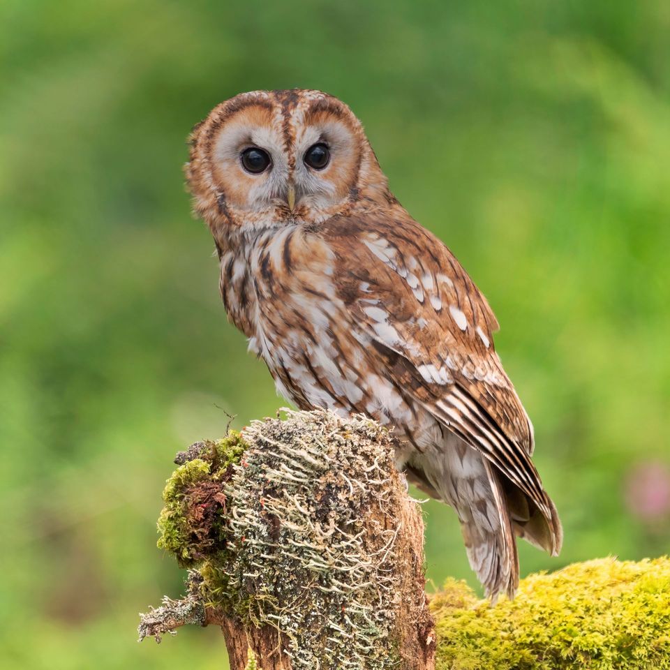 17 sightingsTawny OwlMost seen around 6 AMSighting map
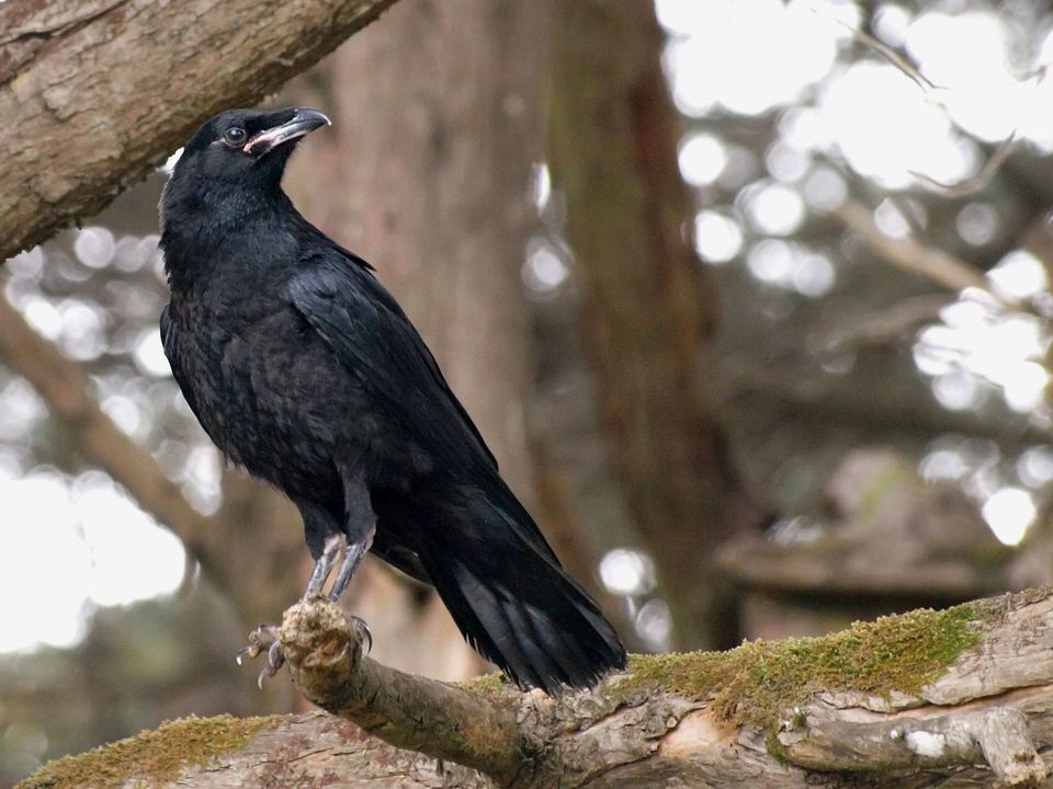 36 sightingsCommon RavenMost seen around 8 AMSighting map
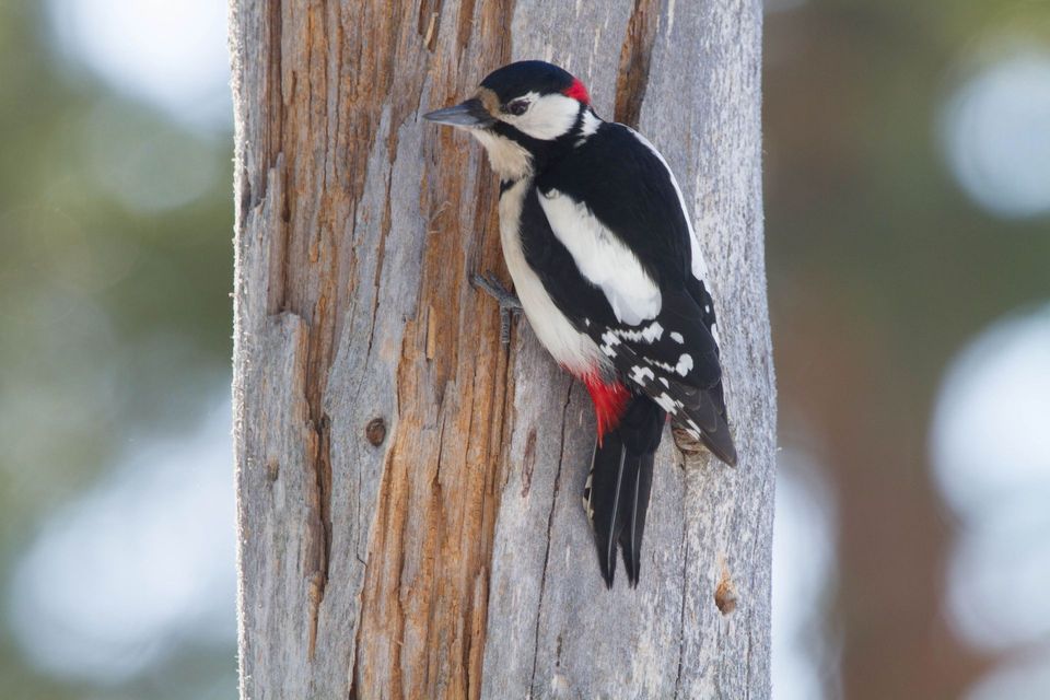 21 sightingsGreat Spotted WoodpeckerMost seen around 7 AMSighting map
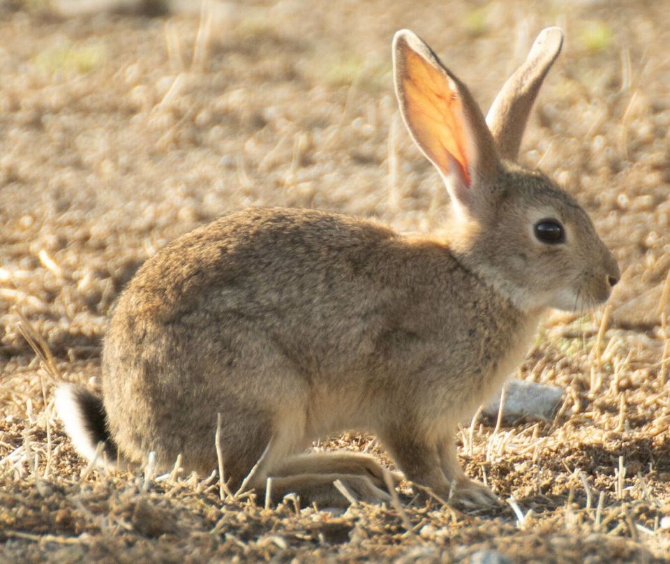 18 sightingsEuropean RabbitMost seen around 7 AMSighting map
Sighting maps show where each species has been reported across Eryri. Wildlife moves, so no sighting is guaranteed.
Keep exploring
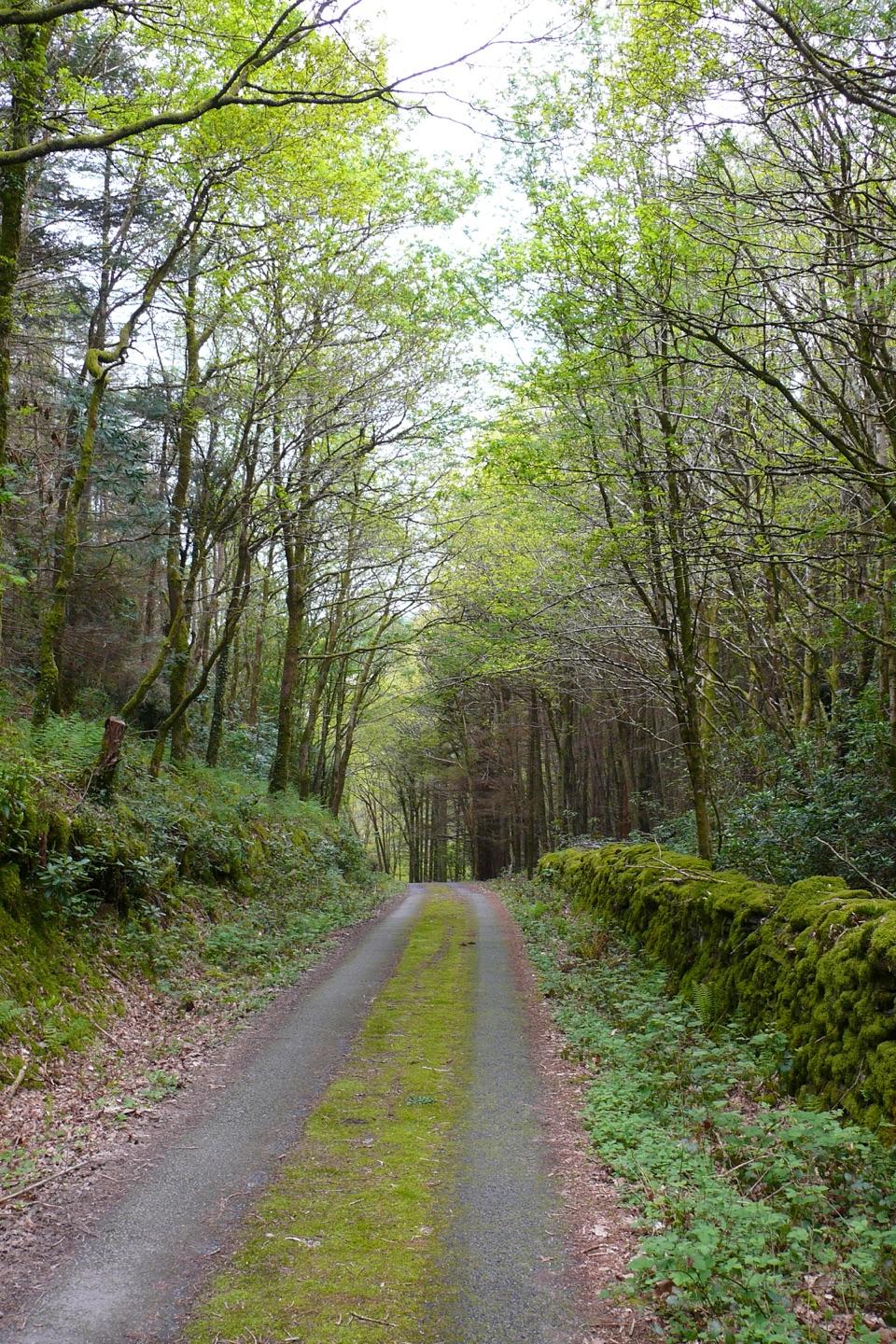 ModerateClogau Trail6.5 km · 3 hr · 1.7 km awayEstuary banks, oak woods and old gold workings on a steady loop
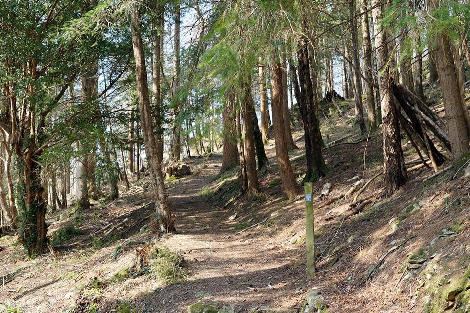 ModerateAbergwynant Woods6 km · 2 hr · 3.4 km awayZigzag climbs, oak woodland and wide views over the Mawddach estuary
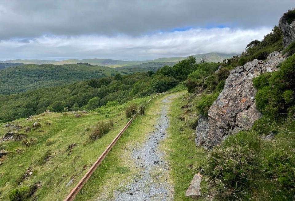 ModerateNew Precipice Walk1.7 km · 1 hr · 3.9 km awayA short hillside path on an old tramway above the Mawddach estuary
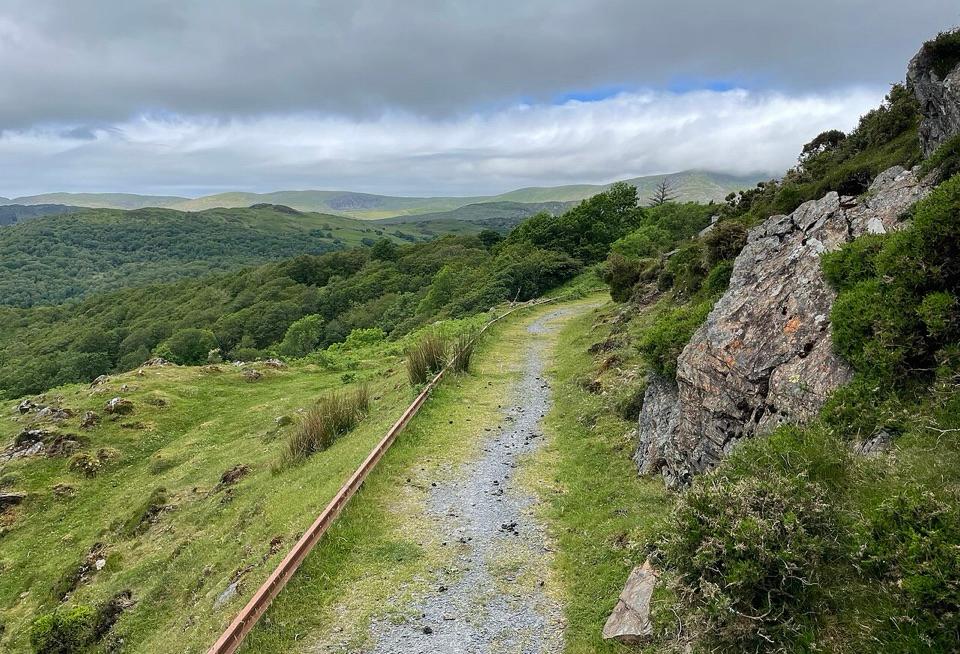 EasyFoel Ispri Path0.7 km · 15 min · 3.9 km awayFlat, step-free out and back to an elevated Mawddach Estuary view
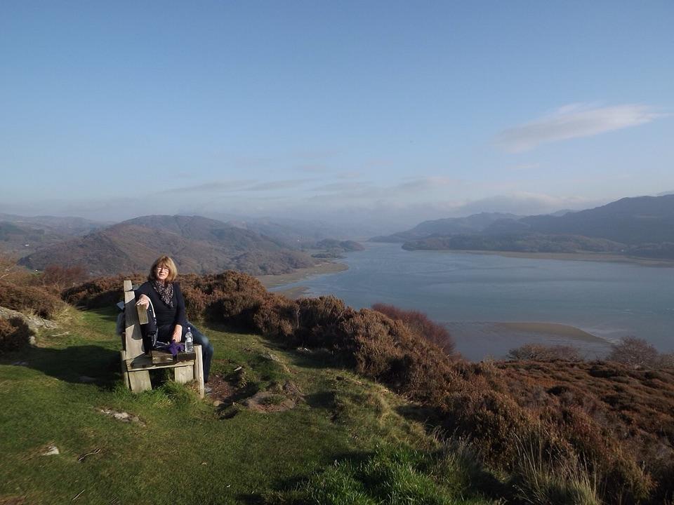 ChallengingPanorama Walk6.4 km · 3 hr · 4.3 km awaySteep, often boggy loop to a sweeping Mawddach Estuary viewpoint
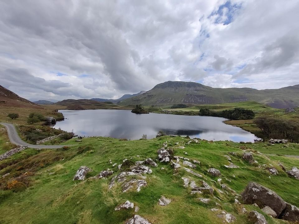 ModerateRhaeadrau Arthog and Llynnau Cregennan13.7 km · 4 hr · 4.4 km awayWaterfall, hilltop lakes, ancient woods and estuary on one 13.7 km loop
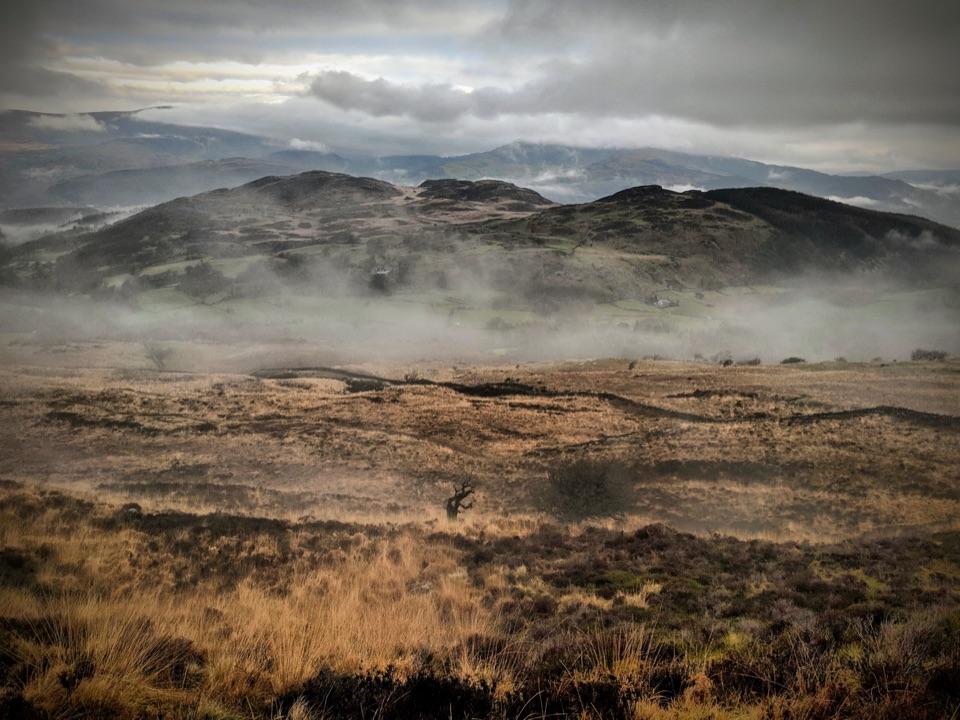 ChallengingPony Path (Tŷ Nant)10 km · 5 hr · 5 km awaySteady zigzag climb to Cader Idris summit, with a short rocky scramble
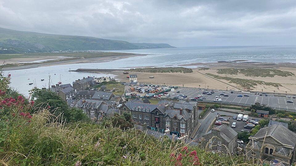 ModerateDinas Oleu Walk1.9 km · 1.3 hr · 5.6 km awayShort steep climb to gorse-clad views over the Mawddach and Cardigan Bay
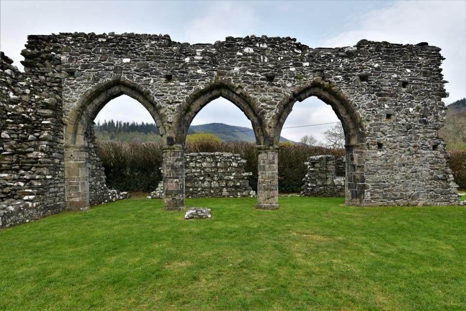 Sight · 6 km awayCymer AbbeyThree medieval arches frame the Mawddach valley
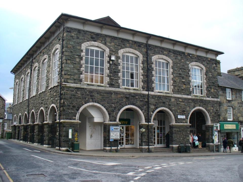 Sight · 6.7 km awayTŷ SiamasA Welsh folk-music centre in a handsome former market hall
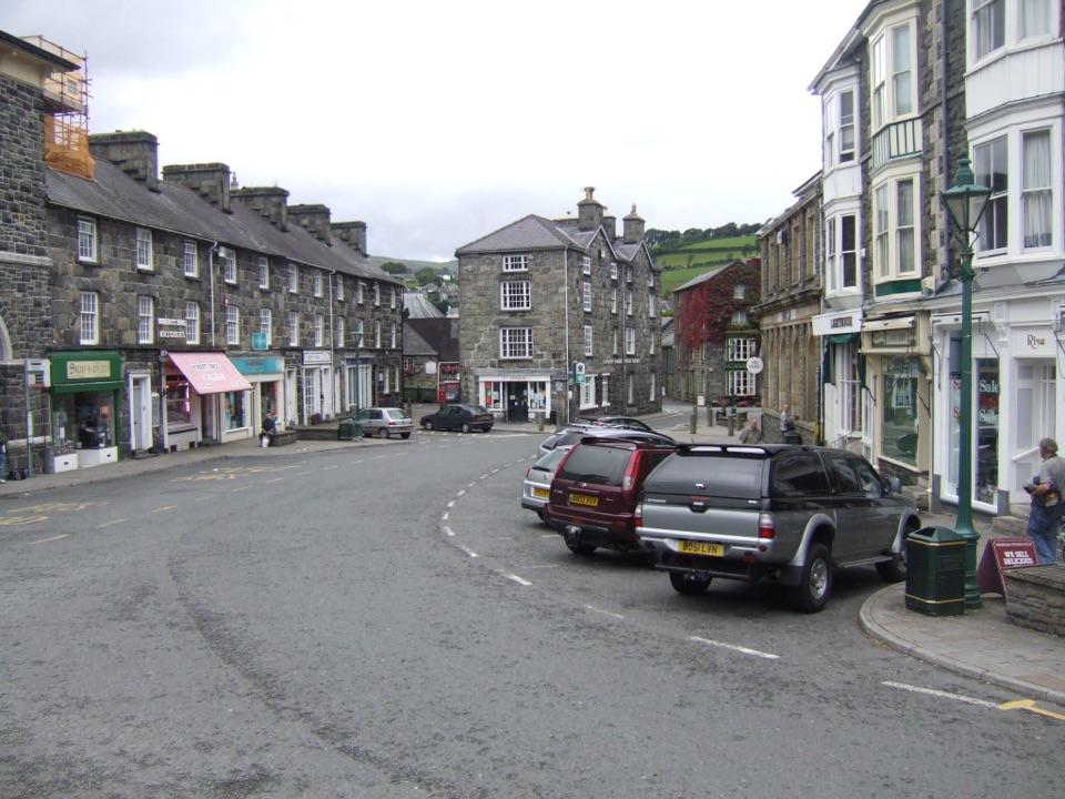 Sight · 6.7 km awayDolgellauGrey dolerite townscape and tangled lanes beneath Cader Idris
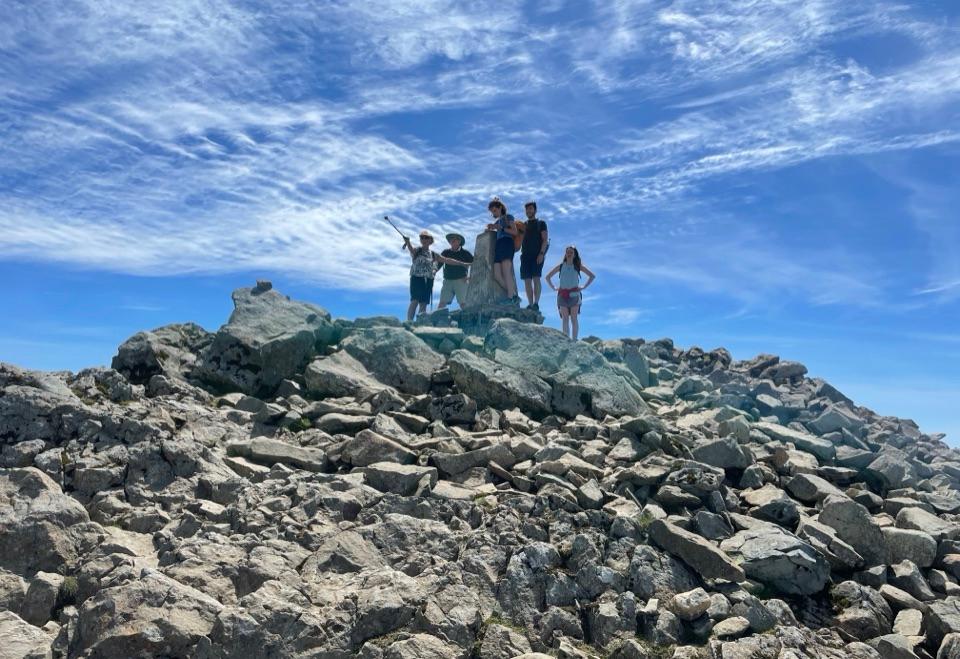 Sight · 7.5 km awayCader IdrisA high rocky summit above the dark bowl of Llyn Cau
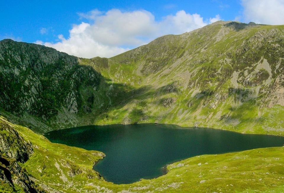 Sight · 8.3 km awayLlyn CauA glacial lake tucked beneath Cadair Idris's steep crater rim
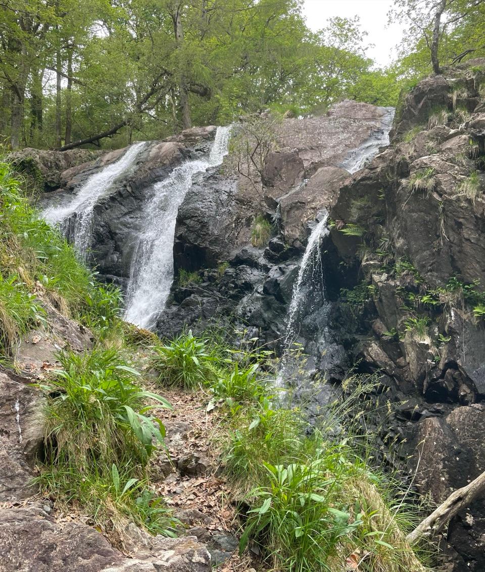 Sight · 8.4 km awayRhaeadr Ddu (Black Falls)Two mossy cascades drop about 60 feet through ancient oak woodland
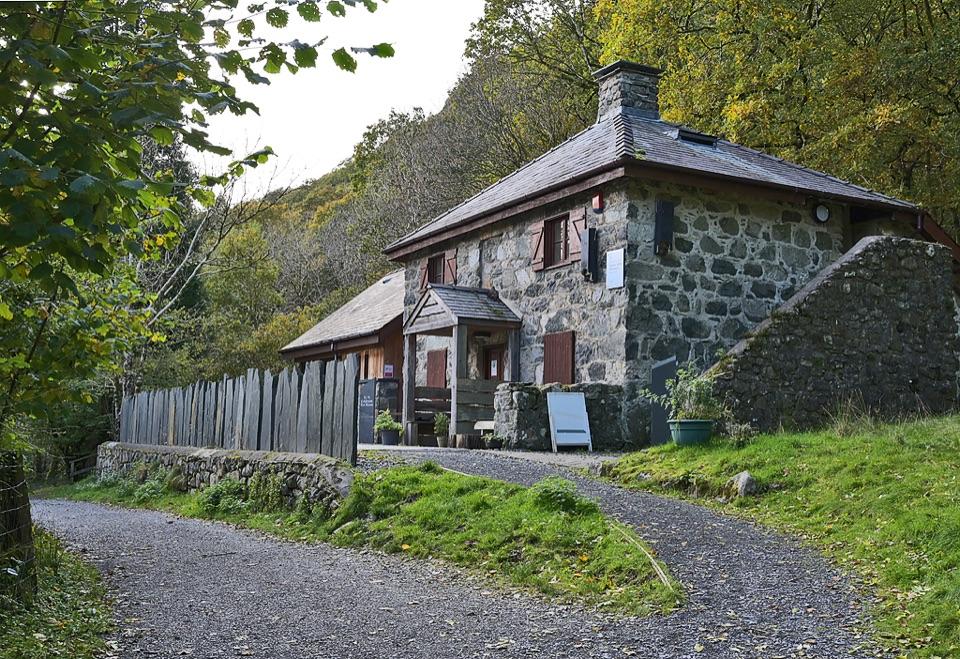 Visitor center · 9.7 km awayCader Idris Visitor CentreA stone mountain base with wildlife exhibits and gentle woodland paths
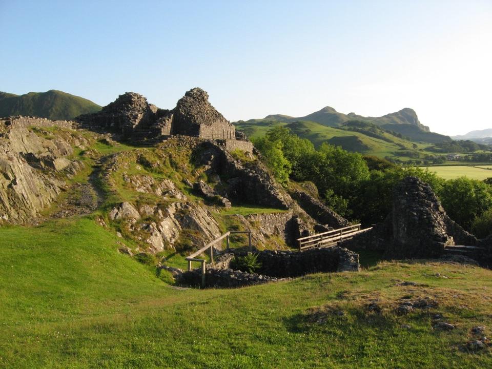 Sight · 10.1 km awayCastell y BereRuined Welsh stronghold on a rocky crag above the Dysynni
Parkwolf’s Eryri ranking

The audio tour guide for the drive, plus offline maps, trails, and wildlife heatmaps for when the signal drops.