Parking
Foel Ispri Car Park near Llanelltyd, Dolgellau (SH 698 200). Designated parking only; the car park holds about 4 to 5 vehicles and the approach road is steep, narrow and sharply winding.
Eryri National Park, WA
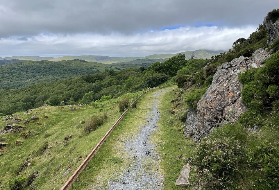
Flat, step-free out and back to an elevated Mawddach Estuary view
Overview
The reason to come is the elevated outlook over the Mawddach Estuary, described by the authority as sandy, with salt marsh and lowland peat habitats around it. Wildlife interest in the wider area includes rare flowers, grass snakes, butterflies and birds, though that is the surrounding landscape rather than a promise of what you will see on this short stretch. The authority notes the path is not popular, so it is often quiet, but do not count on having it to yourself.
 Parkwolf’s verdictThe payoff
Map & elevation
Plan your hike

The highest, rockiest slopes around here are a summer buffet for grizzly bears.
Eryri Tour Guide
Parkwolf is a GPS audio tour guide for Eryri National Park. As you drive, it chimes in with what’s ahead: hidden gems, upcoming stops, history, geology, and wildlife, right through your car’s speakers.
Recorded for this area
A Gold Tramway's Second Life“The New Precipice Walk above the Mawddach follows a tramway, not a path first made for walkers. It served the Foel Ispri mines, where companies sought lead, zinc and gold in the late nineteenth century.”
Plays on the road 0.7 km from the trailhead in the Parkwolf Eryri Tour Guide.
More stories near here in the app
“Fantastic app with many points of information… It’s great to just turn on while you’re driving and it gives you an audio tour of the national Park. We love it!!!!”


Trail guide
This is a there and back again route from Foel Ispri Car Park to the signposted end of the accessible section, then back the same way. Total visitor distance is 0.67 km / 0.42 miles, which is about 335 m each way along the mapped corridor. The managing authority's overview quotes 300 m and a quarter of an hour, and that figure is the single leg rather than the round trip, so expect roughly 15 to 20 minutes there and back at an easy pace.
From the parking area, walk past the farm buildings to a signpost for New Precipice Walk. Take the path to the right of the white house, go through two wooden gates, then a third wooden gate. The Mawddach Estuary opens up ahead. Carry on to the signpost that marks the end of the accessible part, turn around there, and retrace your steps.
Graded Access for All by the managing authority. The promoted section is largely flat and even with no steps and no steep sections, and it suits conventional wheelchairs, pushchairs and Tramper-style mobility scooters. Comfortable shoes or trainers are enough. The signposted end has room to turn a Tramper-style vehicle around. Note the three wooden gates, which are worth factoring in if you are pushing or driving a wider chair.
Start and finish at Foel Ispri Car Park near Llanelltyd, Dolgellau, at OS grid reference SH 698 200, with the route start right beside the parking area. The car park is very small, with space for roughly four or five vehicles. The approach road is steep and narrow with many sharp turns, so take it slowly and be ready to reverse. Do not block field or residential entrances if the car park is full.
The path passes through working farm land, which is why the gates are there. Dogs are allowed on public footpaths in Eryri under close control, and near livestock and wildlife they should be on a short lead. Clean up after them. This is not a place to let a dog run loose.
The corridor continues east toward Llanelltyd and links to the wider New Precipice Walk, but that ground is not suitable for wheelchairs and sits outside this route. Turn at the signpost.
For a fuller day out in the same landscape, the longer Precipice Walk is a proper circular route high above the Mawddach with more distance and more varied ground underfoot. Treat this one as a short, genuinely accessible taste of that view rather than a substitute for it.
Wildlife
 77 sightingsGrey HeronMost seen around 7 AMSighting map
 17 sightingsTawny OwlMost seen around 6 AMSighting map
 32 sightingsCommon RavenMost seen around 8 AMSighting map
 21 sightingsGreat Spotted WoodpeckerMost seen around 7 AMSighting map
 18 sightingsEuropean RabbitMost seen around 7 AMSighting map
 161 sightingsViviparous LizardMost seen around 10 AMSighting map
Sighting maps show where each species has been reported across Eryri. Wildlife moves, so no sighting is guaranteed.
Keep exploring
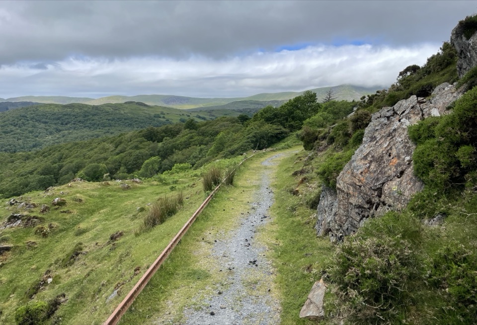 ModerateNew Precipice Walk1.7 km · 1 hr · At the trailheadA short hillside path on an old tramway above the Mawddach estuary
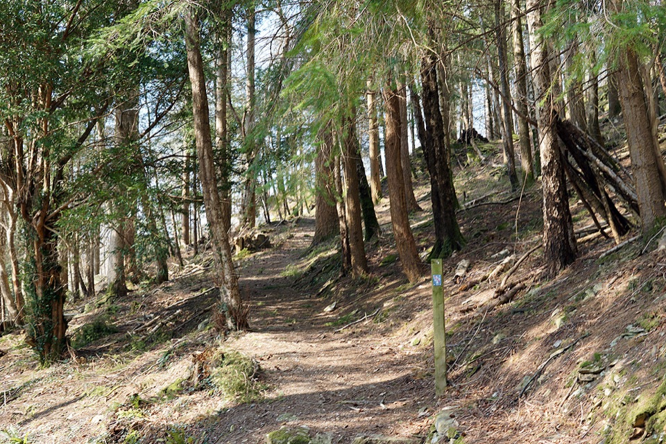 ModerateAbergwynant Woods6 km · 2 hr · 1.6 km awayZigzag climbs, oak woodland and wide views over the Mawddach estuary
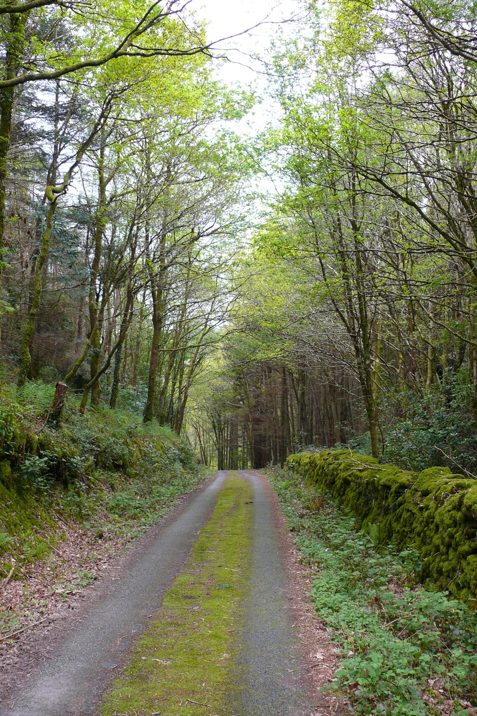 ModerateClogau Trail6.5 km · 3 hr · 2.3 km awayEstuary banks, oak woods and old gold workings on a steady loop
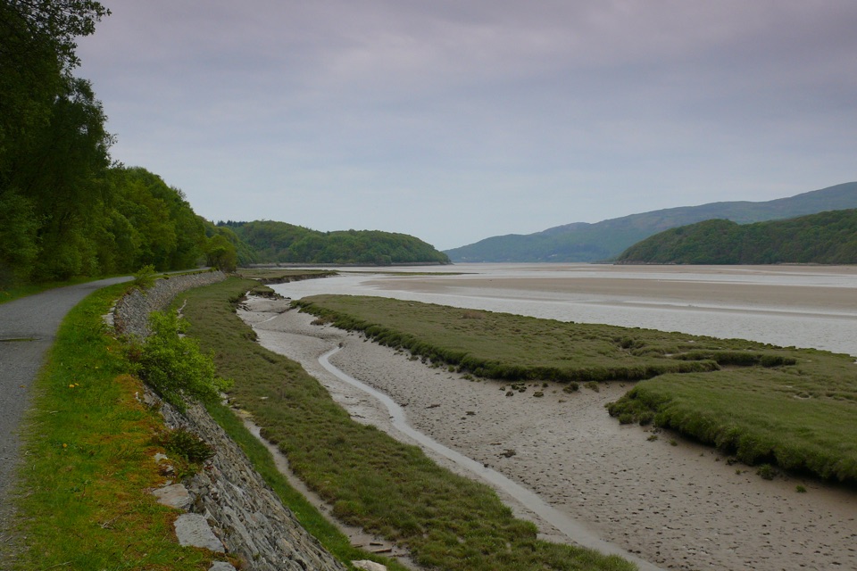 EasyMawddach Trail15 km · 6 hr · 3.6 km awayFlat estuary railway path from Dolgellau to Barmouth, wheelchair friendly
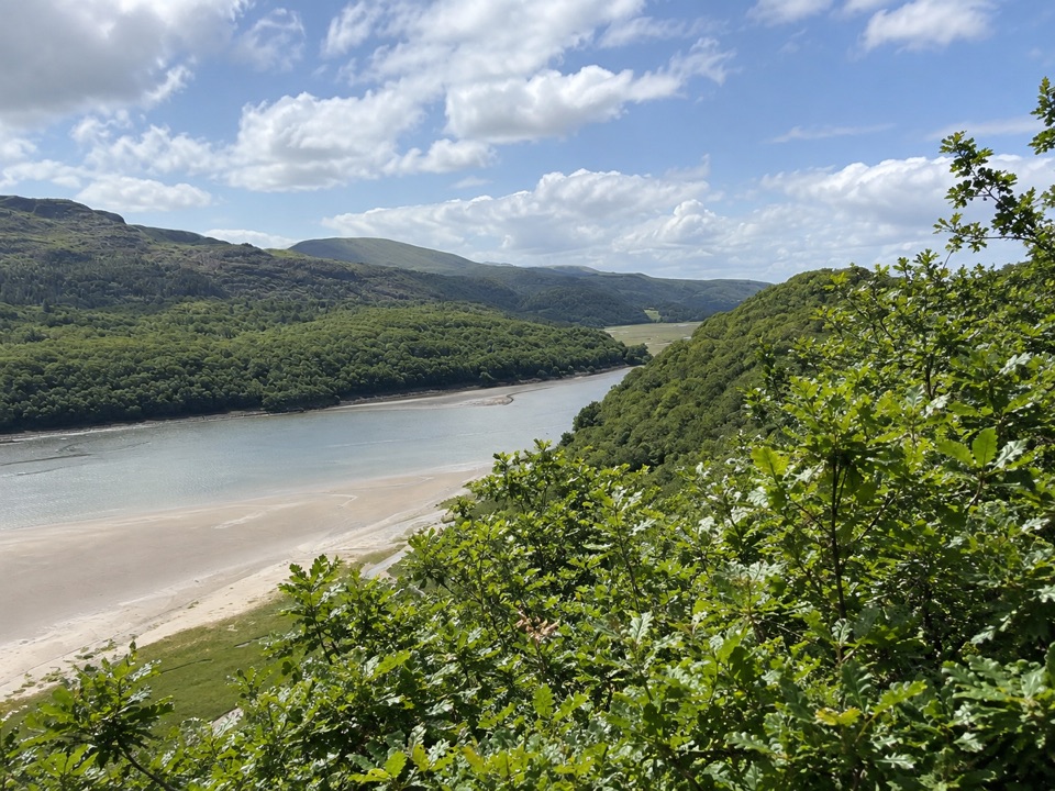 ModerateFarchynys Walk2 km · 1 hr · 3.9 km awayTwo estuary viewpoints on a short woodland circuit above the Mawddach
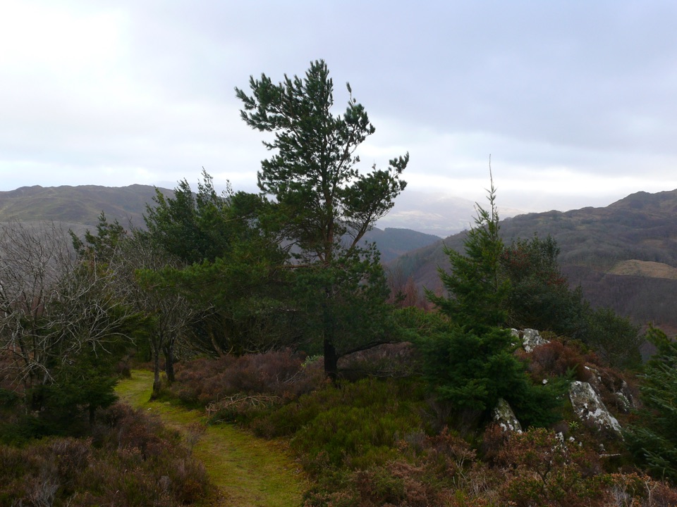 ChallengingPenrhos Mountain Trail5.1 km · 2 hr · 4.6 km awayRooty riverside climb to a heather summit bench and mountain views
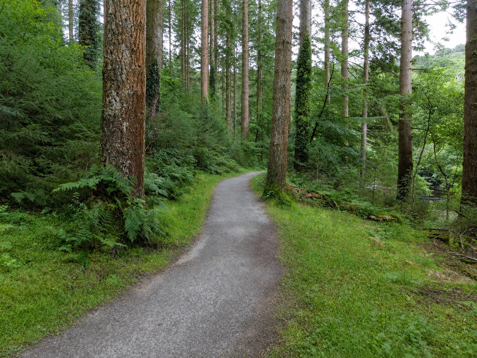 EasyThe King’s Guards Trail0.8 km · 15 min · 4.6 km awayFlat riverside loop through giant Douglas firs to the King
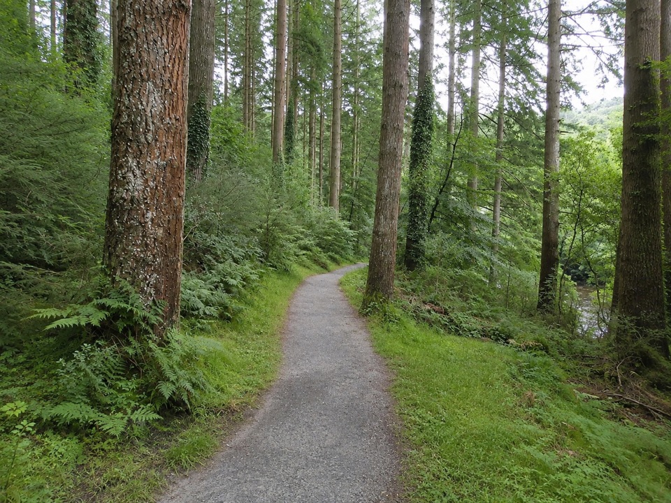 EasyThe King's Champion Trail1 km · 30 min · 4.6 km awayShort riverside loop to giant Douglas firs and the tallest tree
 Sight · 2.4 km awayCymer AbbeyThree medieval arches frame the Mawddach valley
 Sight · 3.8 km awayDolgellauGrey dolerite townscape and tangled lanes beneath Cader Idris
 Sight · 3.8 km awayTŷ SiamasA Welsh folk-music centre in a handsome former market hall
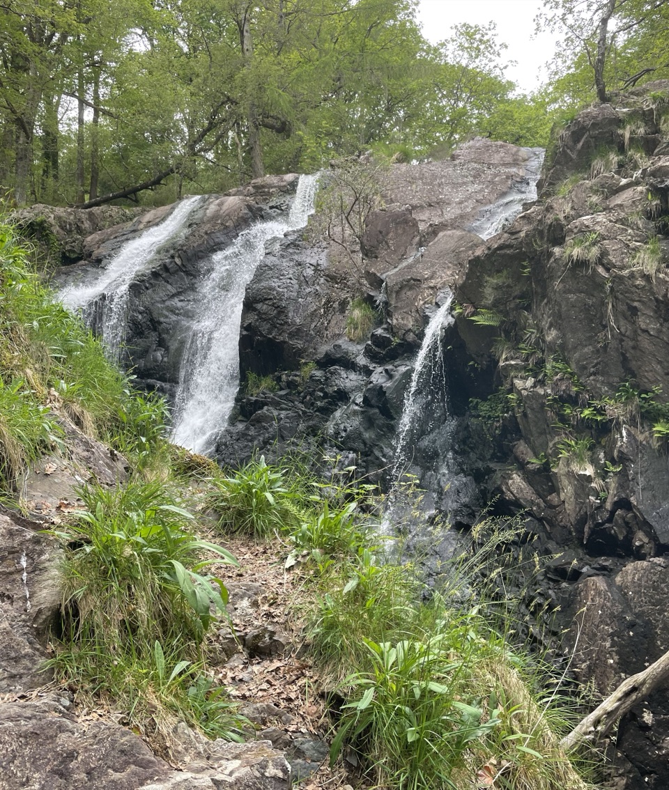 Sight · 5 km awayRhaeadr Ddu (Black Falls)Two mossy cascades drop about 60 feet through ancient oak woodland
 Sight · 7.1 km awayCader IdrisA high rocky summit above the dark bowl of Llyn Cau
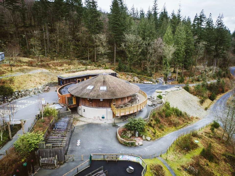 Visitor center · 7.3 km awayCoed y Brenin Visitor CentreBritain’s first purpose-built mountain-bike centre, now a quiet trailhead
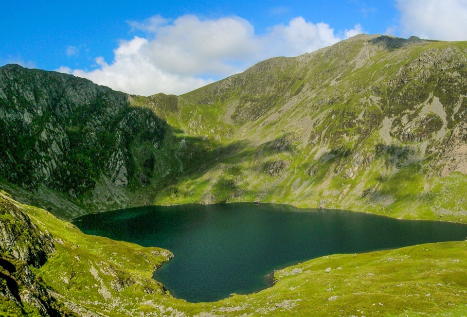 Sight · 7.9 km awayLlyn CauA glacial lake tucked beneath Cadair Idris's steep crater rim
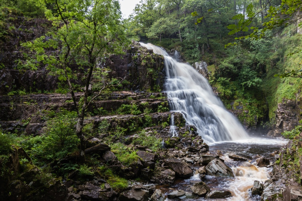 Sight · 8.3 km awayPistyll CainA thunderous forest waterfall reached by an easy-moderate river walk
Parkwolf’s Eryri ranking
The audio tour guide for the drive, plus offline maps, trails, and wildlife heatmaps for when the signal drops.




