Parking
Eryri National Park Car Park near Barmouth (SH 625 166). Use designated spaces only and do not block field gates, driveways or residential access.
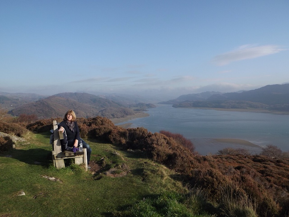
Eryri National Park, WA
Steep, often boggy loop to a sweeping Mawddach Estuary viewpoint
Overview
Map & elevation
Plan your hike

The highest, rockiest slopes around here are a summer buffet for grizzly bears.
Eryri Tour Guide
Parkwolf is a GPS audio tour guide for Eryri National Park. As you drive, it chimes in with what’s ahead: hidden gems, upcoming stops, history, geology, and wildlife, right through your car’s speakers.
Recorded for this area
Two Homes on the Hills“Some Eryri farm names describe an old rhythm of moving between two homes. The hendre was the main farm on the better valley grazing.”
Plays on the road 0.5 km from the trailhead in the Parkwolf Eryri Tour Guide.
More stories near here in the app
“Fantastic app with many points of information… It’s great to just turn on while you’re driving and it gives you an audio tour of the national Park. We love it!!!!”


Trail guide
This is a circular walk, and the complete loop is 4 miles / 6.5 km, usually reckoned at about three hours. Depending on the exact lines you follow it can measure a touch longer than the official figure, so treat 4 miles as the round number rather than the gospel.
From the national park car park above Barmouth you climb fairly quickly to the Panorama viewpoint on Dinas Oleu, which is the headline moment: the Mawddach Estuary spread out below, the Cader Idris range behind it and Cardigan Bay opening west. The rest of the loop is quieter and more inland, dropping through Cutiau, where there are remnants of old Victorian gardens, then up to Bwlch y Llan, along a stretch of Taith Ardudwy, past Gellfawr and back down to the car park.
The official grading is not consistent: it carries a hard or strenuous badge, while the accompanying description talks about it in moderate terms. Both readings are defensible. The climbs are short but genuinely steep, and the total distance is modest, so a regular hill walker will find it moderate while anyone new to Welsh hill paths will find it strenuous. Plan for the harder end.
Expect grassy and woodland paths, some of them narrow and hard to follow, plus several gates and a short section on road. It is very wet underfoot in places, which is the thing most people underestimate here. Boots with grip, not trainers, and a willingness to squelch.
Start from the national park car park near Barmouth, grid reference SH 625 166. Use the designated parking only. The lanes around the route are residential and working farmland, so do not block field gates or driveways.
Dogs are fine on the public footpaths and open access land here, under close control throughout. Use a short lead near livestock, and note that on open access land a lead no longer than 2 m is required from 1 March to 31 July.
You get a wide estuary view for a short walk, but the payoff is front loaded and the back half is more about pleasant lanes and field paths than drama. If the climbing, the vague paths or the mud do not appeal, the Mawddach Trail along the south shore of the estuary is the more accessible alternative and gives you the same water and mountain backdrop with far less effort.
Wildlife
 77 sightingsGrey HeronMost seen around 7 AMSighting map
 17 sightingsTawny OwlMost seen around 6 AMSighting map
 32 sightingsCommon RavenMost seen around 8 AMSighting map
 21 sightingsGreat Spotted WoodpeckerMost seen around 7 AMSighting map
 18 sightingsEuropean RabbitMost seen around 7 AMSighting map
 161 sightingsViviparous LizardMost seen around 10 AMSighting map
Sighting maps show where each species has been reported across Eryri. Wildlife moves, so no sighting is guaranteed.
Keep exploring
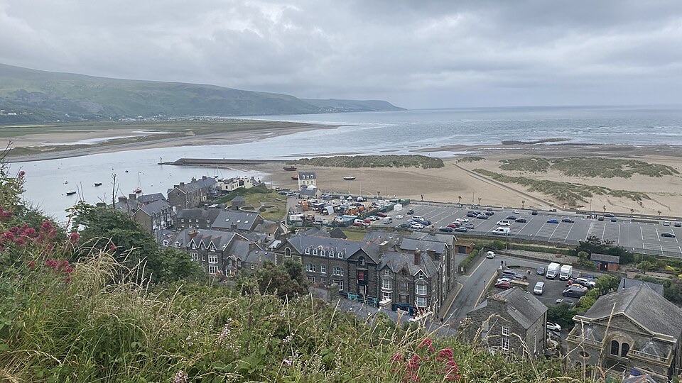 ModerateDinas Oleu Walk1.9 km · 1.3 hr · 1.4 km awayShort steep climb to gorse-clad views over the Mawddach and Cardigan Bay
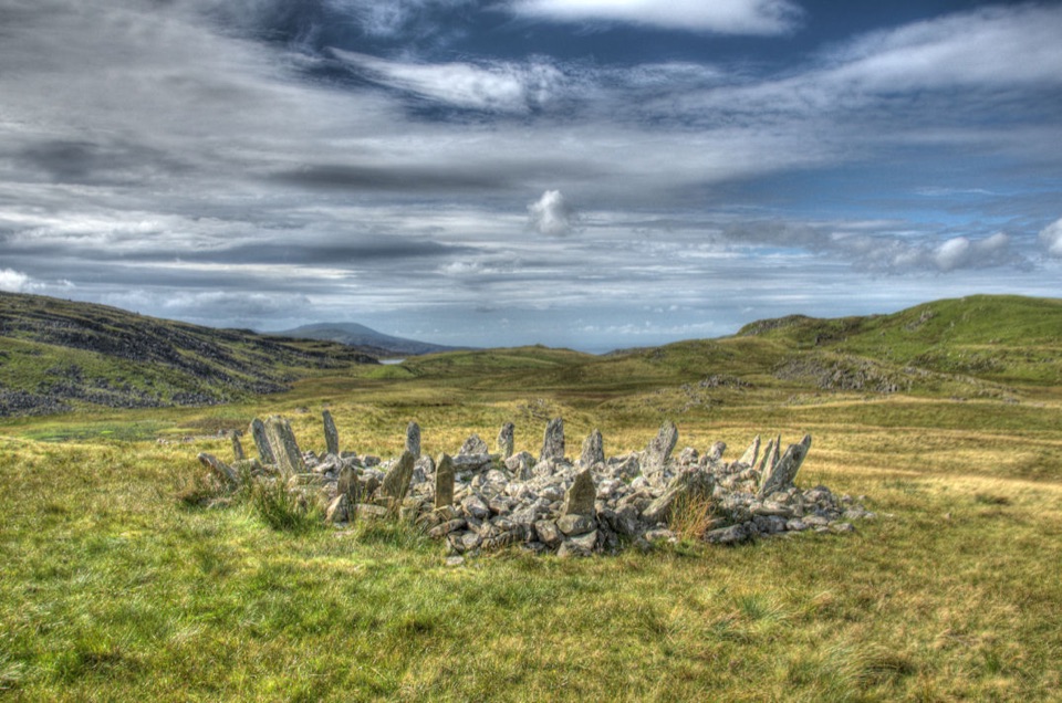 ChallengingTaith Ardudwy Way38.9 km · 13.5 hr · 1.4 km awayThree days of quiet moorland, lakes and a Bronze Age stone circle
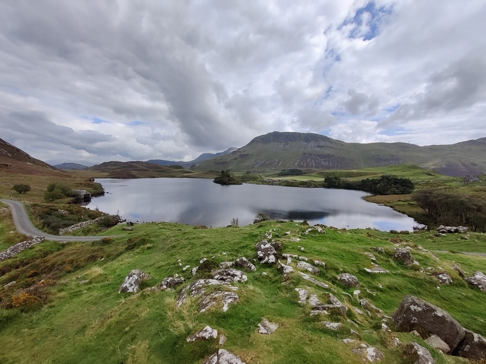 ModerateRhaeadrau Arthog and Llynnau Cregennan13.7 km · 4 hr · 2.2 km awayWaterfall, hilltop lakes, ancient woods and estuary on one 13.7 km loop
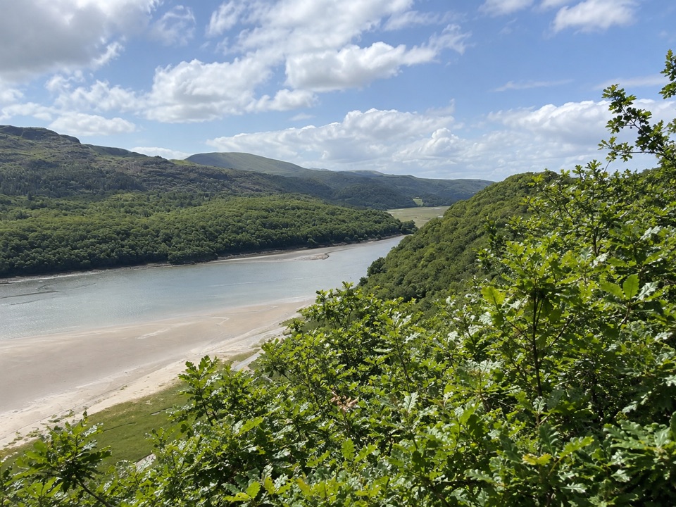 ModerateFarchynys Walk2 km · 1 hr · 4.3 km awayTwo estuary viewpoints on a short woodland circuit above the Mawddach
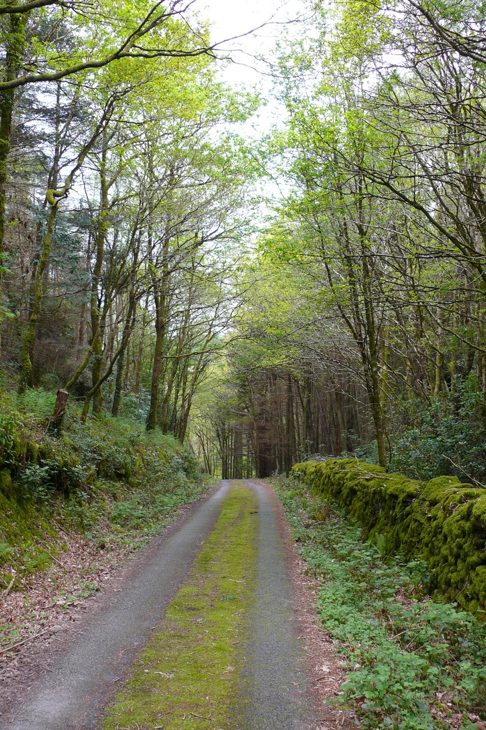 ModerateClogau Trail6.5 km · 3 hr · 5.9 km awayEstuary banks, oak woods and old gold workings on a steady loop
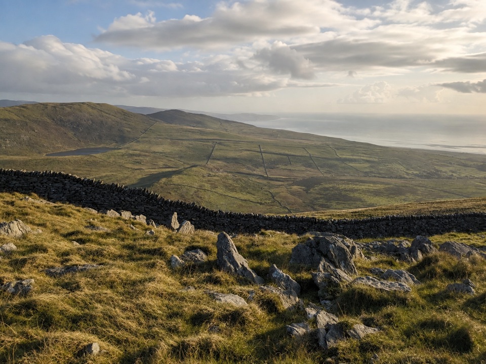 ModerateCraig y Ddinas6.9 km · 2 hr · 6.9 km awayClimb open upland to an Iron Age hillfort on its own rock
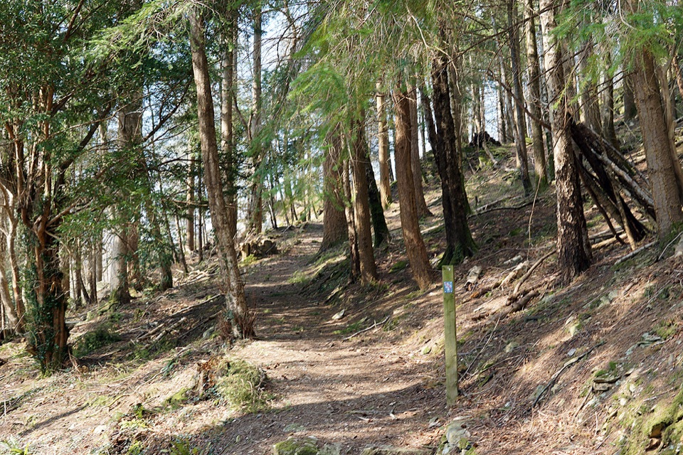 ModerateAbergwynant Woods6 km · 2 hr · 7.3 km awayZigzag climbs, oak woodland and wide views over the Mawddach estuary
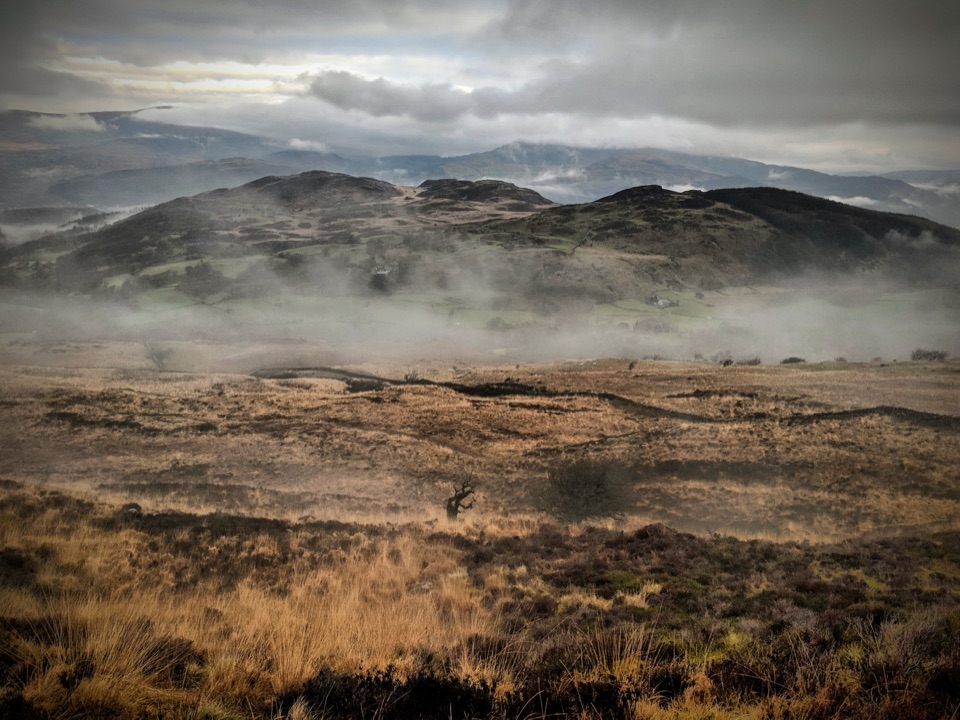 ChallengingPony Path (Tŷ Nant)10 km · 5 hr · 7.4 km awaySteady zigzag climb to Cader Idris summit, with a short rocky scramble
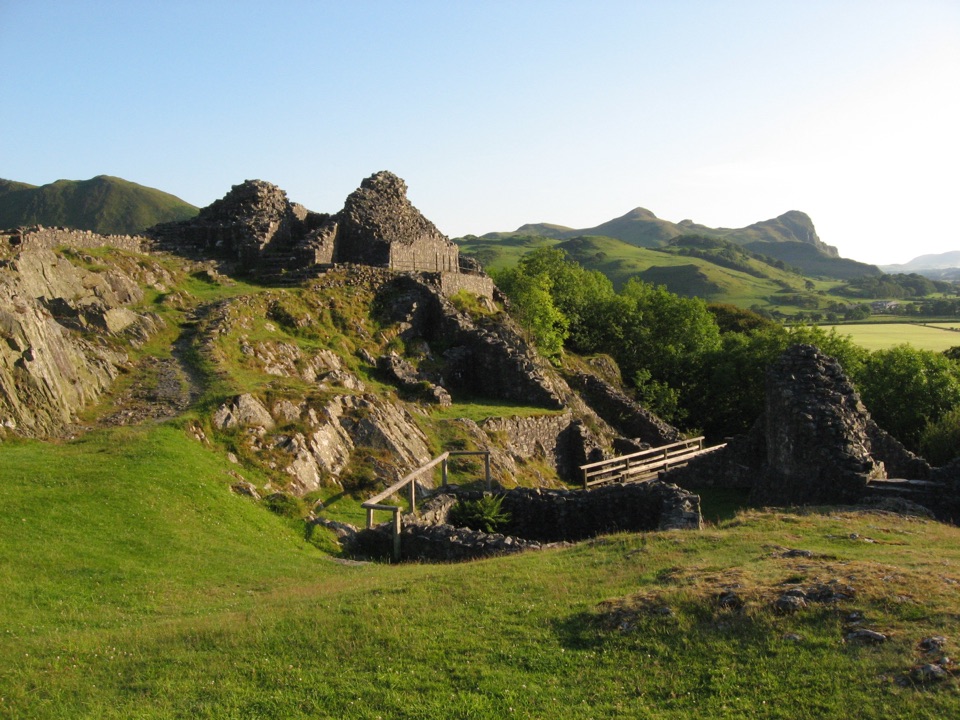 Sight · 8.9 km awayCastell y BereRuined Welsh stronghold on a rocky crag above the Dysynni
 Sight · 9.2 km awayCader IdrisA high rocky summit above the dark bowl of Llyn Cau
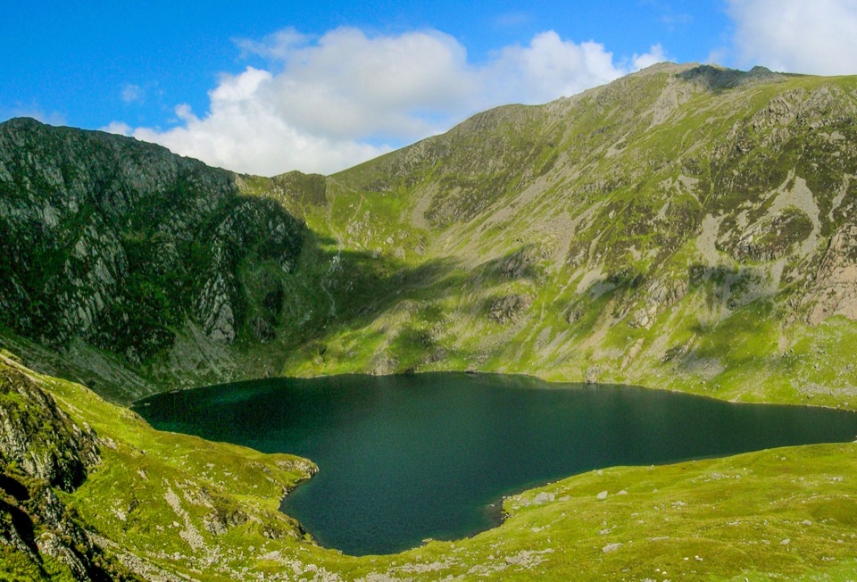 Sight · 9.8 km awayLlyn CauA glacial lake tucked beneath Cadair Idris's steep crater rim
 Sight · 10.1 km awayCymer AbbeyThree medieval arches frame the Mawddach valley
 Sight · 10.4 km awayTŷ SiamasA Welsh folk-music centre in a handsome former market hall
 Sight · 10.4 km awayDolgellauGrey dolerite townscape and tangled lanes beneath Cader Idris
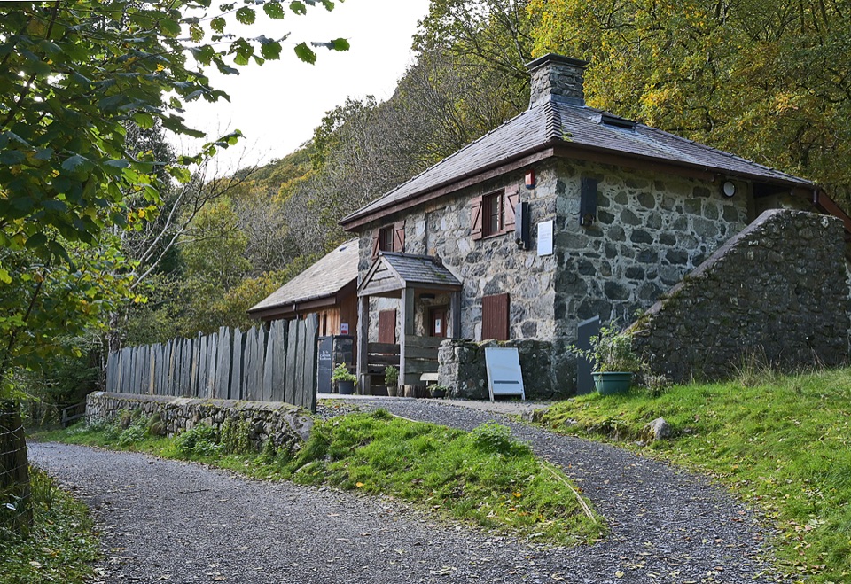 Visitor center · 11.4 km awayCader Idris Visitor CentreA stone mountain base with wildlife exhibits and gentle woodland paths
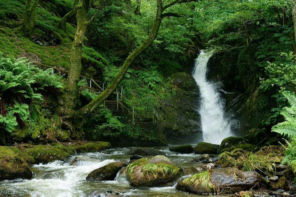 Sight · 12.2 km awayDolgoch FallsThree forest waterfalls linked by a steep, atmospheric ravine walk
Parkwolf’s Eryri ranking

The audio tour guide for the drive, plus offline maps, trails, and wildlife heatmaps for when the signal drops.




