Parking
Start at the lay-by at the Dolgellau end of Bontddu off the A496. Park only in designated areas and do not block field or residential entrances. The T3 bus between Barmouth and Wrexham stops at Bontddu.
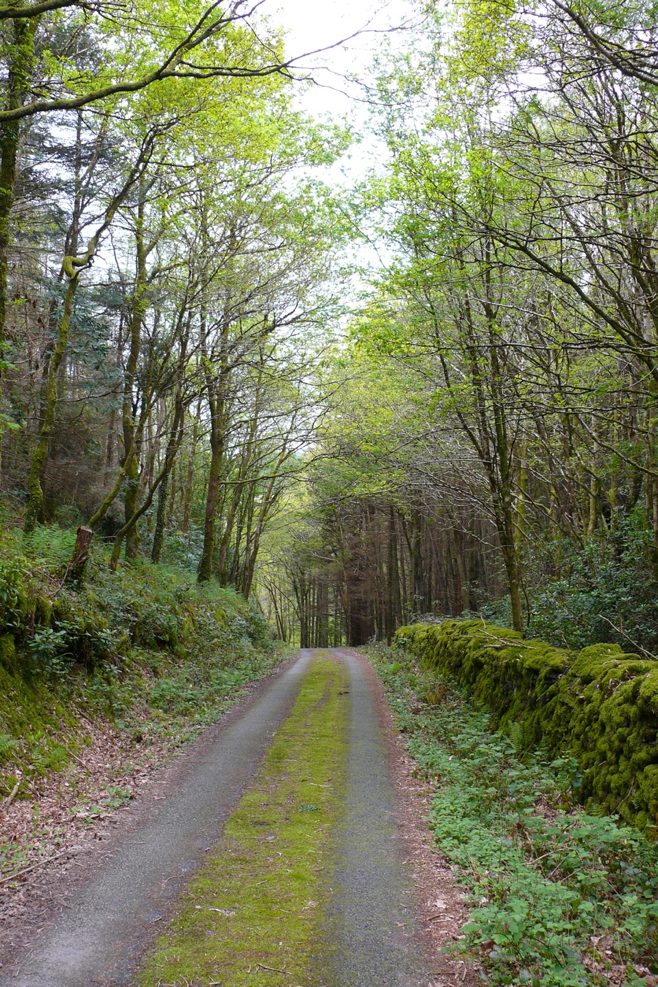
Eryri National Park, WA
Estuary banks, oak woods and old gold workings on a steady loop
Overview
A circular promoted walk of 6.5 km (4 miles), usually taking about 3 hours, graded Moderate. It starts and finishes at the lay-by at the Dolgellau end of Bontddu, just off the A496. Detailed mapping of the line, including its bends and the short access back to the lay-by, reads a little over 7 km, so allow for that if you track your walks.
Map & elevation
Plan your hike

The highest, rockiest slopes around here are a summer buffet for grizzly bears.
Eryri Tour Guide
Parkwolf is a GPS audio tour guide for Eryri National Park. As you drive, it chimes in with what’s ahead: hidden gems, upcoming stops, history, geology, and wildlife, right through your car’s speakers.
Recorded for this trailhead
Clogau Trail and the Gold Mine“Bontddu is coming up, where the Clogau Trail climbs toward old gold-mine workings above the Mawddach. Gold from this mine went into Queen Elizabeth the Second's wedding ring.”
Plays as you drive up to this trailhead in the Parkwolf Eryri Tour Guide.
More stories near here in the app
“Fantastic app with many points of information… It’s great to just turn on while you’re driving and it gives you an audio tour of the national Park. We love it!!!!”


Trail guide
The loop pairs industrial heritage with quiet woodland and calm streams, grassy meadows and the wide Mawddach estuary. Higher ground opens views toward Cader Idris, Aran Fawddwy, Aran Benllyn and Rhobell Fawr. The estuary and the long mountain skyline are the strongest photographic subjects, and both sit best on the climbing and open sections rather than at the start.
Best suited to walkers with some experience and reasonable fitness. Expect steep or unsurfaced paths, marshy ground, gates and field paths, plus a stretch of steep tarmac out of Bontddu. Walking boots and waterproof layers are sensible.
The gorge near Figra Bridge is steep and the river flow there is strong, so keep well back from edges and water. Take care crossing the A496 at the beginning and end.
Dogs are welcome. The Garth Gell section is permissive, so keep dogs on a lead there and anywhere animals are grazing.
Park only in designated areas and do not block field or residential entrances. The T3 bus between Barmouth and Wrexham stops at Bontddu, which sits on the route itself.
Wildlife
 77 sightingsGrey HeronMost seen around 7 AMSighting map
 17 sightingsTawny OwlMost seen around 6 AMSighting map
 32 sightingsCommon RavenMost seen around 8 AMSighting map
 21 sightingsGreat Spotted WoodpeckerMost seen around 7 AMSighting map
 18 sightingsEuropean RabbitMost seen around 7 AMSighting map
 161 sightingsViviparous LizardMost seen around 10 AMSighting map
Sighting maps show where each species has been reported across Eryri. Wildlife moves, so no sighting is guaranteed.
Keep exploring
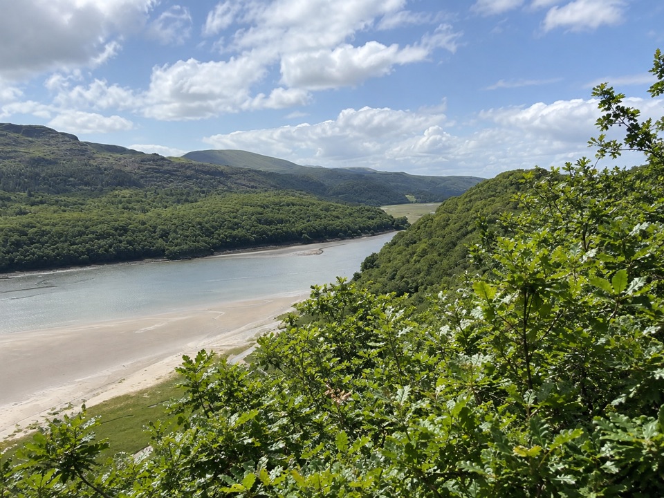 ModerateFarchynys Walk2 km · 1 hr · 1.7 km awayTwo estuary viewpoints on a short woodland circuit above the Mawddach
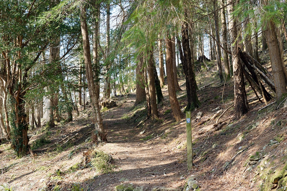 ModerateAbergwynant Woods6 km · 2 hr · 1.8 km awayZigzag climbs, oak woodland and wide views over the Mawddach estuary
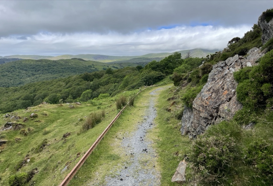 ModerateNew Precipice Walk1.7 km · 1 hr · 2.3 km awayA short hillside path on an old tramway above the Mawddach estuary
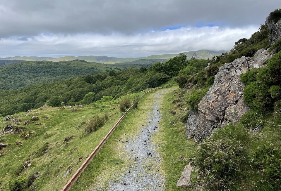 EasyFoel Ispri Path0.7 km · 15 min · 2.3 km awayFlat, step-free out and back to an elevated Mawddach Estuary view
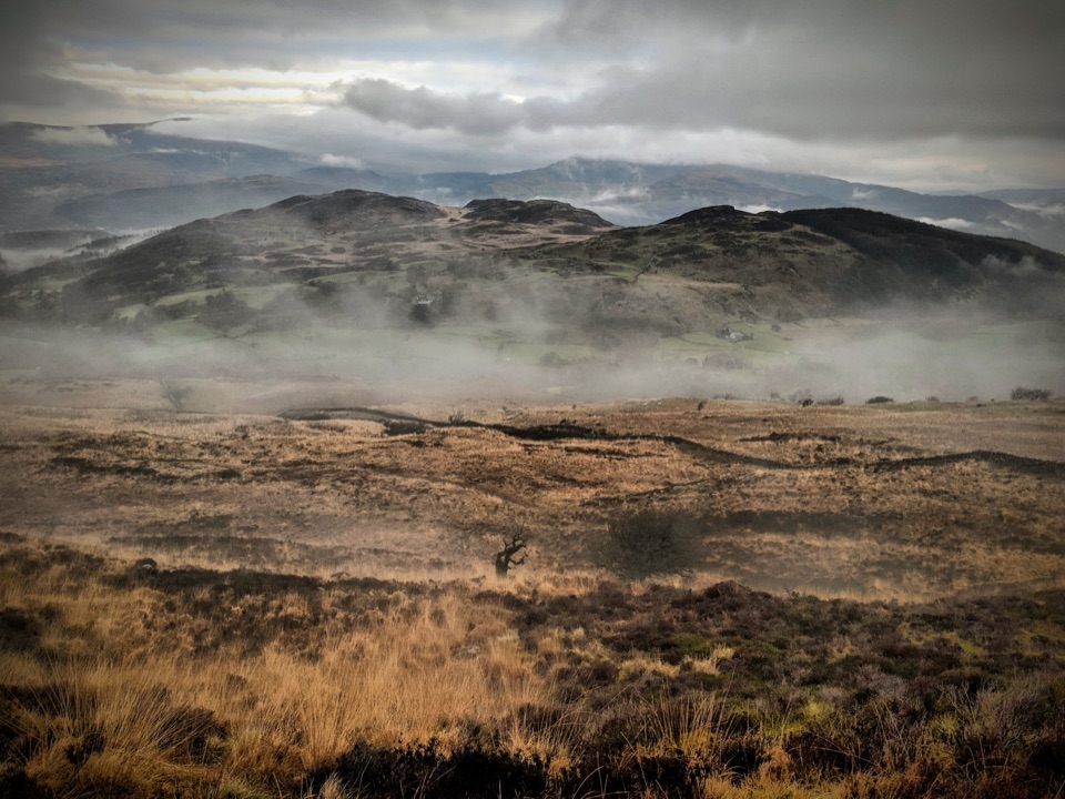 ChallengingPony Path (Tŷ Nant)10 km · 5 hr · 4.2 km awaySteady zigzag climb to Cader Idris summit, with a short rocky scramble
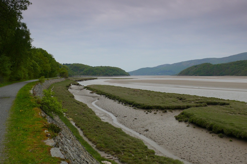 EasyMawddach Trail15 km · 6 hr · 5.1 km awayFlat estuary railway path from Dolgellau to Barmouth, wheelchair friendly
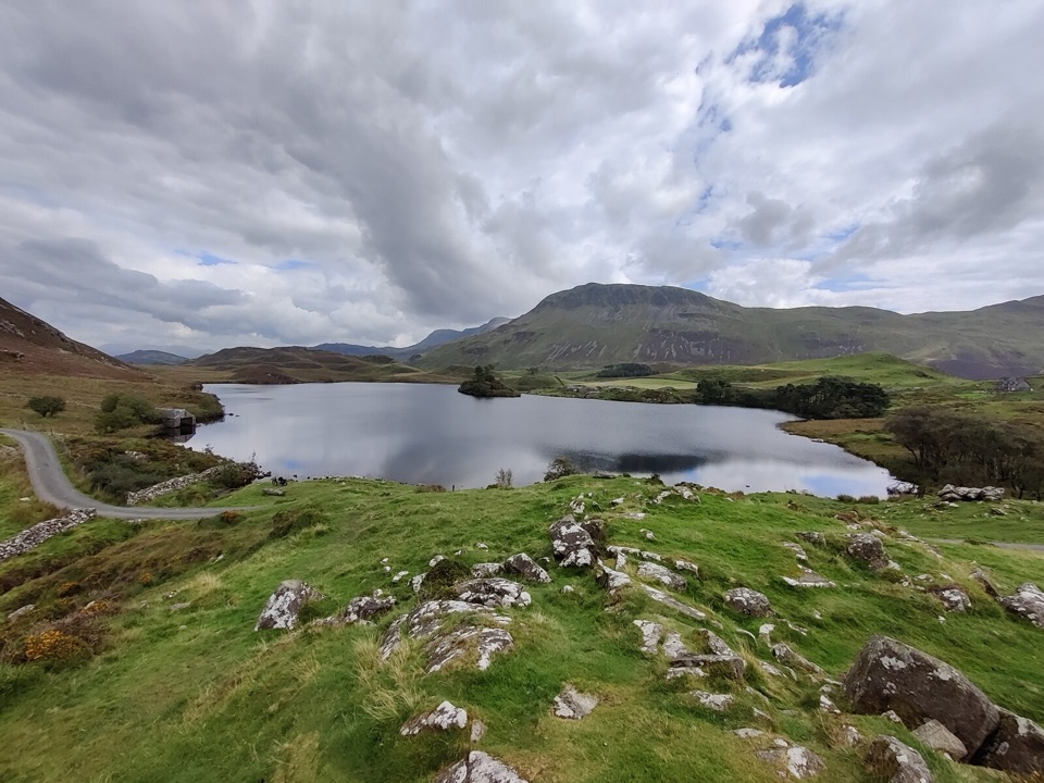 ModerateRhaeadrau Arthog and Llynnau Cregennan13.7 km · 4 hr · 5.6 km awayWaterfall, hilltop lakes, ancient woods and estuary on one 13.7 km loop
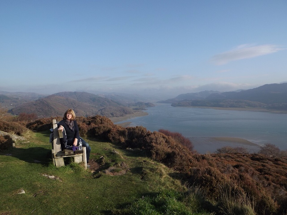 ChallengingPanorama Walk6.4 km · 3 hr · 5.9 km awaySteep, often boggy loop to a sweeping Mawddach Estuary viewpoint
 Sight · 4.3 km awayCymer AbbeyThree medieval arches frame the Mawddach valley
 Sight · 5.1 km awayTŷ SiamasA Welsh folk-music centre in a handsome former market hall
 Sight · 5.1 km awayDolgellauGrey dolerite townscape and tangled lanes beneath Cader Idris
 Sight · 6.8 km awayCader IdrisA high rocky summit above the dark bowl of Llyn Cau
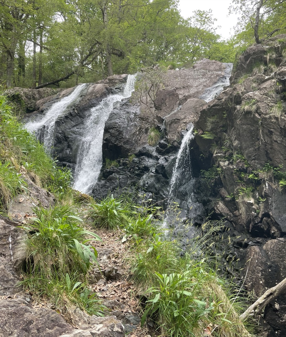 Sight · 7 km awayRhaeadr Ddu (Black Falls)Two mossy cascades drop about 60 feet through ancient oak woodland
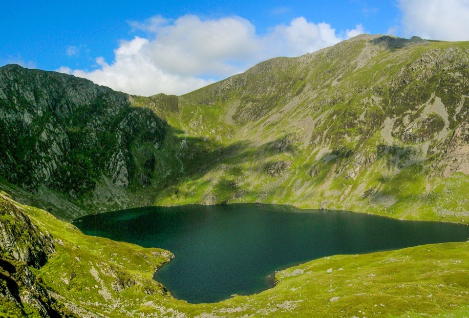 Sight · 7.5 km awayLlyn CauA glacial lake tucked beneath Cadair Idris's steep crater rim
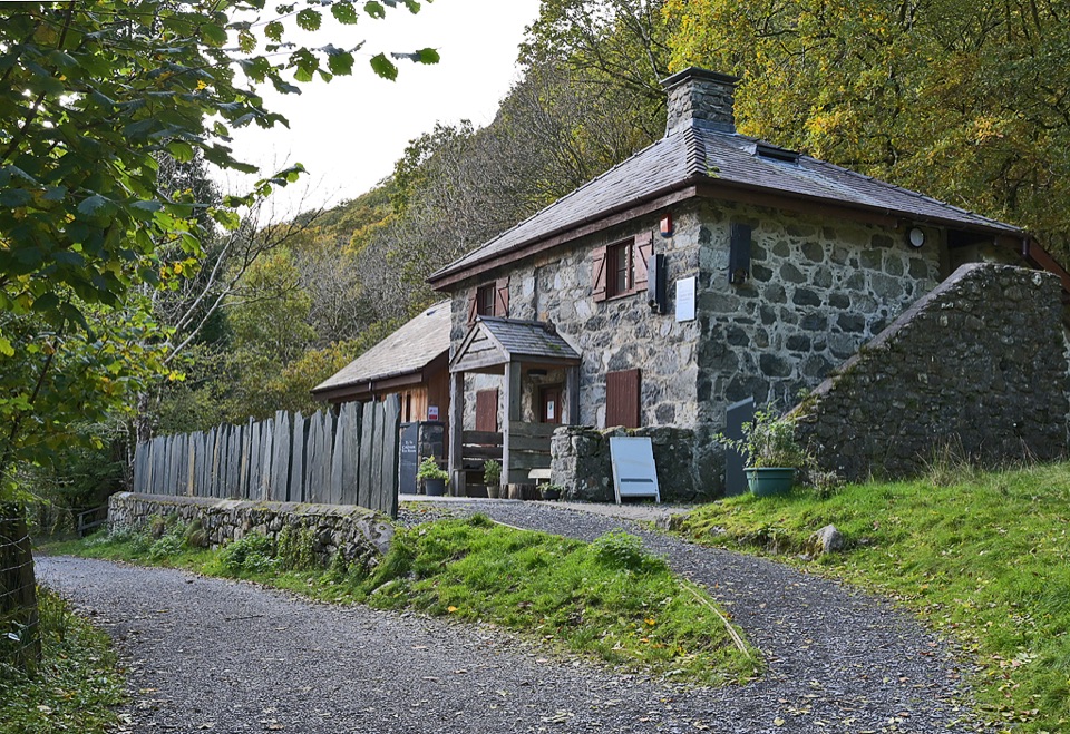 Visitor center · 8.9 km awayCader Idris Visitor CentreA stone mountain base with wildlife exhibits and gentle woodland paths
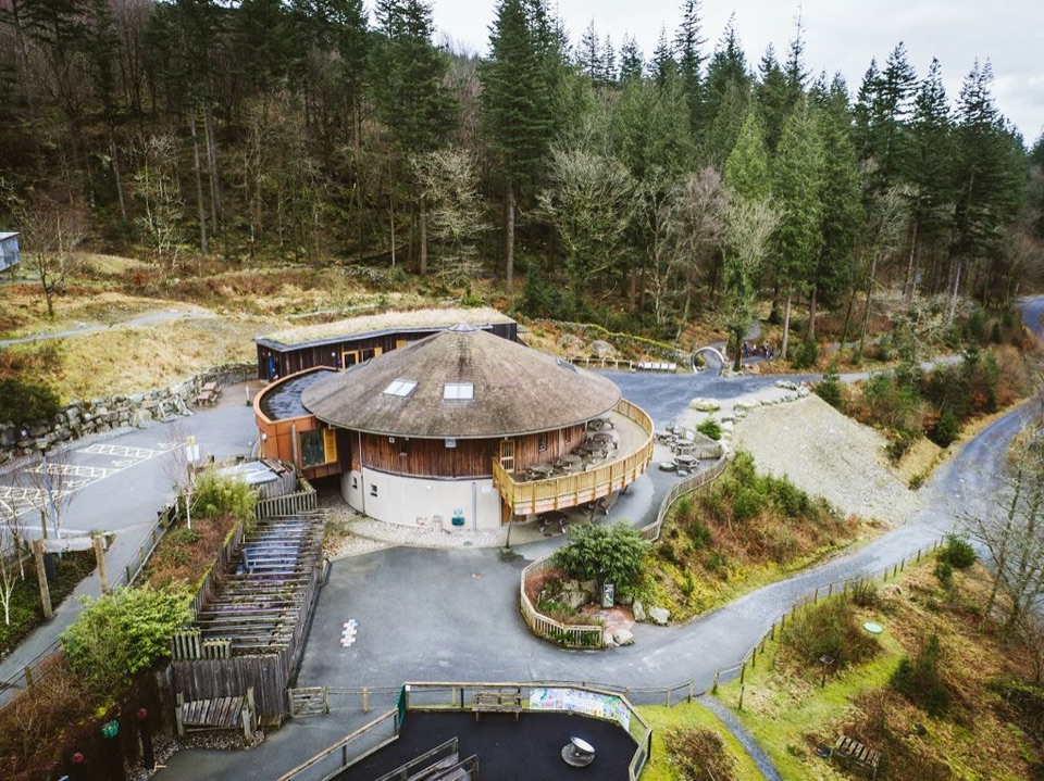 Visitor center · 9.1 km awayCoed y Brenin Visitor CentreBritain’s first purpose-built mountain-bike centre, now a quiet trailhead
Parkwolf’s Eryri ranking

The audio tour guide for the drive, plus offline maps, trails, and wildlife heatmaps for when the signal drops.




