Lady Mary’s Walk in Eryri National Park

Eryri National Park, WA

Lady Mary’s Walk

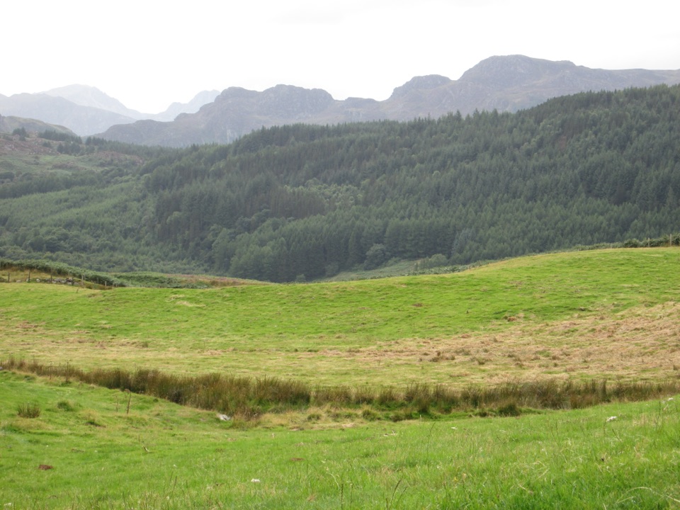
Forest loop past a Tudor bowling green to Conwy Valley views

Photo: Public Domain
Length
2.1km
Time
1hr
Elev. change
101m
Difficulty
Moderate
  • Loop
  • Dogs allowed
  • High point 146 m

Hear the audio tour

The Church That Saved a Climb

Overview

About Lady Mary’s Walk

Why go

  • Historic estate story and sculptures
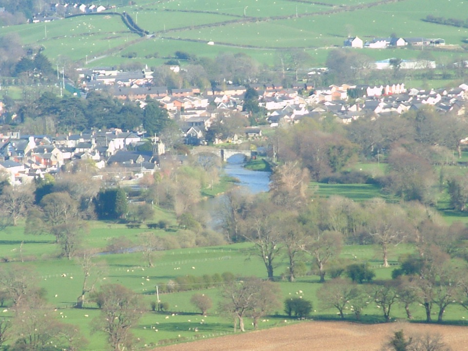
  • Views towards Llanrwst and the Conwy Valley
  • Short, waymarked circuit with optional audio trail

Heads up

  • Rough muddy sections with roots and loose rock
  • Three narrow chicanes and a steep initial section
  • Shared forest setting with bikes, horses and vehicles

Map & elevation

The route

Loading the Eryri map
Full map
Elevation45–146 m
TrailheadSawbench car park (Mainc Llifio)53.13208, -3.80931
Keep this map with you offline in the Parkwolf app

Plan your hike

Before you go

Parking

Start at Sawbench car park (Mainc Llifio), about one mile west of Llanrwst. From Llanrwst take the B5106 towards Betws-y-coed, turn left at the brown and white Gwydir Castle sign, immediately right onto the minor road, then take the first forest road on the left signposted Mainc Llifio/Sawbench. Parking is free and overnight parking is not permitted.


Safety

Expect an initial steep section, narrow unmade paths, mud, rocks and tree roots, plus three chicanes with gaps of about 60 cm. This is a mixed-use forest, so watch for bikes, horses and vehicles and follow the waymarkers and site instructions.

A park ranger sits on a dash-mounted phone, talking, as Parkwolf’s Tour Guide plays “Army Cutworm Moths: A Grizzly Bear Buffet” on Grand Loop Road below Dunraven Pass in Yellowstone
Parkwolf Tour GuideThe highest, rockiest slopes around here are a summer buffet for grizzly bears.

Eryri Tour Guide

Your drive to Lady Mary’s Walk, narrated.

Parkwolf is a GPS audio tour guide for Eryri National Park. As you drive, it chimes in with what’s ahead: hidden gems, upcoming stops, history, geology, and wildlife, right through your car’s speakers.

Recorded for this area

The Church That Saved a Climb
0:00 / 0:26
“St Mary's Church in Trefriw comes with a story about a very long walk.”

Plays on the road 1.1 km from the trailhead in the Parkwolf Eryri Tour Guide.

More stories near here in the app

  • Gwydir's Planted Woods
  • Gwydir Forest Lakes Walk
  • The Mines' Second Life
  • Trefriw Woollen Mills and Fairy Falls
  • 298 audio storiesacross Eryri’s roads, triggered by GPS as you drive
  • Wildlife heatmapsfor Grey Heron, Tawny Owl, Common Raven, and 9 more
  • Works offlinemaps, 120 trails, 82 places, and audio download before you lose signal
  • CarPlay readysimple controls built for the drive
★★★★★
“Fantastic app with many points of information… It’s great to just turn on while you’re driving and it gives you an audio tour of the national Park. We love it!!!!”
JMJamesApp Store review
Download Parkwolf on the App StoreGet Parkwolf on Google Play

4.7 from 8,600+ ratings

Trail guide

Hiking Lady Mary’s Walk

The short versionThis is a 1.3 mile / 2.

This is a 1.3 mile / 2.1 km loop that starts and finishes at Sawbench car park in Gwydir Forest, and that figure covers the whole circuit rather than one leg of it. Reckon on about an hour at a steady pace, with roughly 89 m / 292 ft of climbing spread through the walk.

How the walk unfoldsWaymarked numbered posts guide you out through mixed forest, mixing wide forest roads with…

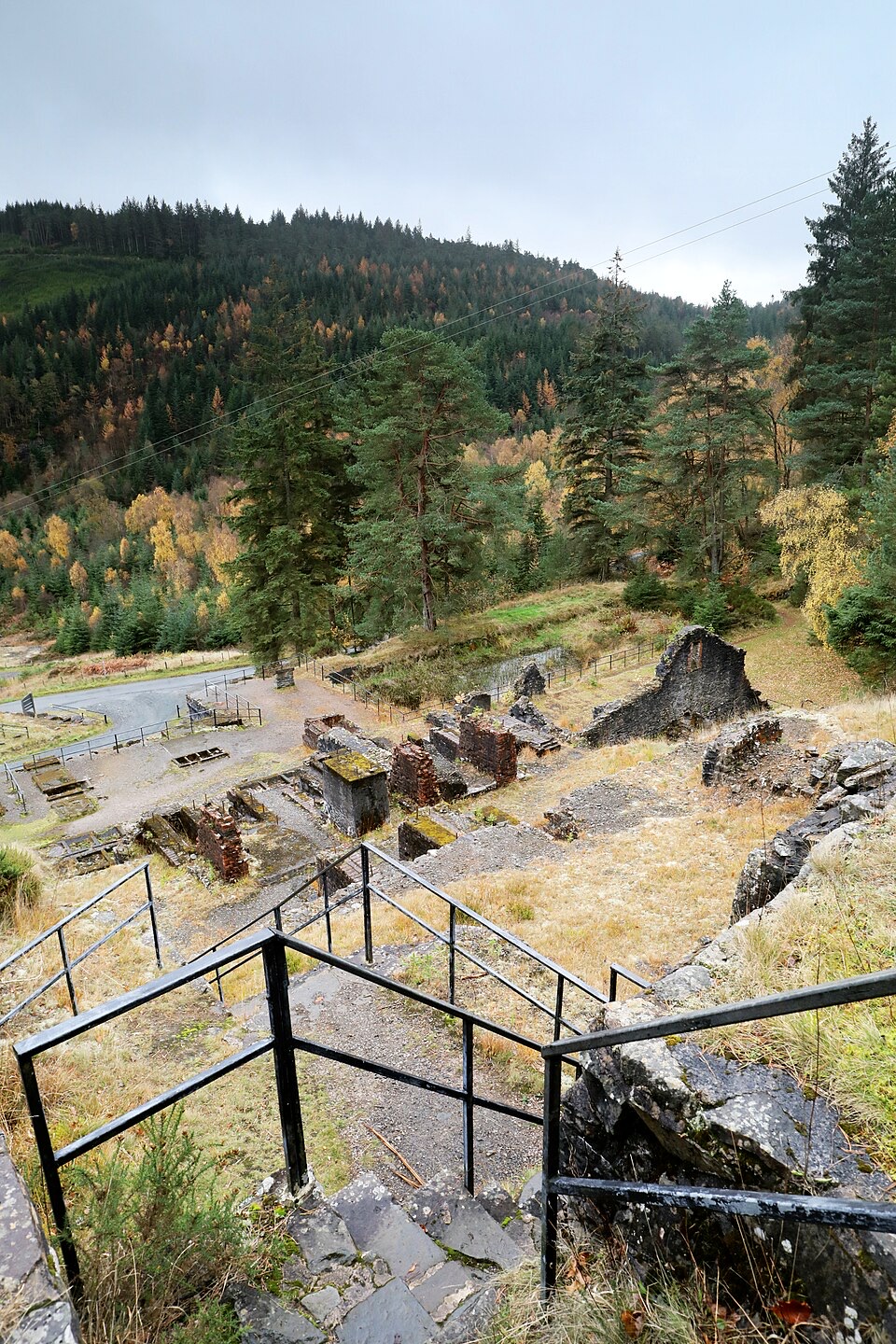
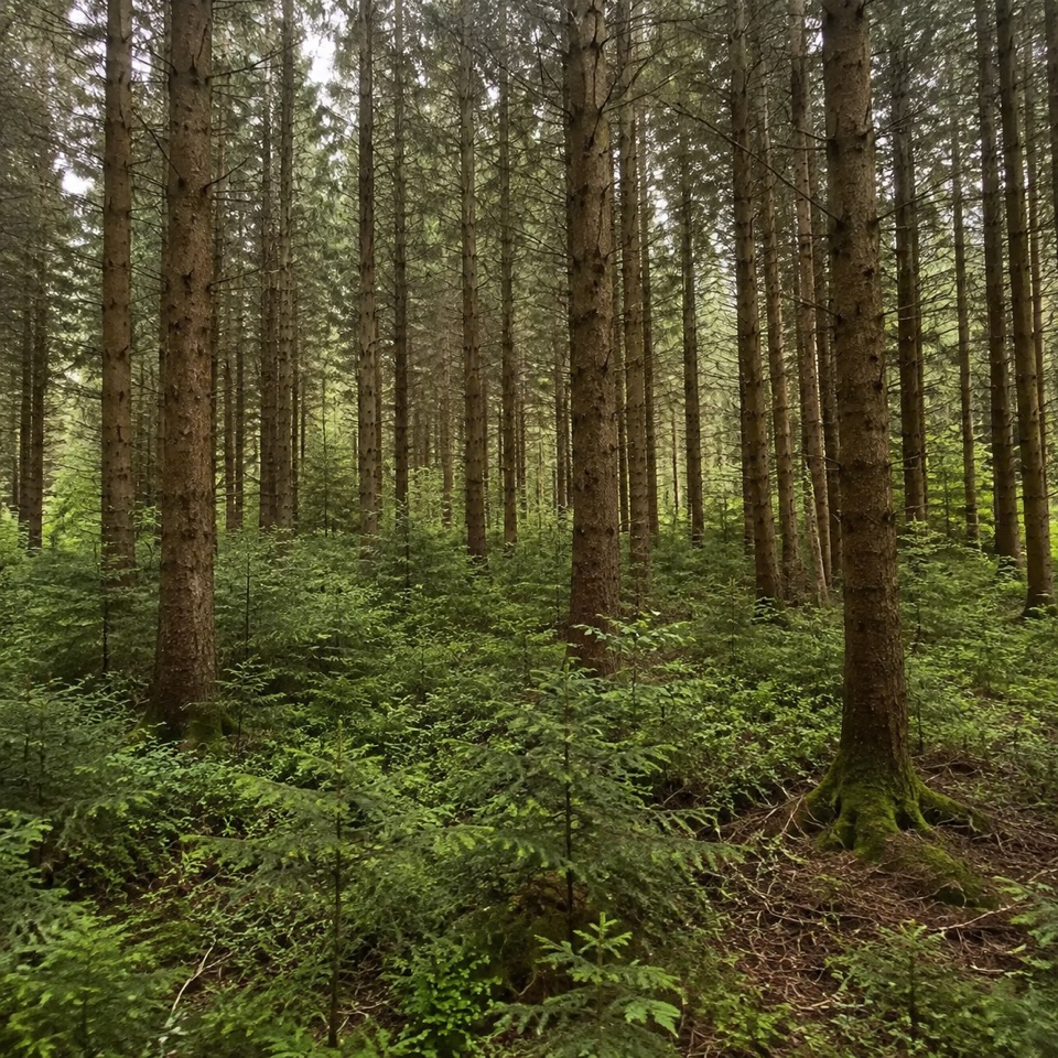
Waymarked numbered posts guide you out through mixed forest, mixing wide forest roads with narrower woodland paths. The circuit takes you to the Tudor Bowling Green, a historic clearing partway round with a picnic table and bench, then loops back with a Conwy Valley vista saved for the return leg. Resting posts and benches turn up at intervals if you want to break the walk up.

History along the wayThe route is named for one of two Lady Marys of the Wynn family, who bought the land here and…

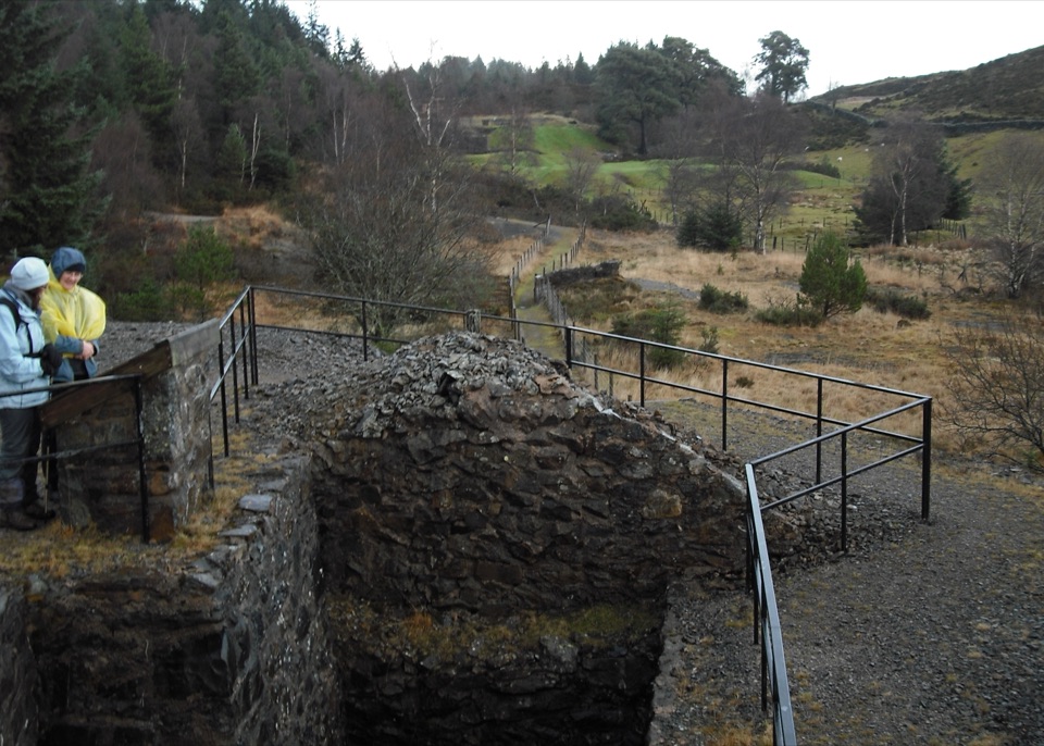
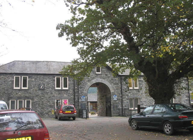
The route is named for one of two Lady Marys of the Wynn family, who bought the land here and built up the Gwydir Estate. Two sculptures by local artists sit on the circuit, one of them a memorial to the old Llanrwst Town Hall, and viewpoints give glimpses of the old market town of Llanrwst below. An optional audio trail covering Lady Mary, Llanrwst and the Wynns can be downloaded in advance and played as you follow the numbered posts.

Difficulty and footingModerate for its length.

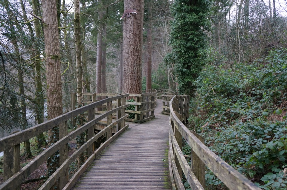
Moderate for its length. The forest roads are easy going, but stretches of the path are narrow, unmade and uneven, with mud, loose rock and tree roots to watch. There are three chicanes with gaps of about 60 cm, which is worth knowing if you are pushing a buggy or using wider wheels. Boots or shoes with grip make the rougher sections much more comfortable.

Getting there and parkingSawbench car park (Mainc Llifio) sits about a mile west of Llanrwst.

Sawbench car park (Mainc Llifio) sits about a mile west of Llanrwst. From Llanrwst, follow the B5106 towards Betws-y-coed, turn left at the brown and white Gwydir Castle sign, then immediately right onto the minor road and take the first forest road on the left signposted Mainc Llifio / Sawbench. The grid reference SH 789 609 is the reliable one to navigate by, since the LL26 0PN postcode covers a broad area and will not bring you to the entrance.

Useful to knowParking is free, but overnight parking is not allowed.
  • Parking is free, but overnight parking is not allowed.
  • There are no staff at this site, so arrive self sufficient.
  • Bring what you need for the walk with you and plan around a full hour on the loop.

Wildlife

Wildlife in Eryri

All Eryri wildlife maps

Sighting maps show where each species has been reported across Eryri. Wildlife moves, so no sighting is guaranteed.

Keep exploring

Near Lady Mary’s Walk

See it all on the map

Trails that start nearby

Places near the trailhead

Parkwolf’s Eryri ranking

Top-rated trails in Eryri

All 120 trails
  1. 1Yr Wyddfa Pyg Track and Miners’ Track LoopChallenging · 12.1 km
  2. 2Llanberis PathChallenging · 14.5 km
  3. 3Pyg TrackChallenging · 11 km
  4. 4Miners’ TrackChallenging · 12.9 km
  5. 5Cwm Idwal WalkModerate · 4.8 km
  6. 6Watkin PathChallenging · 12.9 km

Take Parkwolf to Eryri.

The audio tour guide for the drive, plus offline maps, trails, and wildlife heatmaps for when the signal drops.

4.7 from 8,600+ ratings

Download Parkwolf on the App StoreGet Parkwolf on Google Play