Parking
Use Library Car Park in Penmaenmawr, then walk Fernbrook Road, Groesffordd Lane and Mountain Lane to the Jubilee Path entrance pillars. The pillars are the loop start.
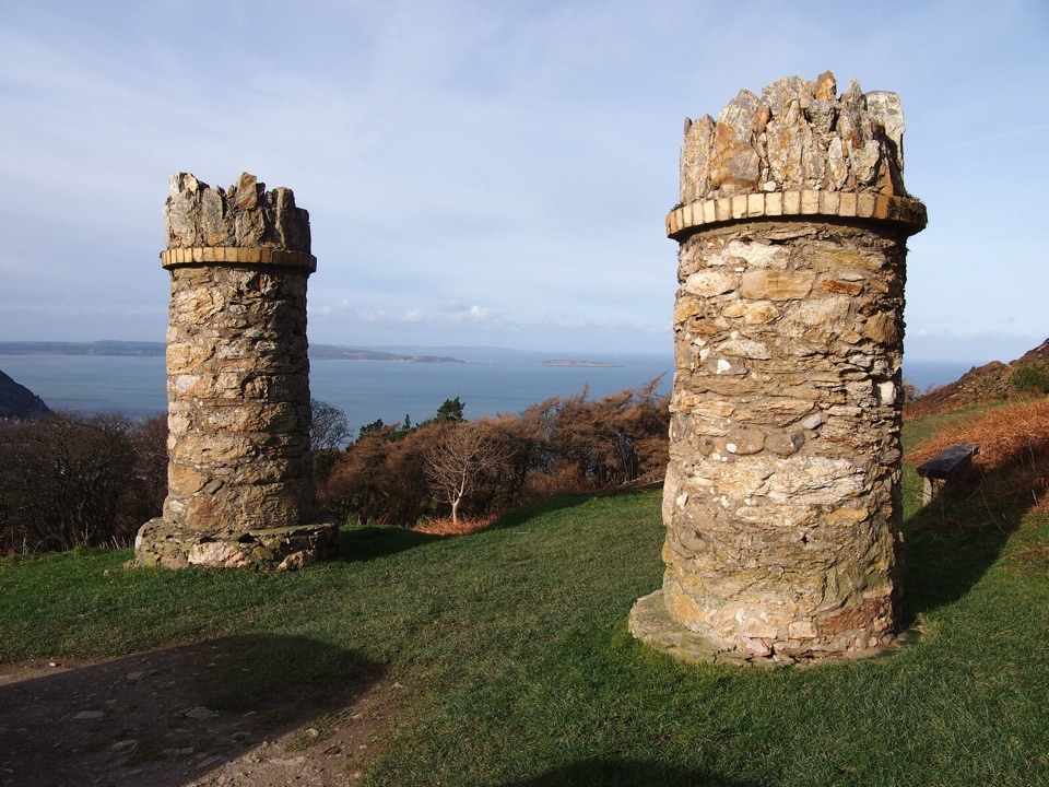
Eryri National Park, WA
Gentle 1888 loop around Foel Lus with heather and wide coastal views
Overview
Map & elevation
Plan your hike

The highest, rockiest slopes around here are a summer buffet for grizzly bears.
Eryri Tour Guide
Parkwolf is a GPS audio tour guide for Eryri National Park. As you drive, it chimes in with what’s ahead: hidden gems, upcoming stops, history, geology, and wildlife, right through your car’s speakers.
Recorded for this area
Axes From These Hills“The hills above Penmaenmawr were once a major axe-making centre. Neolithic workers shaped tough volcanic stone into axe heads, then polished them.”
Plays on the road 2.7 km from the trailhead in the Parkwolf Eryri Tour Guide.
“Fantastic app with many points of information… It’s great to just turn on while you’re driving and it gives you an audio tour of the national Park. We love it!!!!”


Trail guide
The circuit starts and finishes at the two stone pillars that mark the Jubilee Path entrance above Penmaenmawr. From there the path contours around the hill of Foel Lus, holding a high level for most of its length so the views open up almost immediately rather than being saved for a summit. Because it is a closed loop, the walk can be taken in either direction and there is no need to retrace your steps.
Rated easy to moderate. The going is straightforward but not a manicured promenade: expect a narrow upland track, grassy sections, uneven ground and slight inclines. No scrambling or technical ground is involved. Sample heights along the route sit roughly between 200 m and 300 m, which gives the loop its gentle undulation rather than any sustained climb. Footwear with grip is sensible after wet weather.
The payoff is the width of the outlook. Supported views take in Anglesey, Puffin Island, the Great Orme, Capelulo and the Sychnant Pass, combining coast and inland hill country from one short circuit. Underfoot and around you is upland heath, with gorse, ling heather and bilberry covering the slopes of Foel Lus.
The route begins at the stone pillars, which are the official start point. On foot from town, the practical approach is via the Library Car Park, then Fernbrook Road, Groesffordd Lane and Mountain Lane up to the pillars. Note that this row covers only the short Jubilee Path circuit around Foel Lus, not the much longer Penmaenmawr upland walk or the extension toward the Sychnant Pass.
Dogs should be kept under close control at all times. On open access land, follow the current short-lead rule near livestock and during the seasonal restriction period.
Wildlife
 77 sightingsGrey HeronMost seen around 7 AMSighting map
 17 sightingsTawny OwlMost seen around 6 AMSighting map
 32 sightingsCommon RavenMost seen around 8 AMSighting map
 21 sightingsGreat Spotted WoodpeckerMost seen around 7 AMSighting map
 18 sightingsEuropean RabbitMost seen around 7 AMSighting map
 161 sightingsViviparous LizardMost seen around 10 AMSighting map
Sighting maps show where each species has been reported across Eryri. Wildlife moves, so no sighting is guaranteed.
Keep exploring
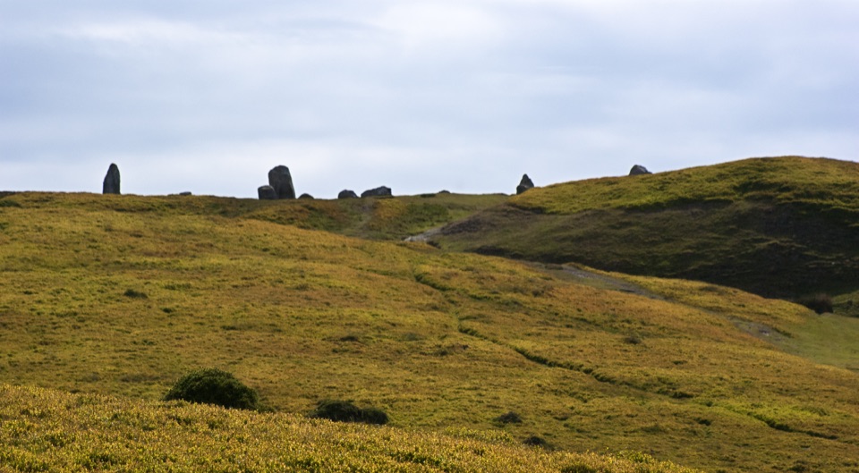 ModeratePenmaenmawr Upland Walk8.9 km · 3.5 hr · 1.2 km awaySteep 5.5-mile circuit to prehistoric stone circles with Anglesey views
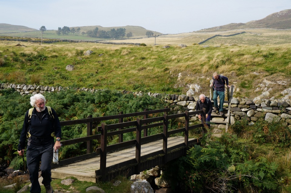 ModerateHuw Tom Upland Walk, Penmaenmawr to Rowen9.7 km · 4.5 hr · 1.5 km awayA quarryman's route over open upland from seaside terraces to Rowen
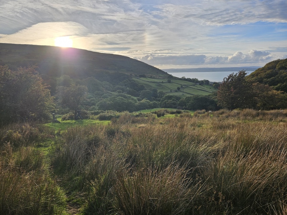 ModerateLlanfairfechan Upland Walk6.9 km · 4 hr · 4 km awayHeath, hut circles and a Roman Road above the North Wales coast
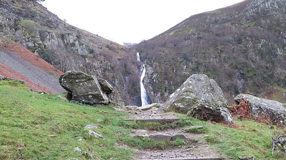 EasyRhaeadr Fawr (Aber Falls)4.5 km · 1 hr · 7.9 km awayA steady woodland climb to a tall waterfall pouring over steep rock
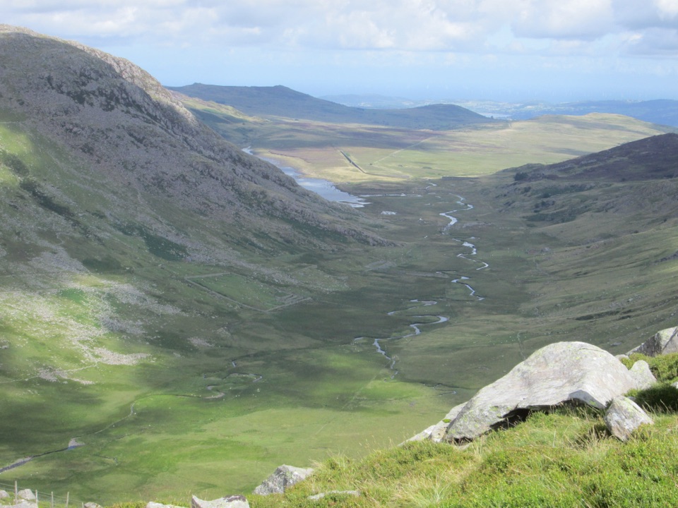 ChallengingCwm Eigiau Horseshoe17.1 km · 8 hr · 9.7 km awayThree big Carneddau summits, a short scramble and a wild reservoir return
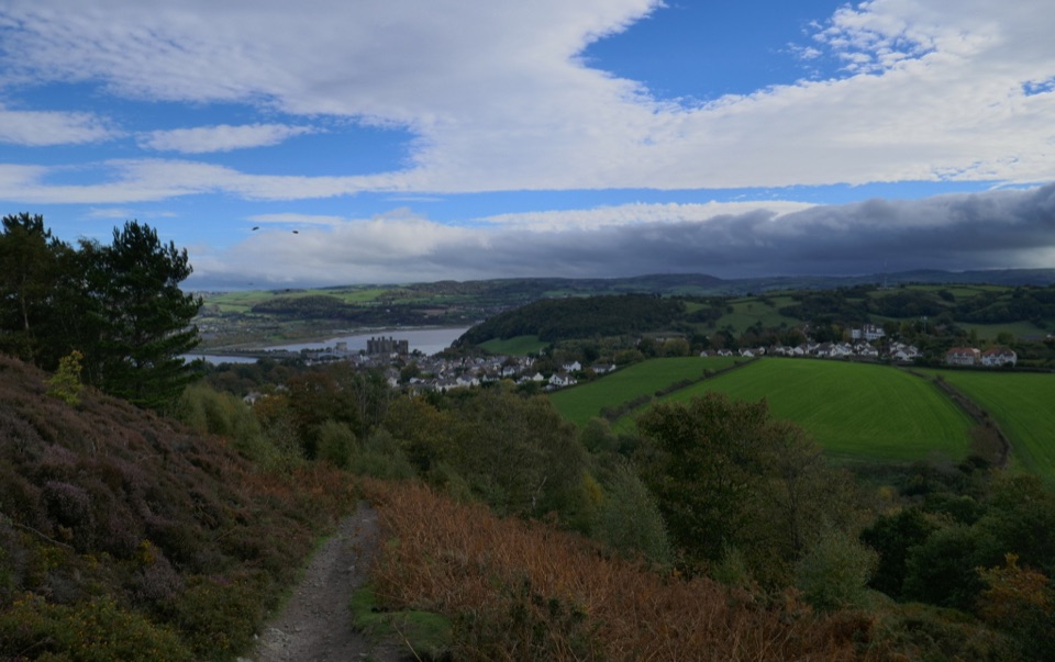 ChallengingNorth Wales Path96.6 km · 1.2 days · 13.7 km awayBangor to Prestatyn: heather ridges, promenades and castle-town views
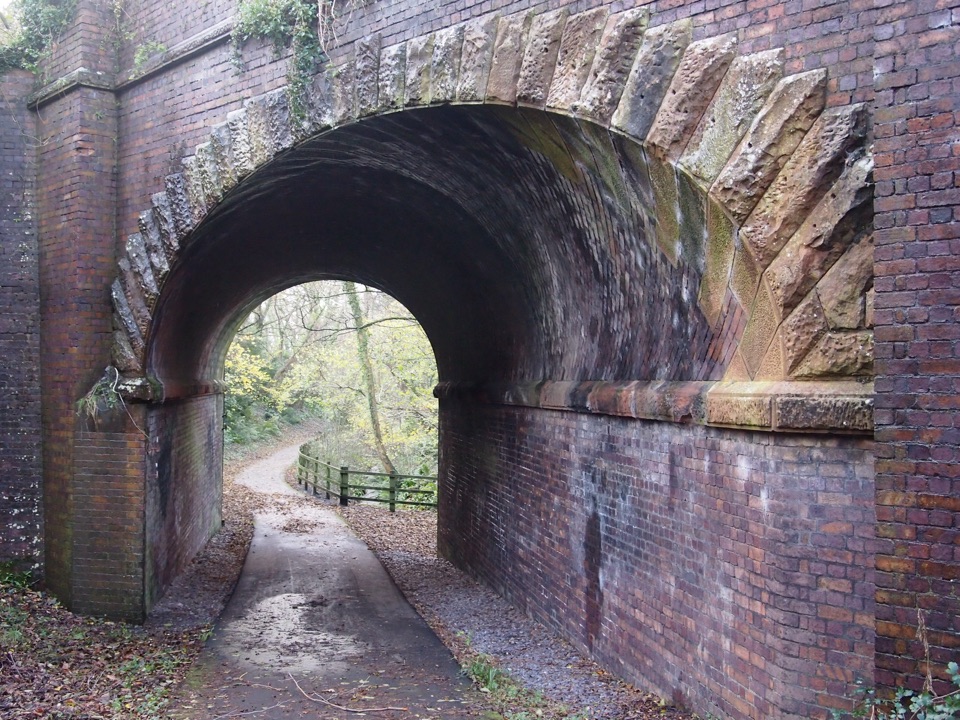 ModerateLôn Las Ogwen17.7 km · 5.3 hr · 14.2 km awaySlate railway path from tidal quay to the mountains above Nant Ffrancon
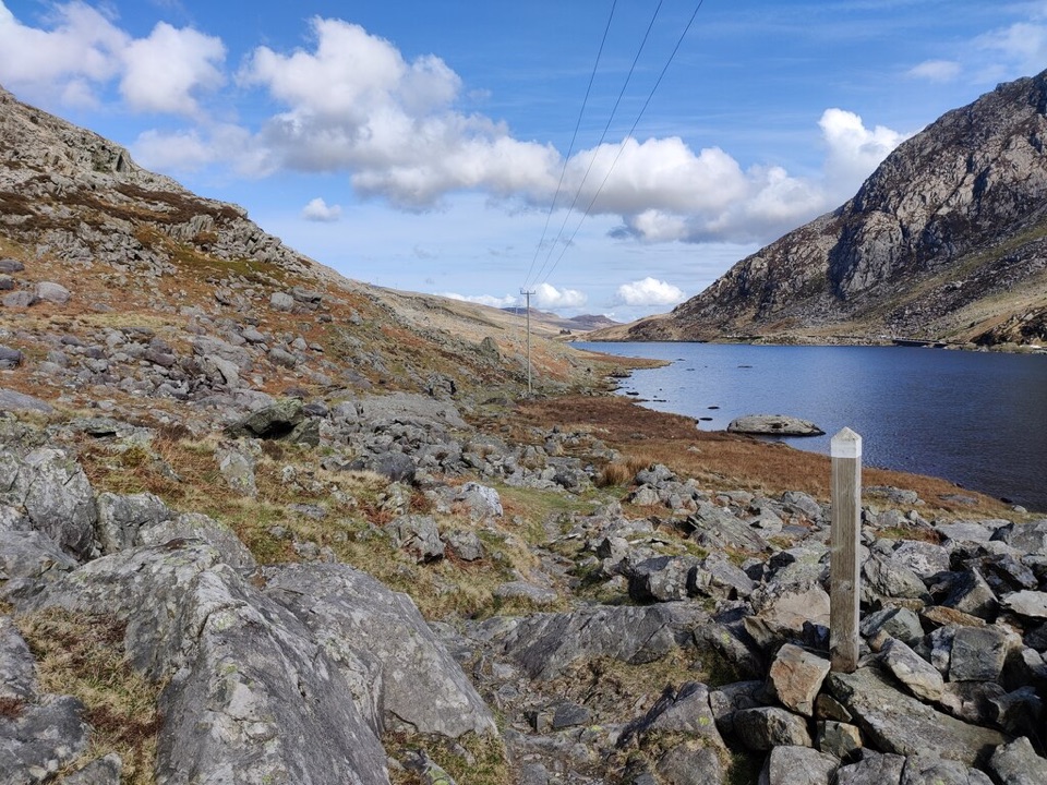 ChallengingLlwybr Llechi Eryri (Snowdonia Slate Trail)134.2 km · 2 days · 14.2 km awayBangor to Bethesda: 83 miles through quarries, lakes and wild moorland
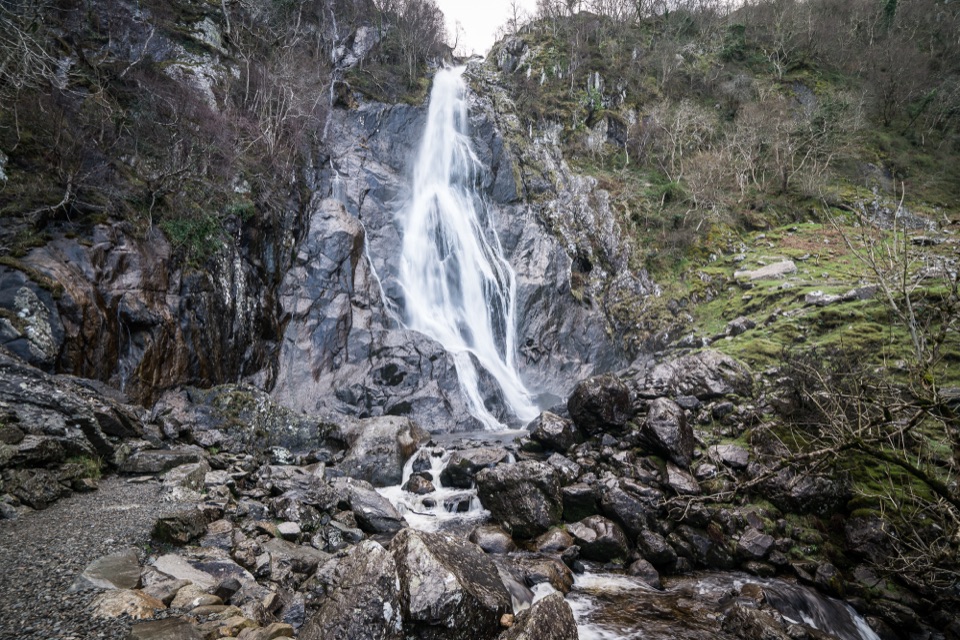 Sight · 8.6 km awayAber Falls (Rhaeadr Fawr)A 120-foot waterfall reached by an easy but uneven valley walk
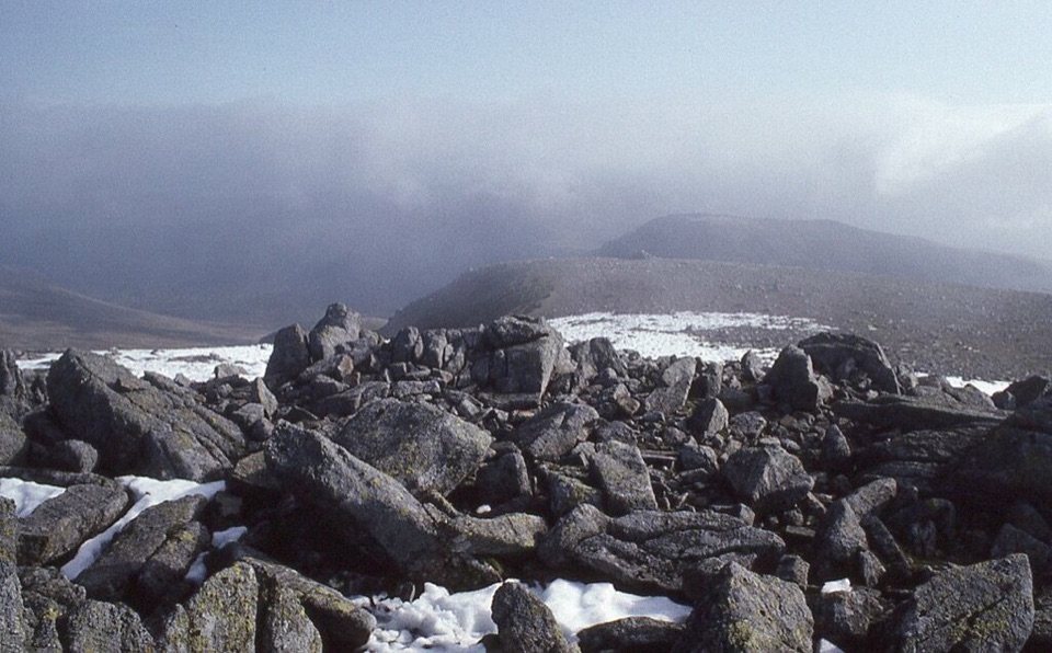 Sight · 12.5 km awayCarnedd LlewelynWindswept 1,064 m boulder plateau crowning the wild Carneddau ridges
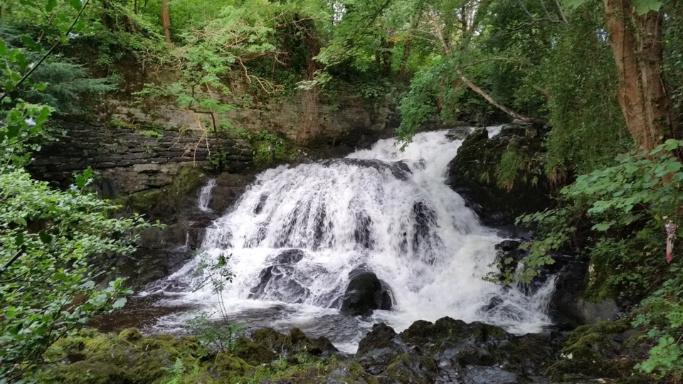 Sight · 13.8 km awayFairy Falls (Rhaeadr y Tylwyth Teg)Twenty-five feet of white water, ten minutes from the car park
 Sight · 13.9 km awayTrefriw Woollen MillsA living Welsh weaving mill where the looms still earn their keep
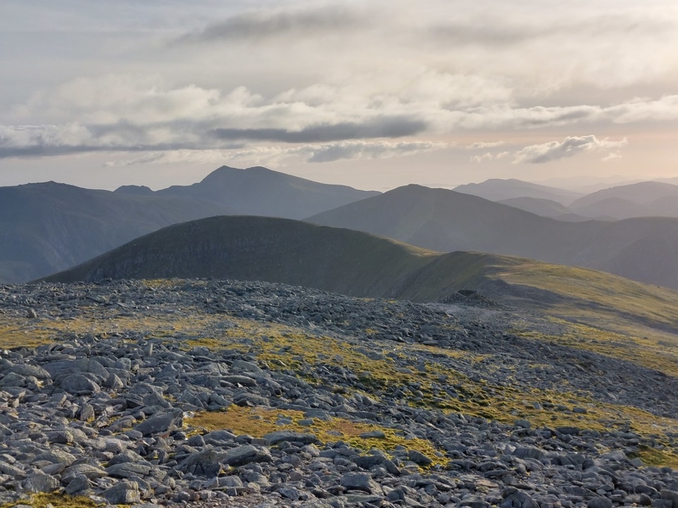 Sight · 14.6 km awayCarnedd DafyddA rugged 1,044m summit with wide Carneddau ridge views
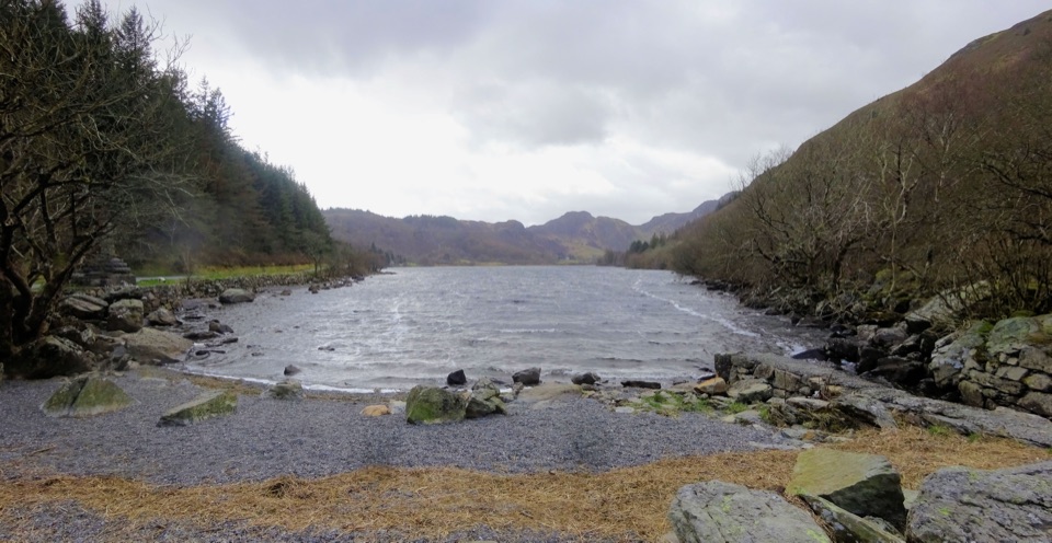 Sight · 15.1 km awayLlyn CrafnantA forest-ringed reservoir with easy lake walks and mountain reflections
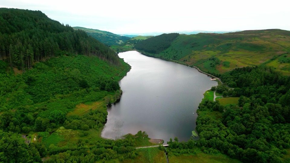 Sight · 15.9 km awayLlyn GeirionyddA forest-framed lake with a poet's monument and mountain views
Parkwolf’s Eryri ranking

The audio tour guide for the drive, plus offline maps, trails, and wildlife heatmaps for when the signal drops.




