Parking
Start at Port Penrhyn, just outside Bangor. Take the turning to the port before the sharp bend on the A5, keep to the left fork, and use the parking behind the white Old Port Office at the trail start.
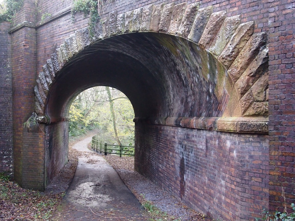
Eryri National Park, WA
Slate railway path from tidal quay to the mountains above Nant Ffrancon
Overview
Much of the line follows the old railway that carried slate from Bethesda quarry down to the coast, so the industrial story is legible the whole way: inclines, tips, sheds and the bones of a working landscape. The scenery builds rather than repeats, from enclosed riverside woodland to the wide upper trough with the Carneddau on one side and the Glyderau on the other. In the top section the glacial geology is unusually easy to read, with a U-shaped trough, aretes, truncated spurs, hanging valleys and rock steps in plain view.
 Parkwolf’s verdictWhy it is worth doing
Map & elevation
Plan your hike

The highest, rockiest slopes around here are a summer buffet for grizzly bears.
Eryri Tour Guide
Parkwolf is a GPS audio tour guide for Eryri National Park. As you drive, it chimes in with what’s ahead: hidden gems, upcoming stops, history, geology, and wildlife, right through your car’s speakers.
More stories near here in the app
“Fantastic app with many points of information… It’s great to just turn on while you’re driving and it gives you an audio tour of the national Park. We love it!!!!”


Trail guide
This is a one-way multi-use route of about 18 km (11 miles) from Port Penrhyn, just outside Bangor, to Ogwen Cottage/Idwal Cottage at the head of the Nant Ffrancon valley. It forms National Cycle Network Route 82 and is open to walkers, cyclists, runners, dog walkers and, where permitted, horse riders. All distances and times here are for the full route in one direction, not there and back. Allow roughly 5 to 5.5 hours on foot for the whole line; cycling it is considerably quicker.
Start behind the white Old Port Office at Port Penrhyn. The path runs through woodland beside a meadow and the Penrhyn Estate walls, passes close to the A5 and into the Cegin Valley, following the river over bridges and under the A55. Beyond Tregarth it goes through the new tunnel and joins the River Ogwen, passing Coed y Parc and the old Felin Fawr slate works, then climbs gently between slate tips to Ogwen Bank. From there the corridor opens into the glaciated Nant Ffrancon valley, past slate waste and the old road known locally as the Roman Road, before a final steep pull to Ogwen Cottage/Idwal Cottage and the visitor centre and snack bar area.
The project describes the cycleway as suitable for riders of all abilities, and the gradients are mostly gentle valley-floor or railway grades, but a full walk is still a long day because of the length, the one-way logistics and the final punishing climb toward Ogwen Cottage. Surfaces mix paved asphalt with gravel, plus short road sections. Expect to share the corridor with cyclists, runners, dog walkers and occasional riders, so keep left where sightlines are poor and pass wide.
There is a short road section under the A55, a bridge over the busy A4244, and a crossing of the Penrhyn Quarry/Zip World access road near Ogwen Bank that needs care and patience, especially with children or a bike trailer. Traffic near the A5 turning at the Port Penrhyn end also deserves attention.
The stored route starts at Port Penrhyn. Take the turning to the port before the sharp bend on the A5, keep to the left fork, and use the parking behind the white Old Port Office at the trail start. Because the route does not return to its start, plan the finish before you set out: either retrace your steps or arrange transport from the upper end. For a shorter and more concentrated version, join at one of the middle access points and walk or ride only the upper valley section, which carries most of the drama. Refreshments on the route are limited to the farm shop and cafe at Moel y Ci and the visitor centre and snack bar area at the top.
Dogs are welcome on the public footpaths and open-access land along the way, under close control at all times. Use a short lead near livestock or wildlife, and on open-access land keep dogs on a lead no longer than 2 m between 1 March and 31 July. There is no blanket right to let a dog run free here, and the shared-use surface makes a lead sensible around cyclists in any case.
Wildlife
 77 sightingsGrey HeronMost seen around 7 AMSighting map
 17 sightingsTawny OwlMost seen around 6 AMSighting map
 32 sightingsCommon RavenMost seen around 8 AMSighting map
 21 sightingsGreat Spotted WoodpeckerMost seen around 7 AMSighting map
 18 sightingsEuropean RabbitMost seen around 7 AMSighting map
 161 sightingsViviparous LizardMost seen around 10 AMSighting map
Sighting maps show where each species has been reported across Eryri. Wildlife moves, so no sighting is guaranteed.
Keep exploring
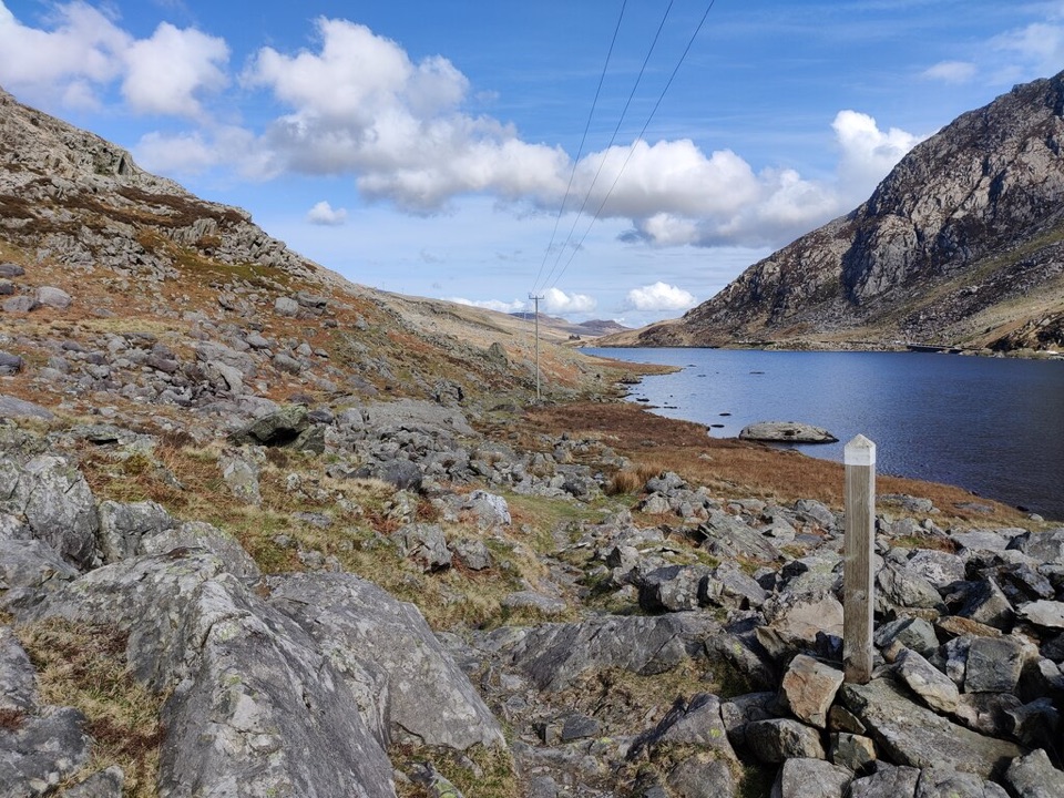 ChallengingLlwybr Llechi Eryri (Snowdonia Slate Trail)134.2 km · 2 days · At the trailheadBangor to Bethesda: 83 miles through quarries, lakes and wild moorland
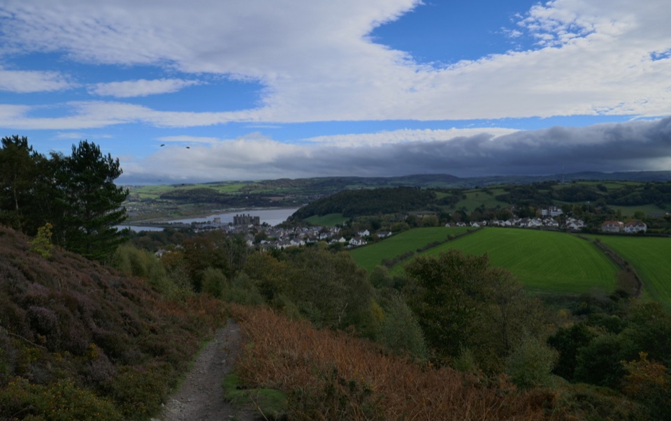 ChallengingNorth Wales Path96.6 km · 1.2 days · 2 km awayBangor to Prestatyn: heather ridges, promenades and castle-town views
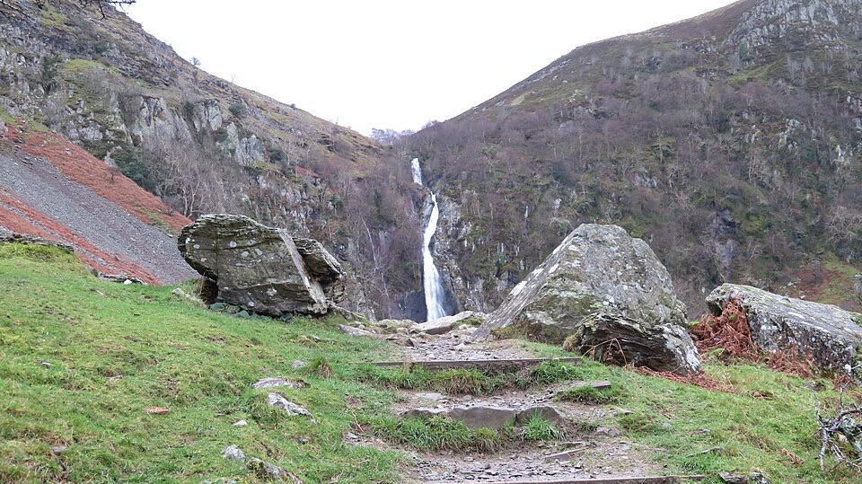 EasyRhaeadr Fawr (Aber Falls)4.5 km · 1 hr · 7 km awayA steady woodland climb to a tall waterfall pouring over steep rock
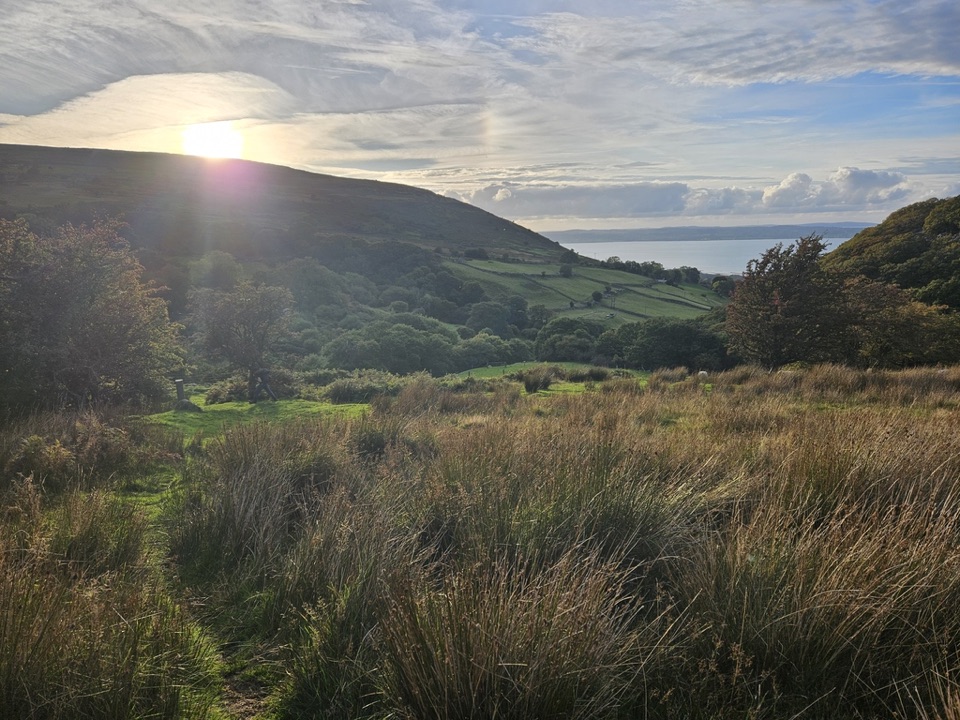 ModerateLlanfairfechan Upland Walk6.9 km · 4 hr · 10.6 km awayHeath, hut circles and a Roman Road above the North Wales coast
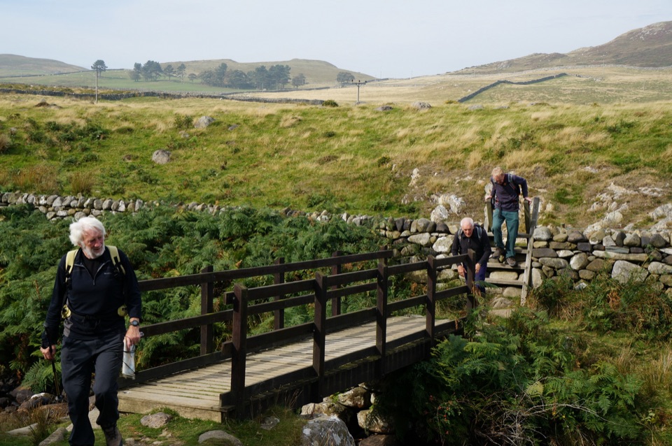 ModerateHuw Tom Upland Walk, Penmaenmawr to Rowen9.7 km · 4.5 hr · 12.8 km awayA quarryman's route over open upland from seaside terraces to Rowen
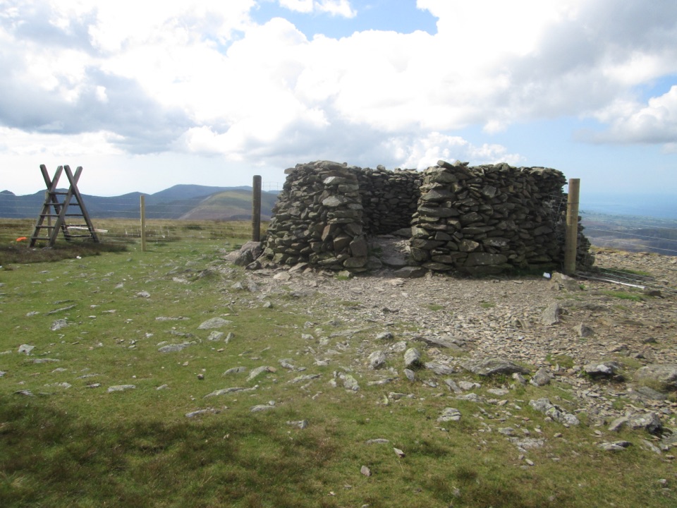 ChallengingMoel Eilio Circular from Llanberis12 km · 4.5 hr · 12.9 km awayA steep start, then a three-summit ridge high above Cwm Dwythwch
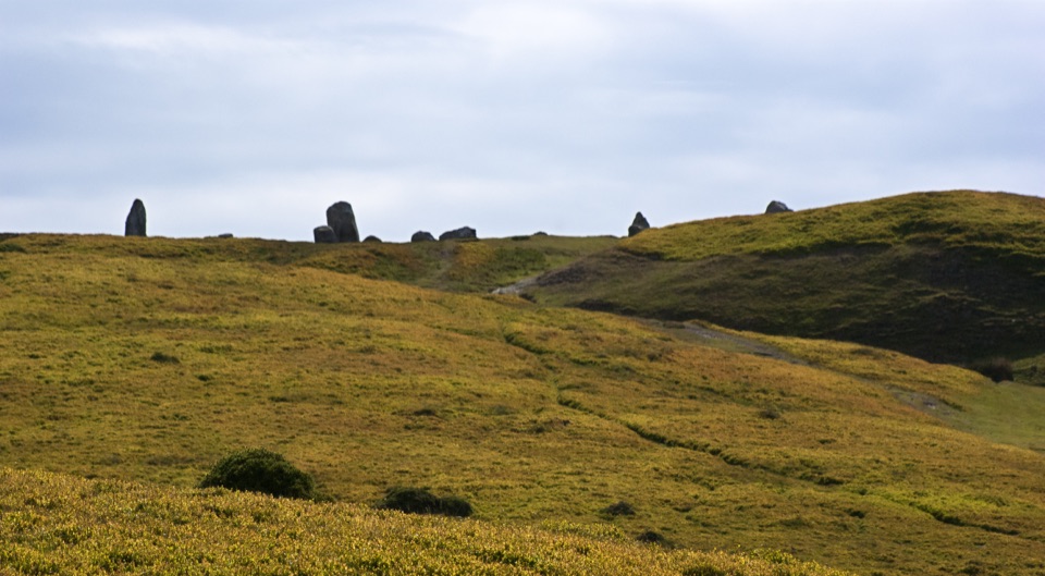 ModeratePenmaenmawr Upland Walk8.9 km · 3.5 hr · 13.1 km awaySteep 5.5-mile circuit to prehistoric stone circles with Anglesey views
 ChallengingLlanberis Path14.5 km · 7 hr · 13.2 km awayNine miles of steady, unrelenting ascent to the highest summit in Wales
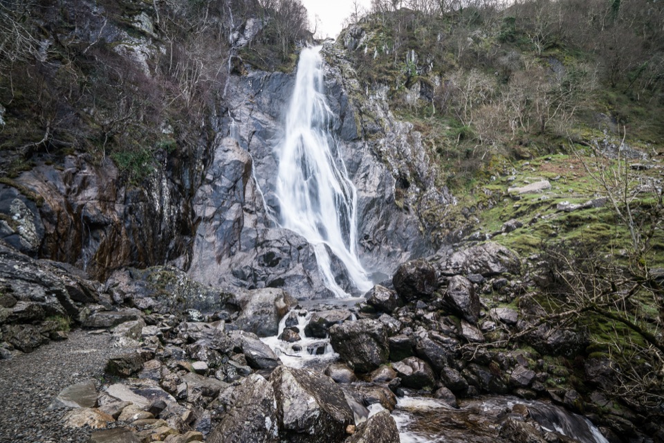 Sight · 8 km awayAber Falls (Rhaeadr Fawr)A 120-foot waterfall reached by an easy but uneven valley walk
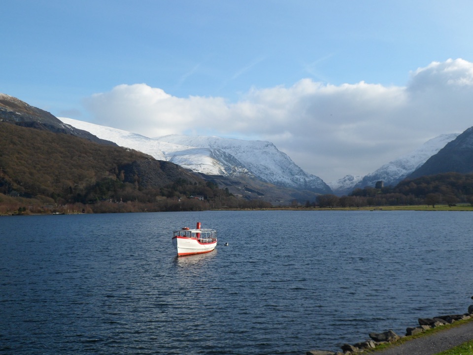 Sight · 11.5 km awayLlyn PadarnA mountain-ringed lake with slate history and wild-swimming appeal
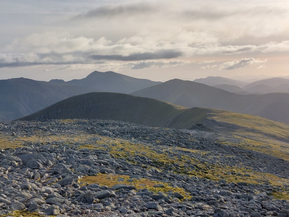 Sight · 11.8 km awayCarnedd DafyddA rugged 1,044m summit with wide Carneddau ridge views
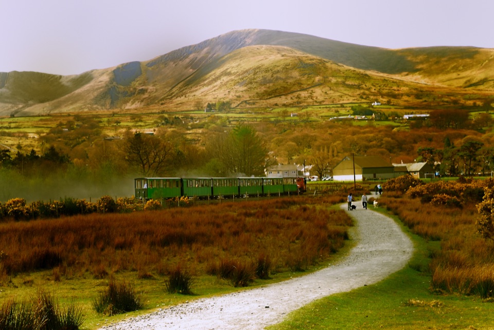 Sight · 12.1 km awayLlanberis Lake RailwayA steam ride threading Llyn Padarn, slate country, and mountain views
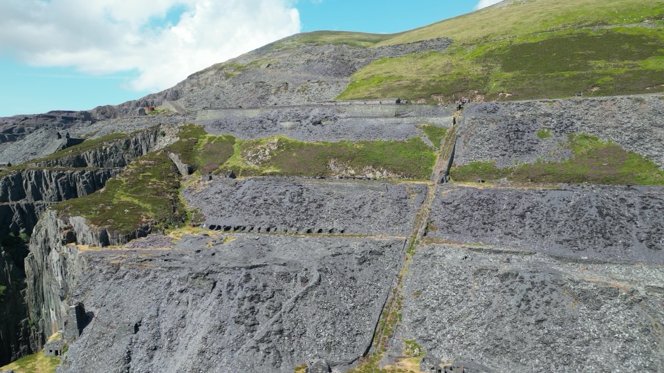 Sight · 12.2 km awayDinorwig Slate QuarryThirty galleries of abandoned slate terraces high above Llyn Padarn
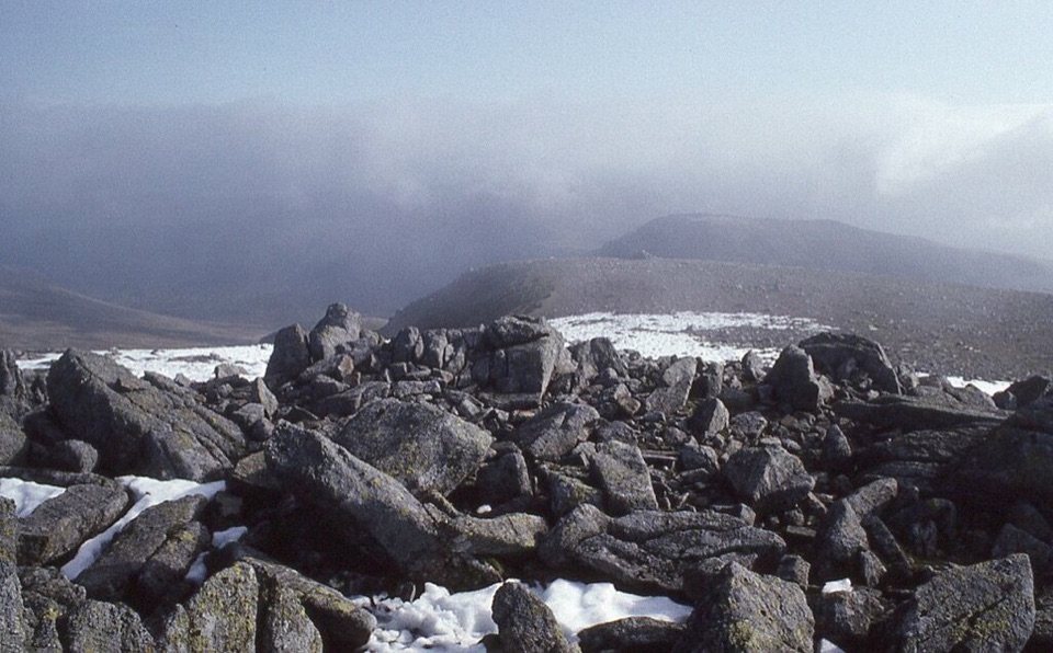 Sight · 12.2 km awayCarnedd LlewelynWindswept 1,064 m boulder plateau crowning the wild Carneddau ridges
 Sight · 12.3 km awayLlanberisA lakeside mountain base with slate heritage and two railways
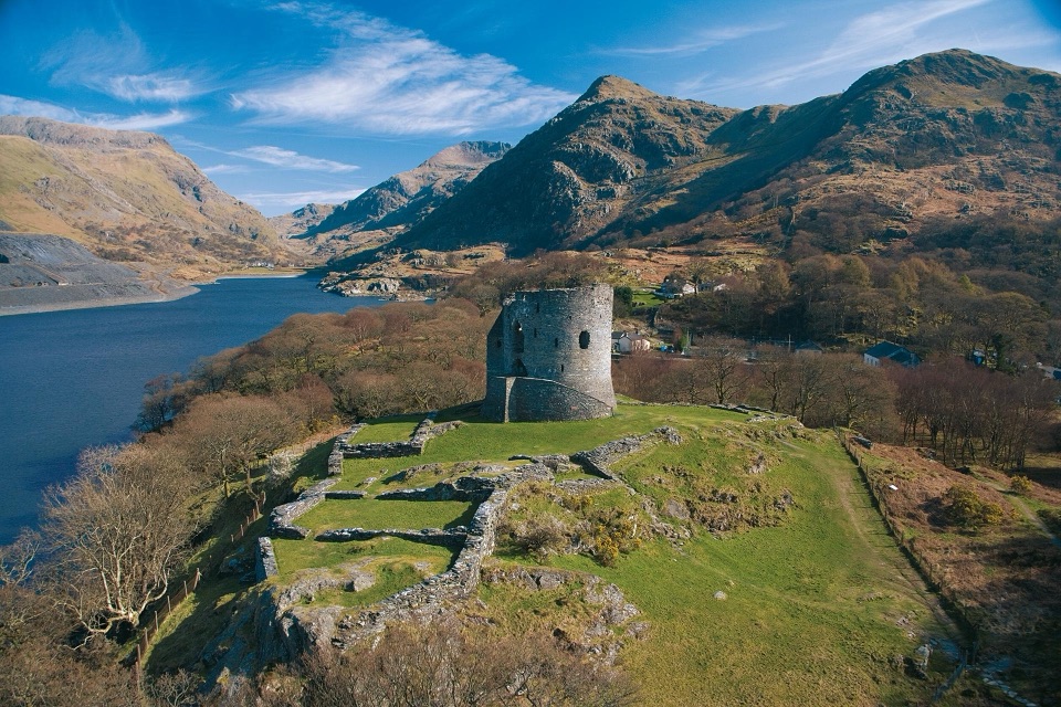 Sight · 12.8 km awayDolbadarn CastleLlywelyn's slate-walled round tower guarding the Llanberis Pass
Parkwolf’s Eryri ranking
The audio tour guide for the drive, plus offline maps, trails, and wildlife heatmaps for when the signal drops.



