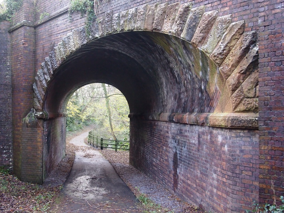
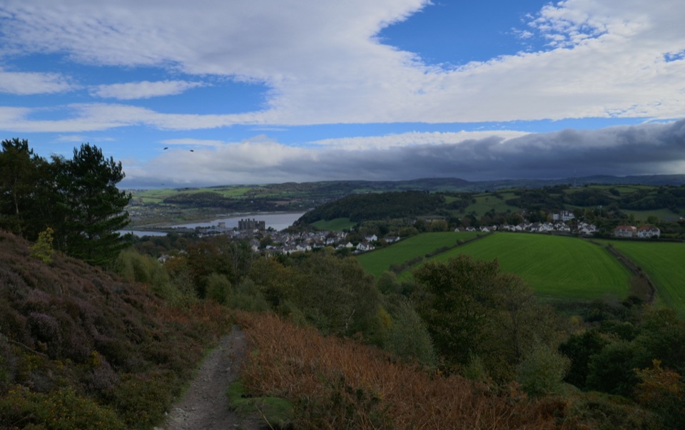
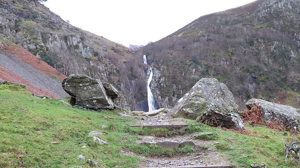
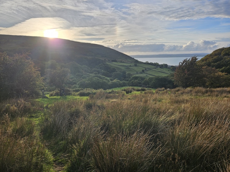
Llwybr Llechi Eryri (Snowdonia Slate Trail) in Eryri National Park

Eryri National Park, WA

Llwybr Llechi Eryri (Snowdonia Slate Trail)

Bangor to Bethesda: 83 miles through quarries, lakes and wild moorland

Photo: Wikimedia Commons
Length
134.2km
Time
2days
Elev. change
412m
Difficulty
Challenging
  • Dogs allowed
  • High point 414 m
  • #29 of 120 in Eryri
Parkwolf audio tour298 stories across Eryri’s roads

Overview

About Llwybr Llechi Eryri (Snowdonia Slate Trail)

Why go

  • Rare combination of slate heritage and wild upland scenery
  • Can be walked in sections with villages and public transport

Heads up

  • Long, logistical point-to-point route with patchy mobile coverage
  • Rough boggy ground and road walking on some sections
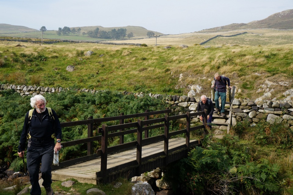
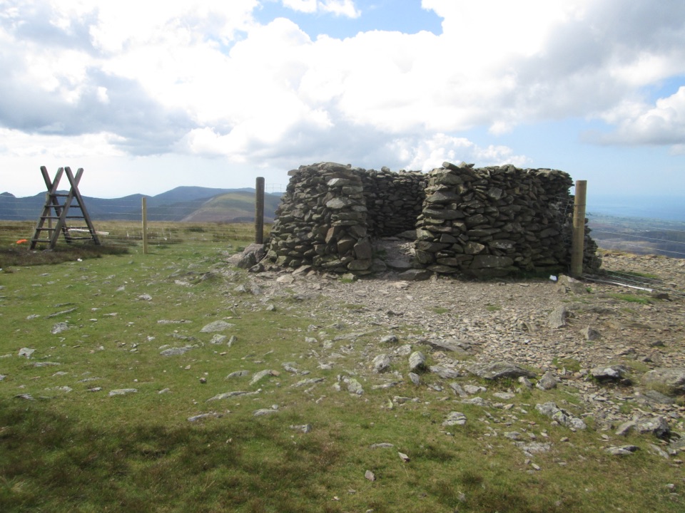
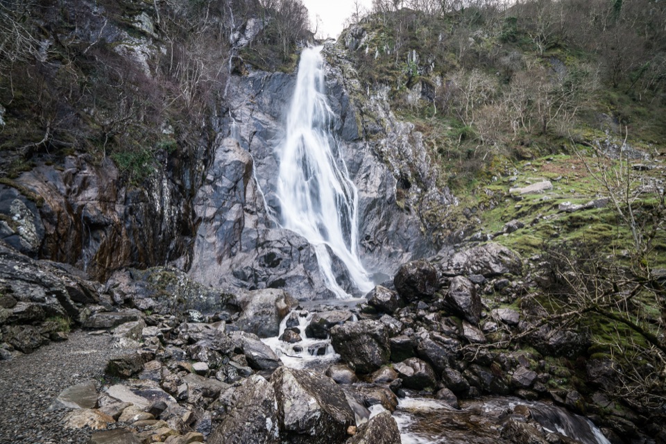
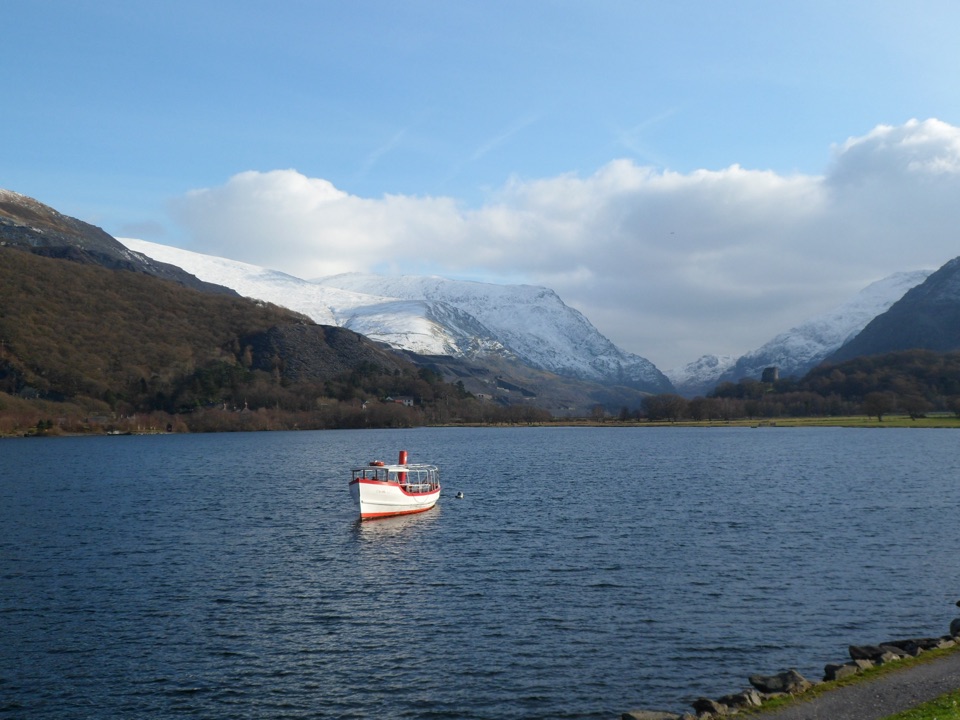
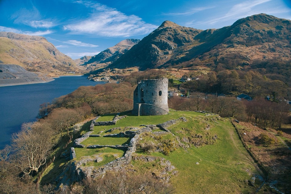
The order is Bangor to Bethesda, Bethesda to Llanberis, Llanberis to Waunfawr, Waunfawr to Nantlle, Nantlle to Rhyd Ddu, Rhyd Ddu to Beddgelert, Beddgelert to Croesor, Croesor to Tanygrisiau, Tanygrisiau to Llan Ffestiniog, Llan Ffestiniog to Penmachno, Penmachno to Betws y Coed, Betws y Coed to Capel Curig, and Capel Curig to Bethesda. What you get is a continuous journey through the slate landscape of northwest Wales, stringing together coast, quarry villages, lakes, mountain valleys, forests, old tramways and drovers' roads, and the tips themselves. Highlights along the way include Parc Padarn and the National Slate Museum after the Afon Ogwen and wild Gwaun Gynfi, slate workings under the Nantlle Ridge, a stretch of the North Wales Pilgrims' Way into Beddgelert, Croesor Quarry and remote Rhosydd Quarry with the descent past Cwmorthin Lake and its abandoned settlement, Blaenau Ffestiniog with Cwm Bowydd and Cwm Teigl, the Cwm Cynfal gorge and Migneint moors, Roman Bridge and Fairy Glen, Swallow Falls and Gwydir Forest, and a final virtually level walk through the Nant Ffrancon valley before the minor road and Lon Las Ogwen cycleway curl around the blue tips of Penrhyn Quarry.
Parkwolf’s verdictThe sequence and the payoff

Map & elevation

The route

Loading the Eryri map
Full map
Elevation2–414 m
TrailheadBangor Beach Road trailhead53.23182, -4.11071
Keep this map with you offline in the Parkwolf app

Plan your hike

Before you go

Parking

Start at the Bangor Beach Road public car park, a short walk from the trailhead. It is free, but no overnight parking is allowed and parking at the trail itself is private. For this point-to-point walk, arrange return transport from Bethesda.

Best time to go

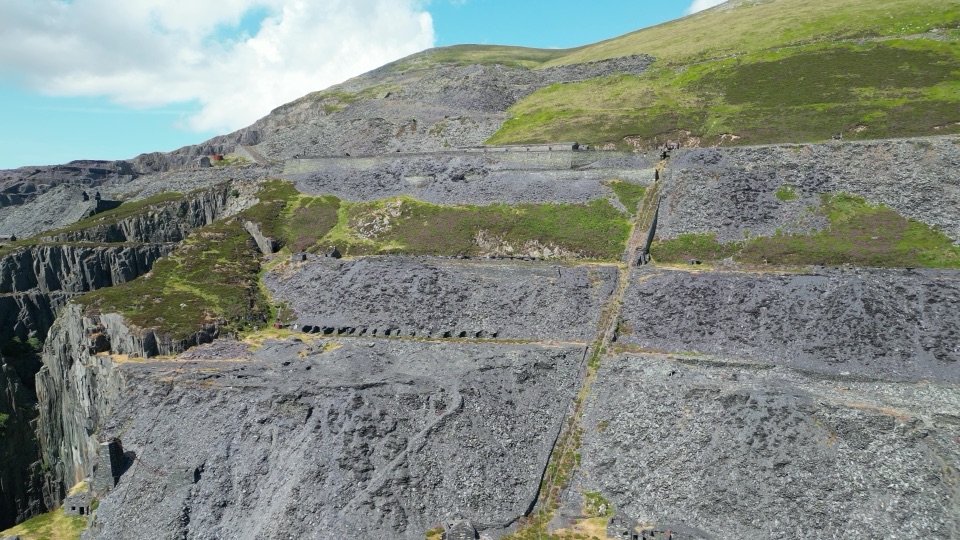
Late spring through early autumn gives the longest daylight, which is what a seven day itinerary really depends on. Winter and after prolonged rain turn the Migneint and the Nantlle to Rhyd Ddu bog into hard work, and short days make the long sections uncomfortable. For pictures, early morning and late afternoon light rakes across the slate tips and quarry terraces and separates the tiers of tips from the hillside; the coastal start at Bangor and the finish around Penrhyn Quarry both reward soft low light, and overcast days actually suit the blue-grey slate and the abandoned buildings at Cwmorthin.

Safety

Remote sections cross rough, boggy moorland and pass disused quarry workings and minor roads. Route-finding is important in the Migneint and around Rhosydd Quarry, and mobile coverage is patchy. Stay on the signed route because parts use permissive paths beside privately owned land.

A park ranger sits on a dash-mounted phone, talking, as Parkwolf’s Tour Guide plays “Army Cutworm Moths: A Grizzly Bear Buffet” on Grand Loop Road below Dunraven Pass in Yellowstone
Parkwolf Tour GuideThe highest, rockiest slopes around here are a summer buffet for grizzly bears.

Eryri Tour Guide

Your drive to Llwybr Llechi Eryri (Snowdonia Slate Trail), narrated.

Parkwolf is a GPS audio tour guide for Eryri National Park. As you drive, it chimes in with what’s ahead: hidden gems, upcoming stops, history, geology, and wildlife, right through your car’s speakers.

More stories near here in the app

  • The Quarry Doctor Who Won the Cup
  • The Cards in Bethesda's Windows
  • 298 audio storiesacross Eryri’s roads, triggered by GPS as you drive
  • Wildlife heatmapsfor Grey Heron, Tawny Owl, Common Raven, and 9 more
  • Works offlinemaps, 120 trails, 82 places, and audio download before you lose signal
  • CarPlay readysimple controls built for the drive
★★★★★
“Fantastic app with many points of information… It’s great to just turn on while you’re driving and it gives you an audio tour of the national Park. We love it!!!!”
JMJamesApp Store review
Download Parkwolf on the App StoreGet Parkwolf on Google Play

4.7 from 8,600+ ratings

Trail guide

Hiking Llwybr Llechi Eryri (Snowdonia Slate Trail)

Route and distanceThis is a point to point walk, not a loop: it runs from Bangor on the coast to Bethesda, and…

This is a point to point walk, not a loop: it runs from Bangor on the coast to Bethesda, and the official total is 83.4 miles (about 134 km) split into 13 manager-defined sections. The complete route is described as a seven day walk, which works out at roughly 48 hours of moving time, so plan slower days for the longest and roughest stages plus time for stops and transport. Because it ends in Bethesda rather than back at Bangor, you need to arrange your own return travel.

Difficulty and footingThe first day out of Bangor is easy and slate-focused, a gentle way to start.

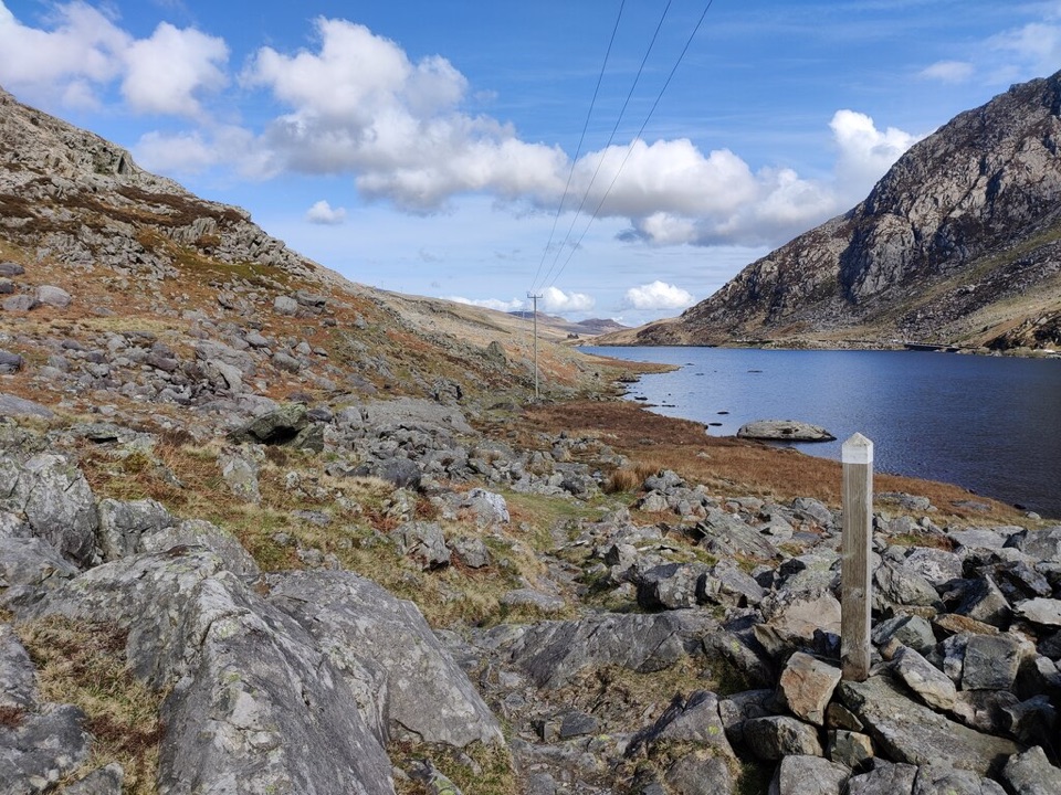
The first day out of Bangor is easy and slate-focused, a gentle way to start. After that the mix is lanes, forest and forestry tracks, riverside paths, minor roads, steep climbs and rough open moorland. Nantlle to Rhyd Ddu has a very boggy stretch, and Llan Ffestiniog to Penmachno is the toughest section, with the gorge, wild and sometimes boggy Migneint, quarry workings and real route-finding. Croesor to Tanygrisiau also needs careful navigation to reach Rhosydd. Expect wet feet in places, carry a map and compass and know how to use them, and be honest with yourself about the roughest days rather than trying to compress them.

Hazards, land and dogsThe trail uses public rights of way or permissive paths, crosses rough and remote ground,…

The trail uses public rights of way or permissive paths, crosses rough and remote ground, passes right next to disused quarry workings, and includes sections of minor road where you share space with traffic. Some of the surrounding land is privately owned with no general public access, so stay on the signed route. Mobile coverage is patchy, which matters most on the moorland and quarry sections. Dogs are welcome under park guidance on public footpaths and open access land, but they must be under close control, on a short lead near livestock and wildlife, and on a lead of no more than 2 m on open access land from 1 March to 31 July. Private and permissive stretches will not all follow identical rules, so read signs as you go and assume stricter is safer.

Access, parking and suppliesThe stored trailhead is the Bangor Beach Road trailhead, near 53.231821, -4.110714.

The stored trailhead is the Bangor Beach Road trailhead, near 53.231821, -4.110714. The Beach Road public car park sits a short way from the start and is free, but no overnight parking is allowed, and parking at the trail itself is private, so a multi-day walker is better off leaving the car at home and using public transport. Transport, accommodation and refreshments all need booking and planning in advance rather than improvising. There are no shops between Llanberis and Beddgelert, so carry food and water for that stretch. Conwy Falls Cafe sits on the Penmachno to Betws y Coed section, and the larger villages give you the best chance of resupply.

A shorter optionIf you only have half a day and want the slate story without the logistics, the 5.

If you only have half a day and want the slate story without the logistics, the 5.5 km Croesor Circular is the better fit. Choose this trail when you actually want the multi-day crossing, coast to quarry town, with all the planning that involves.

Wildlife

Wildlife in Eryri

All Eryri wildlife maps

Sighting maps show where each species has been reported across Eryri. Wildlife moves, so no sighting is guaranteed.

Keep exploring

Near Llwybr Llechi Eryri (Snowdonia Slate Trail)

See it all on the map

Trails that start nearby

Places near the trailhead

Parkwolf’s Eryri ranking

Top-rated trails in Eryri

All 120 trails
  1. 1Yr Wyddfa Pyg Track and Miners’ Track LoopChallenging · 12.1 km
  2. 2Llanberis PathChallenging · 14.5 km
  3. 3Pyg TrackChallenging · 11 km
  4. 4Miners’ TrackChallenging · 12.9 km
  5. 5Cwm Idwal WalkModerate · 4.8 km
  6. 6Watkin PathChallenging · 12.9 km

Take Parkwolf to Eryri.

The audio tour guide for the drive, plus offline maps, trails, and wildlife heatmaps for when the signal drops.

4.7 from 8,600+ ratings

Download Parkwolf on the App StoreGet Parkwolf on Google Play