Parking
Start near Bangor at grid reference SH592726. There is no single trailhead car park for the full route. Plan local access, overnight stops and transport from Prestatyn, using designated car parks along the corridor for day sections.
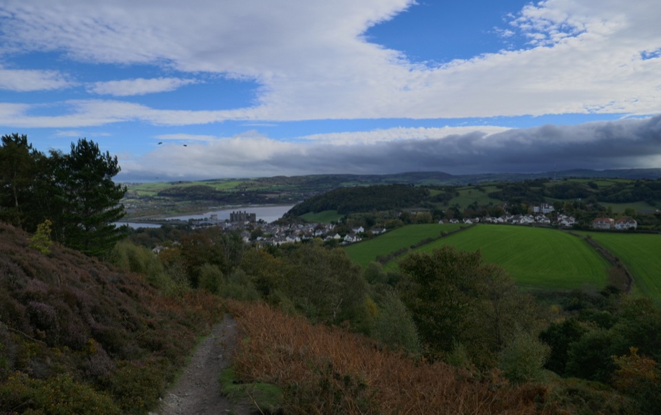
Eryri National Park, WA
Bangor to Prestatyn: heather ridges, promenades and castle-town views
Overview
A linear, point-to-point long-distance walk from Bangor in Gwynedd east to Prestatyn in Denbighshire, 60 miles / 96 km one way. Most walkers take 25 to 30 walking hours spread over 4 to 6 days, with cumulative ascent in the region of 2,384 m. Treat that climb figure as a planning scale rather than a precise number. Only part of the corridor sits inside the park boundary, so the character shifts as you go.
Map & elevation
Plan your hike

The highest, rockiest slopes around here are a summer buffet for grizzly bears.
Eryri Tour Guide
Parkwolf is a GPS audio tour guide for Eryri National Park. As you drive, it chimes in with what’s ahead: hidden gems, upcoming stops, history, geology, and wildlife, right through your car’s speakers.
More stories near here in the app
“Fantastic app with many points of information… It’s great to just turn on while you’re driving and it gives you an audio tour of the national Park. We love it!!!!”


Trail guide
From the start at Bangor (grid reference SH592726) the path climbs onto the lower mountain slopes behind the coast, passing near Aber Falls and over the higher ground of Garreg Fawr and Moelfre. It crosses Conwy Mountain with the estuary spread out below, drops into Conwy with its castle and walls, then works round Llandudno and the Great Orme before easing into the seaside stretch through Colwyn Bay, Abergele and Rhyl. The payoff at Prestatyn is a clean junction with Offa's Dyke Path, so this can be the first half of a much longer journey.
The complete route rates 7/10. Individual days range from easy to strenuous. Surfaces vary a lot: quiet lanes and short road sections, flat surfaced promenades, rural field paths, and narrow, uneven upland tracks through heather and grass. High points sit only around 300 to 340 m, but the western uplands are open and unsheltered, and wind or low cloud makes navigation harder there. Do not expect a uniform, easy or fully accessible surface for the whole distance, though several coastal sections on their own are gentle and level.
Because the route is linear, plan the return before you set out and book accommodation along the way. There is no single official trailhead car park; instead, car parks are dotted along the corridor, which makes it easy to break the walk into day sections and shuttle between them. Towns and villages en route have shops and pubs for refreshments. If you walk on a road, keep to the right in single file.
The Wales Coast Path shares this corridor in many places. If you want a consistently shoreline itinerary with easier walking, take that instead. This route deliberately leaves the coast to climb inland above Llanddulas and onto the uplands around Conwy and Llanfairfechan toward Bangor, trading some easy miles for height, quiet and a much wider view.
Wildlife
 77 sightingsGrey HeronMost seen around 7 AMSighting map
 17 sightingsTawny OwlMost seen around 6 AMSighting map
 32 sightingsCommon RavenMost seen around 8 AMSighting map
 21 sightingsGreat Spotted WoodpeckerMost seen around 7 AMSighting map
 18 sightingsEuropean RabbitMost seen around 7 AMSighting map
 161 sightingsViviparous LizardMost seen around 10 AMSighting map
Sighting maps show where each species has been reported across Eryri. Wildlife moves, so no sighting is guaranteed.
Keep exploring
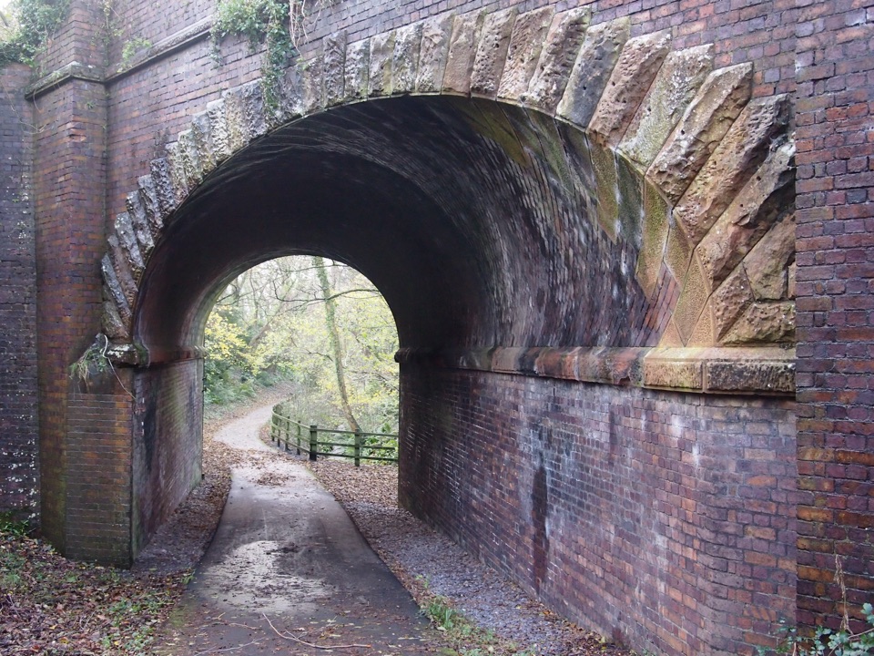 ModerateLôn Las Ogwen17.7 km · 5.3 hr · 2 km awaySlate railway path from tidal quay to the mountains above Nant Ffrancon
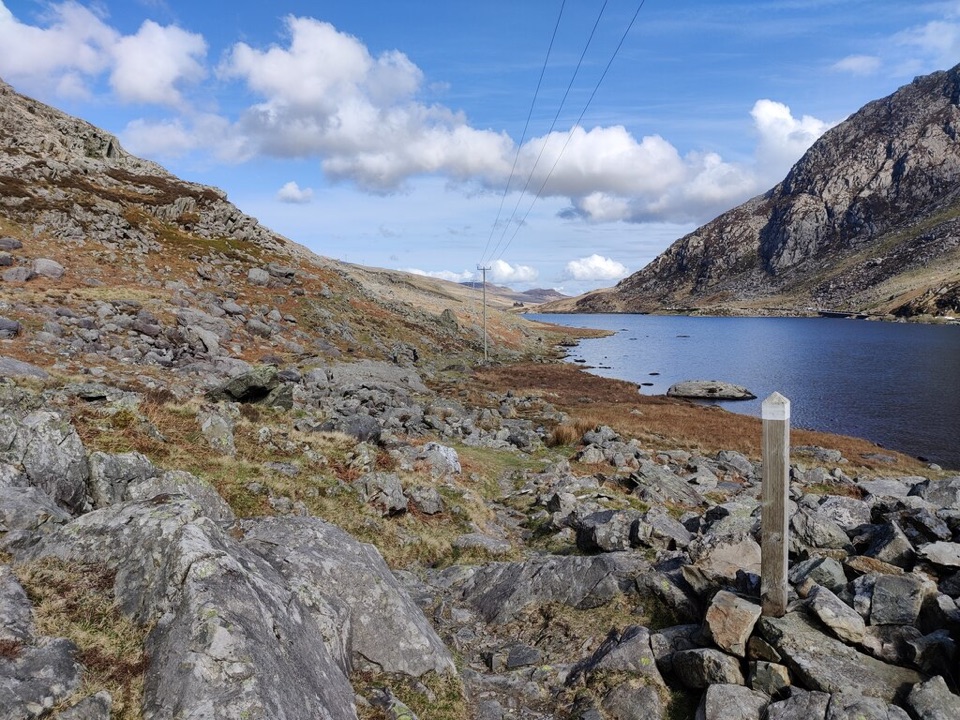 ChallengingLlwybr Llechi Eryri (Snowdonia Slate Trail)134.2 km · 2 days · 2.1 km awayBangor to Bethesda: 83 miles through quarries, lakes and wild moorland
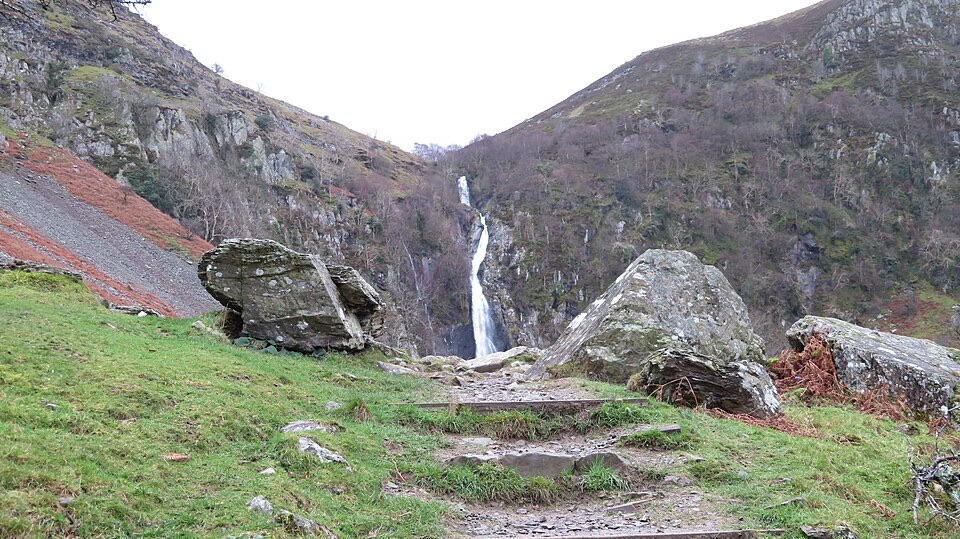 EasyRhaeadr Fawr (Aber Falls)4.5 km · 1 hr · 6 km awayA steady woodland climb to a tall waterfall pouring over steep rock
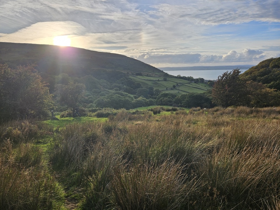 ModerateLlanfairfechan Upland Walk6.9 km · 4 hr · 9.8 km awayHeath, hut circles and a Roman Road above the North Wales coast
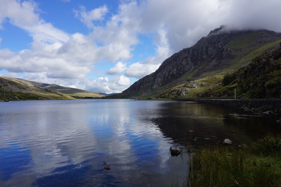 ModerateLlyn Ogwen Circular Walk4.7 km · 1.5 hr · 11.4 km awayBoulder-hopping lakeshore loop under Tryfan, back on the roadside pavement
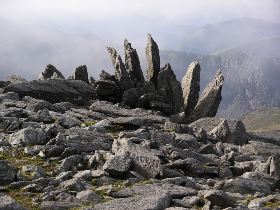 ChallengingGlyder Fawr and Y Garn via Devil’s Kitchen8.9 km · 5 hr · 11.4 km awayGlacial lake, dark cliffs, two 900m summits on one hard rocky loop
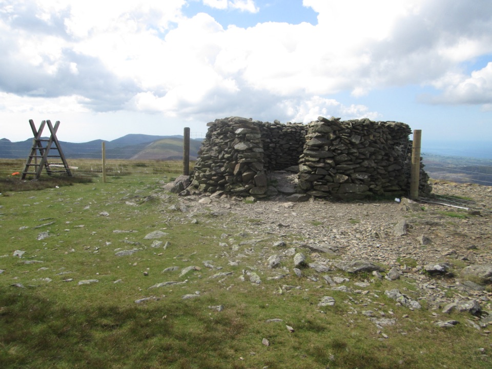 ChallengingMoel Eilio Circular from Llanberis12 km · 4.5 hr · 11.4 km awayA steep start, then a three-summit ridge high above Cwm Dwythwch
 ModerateCwm Idwal Walk4.8 km · 3 hr · 11.5 km awayGlacier-carved bowl, stone lakeside path and the Devil's Kitchen headwall
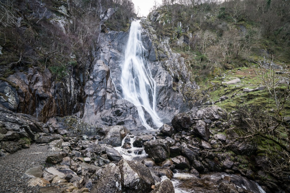 Sight · 6.6 km awayAber Falls (Rhaeadr Fawr)A 120-foot waterfall reached by an easy but uneven valley walk
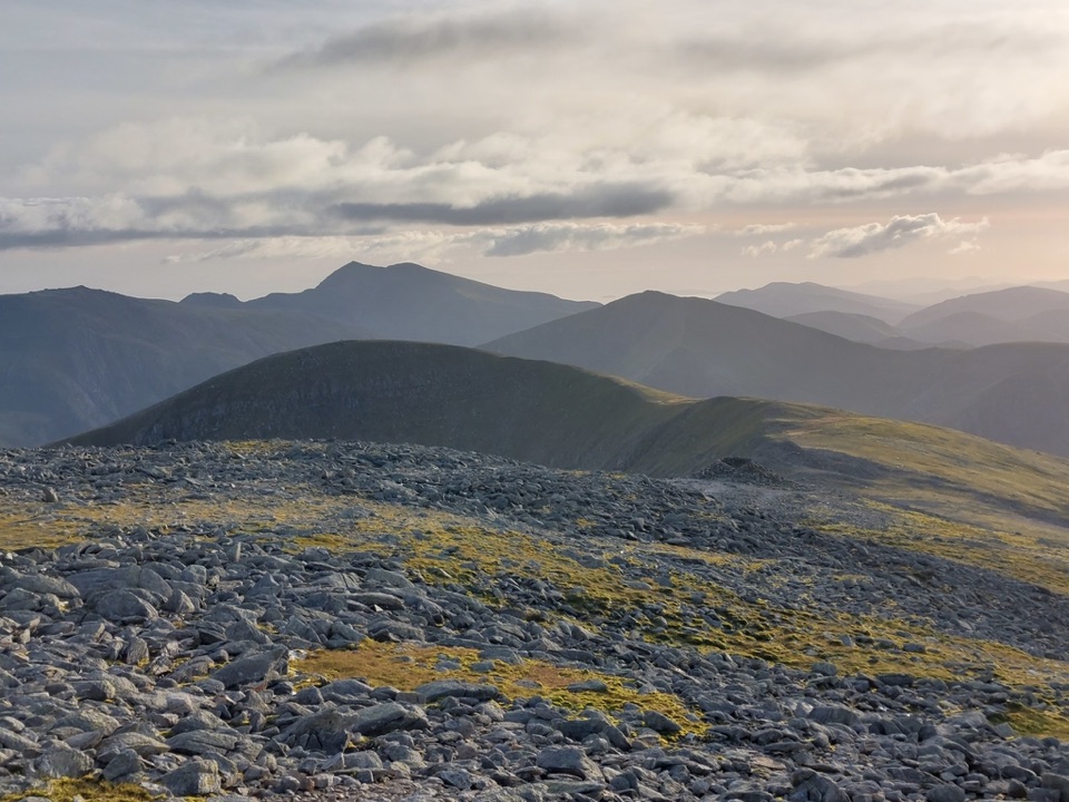 Sight · 9.8 km awayCarnedd DafyddA rugged 1,044m summit with wide Carneddau ridge views
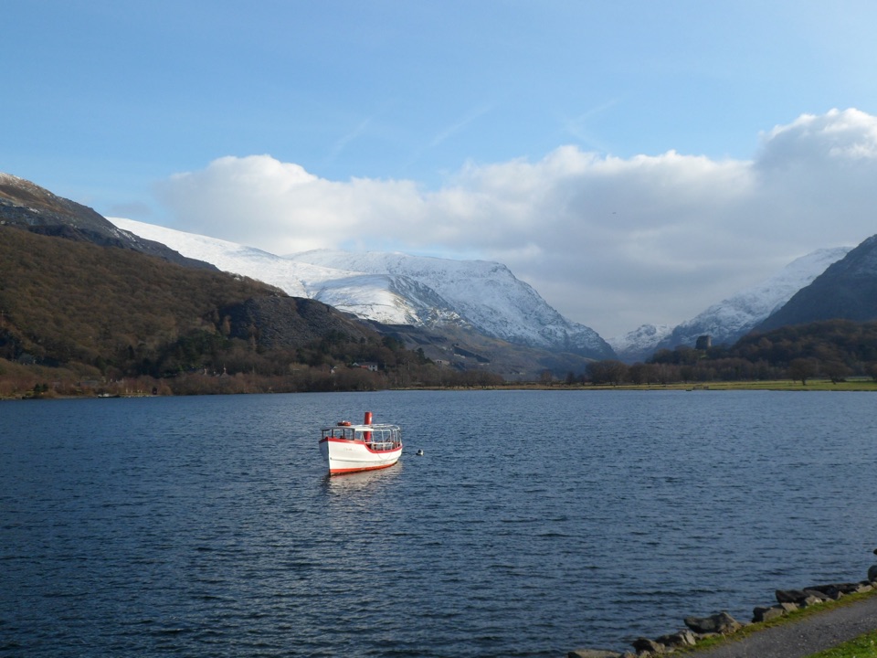 Sight · 10.1 km awayLlyn PadarnA mountain-ringed lake with slate history and wild-swimming appeal
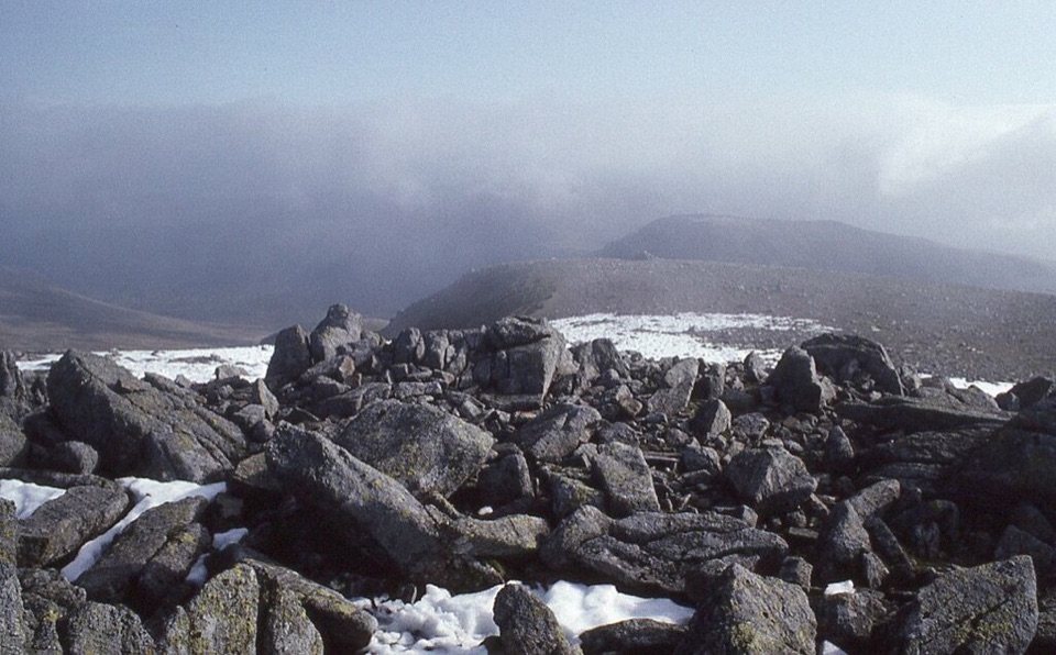 Sight · 10.3 km awayCarnedd LlewelynWindswept 1,064 m boulder plateau crowning the wild Carneddau ridges
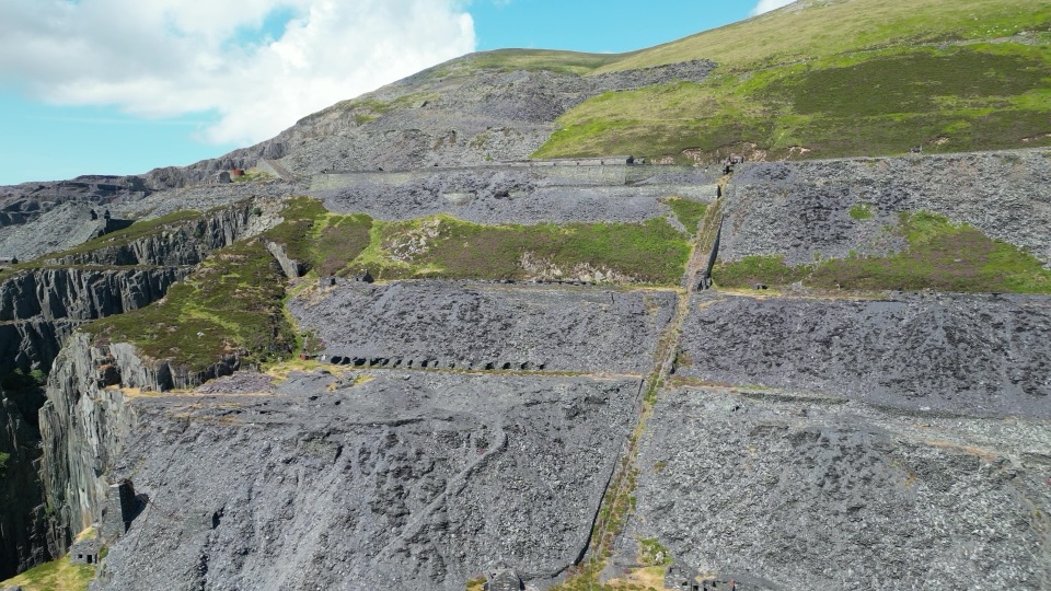 Sight · 10.5 km awayDinorwig Slate QuarryThirty galleries of abandoned slate terraces high above Llyn Padarn
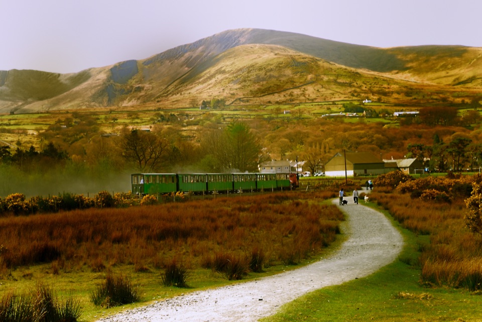 Sight · 10.5 km awayLlanberis Lake RailwayA steam ride threading Llyn Padarn, slate country, and mountain views
 Sight · 10.8 km awayLlanberisA lakeside mountain base with slate heritage and two railways
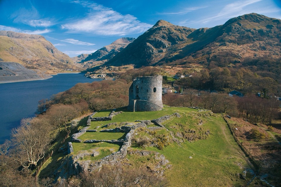 Sight · 11.2 km awayDolbadarn CastleLlywelyn's slate-walled round tower guarding the Llanberis Pass
Parkwolf’s Eryri ranking

The audio tour guide for the drive, plus offline maps, trails, and wildlife heatmaps for when the signal drops.



