Parking
Three Streams Car Park at grid reference SH 698 736. Use designated parking only and keep field gateways and residential entrances clear.
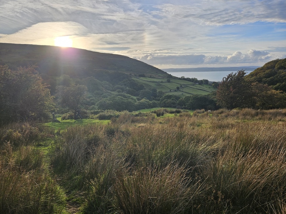
Eryri National Park, WA
Heath, hut circles and a Roman Road above the North Wales coast
Overview
There is no through access on the Nant y Coed Nature Reserve section between the Newry Drive entrance and Three Streams, and the stepping stones there are closed. If you are approaching that way, turn right at Newry Drive, continue along Valley Road, cross the bridge marked with the National Park logo, then follow the road around and uphill to Three Streams.
 Parkwolf’s verdictRoute-access note worth planning around
Map & elevation
Plan your hike

The highest, rockiest slopes around here are a summer buffet for grizzly bears.
Eryri Tour Guide
Parkwolf is a GPS audio tour guide for Eryri National Park. As you drive, it chimes in with what’s ahead: hidden gems, upcoming stops, history, geology, and wildlife, right through your car’s speakers.
More stories near here in the app
“Fantastic app with many points of information… It’s great to just turn on while you’re driving and it gives you an audio tour of the national Park. We love it!!!!”


Trail guide
A 7 km / 4.3 mile circular route taking about 4 hours, rated moderate. It climbs from the top edge of Llanfairfechan through heath and moorland to the foot of the Carneddau, then loops back on old tracks and lanes. This is an upland walk rather than a summit day: the high point of the route is around 392 m, with the car park near 195 m.
Leave Three Streams Car Park on the public footpath, cross a stream and climb through fields by kissing gates and farm tracks. After a second watercourse crossing you head toward the pylons and join the Roman Road, following it back toward the coast. At the Meeting of the Tracks, turn for Llanfairfechan and follow North Wales Path waymarkers around the lower slopes of Garreg Fawr, passing an ancient hut circle before dropping through fields and finishing on a short stretch of road to the car park.
The open ground gives long views over the Carneddau, the Menai Strait and the North Wales coast. Just as interesting is the human record underfoot: a hut circle, field boundaries and the historic track known here as the Roman Road. It is a worked landscape that still feels wild, which is the main reason to choose this route over a valley stroll.
Moderate is fair. Expect moorland paths, unsurfaced tracks and lanes, uneven ground, several gates and some steep pulls. Route-finding is straightforward if you follow the waymarkers, but sections cross open country where the path can be faint and the weather has nothing to break it.
Start and finish at Three Streams Car Park, grid reference SH 698 736, near the upper edge of the village. Use the designated parking only, and do not block field gateways or residential entrances.
Dogs should be kept under close control throughout, as the route passes through farmland and open grazing.
Walking boots and waterproof layers are the right call, along with a map or route card and the assumption that cloud can arrive quickly on the higher ground. If you want something gentler, a shorter riverside walk in Nant y Coed covers easier ground nearby.
Wildlife
 77 sightingsGrey HeronMost seen around 7 AMSighting map
 17 sightingsTawny OwlMost seen around 6 AMSighting map
 32 sightingsCommon RavenMost seen around 8 AMSighting map
 21 sightingsGreat Spotted WoodpeckerMost seen around 7 AMSighting map
 18 sightingsEuropean RabbitMost seen around 7 AMSighting map
 161 sightingsViviparous LizardMost seen around 10 AMSighting map
Sighting maps show where each species has been reported across Eryri. Wildlife moves, so no sighting is guaranteed.
Keep exploring
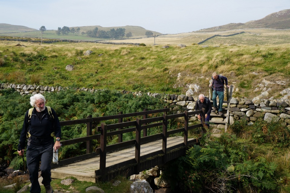 ModerateHuw Tom Upland Walk, Penmaenmawr to Rowen9.7 km · 4.5 hr · 3.2 km awayA quarryman's route over open upland from seaside terraces to Rowen
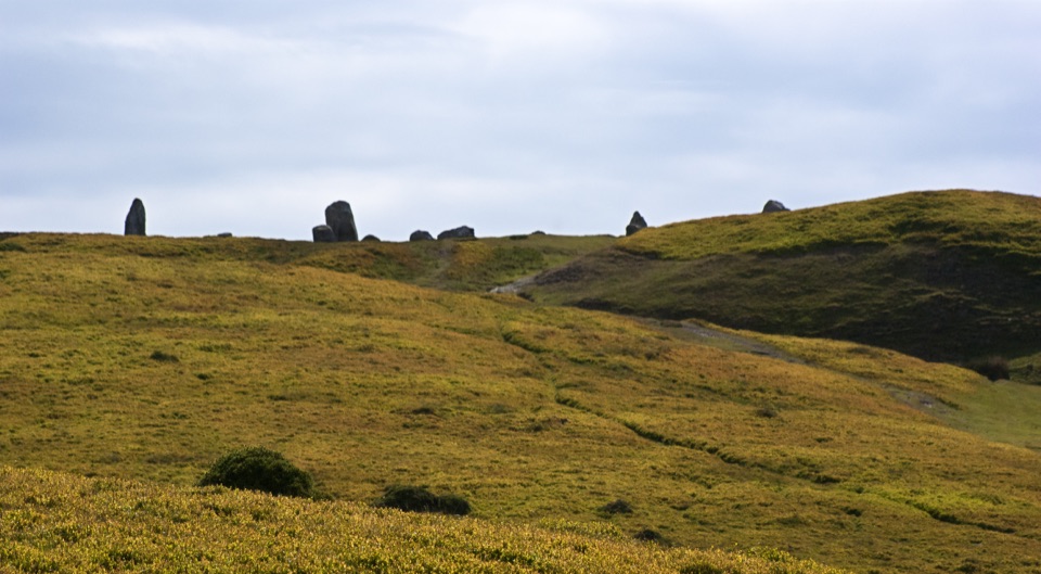 ModeratePenmaenmawr Upland Walk8.9 km · 3.5 hr · 3.4 km awaySteep 5.5-mile circuit to prehistoric stone circles with Anglesey views
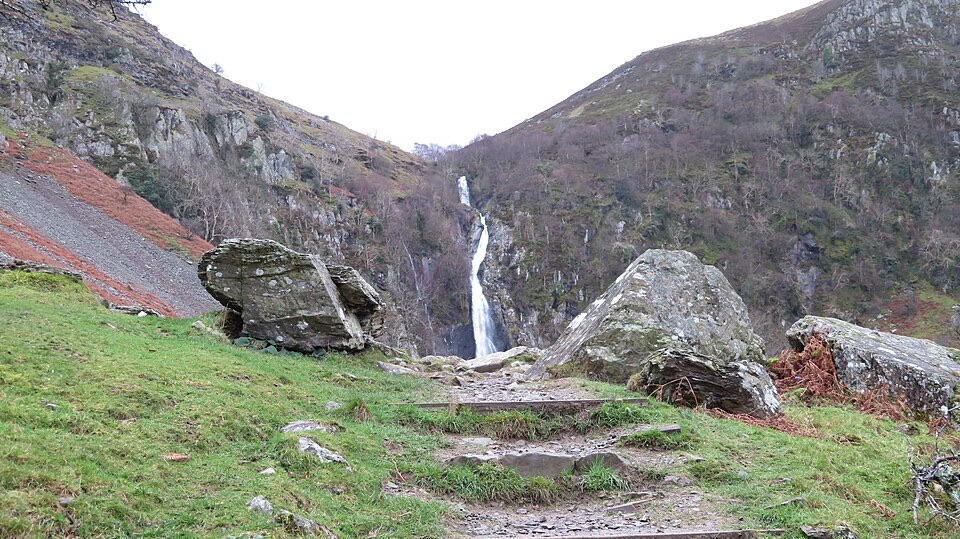 EasyRhaeadr Fawr (Aber Falls)4.5 km · 1 hr · 3.9 km awayA steady woodland climb to a tall waterfall pouring over steep rock
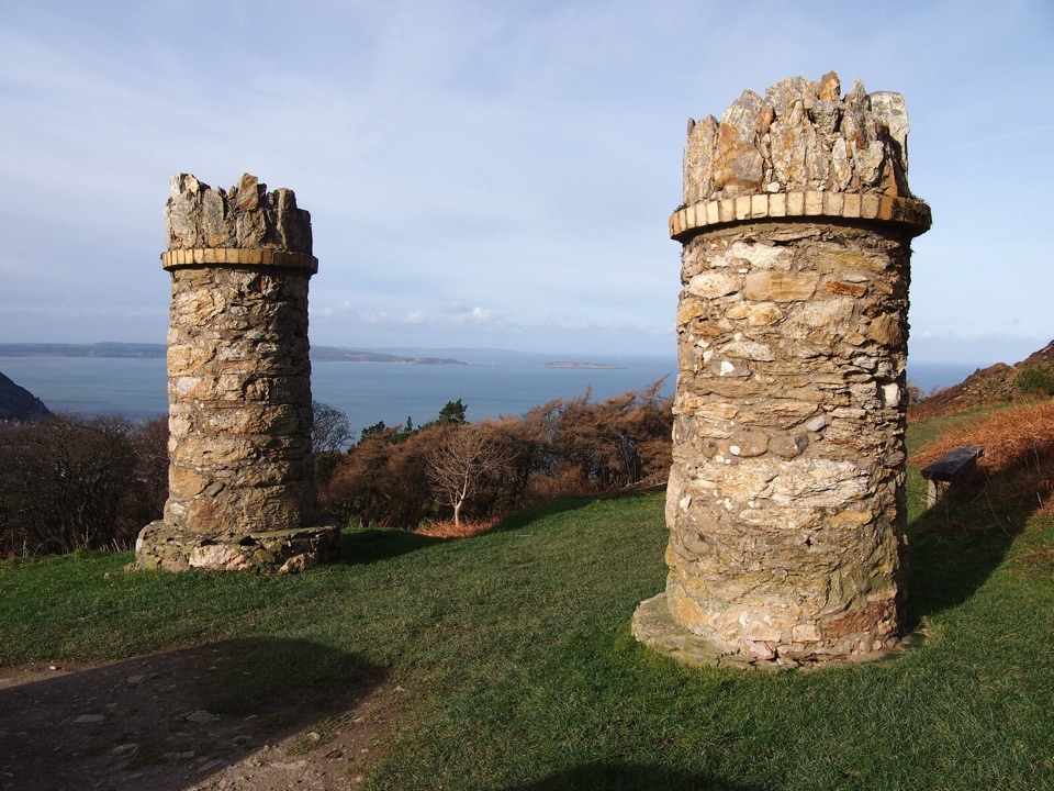 EasyJubilee Path2.4 km · 1 hr · 4 km awayGentle 1888 loop around Foel Lus with heather and wide coastal views
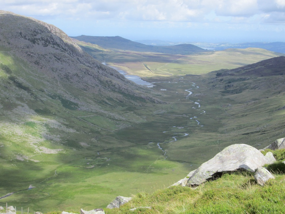 ChallengingCwm Eigiau Horseshoe17.1 km · 8 hr · 8 km awayThree big Carneddau summits, a short scramble and a wild reservoir return
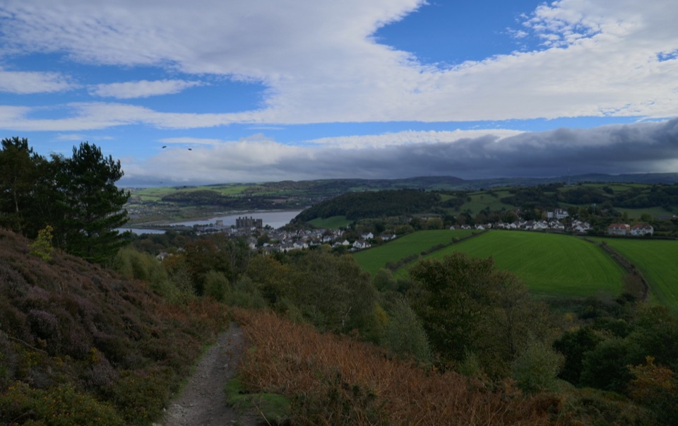 ChallengingNorth Wales Path96.6 km · 1.2 days · 9.8 km awayBangor to Prestatyn: heather ridges, promenades and castle-town views
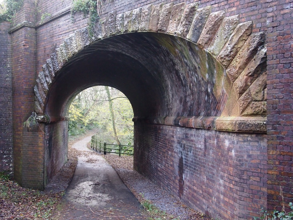 ModerateLôn Las Ogwen17.7 km · 5.3 hr · 10.6 km awaySlate railway path from tidal quay to the mountains above Nant Ffrancon
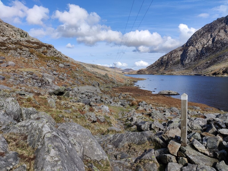 ChallengingLlwybr Llechi Eryri (Snowdonia Slate Trail)134.2 km · 2 days · 10.6 km awayBangor to Bethesda: 83 miles through quarries, lakes and wild moorland
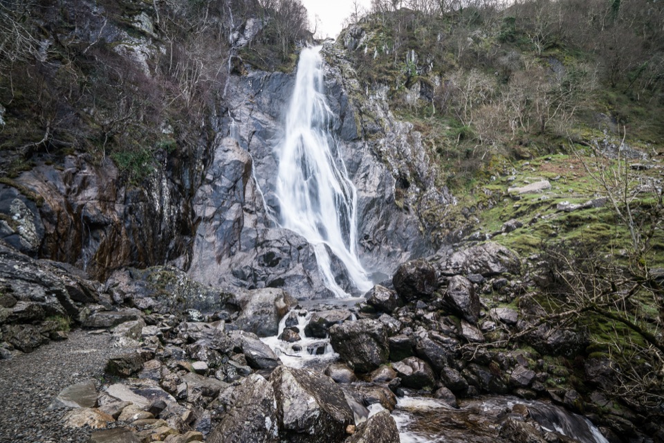 Sight · 4.6 km awayAber Falls (Rhaeadr Fawr)A 120-foot waterfall reached by an easy but uneven valley walk
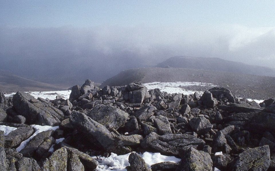 Sight · 9.3 km awayCarnedd LlewelynWindswept 1,064 m boulder plateau crowning the wild Carneddau ridges
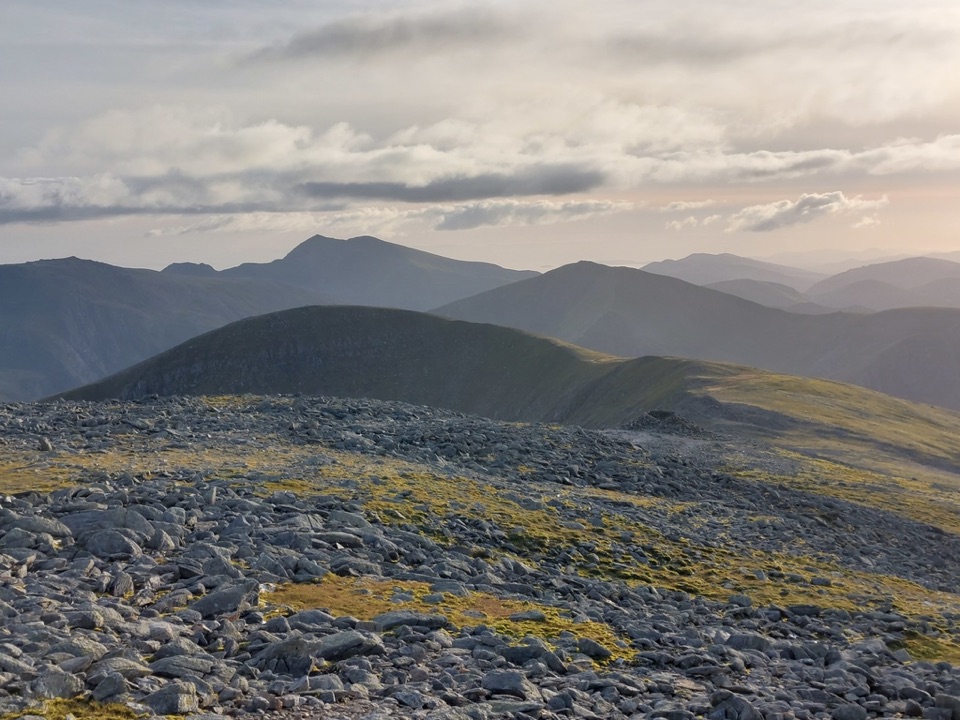 Sight · 11.1 km awayCarnedd DafyddA rugged 1,044m summit with wide Carneddau ridge views
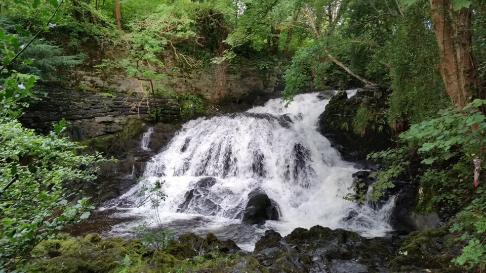 Sight · 13.3 km awayFairy Falls (Rhaeadr y Tylwyth Teg)Twenty-five feet of white water, ten minutes from the car park
 Sight · 13.4 km awayTrefriw Woollen MillsA living Welsh weaving mill where the looms still earn their keep
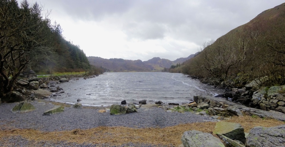 Sight · 13.6 km awayLlyn CrafnantA forest-ringed reservoir with easy lake walks and mountain reflections
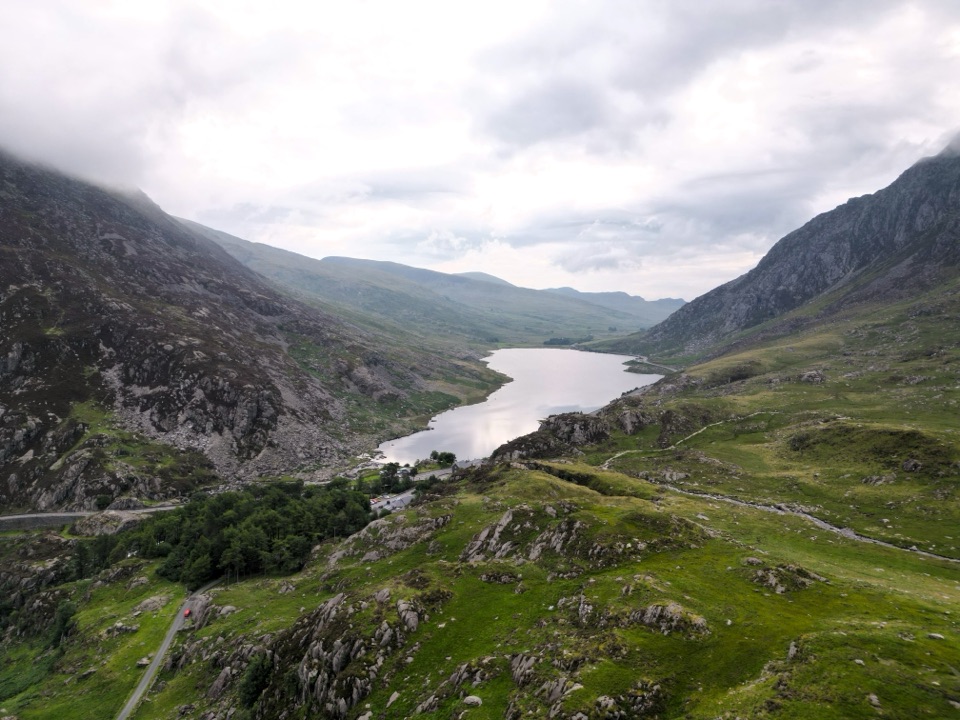 Sight · 13.7 km awayLlyn OgwenShallow ribbon lake mirroring the Glyderau, with Arthurian sword folklore
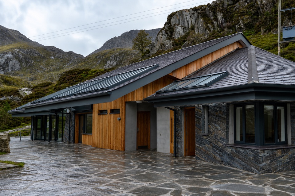 Visitor center · 14.1 km awayCwm Idwal CentreCoffee, showers and a doorway into a glacier-carved cwm
Parkwolf’s Eryri ranking
The audio tour guide for the drive, plus offline maps, trails, and wildlife heatmaps for when the signal drops.




