Parking
Start at the private car park near Cors y Gedol Hall (SH 602231). Use designated parking areas only.
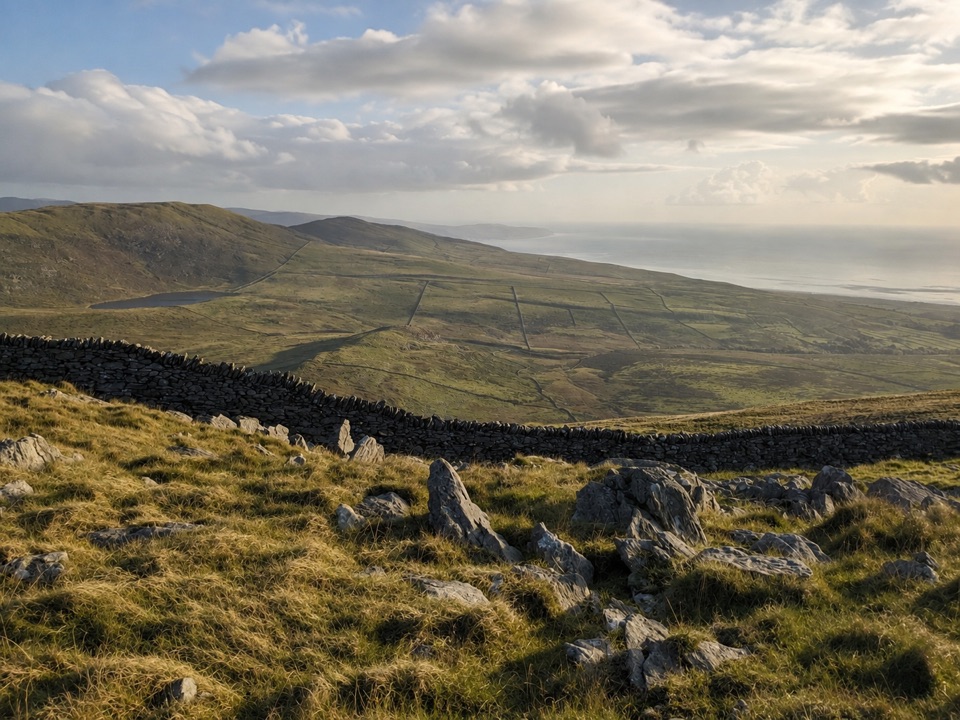
Eryri National Park, WA
Climb open upland to an Iron Age hillfort on its own rock
Overview
A there-and-back walk of 7 km (4.3 miles) round trip, graded Moderate, rising to a hillfort set on an isolated rock about 350 m above sea level. Start and finish at the car park near Cors y Gedol Hall, grid reference SH 602231.
The route leads inland and uphill from the valley, passing Cors-y-Gedol Ffridd Isaf and the site of an ancient village on the way to Craig y Ddinas. The reward is the hillfort's perch itself, a defensive rock outcrop reached on foot and returned by the same line, so the high ground is the turning point rather than a loop halfway.
 Parkwolf’s verdictThe way up and the payoff
Map & elevation
Plan your hike

The highest, rockiest slopes around here are a summer buffet for grizzly bears.
Eryri Tour Guide
Parkwolf is a GPS audio tour guide for Eryri National Park. As you drive, it chimes in with what’s ahead: hidden gems, upcoming stops, history, geology, and wildlife, right through your car’s speakers.
Recorded for this trailhead
Craig y Ddinas Hillfort Walk“Up ahead is the start of the Craig y Ddinas walk, a climb across open hills to an Iron Age hillfort on a lone rock. Allow about two hours for the out-and-back, with steep, unsurfaced stretches.”
Plays as you drive up to this trailhead in the Parkwolf Eryri Tour Guide.
More stories near here in the app
“Fantastic app with many points of information… It’s great to just turn on while you’re driving and it gives you an audio tour of the national Park. We love it!!!!”


Trail guide
Moderate suits it well. Expect some steep sections and unsurfaced paths across open countryside, so proper boots are essential rather than optional, and waterproof layers should be in the pack.
This is upland walking in the open: stone wall lines, rough grass and rock underfoot, hills layering away inland and the coast showing in the distance. It is listed as not popular, so the walk tends to feel quiet for its length.
Parking is at the private car park near Cors y Gedol Hall. Use designated parking areas only.
The official visitor figure is 4.3 miles round trip, while the mapped physical corridor measures 2.361 miles one way. The two published measurements do not agree, and both are recorded here as documented.
Wildlife
 77 sightingsGrey HeronMost seen around 7 AMSighting map
 17 sightingsTawny OwlMost seen around 6 AMSighting map
 32 sightingsCommon RavenMost seen around 8 AMSighting map
 21 sightingsGreat Spotted WoodpeckerMost seen around 7 AMSighting map
 18 sightingsEuropean RabbitMost seen around 7 AMSighting map
 161 sightingsViviparous LizardMost seen around 10 AMSighting map
Sighting maps show where each species has been reported across Eryri. Wildlife moves, so no sighting is guaranteed.
Keep exploring
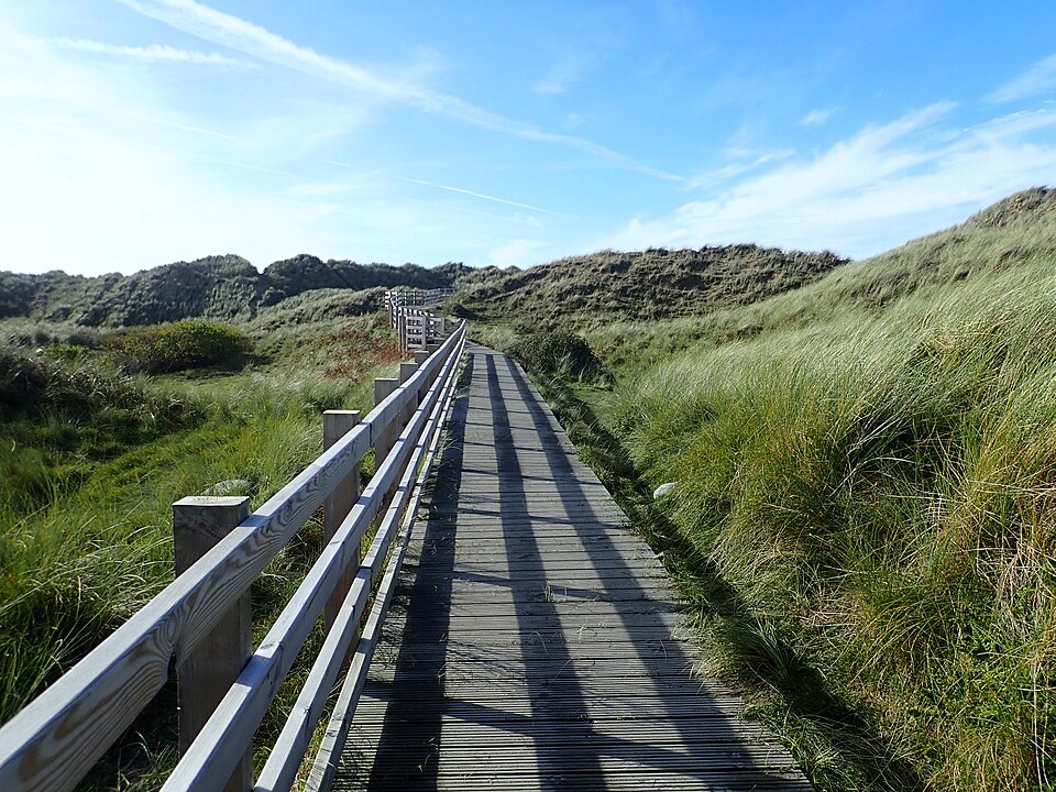 EasyBenar Boardwalk0.6 km · 15 min · 3.1 km awayFlat boardwalk to a Cardigan Bay beach viewpoint, open to all wheels
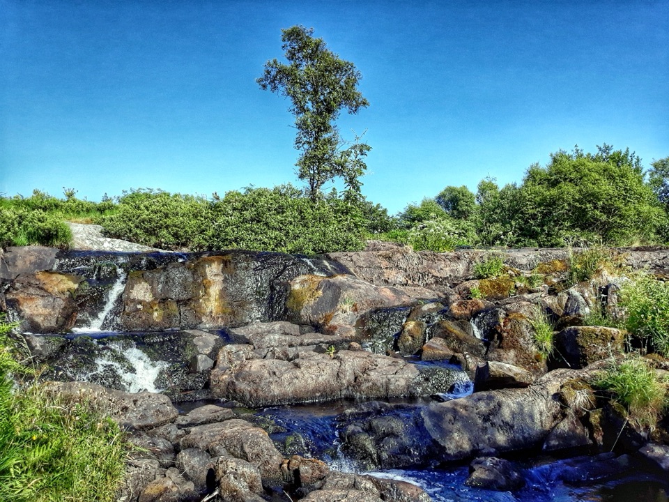 ModerateRhaeadr Nantcol Waterfalls Circular2.6 km · 1 hr · 4.2 km awayTwo waterfalls, riverside path and shaded woods on an hour-long loop
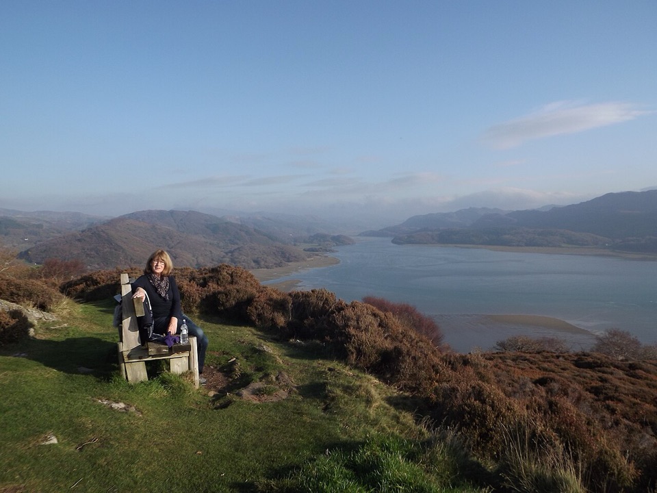 ChallengingPanorama Walk6.4 km · 3 hr · 6.9 km awaySteep, often boggy loop to a sweeping Mawddach Estuary viewpoint
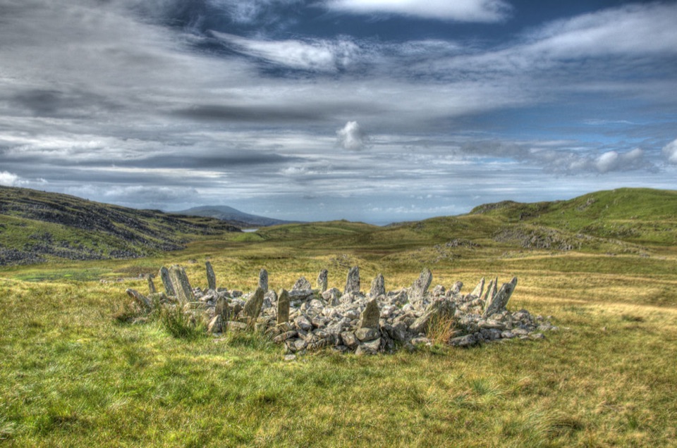 ChallengingTaith Ardudwy Way38.9 km · 13.5 hr · 7 km awayThree days of quiet moorland, lakes and a Bronze Age stone circle
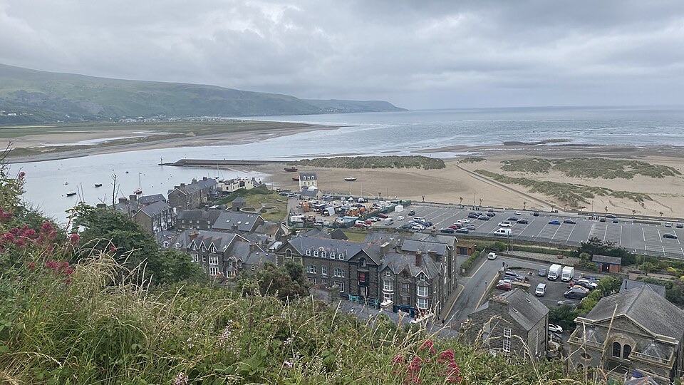 ModerateDinas Oleu Walk1.9 km · 1.3 hr · 7 km awayShort steep climb to gorse-clad views over the Mawddach and Cardigan Bay
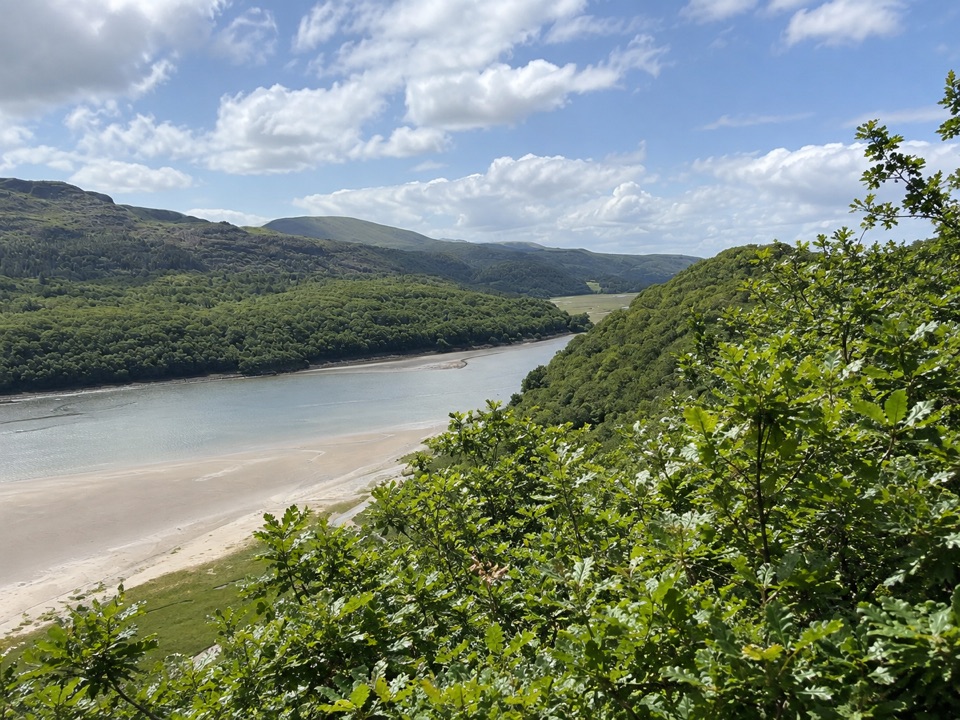 ModerateFarchynys Walk2 km · 1 hr · 7.2 km awayTwo estuary viewpoints on a short woodland circuit above the Mawddach
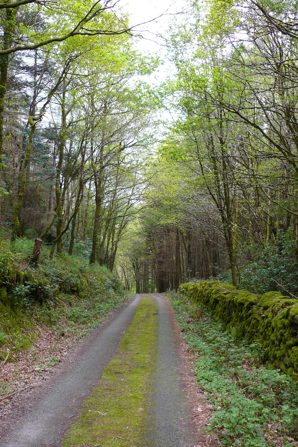 ModerateClogau Trail6.5 km · 3 hr · 8.4 km awayEstuary banks, oak woods and old gold workings on a steady loop
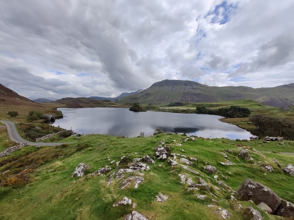 ModerateRhaeadrau Arthog and Llynnau Cregennan13.7 km · 4 hr · 8.9 km awayWaterfall, hilltop lakes, ancient woods and estuary on one 13.7 km loop
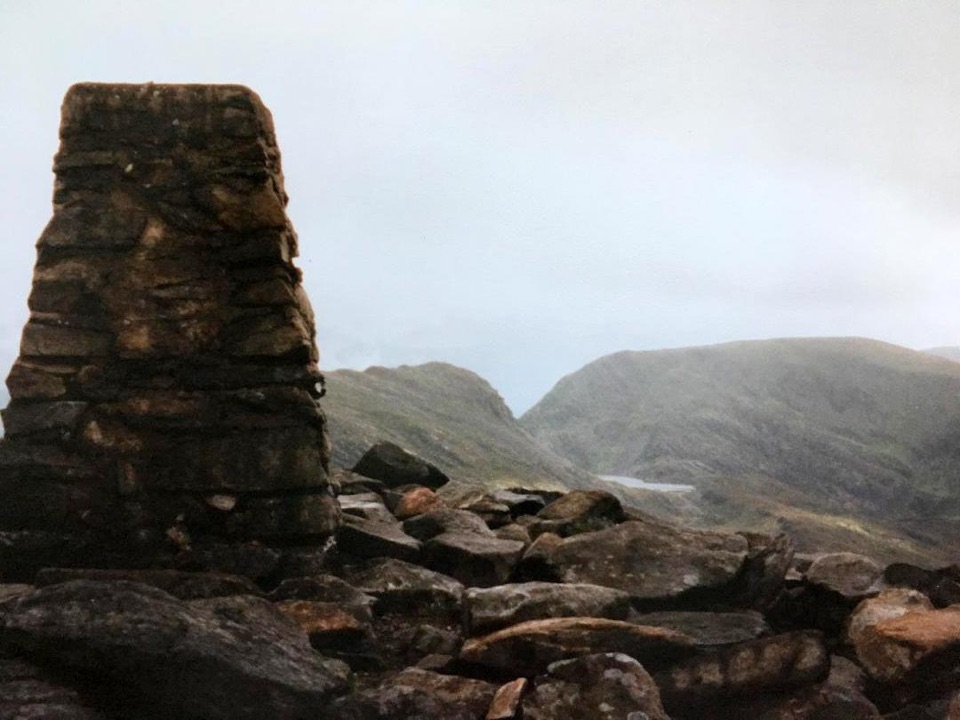 Sight · 8.2 km awayRhinog FawrA rough-edged summit with big views and a wilder feel.
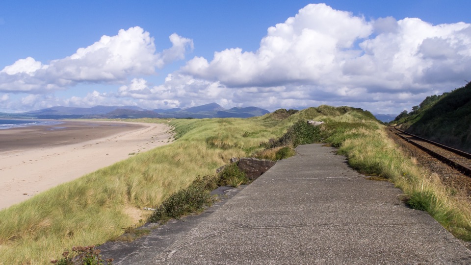 Beach · 8.4 km awayHarlech BeachA huge dune-backed beach with castle and mountain views
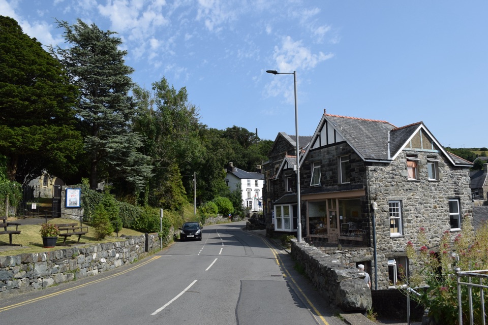 Sight · 8.5 km awayHarlechA steep old town linking castle, coast, and mountain views
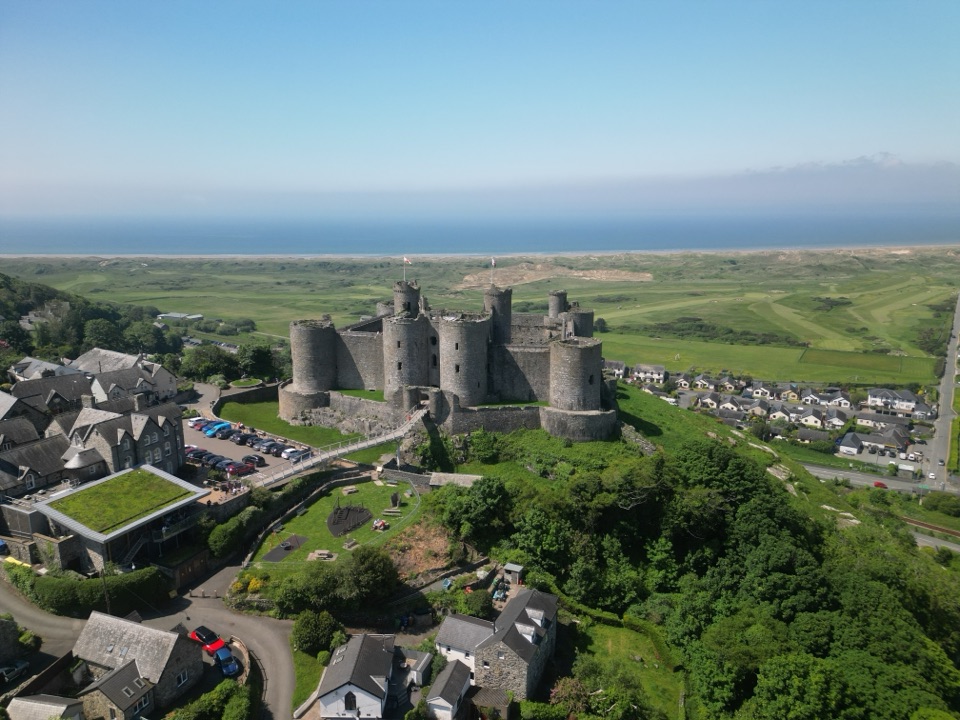 Sight · 8.7 km awayHarlech CastleA medieval fortress above dunes, sea, and mountain skyline
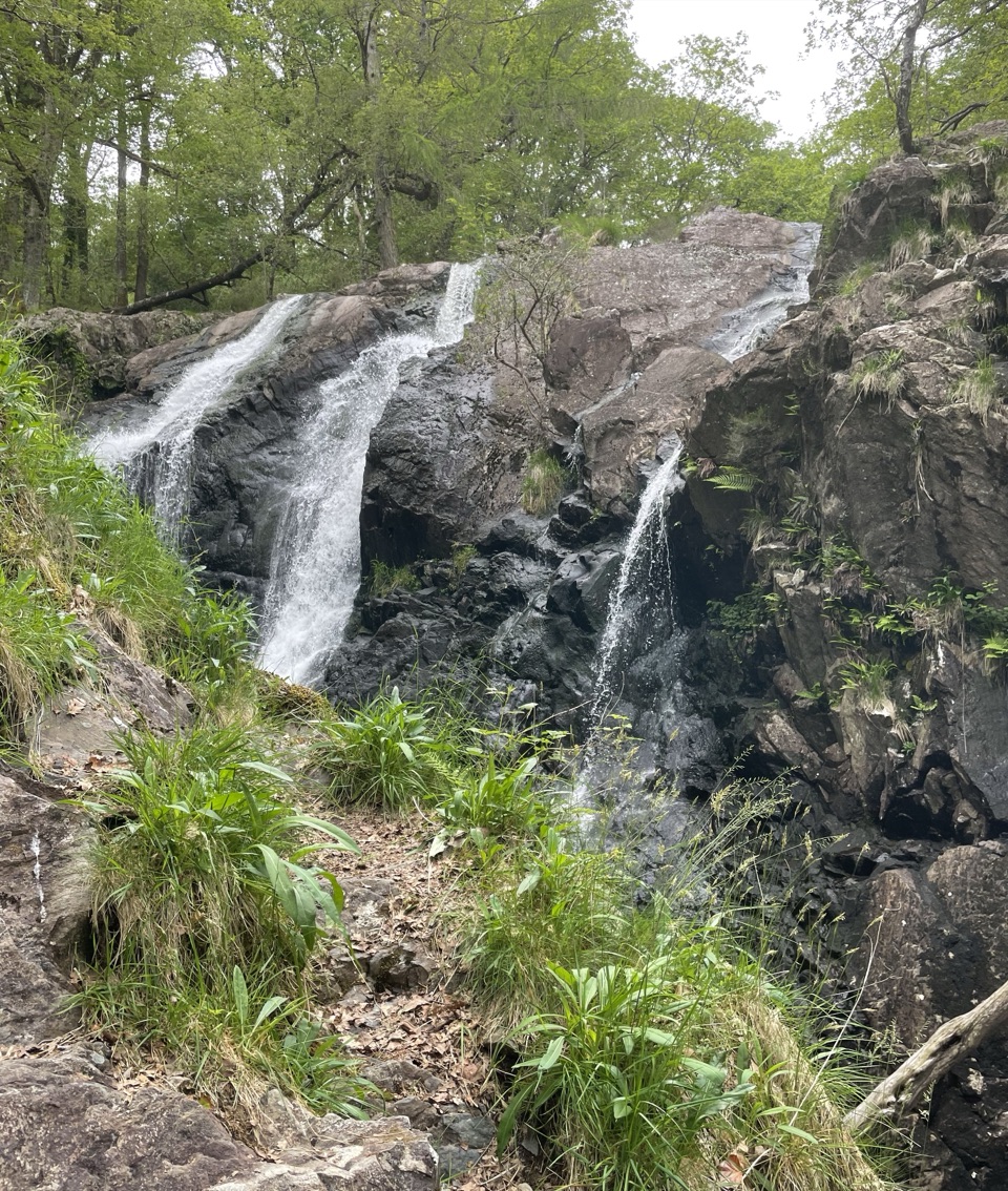 Sight · 11.9 km awayRhaeadr Ddu (Black Falls)Two mossy cascades drop about 60 feet through ancient oak woodland
 Sight · 12.2 km awayCymer AbbeyThree medieval arches frame the Mawddach valley
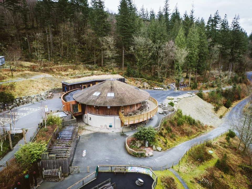 Visitor center · 12.6 km awayCoed y Brenin Visitor CentreBritain’s first purpose-built mountain-bike centre, now a quiet trailheadSight · 13.2 km awayBryn Cader FanerA spiky Bronze Age cairn crowning a lonely Rhinogydd hillside
Parkwolf’s Eryri ranking
The audio tour guide for the drive, plus offline maps, trails, and wildlife heatmaps for when the signal drops.




