Parking
Start at Barmouth railway station and town centre; the Main Car Park is nearby. Finish at Llandecwyn railway station, so arrange a return by rail, lift or taxi before setting out.
Eryri National Park, WA
Three days of quiet moorland, lakes and a Bronze Age stone circle
Overview
Map & elevation
Plan your hike

The highest, rockiest slopes around here are a summer buffet for grizzly bears.
Eryri Tour Guide
Parkwolf is a GPS audio tour guide for Eryri National Park. As you drive, it chimes in with what’s ahead: hidden gems, upcoming stops, history, geology, and wildlife, right through your car’s speakers.
Recorded for this area
Two Homes on the Hills“Some Eryri farm names describe an old rhythm of moving between two homes. The hendre was the main farm on the better valley grazing.”
Plays on the road 1.9 km from the trailhead in the Parkwolf Eryri Tour Guide.
More stories near here in the app
“Fantastic app with many points of information… It’s great to just turn on while you’re driving and it gives you an audio tour of the national Park. We love it!!!!”


Trail guide
The Taith Ardudwy Way, or Ardudwy Way, is a signed point-to-point walk of 24.2 miles (39 km) one way, running north from Barmouth to Llandecwyn railway station. It is not a circular walk, and it is not the short Ardudwy circular near Dyffryn Ardudwy. Most people split it into three stages, commonly Barmouth to Tal y Bont, Tal y Bont to Harlech, and Harlech to Llandecwyn. A strong walker pushing the whole thing in one go should allow in the region of 13.5 hours of walking.
Distance figures vary by mapping and by which link paths a route set follows, so you will see the same walk quoted at 24 miles or 38 km elsewhere. The 24.2-mile measurement matches the detailed section-by-section listing and is what we store.
From the town-centre access in Barmouth the route climbs onto the hills behind the coast, over Bwlch y Rhiwgyr and past the Cerrig Arthur area, then on to Llyn Irddyn and the bridge at Pont Scethin on the old coach route. The middle takes you through the Moelfre foothills and old mine ground, past Llyn Eiddew-bach and up to Bryn Cader Faner, before dropping through the Llyn Tecwyn lakes and farmland to finish at Llandecwyn station.
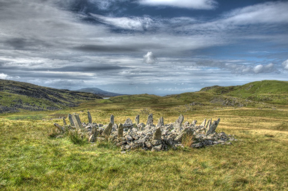
Bryn Cader Faner is the reason many walkers come. This Bronze Age ring cairn, with its thin stones splayed outward from a low mound, is the strongest single feature on the walk and sits in open moorland with nothing modern nearby. Add stone circle remains, cairns, old manganese workings, drovers' tracks and the church and farms around Llyn Tecwyn, and the whole line reads as a working record of people moving through Ardudwy for thousands of years.
We rate it 7 out of 10. Nothing on it is technical and it stays low to mid level rather than tagging summits, but the length, the cumulative climbing over three days and the remoteness of the upland sections add up. The terrain profile along the route rolls repeatedly between sea level and high moorland ground, so there is no long flat middle to recover on.
Most of the walking is on easy tracks and paths. The exceptions matter: the central section includes a thin path through a rough, bracken-filled ravine that can be slow going, and pasture crossings can be soft underfoot. Ground on the open moor is often rough, rocky and wet.
Waymarking is generally good, but at least one junction has been reported with a weak or missing marker, and summer bracken can hide the narrow line of the path. Carry a map and a compass or GPS and know how to use them, because the upland stretches put you a long way from a road. Weather in these hills changes fast, and the open upland ground is rough, rocky and wet underfoot.
Expect wide views over the Mawddach Estuary early on, then the western flank of the Rhinogydd rising alongside you, with sea and coastal plain to the west. Because the route stays low to mid level rather than tagging summits, it tends to feel quieter than the honeypot Eryri mountain paths, though that is a pattern rather than a promise.
For photographs, aim for low light on Bryn Cader Faner, where side lighting picks out the leaning stones, and for the bridge at Pont Scethin with the moor behind it. Buzzards and red kites are seen fairly regularly over the farmland and foothills, but nothing is guaranteed.
Access is ordinary public access on signed paths, tracks, lanes and access land. Dogs are welcome under close control, and a lead is the right call, particularly through pasture and anywhere near livestock.
The practical challenge is the point-to-point shape. Barmouth is reachable by rail and has town-centre parking, including the main car park, but if you leave a car there you have to get back to it from Llandecwyn. Both ends sit near railway stations on the same coastal line, which is the cleanest option for linking start and finish, and some walkers arrange a taxi or a lift instead. Check timetables and connections yourself before you commit, and build in a margin at the Llandecwyn end. Some walkers reverse the route and start at Llandecwyn, which works equally well.
If a full multi-day upland crossing is more than you want, the Mawddach Trail out of Barmouth gives a flatter, easier linear day on estuary-side ground.
Wildlife
 77 sightingsGrey HeronMost seen around 7 AMSighting map
 17 sightingsTawny OwlMost seen around 6 AMSighting map
 32 sightingsCommon RavenMost seen around 8 AMSighting map
 21 sightingsGreat Spotted WoodpeckerMost seen around 7 AMSighting map
 18 sightingsEuropean RabbitMost seen around 7 AMSighting map
 161 sightingsViviparous LizardMost seen around 10 AMSighting map
Sighting maps show where each species has been reported across Eryri. Wildlife moves, so no sighting is guaranteed.
Keep exploring
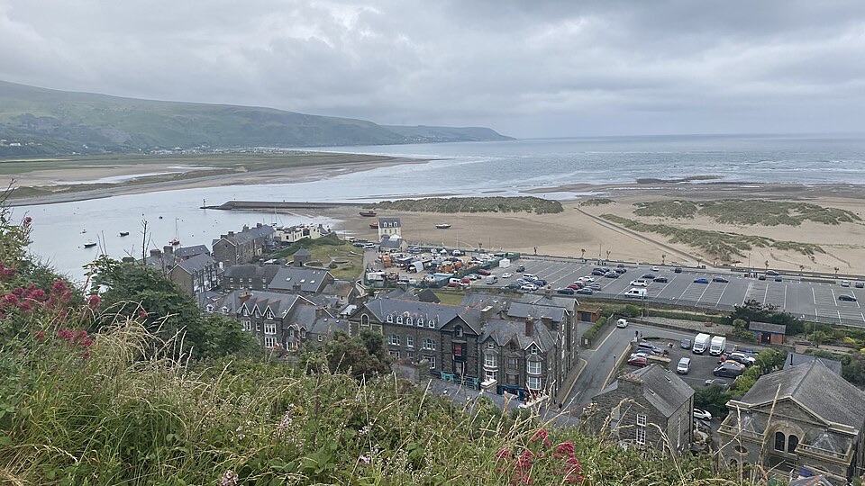 ModerateDinas Oleu Walk1.9 km · 1.3 hr · At the trailheadShort steep climb to gorse-clad views over the Mawddach and Cardigan Bay
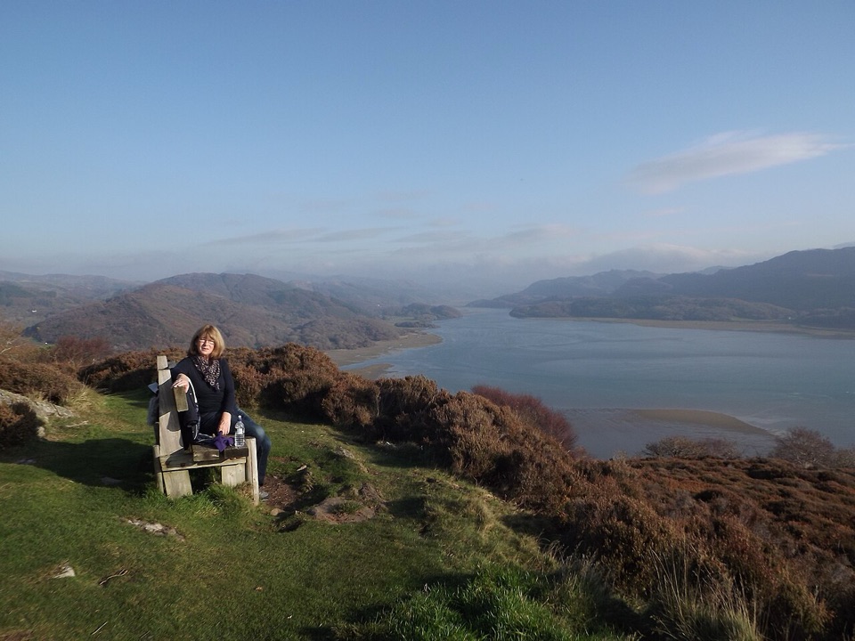 ChallengingPanorama Walk6.4 km · 3 hr · 1.4 km awaySteep, often boggy loop to a sweeping Mawddach Estuary viewpoint
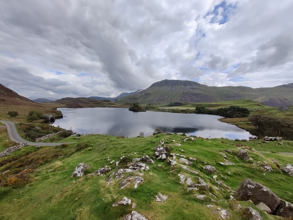 ModerateRhaeadrau Arthog and Llynnau Cregennan13.7 km · 4 hr · 3 km awayWaterfall, hilltop lakes, ancient woods and estuary on one 13.7 km loop
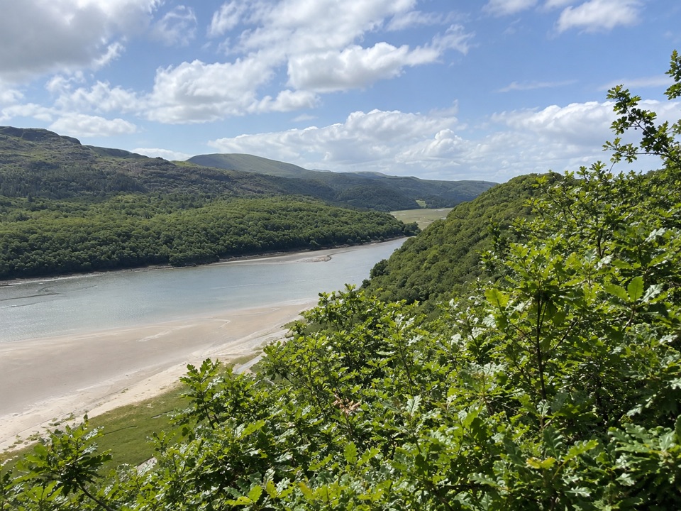 ModerateFarchynys Walk2 km · 1 hr · 5.7 km awayTwo estuary viewpoints on a short woodland circuit above the Mawddach
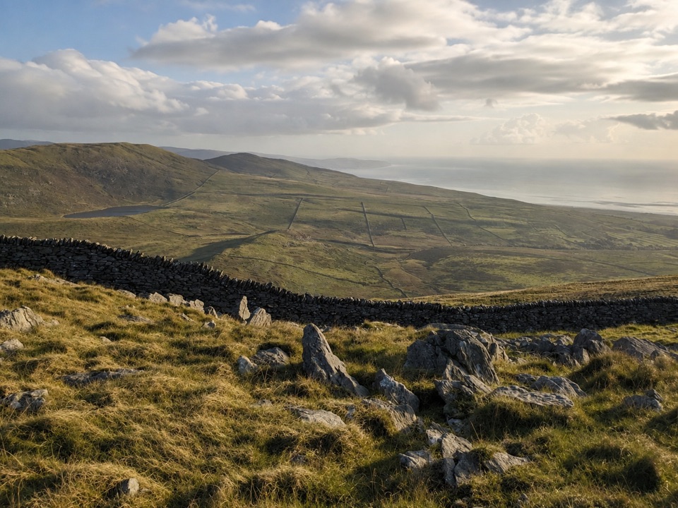 ModerateCraig y Ddinas6.9 km · 2 hr · 7 km awayClimb open upland to an Iron Age hillfort on its own rock
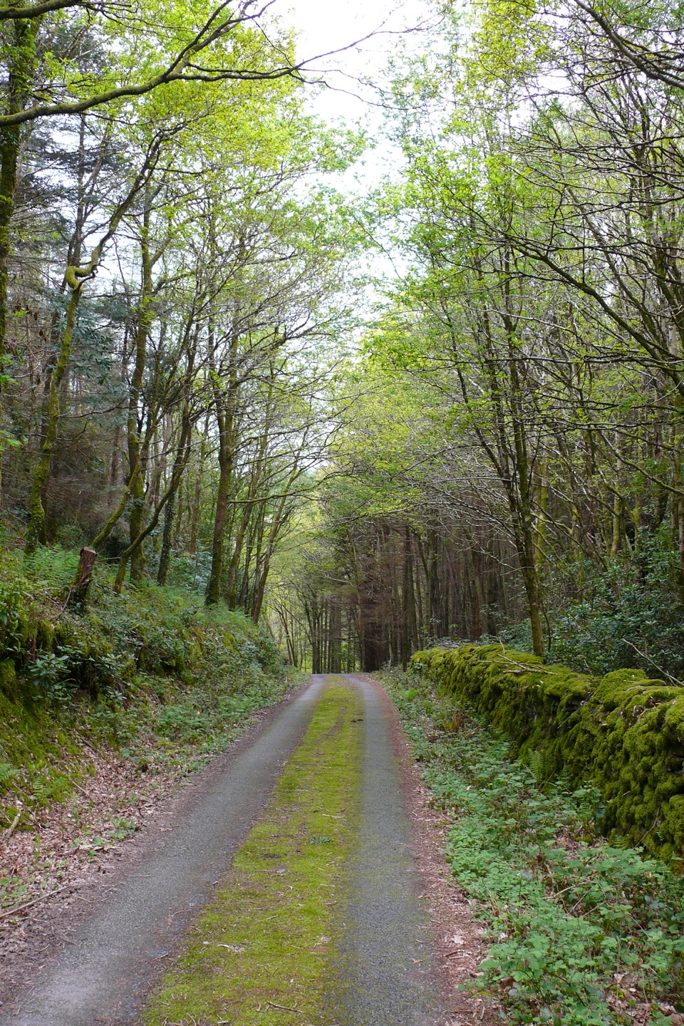 ModerateClogau Trail6.5 km · 3 hr · 7.3 km awayEstuary banks, oak woods and old gold workings on a steady loop
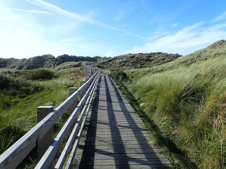 EasyBenar Boardwalk0.6 km · 15 min · 7.9 km awayFlat boardwalk to a Cardigan Bay beach viewpoint, open to all wheels
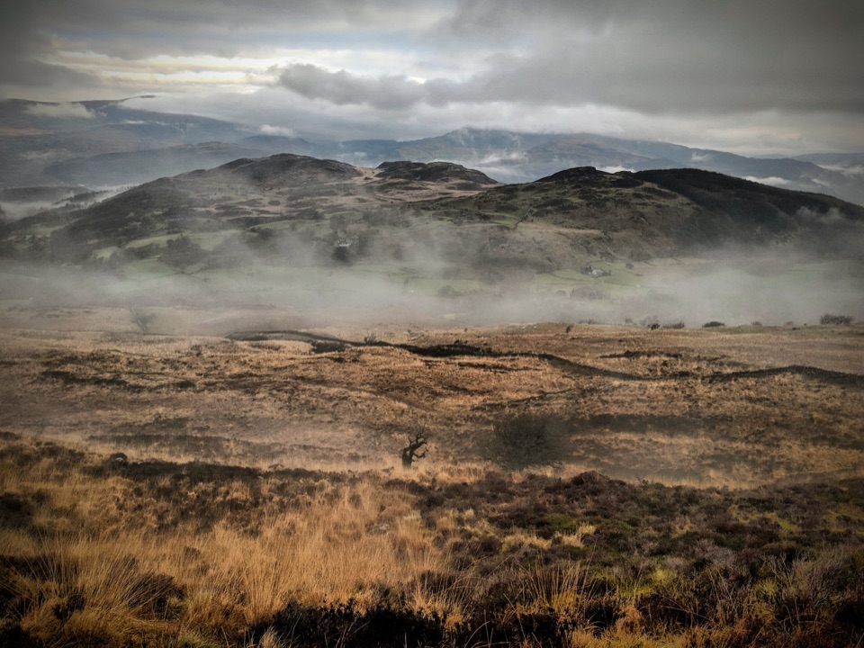 ChallengingPony Path (Tŷ Nant)10 km · 5 hr · 8.6 km awaySteady zigzag climb to Cader Idris summit, with a short rocky scramble
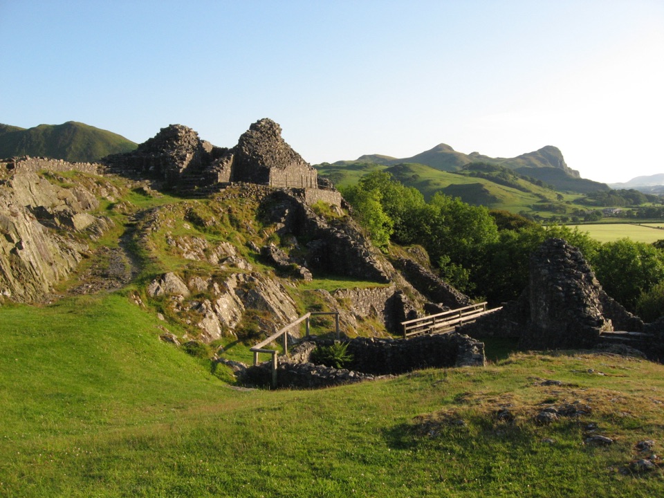 Sight · 9.2 km awayCastell y BereRuined Welsh stronghold on a rocky crag above the Dysynni
 Sight · 10.3 km awayCader IdrisA high rocky summit above the dark bowl of Llyn Cau
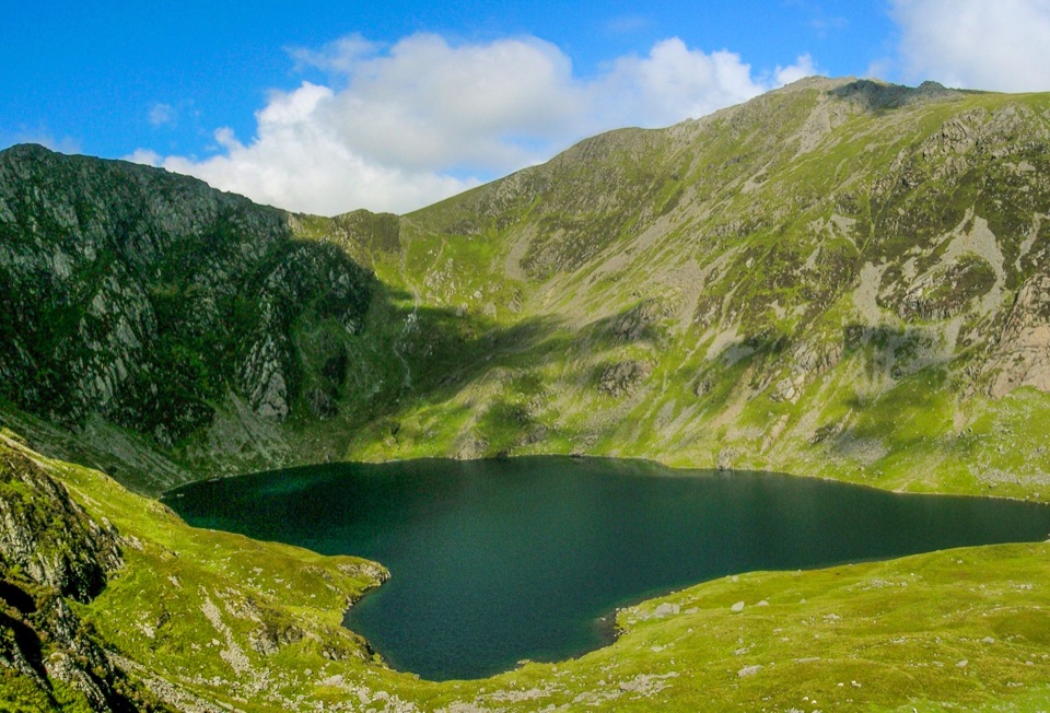 Sight · 10.9 km awayLlyn CauA glacial lake tucked beneath Cadair Idris's steep crater rim
 Sight · 11.5 km awayCymer AbbeyThree medieval arches frame the Mawddach valley
 Sight · 11.7 km awayTŷ SiamasA Welsh folk-music centre in a handsome former market hall
 Sight · 11.7 km awayDolgellauGrey dolerite townscape and tangled lanes beneath Cader Idris
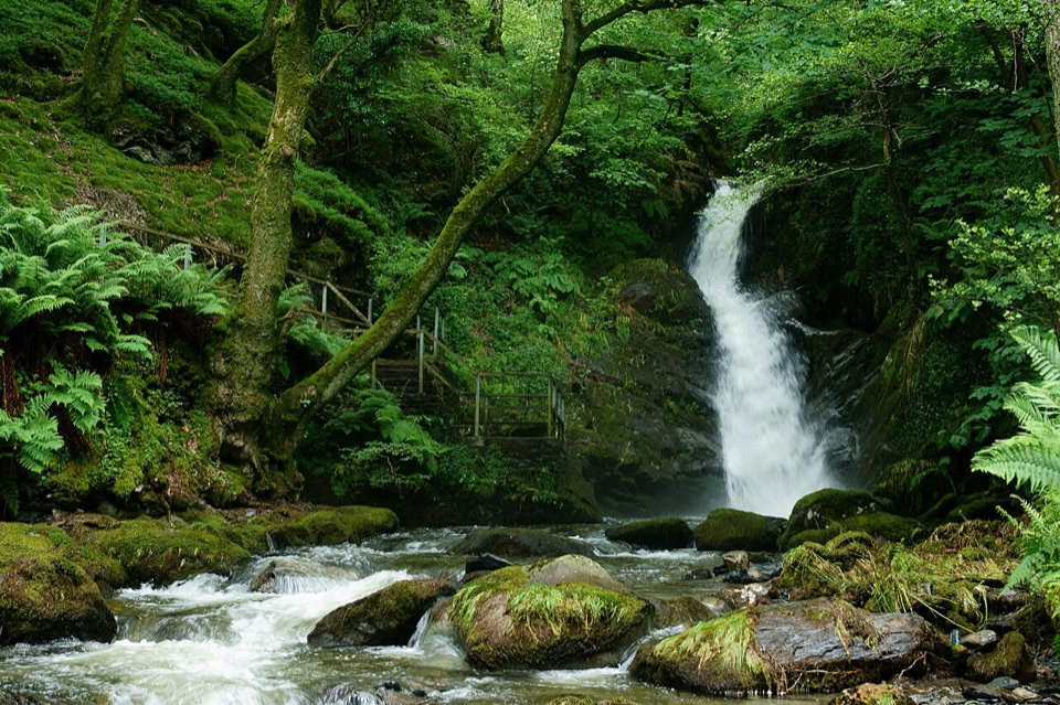 Sight · 12.1 km awayDolgoch FallsThree forest waterfalls linked by a steep, atmospheric ravine walk
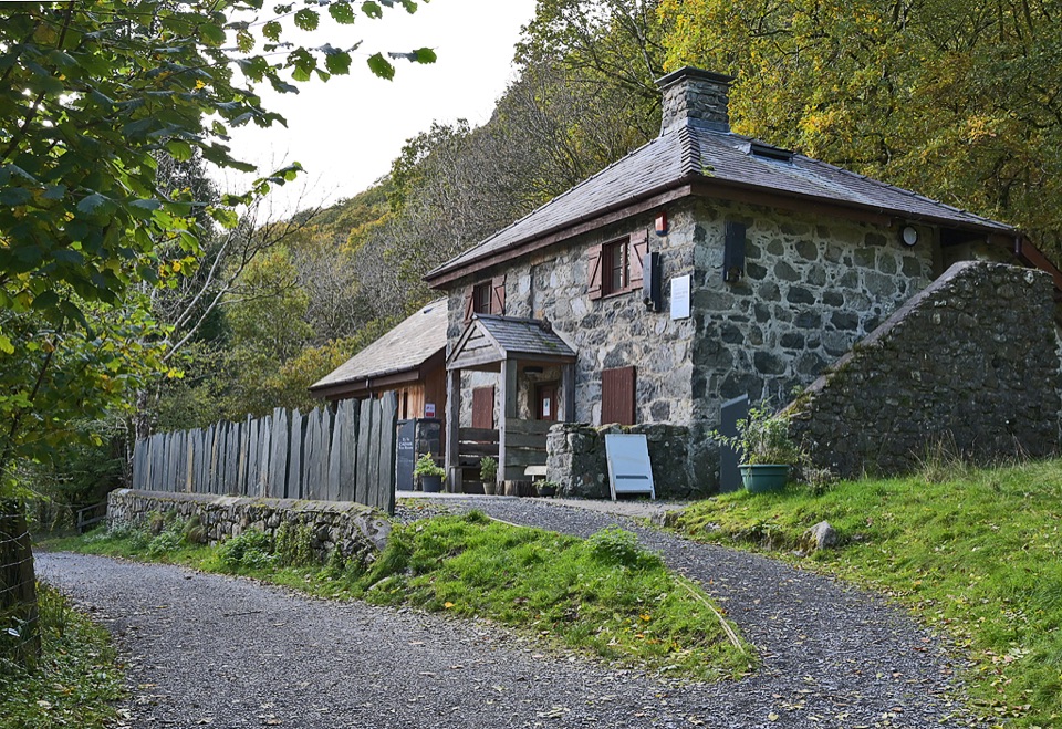 Visitor center · 12.4 km awayCader Idris Visitor CentreA stone mountain base with wildlife exhibits and gentle woodland paths
Parkwolf’s Eryri ranking

The audio tour guide for the drive, plus offline maps, trails, and wildlife heatmaps for when the signal drops.




