Parking
Use the Tŷ Mawr Wybrnant visitor car park, reached from the A5 via the B4406 and Penmachno, then a narrow forest lane. The main car park is about 500 yards from the farmhouse; limited accessible parking is about 20 yards from it.
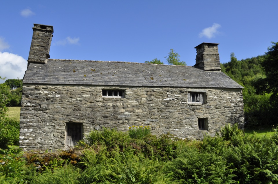
Eryri National Park, WA
An easy mile loop past the birthplace of the Welsh Bible
Overview
Map & elevation
Plan your hike

The highest, rockiest slopes around here are a summer buffet for grizzly bears.
Eryri Tour Guide
Parkwolf is a GPS audio tour guide for Eryri National Park. As you drive, it chimes in with what’s ahead: hidden gems, upcoming stops, history, geology, and wildlife, right through your car’s speakers.
Recorded for this trailhead
Tŷ Mawr Wybrnant“You're approaching Tŷ Mawr Wybrnant, a modest farmhouse in a quiet upland valley with a remarkable story.”
Plays as you drive up to this trailhead in the Parkwolf Eryri Tour Guide.
More stories near here in the app
“Fantastic app with many points of information… It’s great to just turn on while you’re driving and it gives you an audio tour of the national Park. We love it!!!!”


Trail guide
This is a circular walk of 1 mile (1.6 km), measured as the full loop back to where you started, and most people take about 30 minutes. It begins and ends at the Tŷ Mawr Wybrnant visitor car park, and the mapped line closes within a few steps of that point, so there is no backtracking needed.
From the car park you follow the access and parking track down towards the old farmhouse, then pick up upland farm and forest tracks that swing out through the valley, including a stretch of old drovers road, before curving back to the start. The payoff is the valley itself: a compact walk through the natural and social history of a Welsh upland farming landscape, with Tŷ Mawr Wybrnant at the centre of it. The house is the birthplace of Bishop William Morgan, who translated the Bible into Welsh in 1588.
Easy. The walk stays roughly between 200 and 270 m, so you get gentle valley rises rather than any real climbing, and the ground is mostly made tracks and paths: farm access, forest road, and the old drovers line. Ordinary walking shoes are fine in dry spells, though upland field and woodland sections can hold damp. Do not come expecting a summit or a big viewpoint finish, since this is a heritage and countryside circuit.
Traditional upland pasture, scattered woodland and forest edge, the farmhouse and its grounds, and habitat that supports valley wildlife. It rewards a slow pace more than a fast one.
The reliable approach is from the A5 onto the B4406 through Penmachno, then along the forest lane. That lane is narrow with steep verges and few passing places, so drive it slowly and be ready to reverse.
The grounds and countryside walking are open year round. The house and toilets keep their own separate hours, so check those before you plan a visit around them.
Dogs are welcome on the walk, but they must be kept on leads throughout.
A good step up nearby is the Ty'n y Coed Uchaf and Cwm Eidda walk, roughly 5 miles (8 km), taking in rivers, farmland and ancient woodland with views towards Snowdon. It pairs well with this one if you want a full day in the area.
Wildlife
 77 sightingsGrey HeronMost seen around 7 AMSighting map
 17 sightingsTawny OwlMost seen around 6 AMSighting map
 32 sightingsCommon RavenMost seen around 8 AMSighting map
 21 sightingsGreat Spotted WoodpeckerMost seen around 7 AMSighting map
 18 sightingsEuropean RabbitMost seen around 7 AMSighting map
 161 sightingsViviparous LizardMost seen around 10 AMSighting map
Sighting maps show where each species has been reported across Eryri. Wildlife moves, so no sighting is guaranteed.
Keep exploring
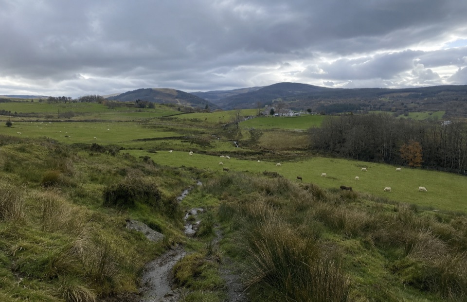 ModerateTy'n y Coed Uchaf and Cwm Eidda Walk8 km · 3.5 hr · 2.9 km awayFarm ruins, boggy uplands and Snowdon views on a five-mile loop
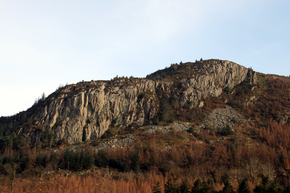 ModerateCwm Penamnen (Long)9.5 km · 3 hr · 3.4 km awayQuiet valley climb to a Roman road and 15th-century ruins
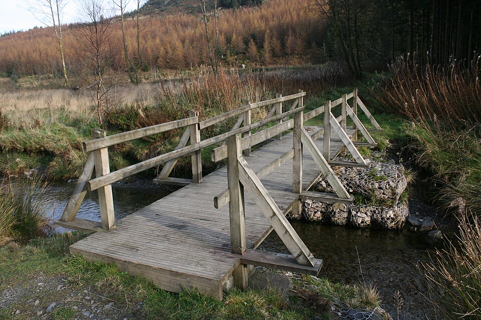 EasyCwm Penamnen (Short)3.5 km · 1.3 hr · 3.4 km awayQuiet forest loop above Dolwyddelan, with a river bridge and Roman road
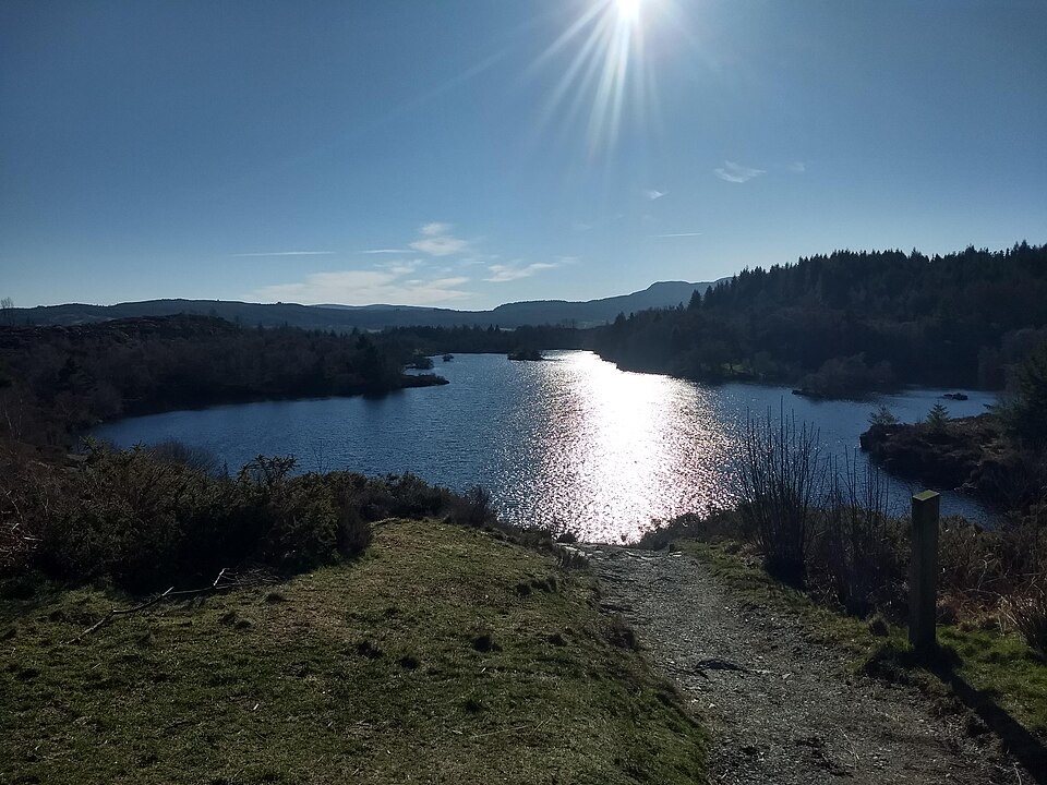 ChallengingLlyn Elsi Walk6.3 km · 2.5 hr · 4.7 km awaySteep forest climb from the village to a quiet island-dotted reservoir
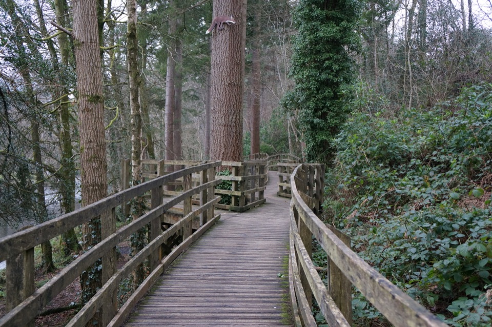 EasyCoed Tan Dinas Walk1.1 km · 30 min · 4.8 km awayRiver boardwalk, tall Douglas firs, picnic spot, all in 30 minutes
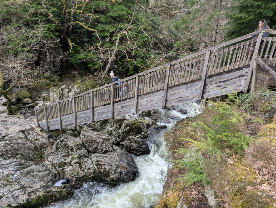 ModerateAfon Llugwy Riverside Walk2.4 km · 1.3 hr · 4.8 km awayRiverside loop through tall Douglas firs to the historic Miners' Bridge
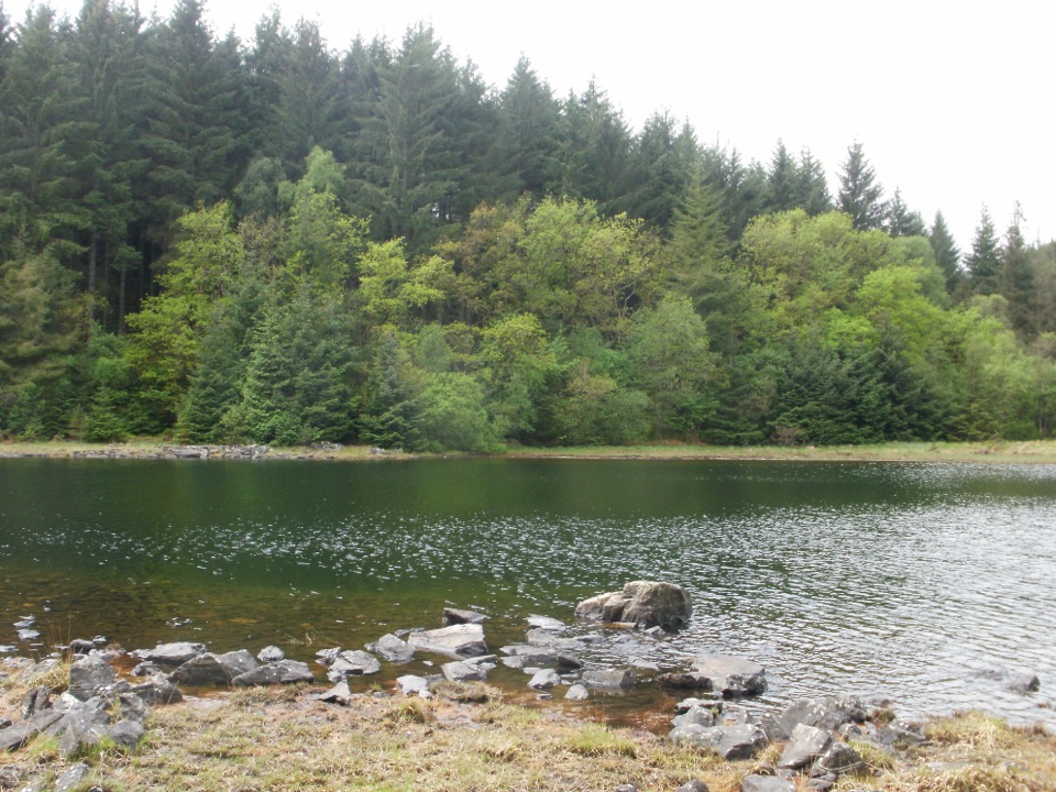 ChallengingLlyn Parc Walk6.9 km · 2.3 hr · 4.8 km awayStrenuous 4.3-mile forest loop past a viewpoint, lake and mine gorge
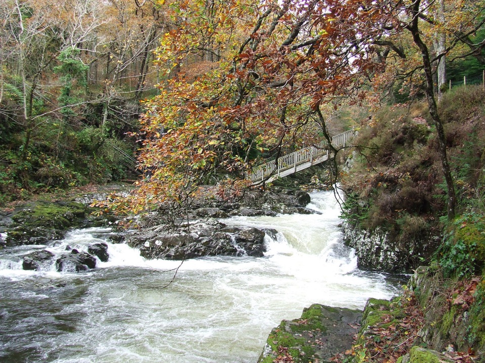 EasyBetws-y-coed Bridges3.6 km · 45 min · 4.9 km awayTwo river bridges, riverside woods and a village loop in 45 minutesSight · 0.1 km awayTŷ Mawr WybrnantA quiet Tudor farmhouse tied to the Welsh Bible's defining translation
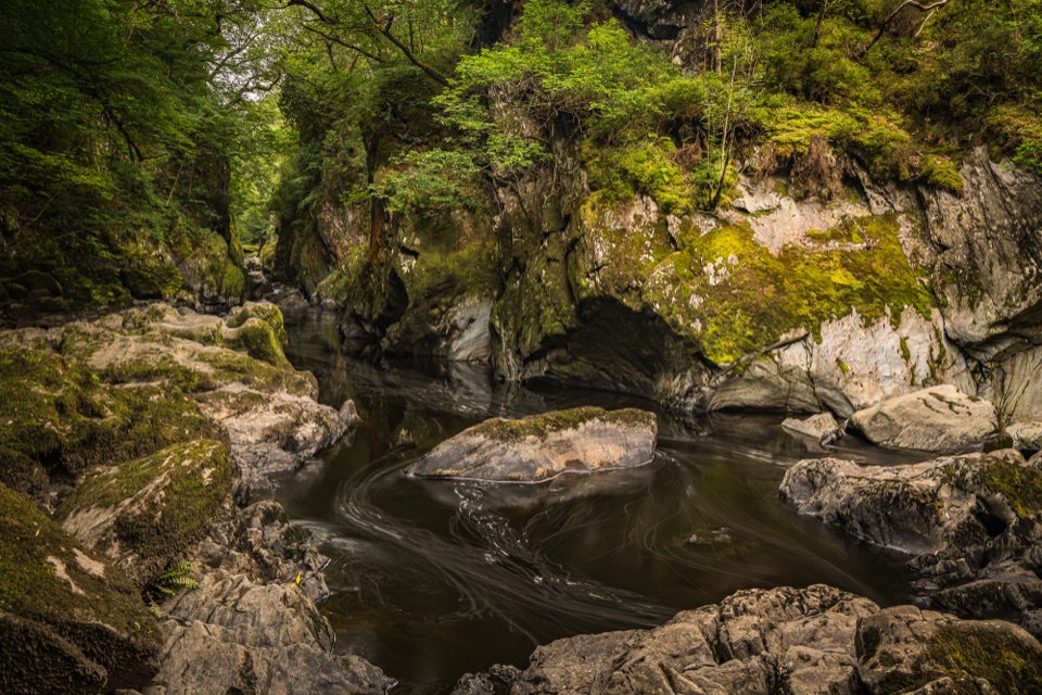 Sight · 3.6 km awayFairy Glen (Ffos Anoddun)Mossy rock gorge where the Conwy squeezes through wooded rapids
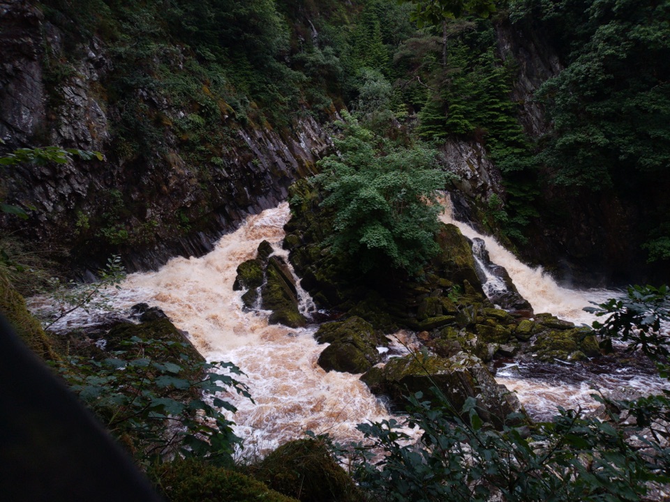 Sight · 3.9 km awayConwy FallsA rushing gorge waterfall wrapped in ancient woodland
 Sight · 4.6 km awayBetws-y-CoedA forest-framed village of bridges, rivers, and Victorian character
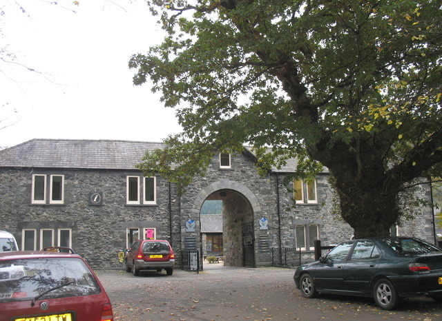 Visitor center · 4.8 km awayBetws-y-Coed Information CentreA practical base for maps, walks, and mountain-day know-how
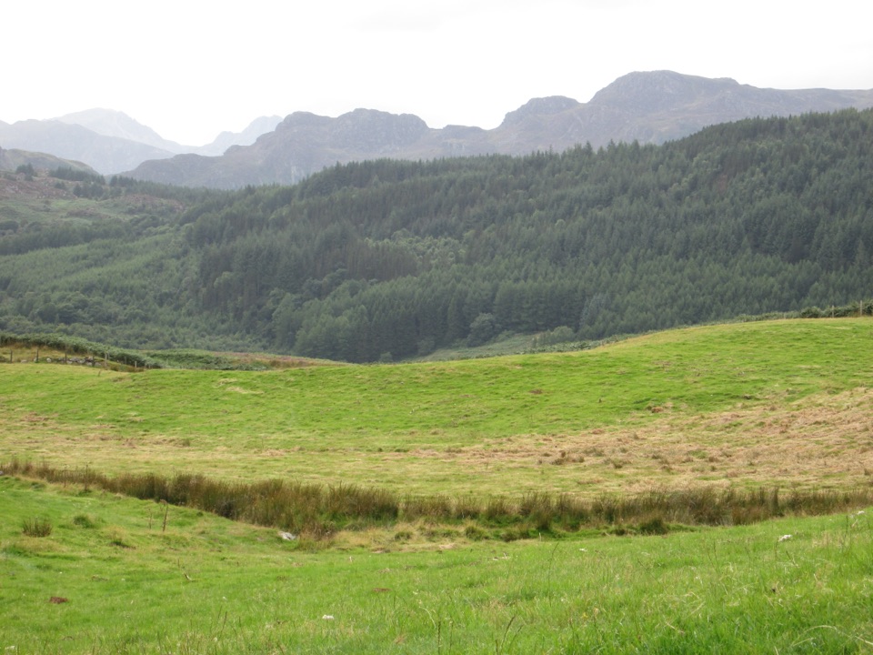 Sight · 4.9 km awayGwydir Forest ParkWoodland lakes, old mines, and big views around Betws-y-Coed
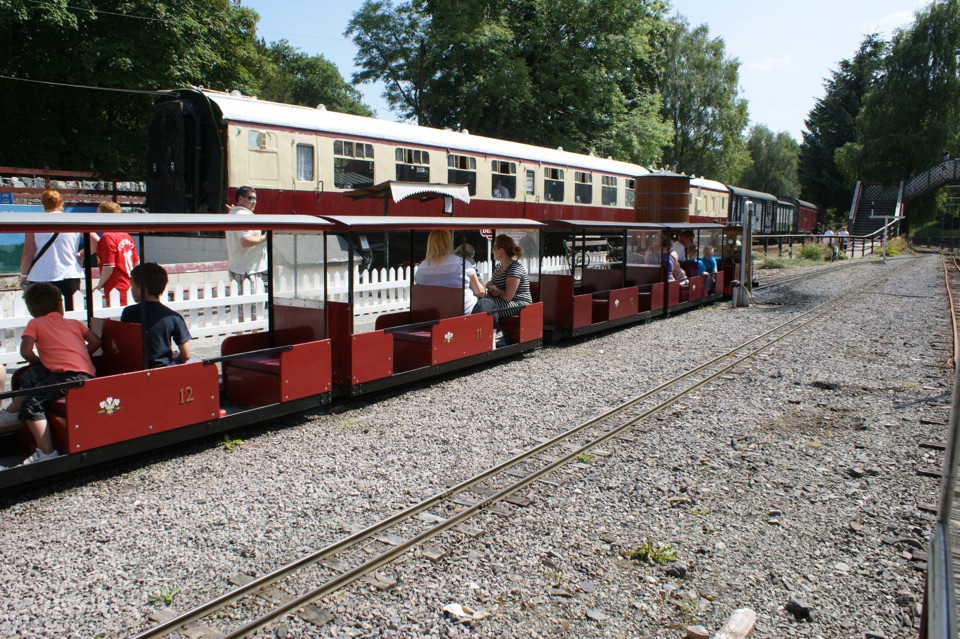 Sight · 4.9 km awayConwy Valley Railway MuseumMiniature trains and railway history beside Betws-y-Coed station
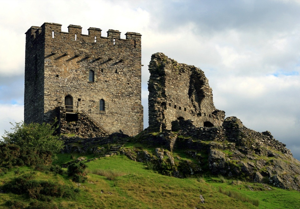 Sight · 4.9 km awayDolwyddelan CastleA rugged Welsh keep above the Lledr Valley
Parkwolf’s Eryri ranking

The audio tour guide for the drive, plus offline maps, trails, and wildlife heatmaps for when the signal drops.




