Ty'n y Coed Uchaf and Cwm Eidda Walk in Eryri National Park

Eryri National Park, WA

Ty'n y Coed Uchaf and Cwm Eidda Walk

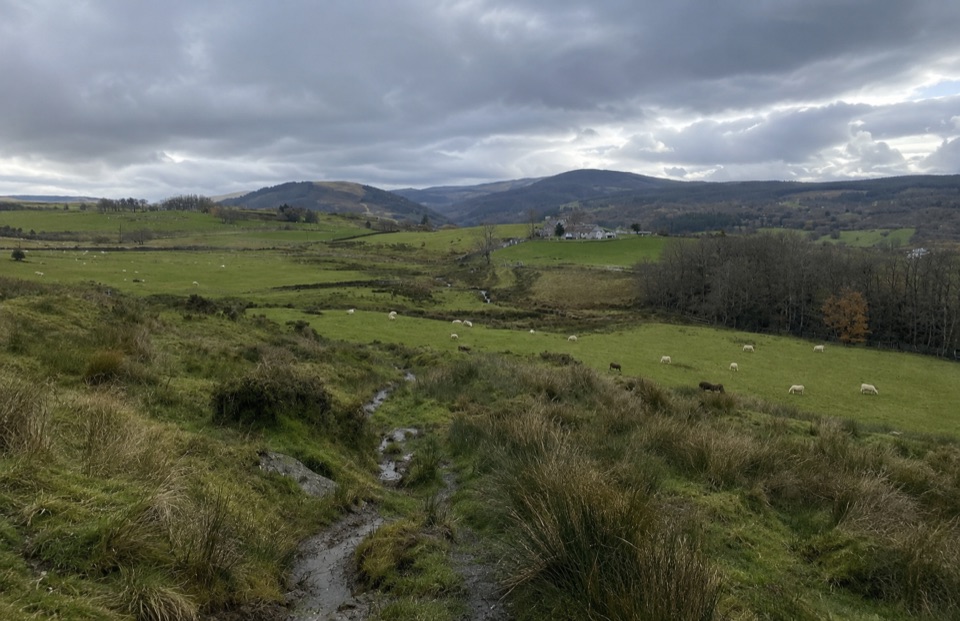
Farm ruins, boggy uplands and Snowdon views on a five-mile loop

Length
8km
Time
3.5hr
Elev. change
223m
Difficulty
Moderate
  • Loop
  • Dogs allowed
  • High point 358 m

Hear the audio tour

The Age of the Woods

Overview

About Ty'n y Coed Uchaf and Cwm Eidda Walk

Why go

  • Historic farmsteads, ruins and woodland in one loop
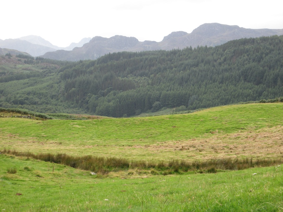
  • Wide upland views toward Snowdon and Moel Siabod

Heads up

  • Steep, uneven and boggy ground
  • Frequent gates, stiles and rough field paths

Map & elevation

The route

Loading the Eryri map
Full map
Elevation135–358 m
TrailheadTy'n y Coed lay-by on the B440653.05086, -3.79177
Keep this map with you offline in the Parkwolf app

Plan your hike

Before you go

Parking

Start at the Ty'n y Coed lay-by on the B4406, opposite Plas Eldon, near SH80519. From the A5, turn onto the B4406 toward Penmachno, then right after the first crossroads and follow signs through the first car park to the Ty'n y Coed car park. Use the lay-by and take care on the verge.


Best time to go

Late spring through early autumn is the sweet spot, when the hay meadows and woodland are at their best and the boggy field sections are at their driest. Winter and after prolonged rain the wet ground and stream crossings are the limiting factor rather than the climb. For photography, early morning or the last couple of hours of daylight give the best light on the ridge and across the Conwy valley, and low sun picks out the ruined walls beautifully.

Safety

Steep, uneven and boggy ground, wet crossings, stiles and rough field paths. Keep dogs on leads and take care beside the road and around streams.

A park ranger sits on a dash-mounted phone, talking, as Parkwolf’s Tour Guide plays “Army Cutworm Moths: A Grizzly Bear Buffet” on Grand Loop Road below Dunraven Pass in Yellowstone
Parkwolf Tour GuideThe highest, rockiest slopes around here are a summer buffet for grizzly bears.

Eryri Tour Guide

Your drive to Ty'n y Coed Uchaf and Cwm Eidda Walk, narrated.

Parkwolf is a GPS audio tour guide for Eryri National Park. As you drive, it chimes in with what’s ahead: hidden gems, upcoming stops, history, geology, and wildlife, right through your car’s speakers.

Recorded for this area

The Age of the Woods
0:00 / 0:30
“At Conwy Falls, the woodland’s age is in the land, not any one tree. Ancient woodland in Wales means a place has remained wooded since at least sixteen hundred.”

Plays on the road 0.5 km from the trailhead in the Parkwolf Eryri Tour Guide.

More stories near here in the app

  • Penmachno's Message in Stone
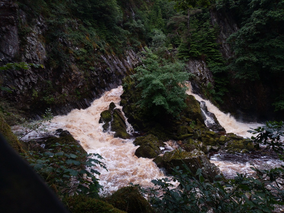
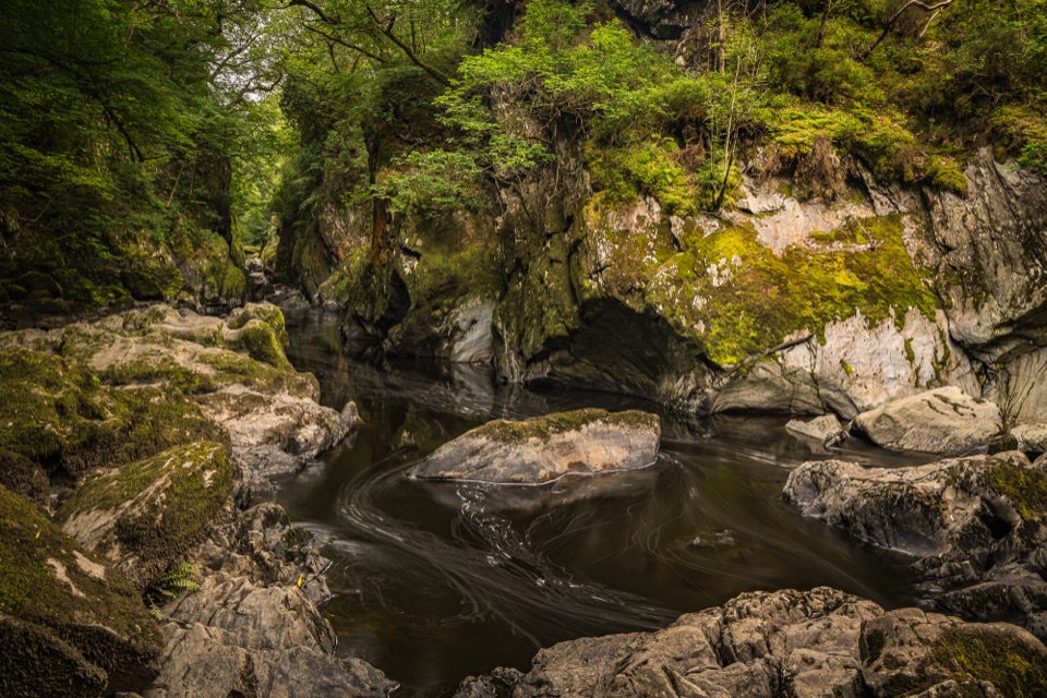
  • Conwy Falls and its woodland gorge
  • Water the Colour of Tea
  • Read the Stones in the Wall
  • 298 audio storiesacross Eryri’s roads, triggered by GPS as you drive
  • Wildlife heatmapsfor Grey Heron, Tawny Owl, Common Raven, and 9 more
  • Works offlinemaps, 120 trails, 82 places, and audio download before you lose signal
  • CarPlay readysimple controls built for the drive
★★★★★
“Fantastic app with many points of information… It’s great to just turn on while you’re driving and it gives you an audio tour of the national Park. We love it!!!!”
JMJamesApp Store review
Download Parkwolf on the App StoreGet Parkwolf on Google Play

4.7 from 8,600+ ratings

Trail guide

Hiking Ty'n y Coed Uchaf and Cwm Eidda Walk

The route in shortThis is a complete loop of 5 miles / 8 km, allow 3 to 4 hours, starting and finishing at the…

This is a complete loop of 5 miles / 8 km, allow 3 to 4 hours, starting and finishing at the Ty'n y Coed lay-by on the B4406. It is a genuine hill farm walk rather than a headline mountain day, and the reward is old farmsteads and a big upland view for a modest amount of climbing.

How the walk unfoldsWalk the road verge from the lay-by toward the A5, then pick up the Ty'n y Coed and Dugoed farm…
  • Walk the road verge from the lay-by toward the A5, then pick up the Ty'n y Coed and Dugoed farm track.
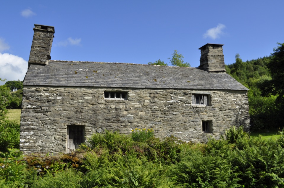
  • Climb through gates, stiles and fields past the ruins of Carreg yr Ast Isaf and Carreg yr Ast Uchaf and on by Ffriddwen.
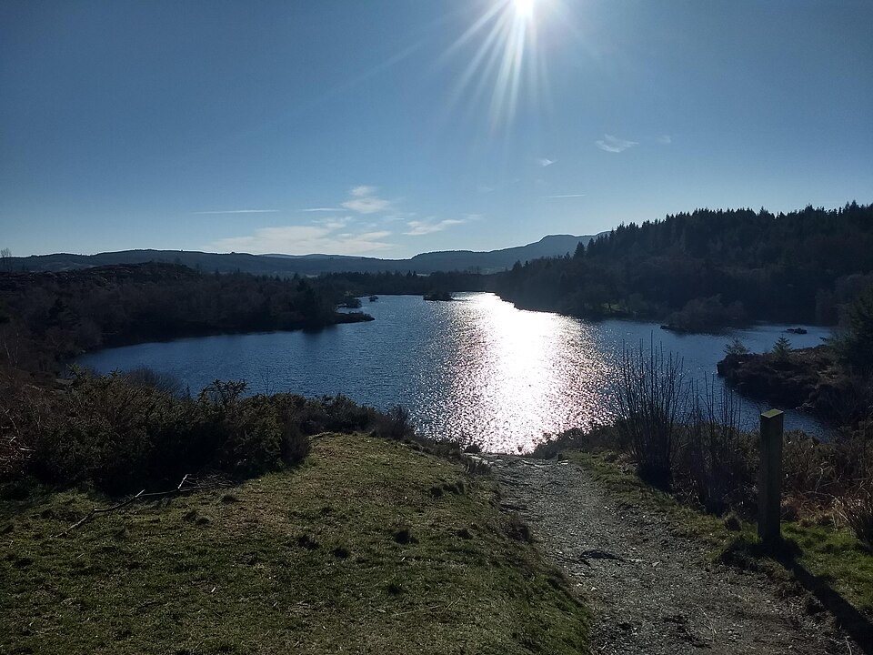
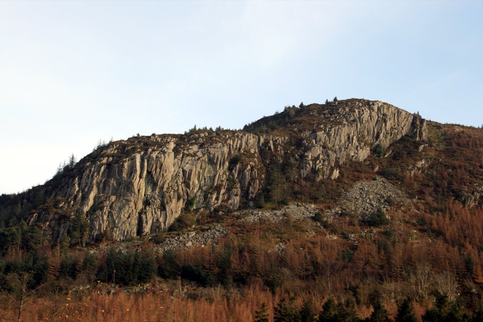
  • Reach the high point at about 350 m (1,148 ft), the payoff of the day, with views toward Snowdon and down Dyffryn Conwy.
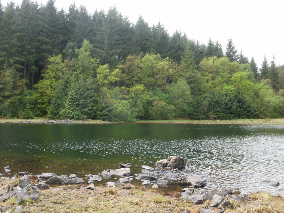
  • Drop past the ruins of Hwylfa Cottage and a disused quarry, then follow a track through Coed Maen Bleddyn, a mix of conifer and broadleaf woodland with one notably fine beech.
  • Cross open farmland by Bryn Eithin, pass Tomen Castell castle mound, then a wet section, and return on a single-track road, the B4406 verge and hay meadows.
Terrain and difficultyRated moderate and it earns it.

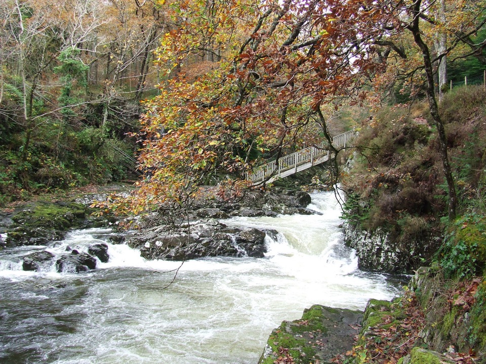
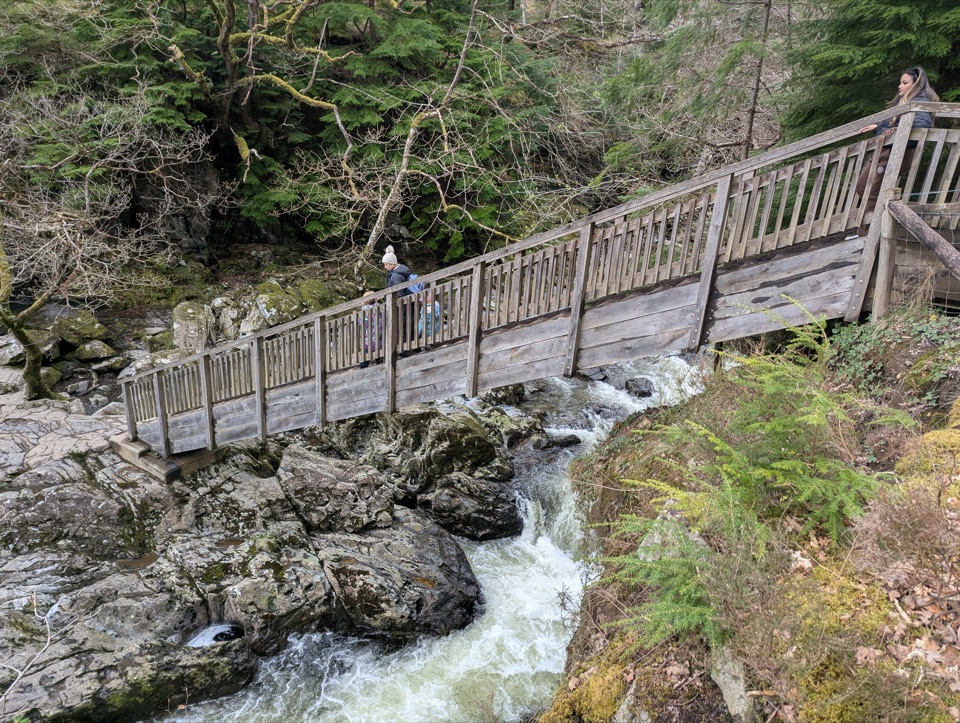
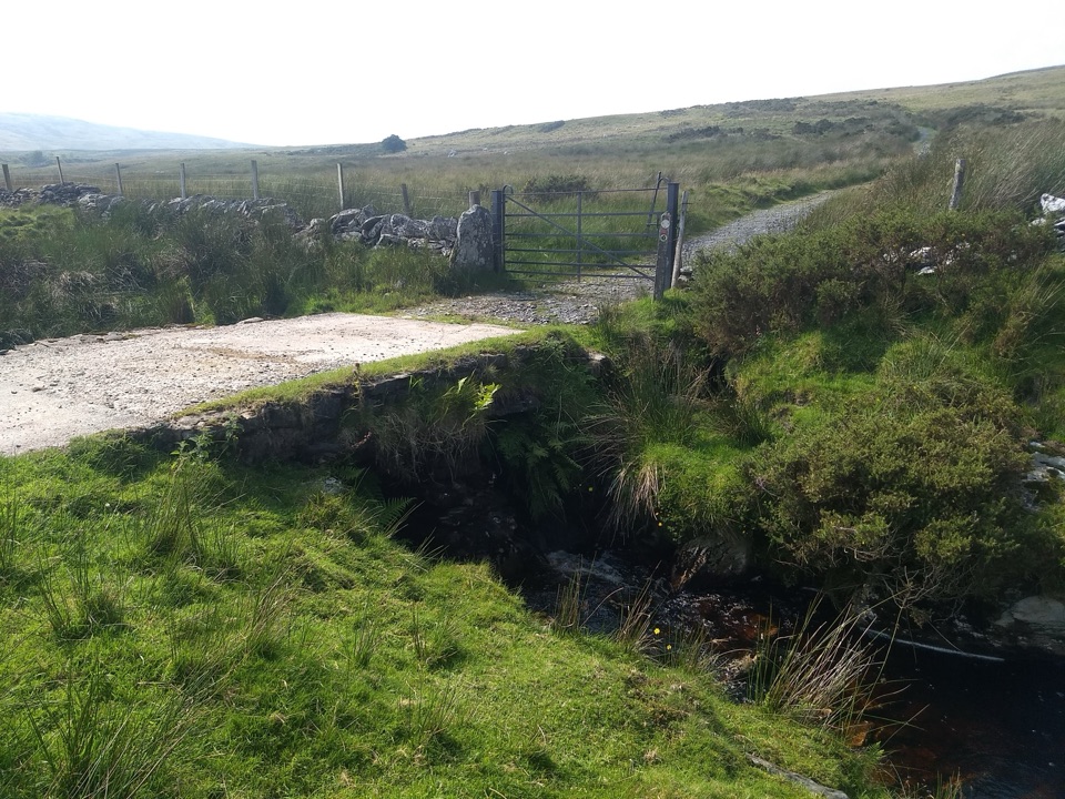
Rated moderate and it earns it. Expect steep climbs, uneven ground and boggy sections, small stream crossings on stone bridges and stepping ground, and a steady tally of gates, stiles and rough field paths. Boots with ankle support and waterproof socks or gaiters are sensible. Navigation is straightforward if you keep track of the field sequence, but faint paths mean it pays to check the map at each gate. The steep climbs and uneven terrain make this route unsuitable for wheels and pushchairs.

Parking, access and dogsFrom the A5 between Betws-y-Coed and Corwen, turn onto the B4406 toward Penmachno, then right…

From the A5 between Betws-y-Coed and Corwen, turn onto the B4406 toward Penmachno, then right immediately after the first crossroads and follow through the first car park down into the Ty'n y Coed car park. The walk begins from the lay-by opposite Plas Eldon, near grid reference SH80519. Take care walking the verge. Dogs are welcome but must be kept on leads. Buses from Betws-y-Coed serve the area if you would rather not drive.

If you want something shorterThe area sits close to Tŷ Mawr Wybrnant, and the separate short Tŷ Mawr Wybrnant and Cwm…

The area sits close to Tŷ Mawr Wybrnant, and the separate short Tŷ Mawr Wybrnant and Cwm Wybrnant walk is a much gentler option on a tighter schedule or with young children. It is a different route from a different start, not a shortcut of this loop.

Wildlife

Wildlife in Eryri

All Eryri wildlife maps

Sighting maps show where each species has been reported across Eryri. Wildlife moves, so no sighting is guaranteed.

Keep exploring

Near Ty'n y Coed Uchaf and Cwm Eidda Walk

See it all on the map

Trails that start nearby

Places near the trailhead

Parkwolf’s Eryri ranking

Top-rated trails in Eryri

All 120 trails
  1. 1Yr Wyddfa Pyg Track and Miners’ Track LoopChallenging · 12.1 km
  2. 2Llanberis PathChallenging · 14.5 km
  3. 3Pyg TrackChallenging · 11 km
  4. 4Miners’ TrackChallenging · 12.9 km
  5. 5Cwm Idwal WalkModerate · 4.8 km
  6. 6Watkin PathChallenging · 12.9 km

Take Parkwolf to Eryri.

The audio tour guide for the drive, plus offline maps, trails, and wildlife heatmaps for when the signal drops.

4.7 from 8,600+ ratings

Download Parkwolf on the App StoreGet Parkwolf on Google Play