Parking
Ysbyty Ifan car park, grid reference SH842488. Public parking is available on both sides of the bridge in the village; public toilets are east of the bridge.
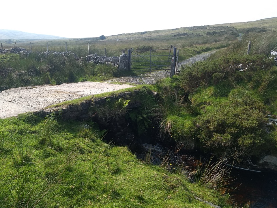
Eryri National Park, WA
Quiet drovers' road loop through Cwm Eidda, with Carneddau views
Overview
Quiet upland walking with views over Dyffryn Conwy and out toward the Carneddau, small stone bridges over the Afon Eidda, and working hill farms rather than tourist infrastructure. This is not a summit day, and the reward is the sense of space and the historical texture of a road once used to move livestock across the hills. Photography works best in the low, angled light of early morning or the last hours of the afternoon, when the moorland ridges and valley below separate out; the woodland section holds soft light better in the middle of the day.
 Parkwolf’s verdictThe payoff
Map & elevation
Plan your hike

The highest, rockiest slopes around here are a summer buffet for grizzly bears.
Eryri Tour Guide
Parkwolf is a GPS audio tour guide for Eryri National Park. As you drive, it chimes in with what’s ahead: hidden gems, upcoming stops, history, geology, and wildlife, right through your car’s speakers.
Recorded for this area
The Drovers' Road“A quiet track above Ysbyty Ifan used to be a busy road, just without engines. Drovers walked livestock along it from as far away as the Llŷn Peninsula, heading for markets in England.”
Plays on the road 0.9 km from the trailhead in the Parkwolf Eryri Tour Guide.
More stories near here in the app
“Fantastic app with many points of information… It’s great to just turn on while you’re driving and it gives you an audio tour of the national Park. We love it!!!!”


Trail guide
A circular walk of about 8 km (5 miles) from Ysbyty Ifan village, climbing out of the Conwy valley onto the upland pastures and moorland of Cwm Eidda before dropping back through woodland to the start. Allow 3 to 4 hours at a practical pace with stops for photos, gates and boot-scraping. Cumulative climbing is in the region of 280 to 300 m, spread over several steady pulls rather than one long ascent.
Surfaces run from village lanes and short stretches of tarmac to rough farm tracks and open moorland. Expect uneven ground, steep pitches, boggy patches, and a number of gates and stiles. Rated moderate in good conditions and noticeably harder after rain, when the wet ground and rough tracks slow progress. The real friction is route-finding across open ground where the line is not always obvious underfoot, so carry a map and know how to use it. Waterproof boots are worth it in most seasons. The walk is not suitable for pushchairs or wheelchairs.
This is an off-the-beaten-track route. Even on fine weekends you may see only farm traffic and a few other walkers, which is much of the appeal. If you want a slightly longer alternative in the same area, the Ty'n y Coed Uchaf and Cwm Eidda walk covers similar country.
Dogs are welcome on leads. The route crosses working farmland and open moorland, so keep dogs under close control near livestock and shut every gate behind you. Park at the Ysbyty Ifan car park (grid reference SH842488); there is public parking on both sides of the bridge in the village, with public toilets east of the bridge.
Wildlife
 77 sightingsGrey HeronMost seen around 7 AMSighting map
 17 sightingsTawny OwlMost seen around 6 AMSighting map
 32 sightingsCommon RavenMost seen around 8 AMSighting map
 21 sightingsGreat Spotted WoodpeckerMost seen around 7 AMSighting map
 18 sightingsEuropean RabbitMost seen around 7 AMSighting map
 161 sightingsViviparous LizardMost seen around 10 AMSighting map
Sighting maps show where each species has been reported across Eryri. Wildlife moves, so no sighting is guaranteed.
Keep exploring
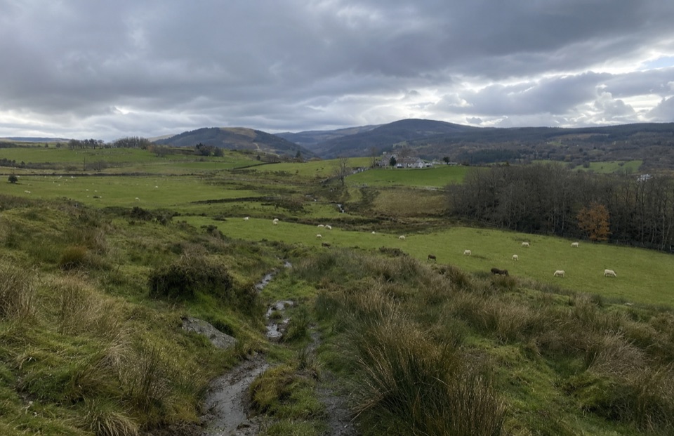 ModerateTy'n y Coed Uchaf and Cwm Eidda Walk8 km · 3.5 hr · 5.3 km awayFarm ruins, boggy uplands and Snowdon views on a five-mile loop
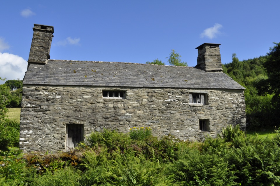 EasyTŷ Mawr Wybrnant and Cwm Wybrnant Walk1.6 km · 30 min · 8 km awayAn easy mile loop past the birthplace of the Welsh Bible
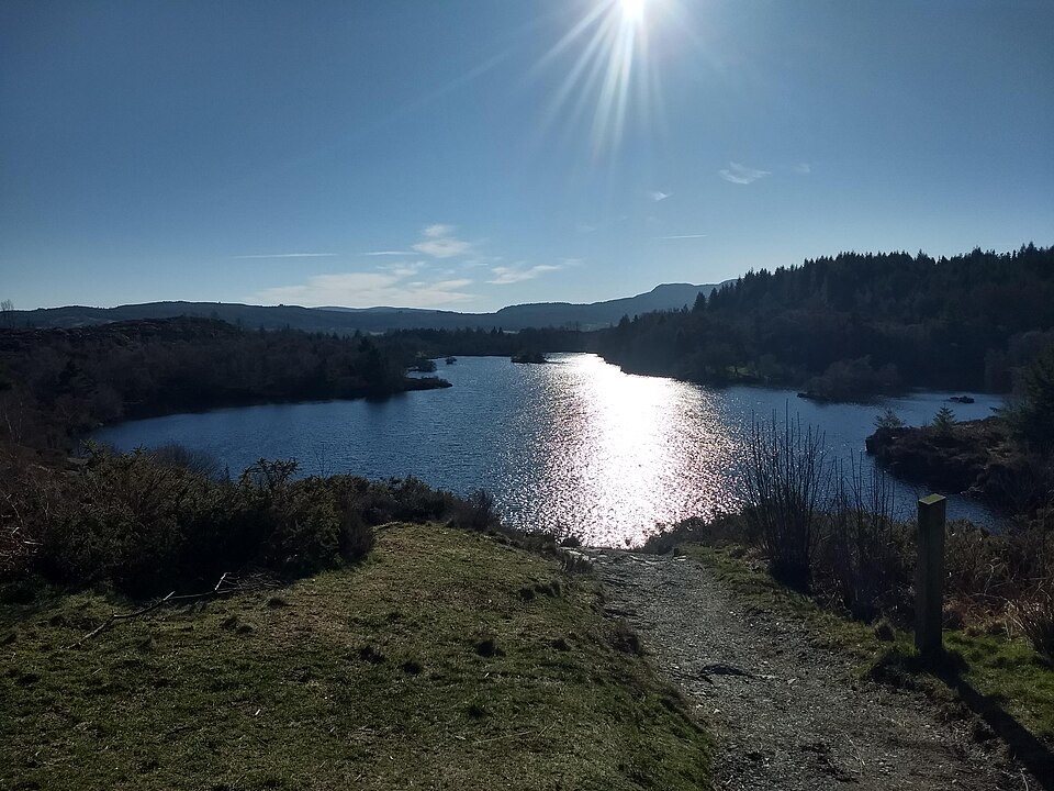 ChallengingLlyn Elsi Walk6.3 km · 2.5 hr · 9.1 km awaySteep forest climb from the village to a quiet island-dotted reservoir
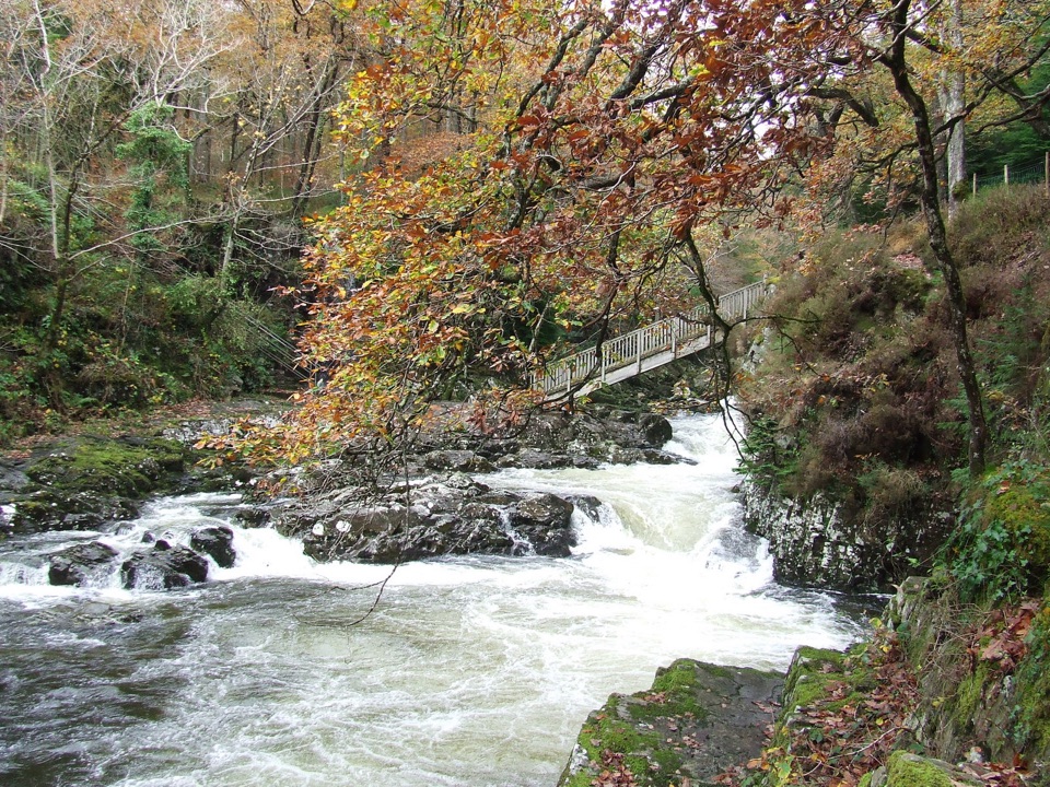 EasyBetws-y-coed Bridges3.6 km · 45 min · 9.2 km awayTwo river bridges, riverside woods and a village loop in 45 minutes
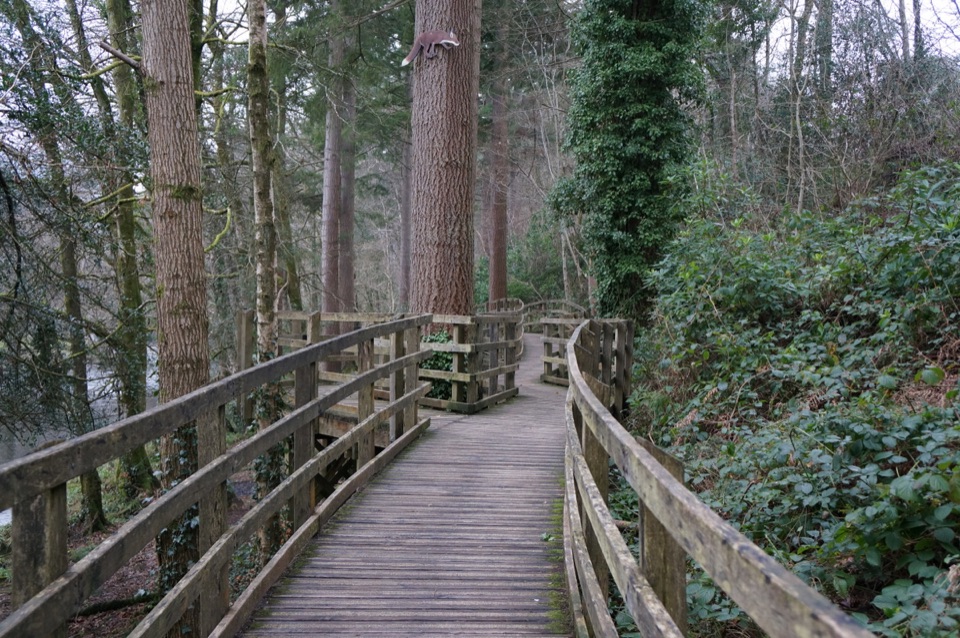 EasyCoed Tan Dinas Walk1.1 km · 30 min · 9.5 km awayRiver boardwalk, tall Douglas firs, picnic spot, all in 30 minutes
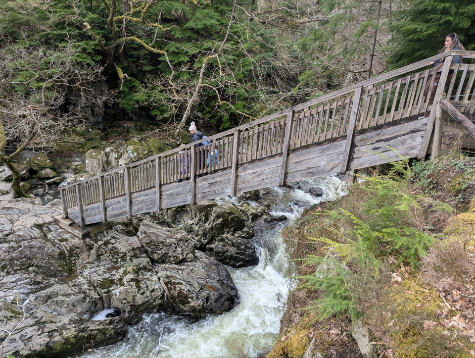 ModerateAfon Llugwy Riverside Walk2.4 km · 1.3 hr · 9.5 km awayRiverside loop through tall Douglas firs to the historic Miners' Bridge
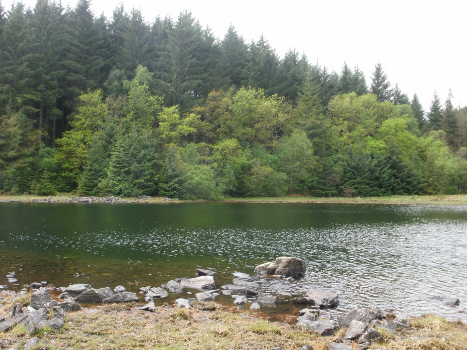 ChallengingLlyn Parc Walk6.9 km · 2.3 hr · 9.5 km awayStrenuous 4.3-mile forest loop past a viewpoint, lake and mine gorge
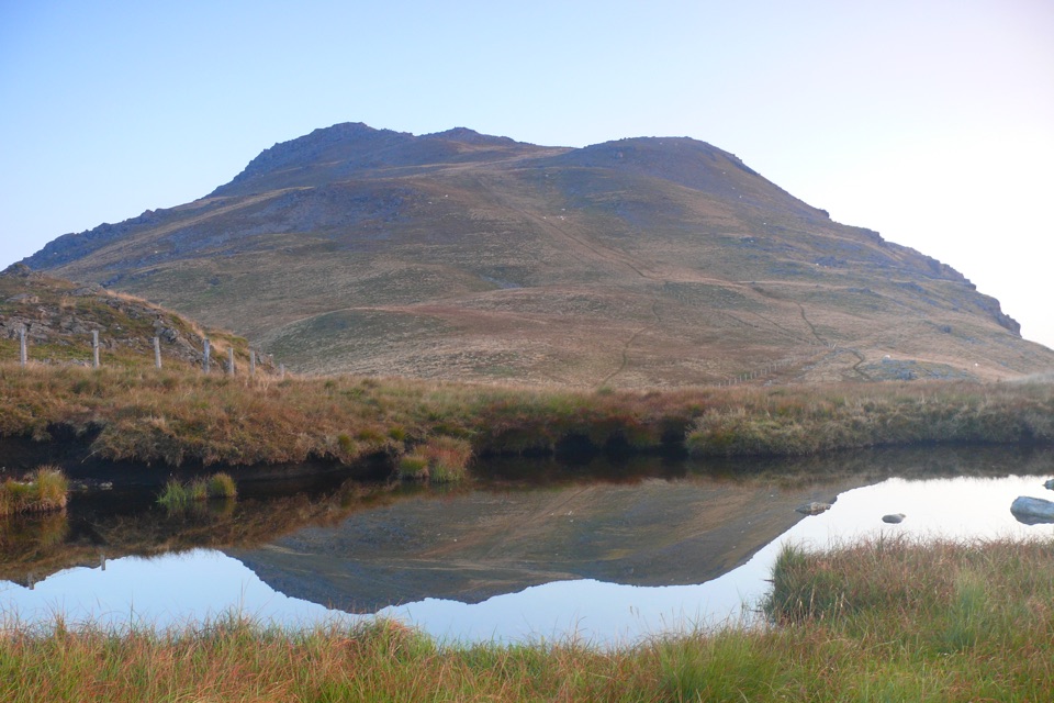 ChallengingArenig Fawr from Arenig12.9 km · 5.5 hr · 9.7 km awayRemote 8-mile loop to a lakeside bothy, trig point and B-17 memorial
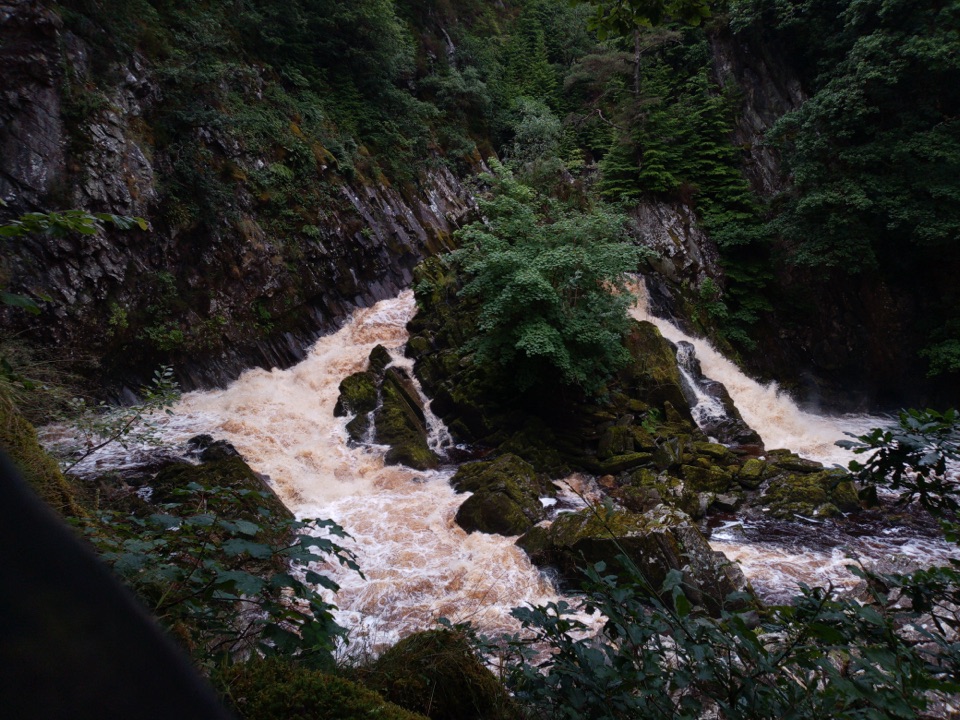 Sight · 5.8 km awayConwy FallsA rushing gorge waterfall wrapped in ancient woodland
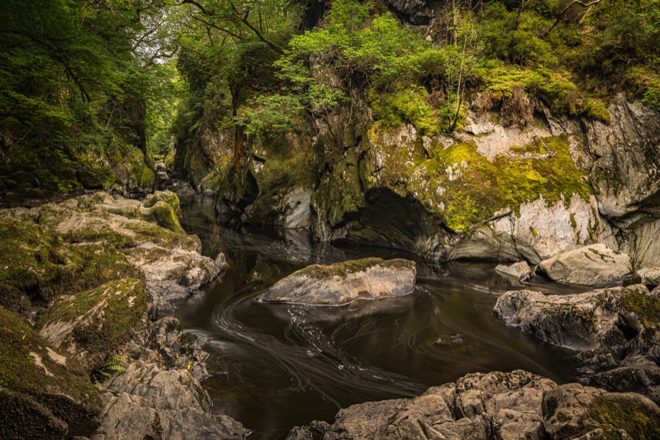 Sight · 6.9 km awayFairy Glen (Ffos Anoddun)Mossy rock gorge where the Conwy squeezes through wooded rapidsSight · 8.1 km awayTŷ Mawr WybrnantA quiet Tudor farmhouse tied to the Welsh Bible's defining translation
 Sight · 9.1 km awayBetws-y-CoedA forest-framed village of bridges, rivers, and Victorian character
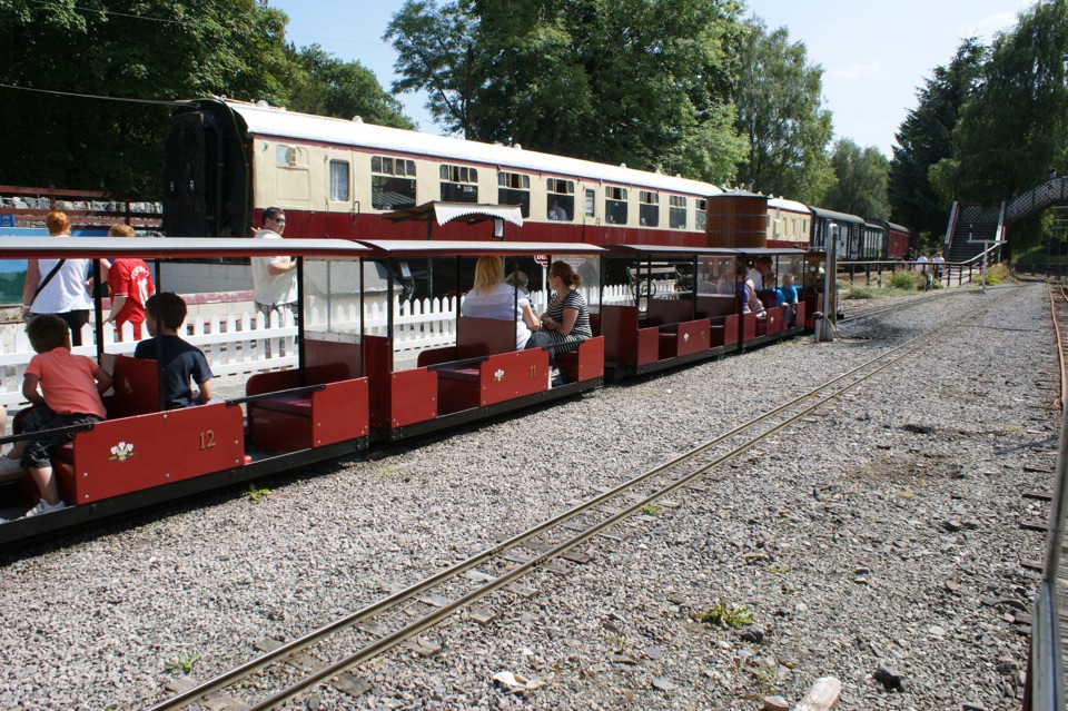 Sight · 9.1 km awayConwy Valley Railway MuseumMiniature trains and railway history beside Betws-y-Coed station
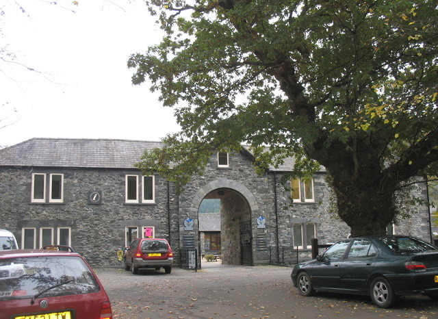 Visitor center · 9.2 km awayBetws-y-Coed Information CentreA practical base for maps, walks, and mountain-day know-how
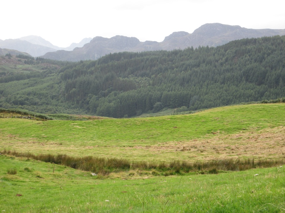 Sight · 9.4 km awayGwydir Forest ParkWoodland lakes, old mines, and big views around Betws-y-Coed
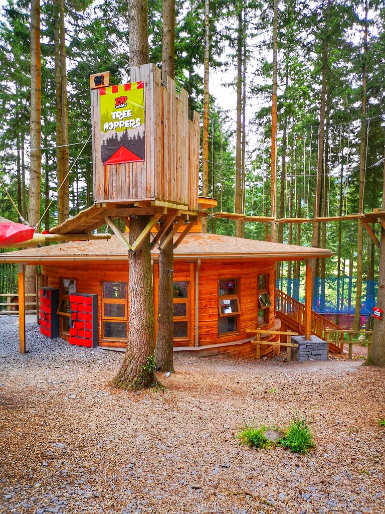 Sight · 9.5 km awayZip World Betws-y-CoedSix woodland adventures, led by a surprisingly thrilling alpine coaster.
Parkwolf’s Eryri ranking
The audio tour guide for the drive, plus offline maps, trails, and wildlife heatmaps for when the signal drops.




