Pros & cons
PROS
- Green Lake’s dramatic landslide geology adds a unique payoff
- Grebe Valley Viewpoint delivers big vistas with easy access for photos
CONS
- Lake-edge sections can flood, forcing slow tussock detours
- Borland Road can close after storms, complicating access
- No cell coverage and limited emergency access increase commitment
Park at roadside pullouts near Borland Bivvy/Saddle on Borland Road or at access points by Lake Monowai. Gravel road; closures possible after storms.
Remote, muddy, and often wet underfoot; lake-edge flooding and river crossings after rain; winter snow/ice; no cell coverage; limited emergency access; hunting occurs in the area (not within 500 m of Borland Road).
What to expect
This is a true Fiordland backcountry outing: a remote, mostly unformed tramping route through beech forest, tussock, and a glacially carved valley with big sky and bigger weather. Expect roughly 10 miles (16 km) one way and 6–8 hours of hiking for the main through-route between Borland Road (near Borland Bivvy/Saddle) and the Lake Monowai side. The path is generally marked but often muddy, with sections of bog, occasional river or wet-foot crossings, and a steeper forested climb on the final approach to Green Lake.
Highlights
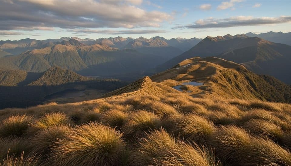
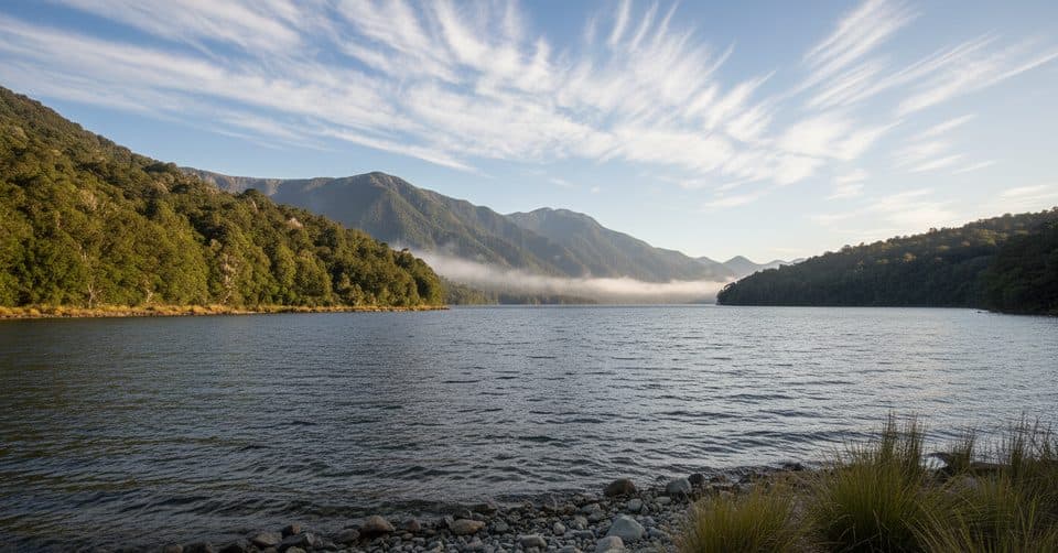
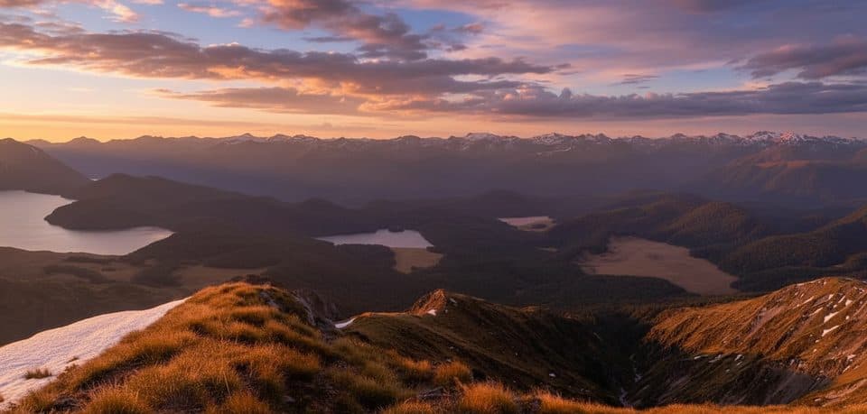
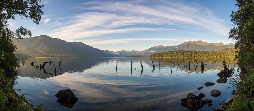
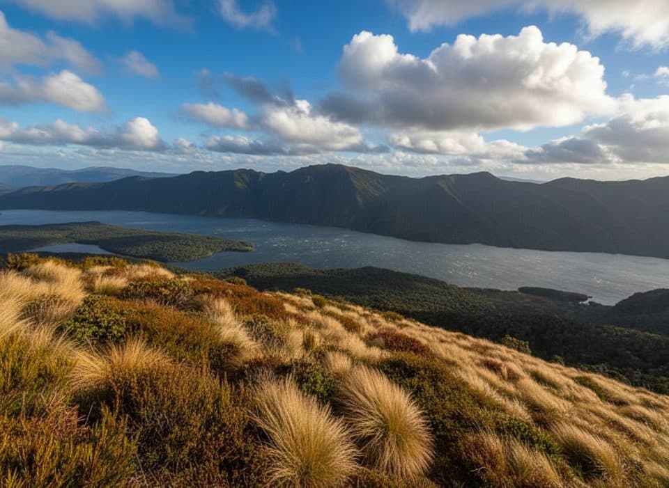
The Grebe Valley Viewpoint off Borland Road frames the river’s meanders, surrounding peaks, and the wide U-shaped valley—worth a pause for photos in soft morning or late-day light. The marquee feature is Green Lake, formed by an enormous landslide about 12,000 years ago; it’s a calm, forest-fringed basin with a hut nearby and sweeping mountain reflections when the wind drops. Keep an eye out for native birdlife and, in season with permits, hunters seeking red deer (hunting is not allowed within 500 m of Borland Road).
Difficulty and who it’s for
This is best for experienced trampers comfortable with variable conditions, occasional brief scrambles, and self-reliance. Navigation is straightforward in good visibility along the main route, but the remoteness, frequent mud, and Fiordland’s famous rain keep the difficulty firmly in the moderate–hard camp. If you want a groomed, social trail, look elsewhere—this one’s about solitude and wild character.
Conditions and caveats
Sections near Green Lake can flood when levels are high, pushing you into tussocky detours. Winter can bring snow, ice, and trickier crossings. There’s no cell coverage and only limited emergency access along Borland Road or in the valley. Expect seasons of road closures or post-storm blockages on the gravel approach.
Logistics
Access is most common from Borland Saddle/Borland Bivvy or the Lake Monowai side, and you can tailor an out-and-back or point-to-point. Green Lake Hut makes a scenic overnight stop; bring hut tickets/passes if staying. No permit is needed to walk the track itself; separate permits are required for hunting.
Tips
Waterproof boots and gaiters pay off in the mud. Carry a map and be ready for rapid weather shifts. If lake levels are up, allow extra time. For photos with fewer people, hit the Grebe Valley Viewpoint early or late.
Best time to hike
Late spring through autumn (November–April) offers longer daylight and more stable conditions. Winter is doable for skilled parties but expect snow/ice, cold river crossings, and higher risk. Regardless of season, check the status of Borland Road before you commit.
Wildlife on this trail
Near Grebe Valley Track
All places →All trails →
Milford Sound / PiopiotahiIconic fiord of sheer cliffs, thunderous falls, and frequent wildlifeParking · Restroom
Mitre PeakNew Zealand’s most iconic fiord peak rising straight out of the sea
Mitre Peak ViewpointThe classic Milford Sound shot of Mitre Peak across calm waterParking · Scenic Viewpoint
Doubtful Sound / PateaRemote, hushed fiord with waterfalls and dolphins, reached by tour onlyScenic Viewpoint
Milford TrackFour days of rainforest, alpine pass, and waterfalls to Milford SoundChallenging · 33.2 mi · 22 hr
Routeburn TrackA classic 20 mile alpine traverse with huts, lakes, and big views.Challenging · 20 mi · 24 hr
Kepler TrackA classic 60 km loop: airy ridges, beech forests, and lake shores.Challenging · 37.3 mi · 30 hrKepler Track to Mount LuxmoreForest-to-alpine sprint with Fiordland’s best bang-for-buck viewsChallenging · 11 mi · 6.5 hr