Pros & cons
PROS
- Rock Bivvy option to split the journey en route to the hut
- High chance of solitude on a true backcountry-feeling track
CONS
- Access depends on Borland Road status—closures can derail plans
- Wet, muddy sections and river crossings slow progress significantly
Access via Borland Road; park near the trail access by Borland Lodge. Check DOC’s Borland Road status before traveling.
Advanced, remote track with wet, muddy sections and river crossings; unreliable cell coverage; check Borland Road alerts and carry full backcountry kit and a PLB.
What to expect
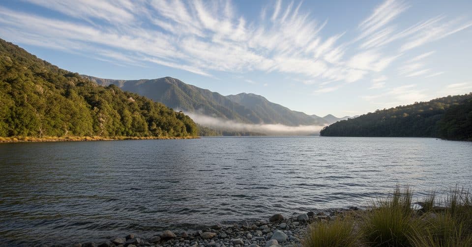
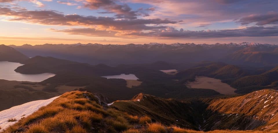
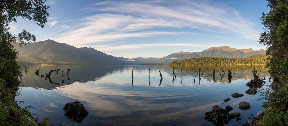
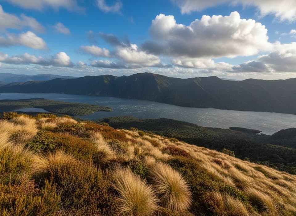
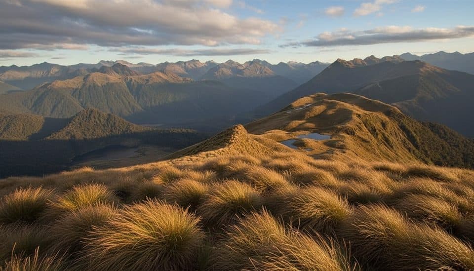
This is Fiordland at its rawest: an advanced, remote tramping track through dense southern beech forest, mossy undergrowth, and river valleys en route to the North Borland Hut. It’s quiet, uncompromising country with minimal infrastructure and a strong sense of isolation.
Distance, timing, and difficulty
Plan on about 12 km one way (roughly 24 km/15 miles total) on an out-and-back route, with 6–8 hours to reach the hut for experienced trampers. Surfaces are natural and often rough—roots, mud, wet sections, and creek/river crossings—with occasional steep pinches. DOC classifies this as an Advanced tramping track; it’s not a beginner outing.
Trail character and highlights
Expect classic Fiordland forest and river valley travel rather than groomed scenery stops. The payoff is the remoteness and the hut destination itself. There’s also an optional Rock Bivvy on the way that some parties use to break up the journey. Solitude is the norm here—if you’re after crowds, this isn’t your track.
Logistics and access
Access is via Borland Road in the Lake Monowai/Borland Road area; the track starts near Borland Lodge. Before you go, check DOC’s current alerts for Borland Road—access closures or restrictions do happen and can change plans quickly. No dogs are permitted.
Safety and preparedness
Treat this as true backcountry. Navigation skills, solid fitness, and full self‑sufficiency are essential. Expect wet and cold conditions any time of year; carry waterproof layers, warm clothing, extra food, and a personal locator beacon. Cell coverage is unreliable. If staying overnight, sort DOC hut tickets/fees as required and confirm current hut information in advance.
Best time to hike
Summer and autumn offer more stable weather and longer daylight, which helps on a long day to the hut. Even then, Fiordland is famously changeable—start early and be prepared for rain, slick roots, and swollen creeks after storms.
Near North Borland Hut Track
All places →All trails →
Milford Sound / PiopiotahiIconic fiord of sheer cliffs, thunderous falls, and frequent wildlifeParking · Restroom
Mitre PeakNew Zealand’s most iconic fiord peak rising straight out of the sea
Mitre Peak ViewpointThe classic Milford Sound shot of Mitre Peak across calm waterParking · Scenic Viewpoint
Doubtful Sound / PateaRemote, hushed fiord with waterfalls and dolphins, reached by tour onlyScenic Viewpoint
Milford TrackFour days of rainforest, alpine pass, and waterfalls to Milford SoundChallenging · 33.2 mi · 22 hr
Routeburn TrackA classic 20 mile alpine traverse with huts, lakes, and big views.Challenging · 20 mi · 24 hr
Kepler TrackA classic 60 km loop: airy ridges, beech forests, and lake shores.Challenging · 37.3 mi · 30 hrKepler Track to Mount LuxmoreForest-to-alpine sprint with Fiordland’s best bang-for-buck viewsChallenging · 11 mi · 6.5 hr