Parking
Start behind Cut Bank Ranger Station. No trail-specific parking arrangement is documented; confirm permission to park and hike with Glacier National Park.
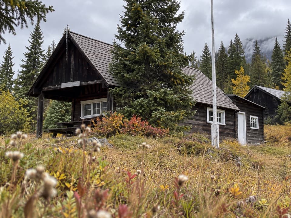
Glacier National Park, MT
A short climb along a remnant of the old east boundary.
Overview
Map & elevation
Plan your hike

The highest, rockiest slopes around here are a summer buffet for grizzly bears.
Glacier Tour Guide
Parkwolf is a GPS audio tour guide for Glacier National Park. As you drive, it chimes in with what’s ahead: hidden gems, upcoming stops, history, geology, and wildlife, right through your car’s speakers.
See the Glacier audio tourRecorded for this trailhead
Cut Bank Trailhead and Campground“You're approaching Cut Bank Trailhead and Campground, a small base for a long day in the creek valley.”
Plays as you drive up to this trailhead in the Parkwolf Glacier Tour Guide.
More stories near here in the app
“Our first time to glacier and we used the audio portion for Going to the Sun Road. Wonderful information with perfect advice of what to see and do along the road.”


Trail guide
Milk River Ridge Boundary Trail is a 1.86-mile out-and-back from behind Cut Bank Ranger Station toward Milk River Ridge. The mapped footway runs 0.93 mile each way and climbs about 590 feet on the outward leg. At the upper end, it reaches open meadow with views toward the Cut Bank Creek drainage and the plains. Allow about 1 to 1.5 hours for the return. This is a niche hike for people interested in lesser-known routes and park history.
Most of the elevation comes in a short distance. The mapped line and elevation profile show a sustained uphill approach; the tread and wayfinding details are not documented well enough to promise a developed path. The stored route ends at the mapped boundary segment; turn around there and retrace the way down.
This is a remnant of the former east-side boundary trail, starting directly behind the ranger station. Public visitor access and current maintenance have not been confirmed. Contact Glacier National Park before setting out. Pets are prohibited on park trails.
Wildlife
 404 sightingsGrizzly BearMost seen around 6 AMSighting map
 11 sightingsWolverineMost seen around 8 PMSighting map
 1,173 sightingsMountain GoatMost seen around 6 AMSighting map
 1,000 sightingsBighorn SheepMost seen around 6 AMSighting map
 395 sightingsMooseMost seen around 6 AMSighting map
 506 sightingsBlack BearMost seen around 8 PMSighting map
Sighting maps show where each species has been reported across Glacier. Wildlife moves, so no sighting is guaranteed.
Keep exploring
 ModerateMedicine Grizzly Lake Trail12.9 mi · 7.5 hr · 0.4 mi awayA long creekside walk to a lake beneath the Continental Divide.
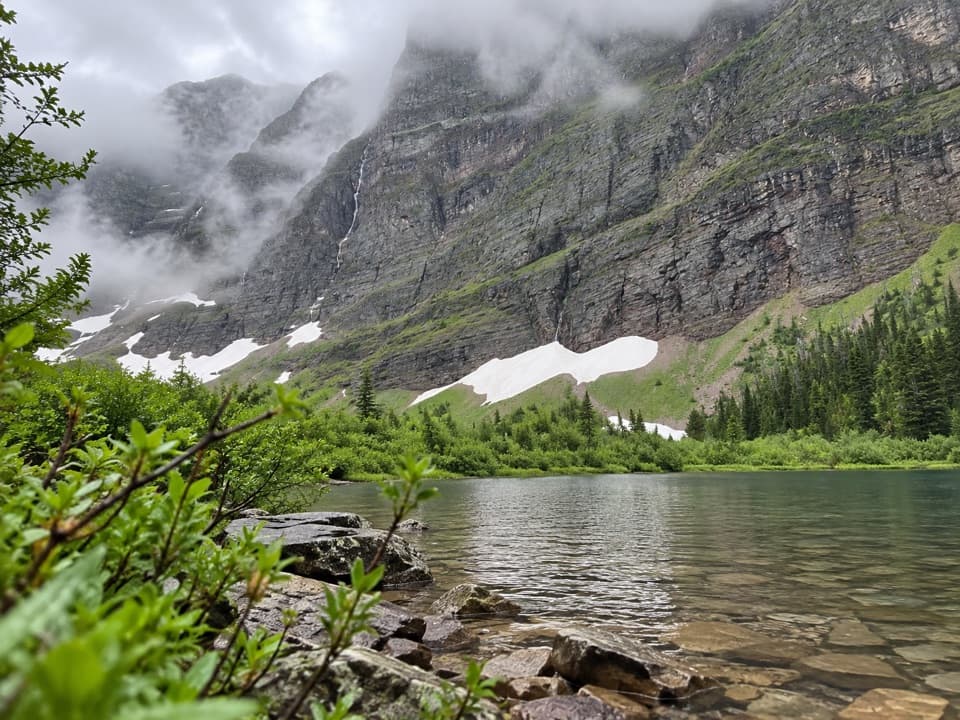 ModerateMorning Star Lake Trail13.2 mi · 8 hr · 0.4 mi awayA flower meadow leads to a lake beneath towering cliffs.
 ChallengingMad Wolf Boundary Trail4.2 mi · 4.5 hr · 0.4 mi awayA creek ford and steep climb lead to alpine meadows.
 ChallengingTriple Divide Pass Trail14.4 mi · 8 hr · 0.4 mi awayA long climb to a saddle beneath a famously divided peak.
 ChallengingCut Bank Pass Trail5.1 mi · 4.5 hr · 7.4 mi awayA steep alpine traverse down to the Nyack backcountry.
 ChallengingDivide Creek Trail2.5 mi · 2.5 hr · 7.6 mi awayA hard-to-find old road through burned forest to Divide Creek.
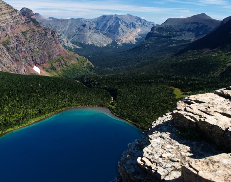 ChallengingDawson–Pitamakan Pass Loop17.4 mi · 10 hr · 7.9 mi awayTwo alpine passes and a narrow ridge make this a full day.
 ChallengingDawson Pass Trail13 mi · 8 hr · 7.9 mi awayA steep climb above No Name Lake ends at the Divide.
 Campground · 0.4 mi awayCut Bank CampgroundA quiet, tent-focused base with east-side mountain views.
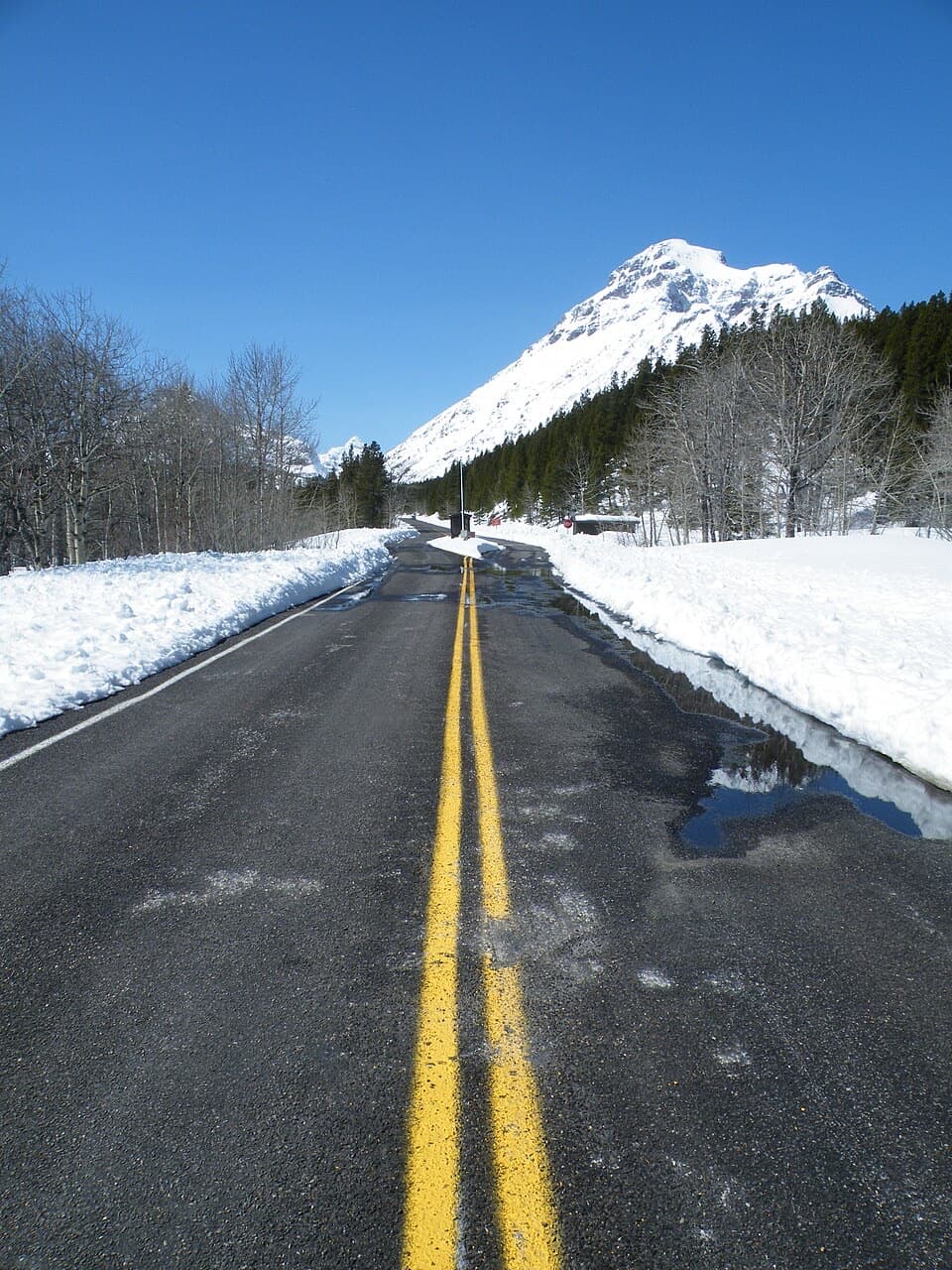 Entrance station · 7.3 mi awayTwo Medicine Entrance StationA separate entrance for Two Medicine's lake and trail area.
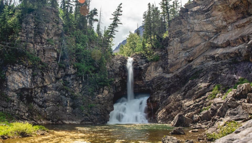 Sight · 7.5 mi awayRunning Eagle FallsSeasonal flow changes which tier of the falls shows.
 Campground · 8.3 mi awayTwo Medicine CampgroundA shady lakeside base with hikes starting from camp.
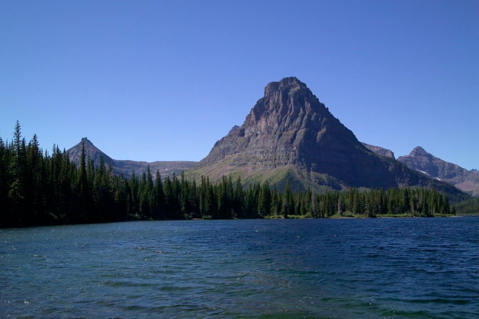 Sight · 8.4 mi awayTwo Medicine LakeA boat ride adds a fresh angle on Sinopah Mountain.
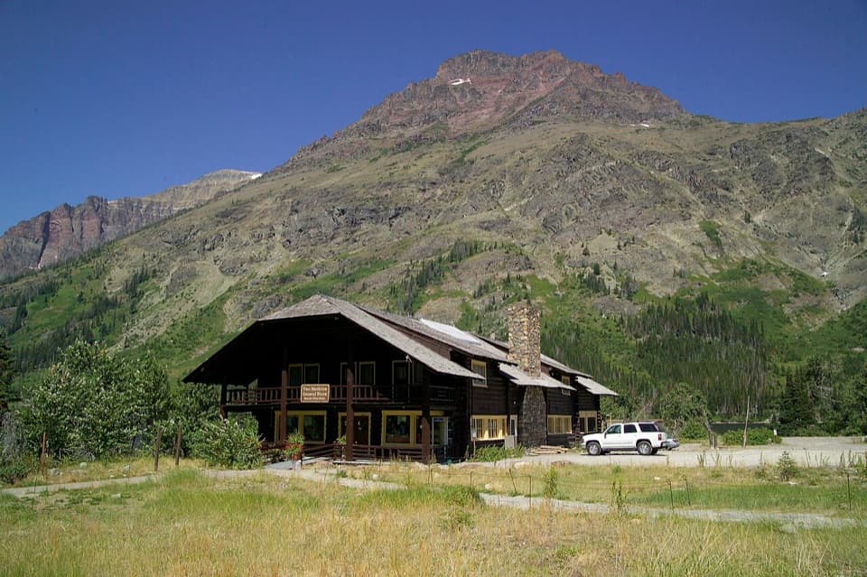 Store · 8.4 mi awayTwo Medicine CampstorePick up supplies in a historic chalet hall beside the lake.
 Beach · 8.6 mi awayParadise PointA short walk to a small beach with striking Two Medicine views.
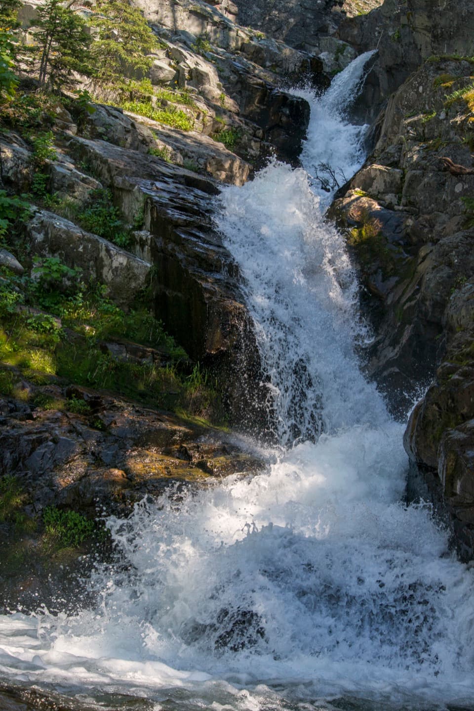 Sight · 8.6 mi awayAppistoki FallsA short waterfall walk with a partly screened view.
Parkwolf’s Glacier ranking

The audio tour guide for the drive, plus offline maps, trails, and wildlife heatmaps for when the signal drops.





