Medicine Grizzly Lake Trail in Glacier National Park

Glacier National Park, MT

Medicine Grizzly Lake Trail

A long creekside walk to a lake beneath the Continental Divide.

Photo: Wikimedia Commons
Length
12.9mi
Time
7.5hr
Elev. change
456ft
Difficulty
Moderate
  • No dogs
  • High point 5,646 ft
  • #72 of 157 in Glacier

Hear the audio tour

Cut Bank Trailhead and Campground

Overview

About Medicine Grizzly Lake Trail

Why go

  • Alternating forest and open meadows lead to a waterfall-framed lake basin.
  • Mostly gentle grades keep this long walk from becoming a steep climb.

Heads up

  • A 12.9-mile round trip takes most of a day, with no shortcut to the lake.

Map & elevation

The route

Loading the Glacier map
Full map
Elevation5,190–5,646 ft
TrailheadCut Bank Trailhead48.60242, -113.38355
Keep this map with you offline in the Parkwolf app

Plan your hike

Before you go

Parking

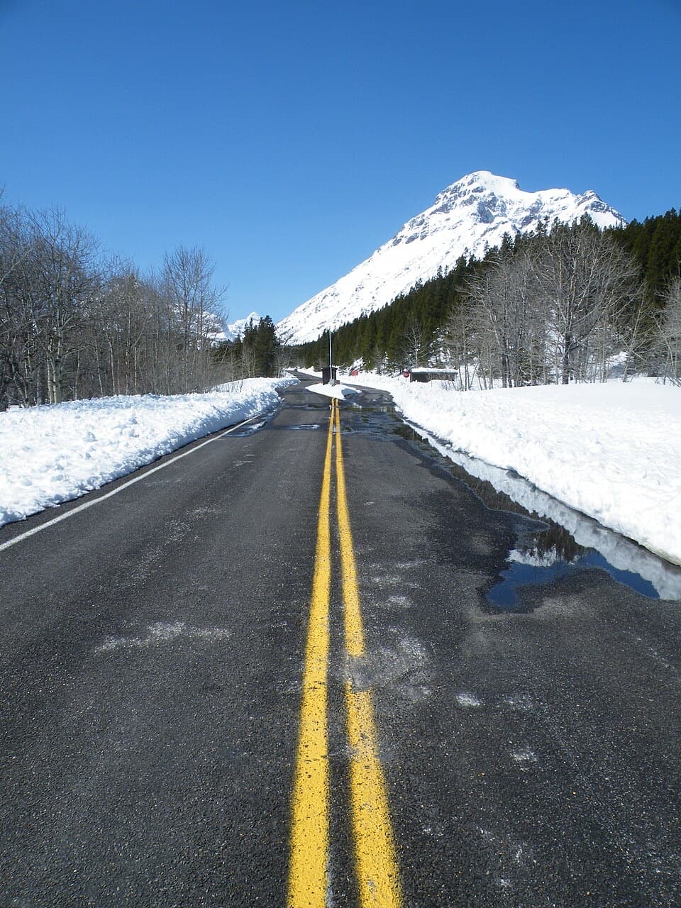
Start at Cut Bank Trailhead beside Cut Bank Campground. From US 89 between Two Medicine and St. Mary, take Cut Bank Road about five miles west to the small roadside lot near the ranger residence; the last stretch is gravel. No parking capacity or fee was verified.

Safety

This is backcountry bear country; Glacier advises staying at least 100 yards from bears and wolves. Pets are not allowed on park trails, in the backcountry, or along undeveloped lake shores.

1 active Glacier alert

  • ClosureTwo Medicine Campground closed for 2026 constructionTwo Medicine Campground is closed throughout 2026 because of construction in the Two Medicine developed area.Official details
Glacier alerts
A park ranger sits on a dash-mounted phone, talking, as Parkwolf’s Tour Guide plays “Army Cutworm Moths: A Grizzly Bear Buffet” on Grand Loop Road below Dunraven Pass in Yellowstone
Parkwolf Tour GuideThe highest, rockiest slopes around here are a summer buffet for grizzly bears.

Glacier Tour Guide

Your drive to Medicine Grizzly Lake Trail, narrated.

Parkwolf is a GPS audio tour guide for Glacier National Park. As you drive, it chimes in with what’s ahead: hidden gems, upcoming stops, history, geology, and wildlife, right through your car’s speakers.

See the Glacier audio tour

Recorded for this trailhead

Cut Bank Trailhead and Campground
0:00 / 0:33
“You're approaching Cut Bank Trailhead and Campground, a small base for a long day in the creek valley.”

Plays as you drive up to this trailhead in the Parkwolf Glacier Tour Guide.

More stories near here in the app

  • A Turtle’s Shell Helps It Through Winter
  • Spring Follows the Melting Snow
  • The Mountains’ Dark Stripe
  • Why Butterflies Gather on Mud
  • 204 audio storiesacross Glacier’s roads, triggered by GPS as you drive
  • Wildlife heatmapsfor Grizzly Bear, Wolverine, Mountain Goat, and 13 more
  • Works offlinemaps, 157 trails, 91 places, and audio download before you lose signal
  • CarPlay readysimple controls built for the drive
★★★★★
“Our first time to glacier and we used the audio portion for Going to the Sun Road. Wonderful information with perfect advice of what to see and do along the road.”
PaisleyParkFanApp Store review
Download Parkwolf on the App StoreGet Parkwolf on Google Play

4.7 from 8,600+ ratings

Trail guide

Hiking Medicine Grizzly Lake Trail

A full day in the Cut Bank backcountryMedicine Grizzly Lake Trail is a 12.9-mile out-and-back from Cut Bank Trailhead, about 6.

Medicine Grizzly Lake Trail is a 12.9-mile out-and-back from Cut Bank Trailhead, about 6.4 miles each way, ending at the lake below Razoredge Mountain. Allow about seven to eight hours with a stop at the shore. The walk is mostly gentle, with a couple of short climbs; the distance and backcountry setting are the real commitment. If you want a high, waterfall-framed lake and have a full day, this one earns its miles. The park's six-mile figure is one way and rounded; the mapped route measures a little over six miles each way.

Along the North ForkThe trail starts in an open meadow with Bad Marriage Mountain to the south, then settles into a…

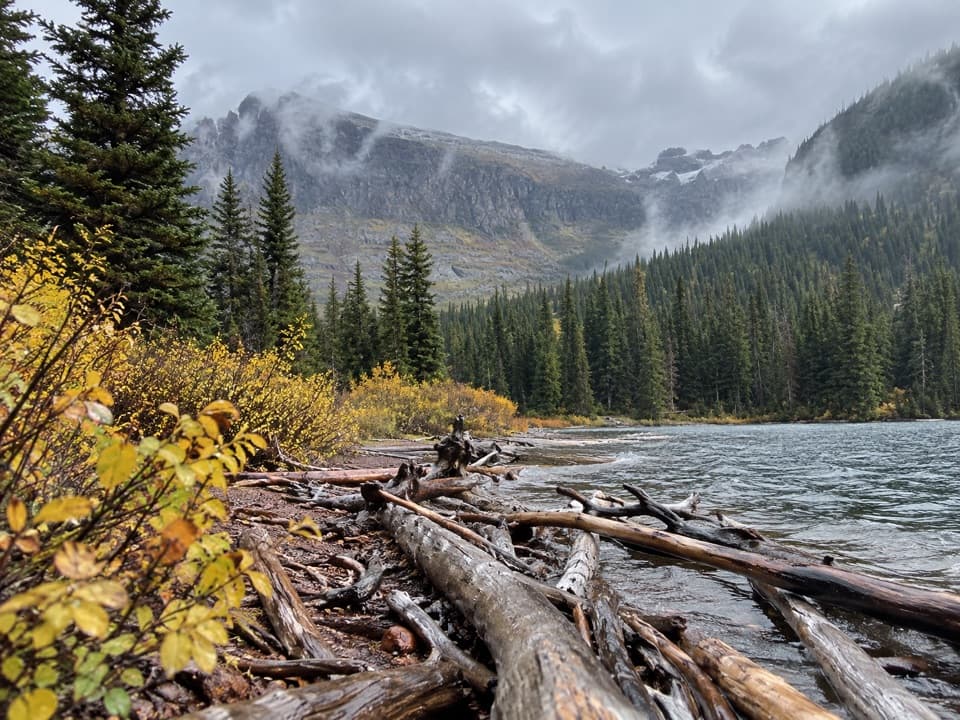
The trail starts in an open meadow with Bad Marriage Mountain to the south, then settles into a long valley walk beside North Fork Cut Bank Creek. Conifer forest and open parks alternate, with willow flats in the creek valley. The grade is mostly easy, though a couple of short climbs break up the level stretches. The willows are moose habitat, so keep an eye on the edges of the valley without counting on a sighting.

Choose the lake forksAround four miles in, take the branch toward Medicine Grizzly rather than the route toward…

Around four miles in, take the branch toward Medicine Grizzly rather than the route toward Morning Star and Pitamakan. Cross Atlantic Creek and pass its backcountry campground. At the next junction, take the lake branch instead of continuing uphill toward Triple Divide Pass. Those forks lead to very different days, so check the signs before you keep walking.

The basin payoffNear mile 5.5, the forest opens into a broad meadow and the lake basin comes into view.

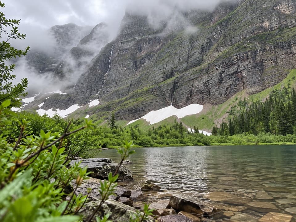
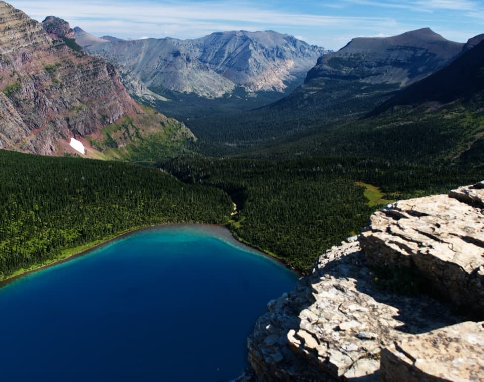
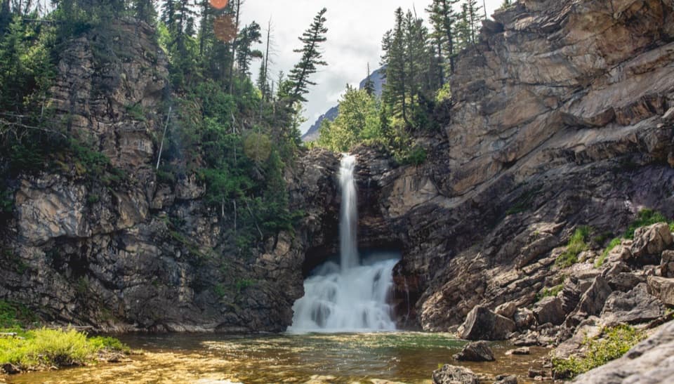
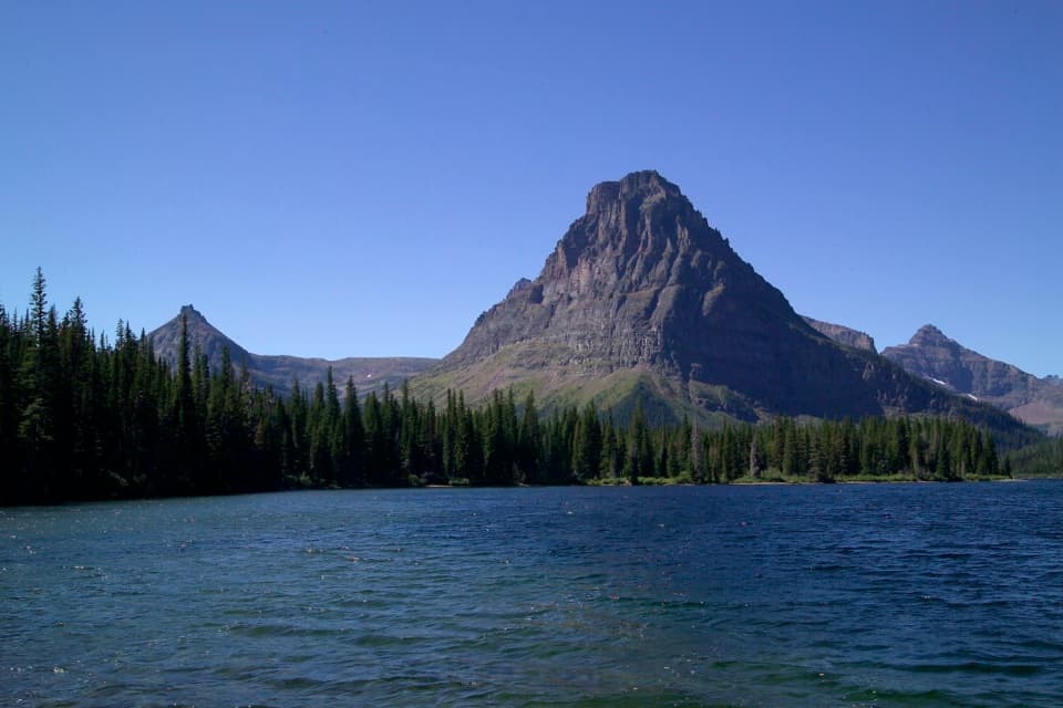
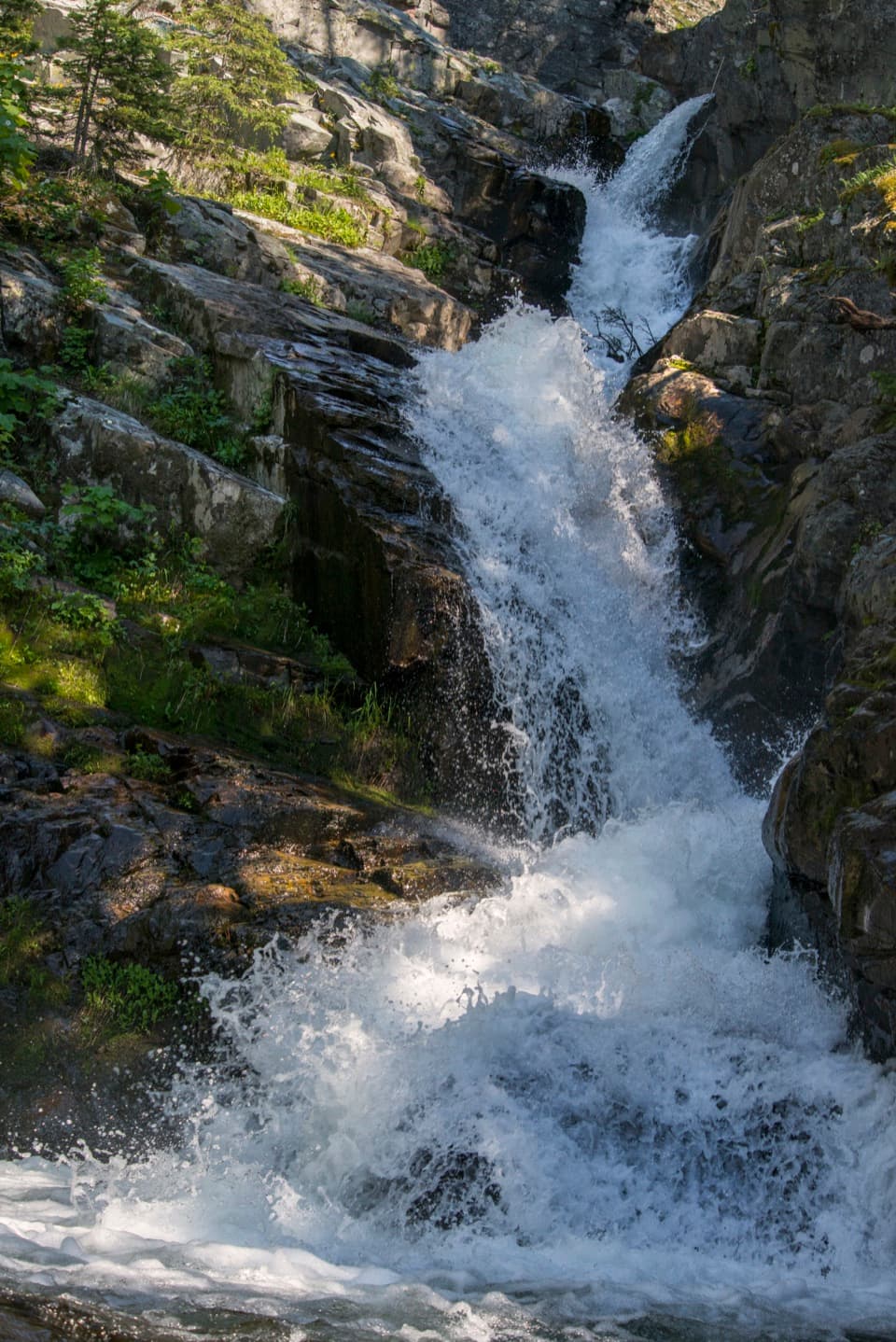
Near mile 5.5, the forest opens into a broad meadow and the lake basin comes into view. The trail reaches the lake's northeastern shore below the Continental Divide. Razoredge Mountain rises above the basin, and at least five waterfalls spill down the surrounding cliffs. From the shore, frame the lake with the falls and headwall; from higher ground, the lake sits small in the much larger valley.

A name from Cut Bank ValleyA local account links the lake's name to the legendary Medicine Grizzly, a bear from Cut Bank…

A local account links the lake's name to the legendary Medicine Grizzly, a bear from Cut Bank Valley. It says Chance Beebe, a Columbia Falls hunter who became one of Glacier's early rangers, killed it. Nearby Triple Divide Peak is a watershed landmark; the familiar three-ocean description has a wrinkle because hydrologists debate whether Hudson Bay drains chiefly to the Arctic or Atlantic basin.

Trailhead and rulesStart at Cut Bank Trailhead beside Cut Bank Campground. From US 89 between Two Medicine and St.

Start at Cut Bank Trailhead beside Cut Bank Campground. From US 89 between Two Medicine and St. Mary, Cut Bank Road runs about five miles west to a small roadside parking area near the ranger residence; the last stretch is gravel. No food or potable-water stop is documented along this backcountry route. Pets are not allowed on Glacier trails, in the backcountry, or along undeveloped lake shores.

Wildlife

Wildlife in Glacier

All Glacier wildlife maps

Sighting maps show where each species has been reported across Glacier. Wildlife moves, so no sighting is guaranteed.

Keep exploring

Near Medicine Grizzly Lake Trail

See it all on the map

Trails that start nearby

Places near the trailhead

Parkwolf’s Glacier ranking

Top-rated trails in Glacier

All 157 trails
  1. 1Highline TrailChallenging · 11.8 mi
  2. 2Grinnell Glacier TrailChallenging · 10 mi
  3. 3Iceberg Lake TrailModerate · 9.6 mi
  4. 4Hidden Lake Overlook TrailModerate · 2.6 mi
  5. 5Avalanche Lake TrailModerate · 5 mi
  6. 6Trail of the CedarsEasy · 0.9 mi

Take Parkwolf to Glacier.

The audio tour guide for the drive, plus offline maps, trails, and wildlife heatmaps for when the signal drops.

4.7 from 8,600+ ratings

Download Parkwolf on the App StoreGet Parkwolf on Google Play