Parking
No lot at either junction. Reach the upper end through the Dawson/Pitamakan route network; the lower end joins Nyack Creek Trail deep in the backcountry. Plan a through-route, not a car-park out-and-back.

Glacier National Park, MT
A steep alpine traverse down to the Nyack backcountry.
Overview
Map & elevation
Plan your hike

The highest, rockiest slopes around here are a summer buffet for grizzly bears.
Glacier Tour Guide
Parkwolf is a GPS audio tour guide for Glacier National Park. As you drive, it chimes in with what’s ahead: hidden gems, upcoming stops, history, geology, and wildlife, right through your car’s speakers.
See the Glacier audio tourMore stories near here in the app
“Our first time to glacier and we used the audio portion for Going to the Sun Road. Wonderful information with perfect advice of what to see and do along the road.”


Trail guide
Cut Bank Pass Trail is a 5.1-mile one-way backcountry traverse from the Dawson/Pitamakan network over Cut Bank Pass to Nyack Creek Trail. It is a point-to-point connector, not a walk from one car park to another. Allow about four to five hours for this segment itself; the steep, rough descent takes longer than the mileage suggests. Choose it as part of a planned through-hike with a clear exit or campsite.
The upper route crosses alpine meadows on Mount Morgan’s north face, with open views across the North Fork Cut Bank Creek drainage. Mountain goats use the cliffs and bighorn sheep have been reported on the alpine slope, though neither is a sure thing.
Beyond Cut Bank Pass, a steep shale path drops toward the saddle between Tinkham Mountain and McClintock Mountain. The route opens into a bowl, then traverses flower meadows and scattered subalpine fir before dropping through avalanche chutes and wet forest to Nyack Creek Trail. The full segment loses about 3,050 feet, so take the rough descent seriously.
Neither endpoint has road access. The upper end joins the Dawson/Pitamakan trail network; the lower end meets Nyack Creek Trail in remote backcountry. Plan a through-route rather than an out-and-back from a lot. Dogs are not allowed on park trails, and any overnight camping in Glacier requires a wilderness permit. High-country snow can linger in early summer and return in fall.
If you want a day hike on the Cut Bank side, Morning Star Lake is a separate 6.6-mile round trip from Cut Bank Trailhead. It uses the broader approach but does not cross Cut Bank Pass.
Wildlife
 404 sightingsGrizzly BearMost seen around 6 AMSighting map
 11 sightingsWolverineMost seen around 8 PMSighting map
 1,173 sightingsMountain GoatMost seen around 6 AMSighting map
 1,000 sightingsBighorn SheepMost seen around 6 AMSighting map
 395 sightingsMooseMost seen around 6 AMSighting map
 506 sightingsBlack BearMost seen around 8 PMSighting map
Sighting maps show where each species has been reported across Glacier. Wildlife moves, so no sighting is guaranteed.
Keep exploring
 EasyTwin Falls Trail7 mi · 4 hr · 4.8 mi awayTwo cascades, with a boat shortcut for a quicker approach.
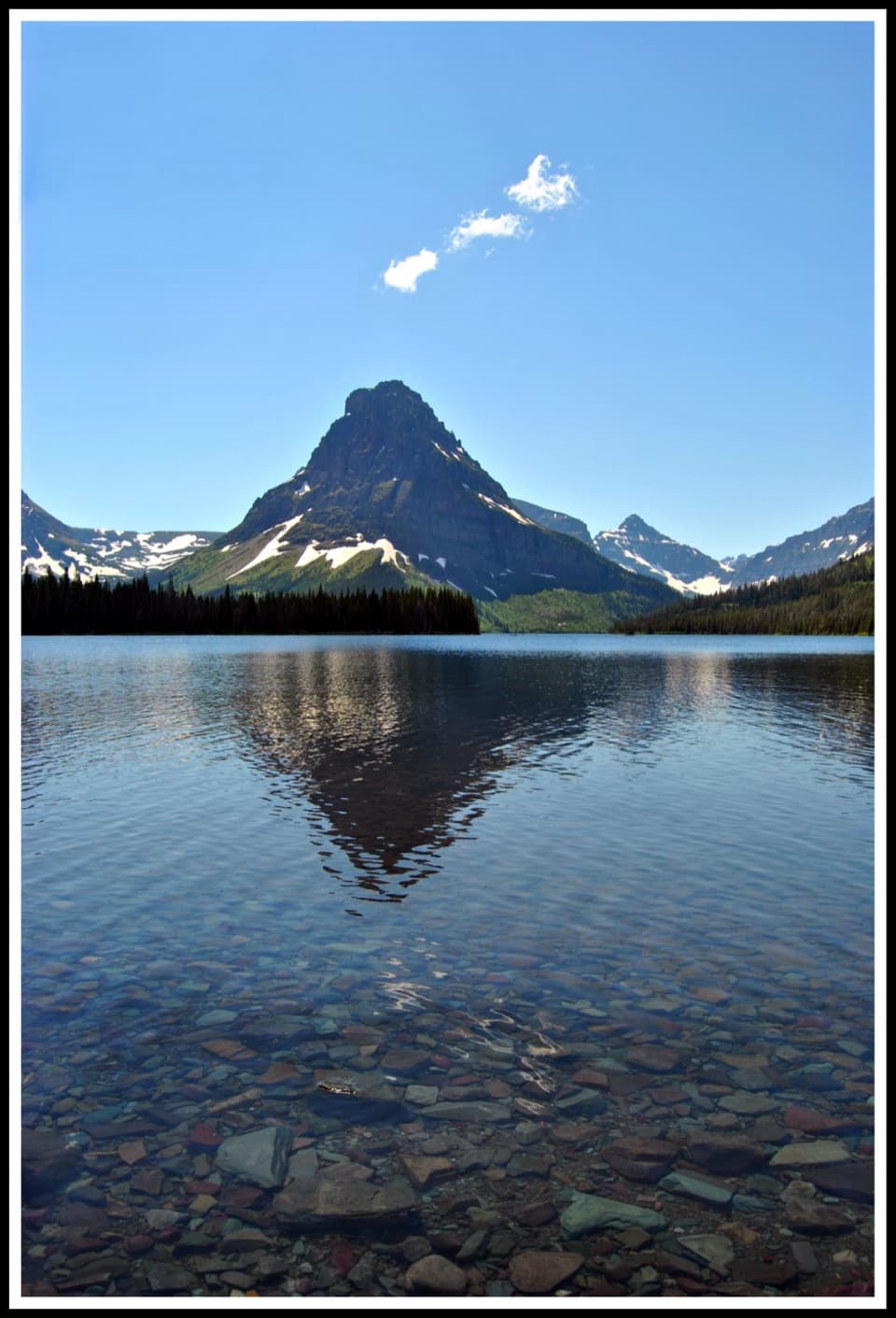 ModerateTwo Medicine Lake Loop8 mi · 4.5 hr · 4.8 mi awayOpen water and avalanche chutes frame this Two Medicine shoreline loop.
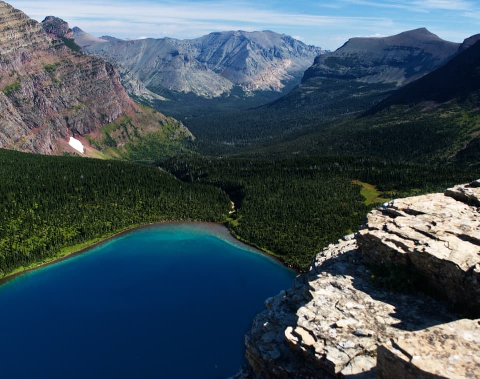 ChallengingDawson–Pitamakan Pass Loop17.4 mi · 10 hr · 4.9 mi awayTwo alpine passes and a narrow ridge make this a full day.
 ChallengingDawson Pass Trail13 mi · 8 hr · 4.9 mi awayA steep climb above No Name Lake ends at the Divide.
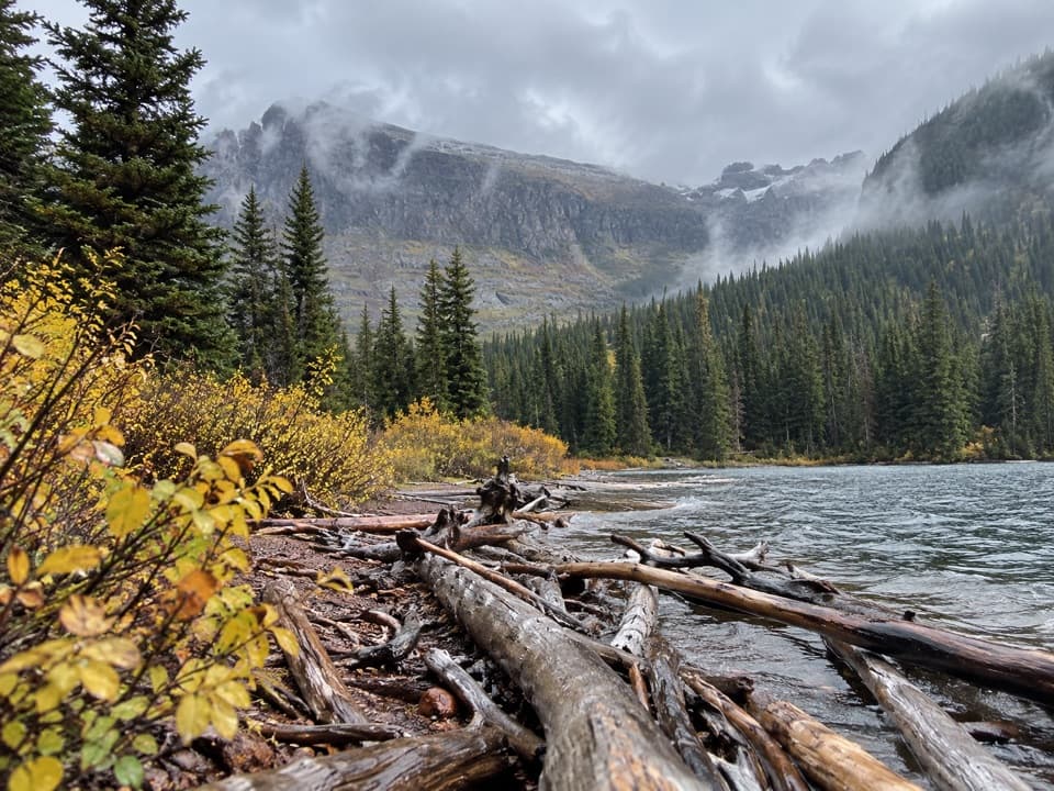 ModerateUpper Two Medicine Lake Trail10 mi · 5.5 hr · 4.9 mi awayA long, mostly gentle walk to a lake beneath steep valley walls.
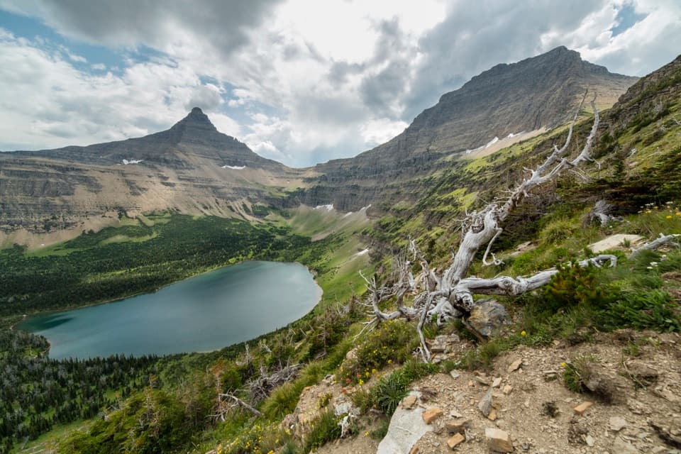 ChallengingPitamakan Pass Trail15.2 mi · 8 hr · 4.9 mi awayOldman Lake, then nearly 1,000 feet of switchbacks to the pass.
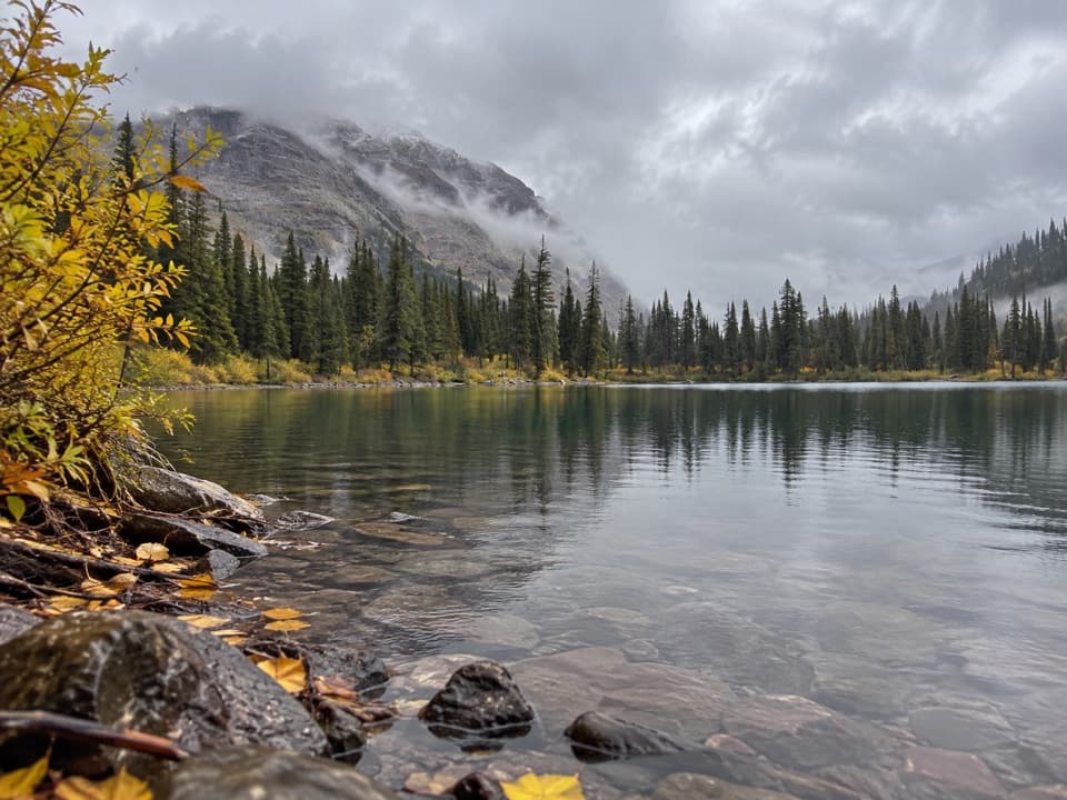 ModerateNo Name Lake Trail9.8 mi · 5.5 hr · 4.9 mi awayA long return hike to a small lake below Pumpelly Pillar.
 ChallengingOldman Lake Trail12.8 mi · 7 hr · 4.9 mi awayA long valley walk ends at a lake beneath Mount Morgan.Sight · 3.3 mi awayTwin FallsTwo cascades under Pumpelly Pillar, with a boat-shortened approach.
 Beach · 4.7 mi awayParadise PointA short walk to a small beach with striking Two Medicine views.
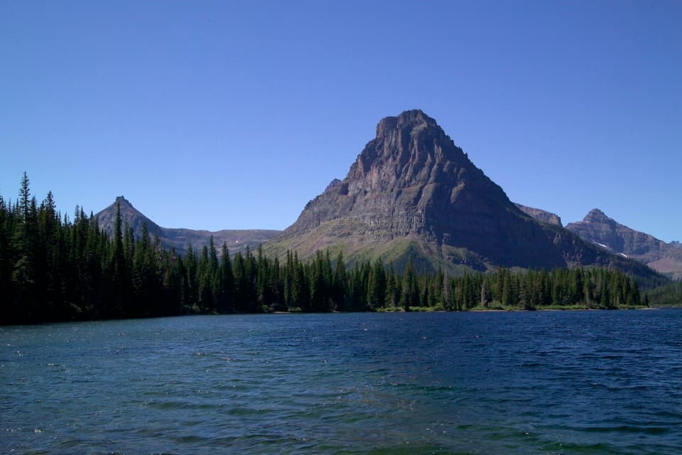 Sight · 4.9 mi awayTwo Medicine LakeA boat ride adds a fresh angle on Sinopah Mountain.
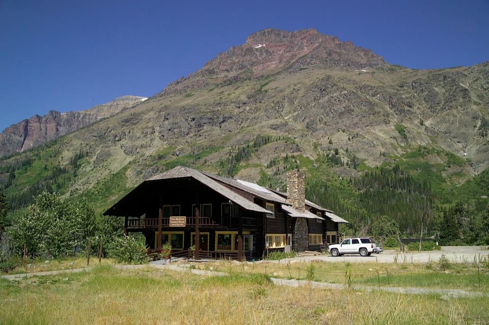 Store · 4.9 mi awayTwo Medicine CampstorePick up supplies in a historic chalet hall beside the lake.
 Campground · 5 mi awayTwo Medicine CampgroundA shady lakeside base with hikes starting from camp.
 Sight · 5.2 mi awayAster FallsA forest walk to a 20-foot cascade in three drops.
 Sight · 5.2 mi awayRockwell FallsTwo cascades and beaver ponds reward a long, low-climb walk.
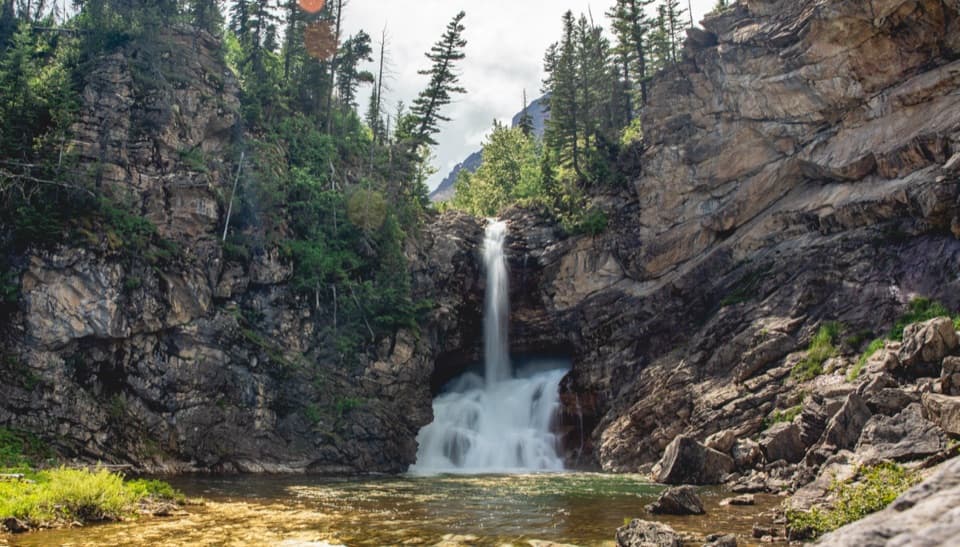 Sight · 5.4 mi awayRunning Eagle FallsSeasonal flow changes which tier of the falls shows.
Parkwolf’s Glacier ranking

The audio tour guide for the drive, plus offline maps, trails, and wildlife heatmaps for when the signal drops.





