Parking
From US Highway 89 between Two Medicine and St. Mary, follow Cut Bank Road to its end and start at Cut Bank Trailhead.
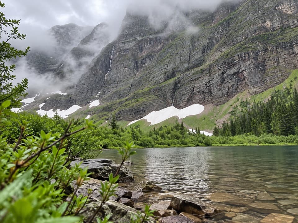
Glacier National Park, MT
A flower meadow leads to a lake beneath towering cliffs.
Overview
Map & elevation
Plan your hike

The highest, rockiest slopes around here are a summer buffet for grizzly bears.
Glacier Tour Guide
Parkwolf is a GPS audio tour guide for Glacier National Park. As you drive, it chimes in with what’s ahead: hidden gems, upcoming stops, history, geology, and wildlife, right through your car’s speakers.
See the Glacier audio tourRecorded for this trailhead
Cut Bank Trailhead and Campground“You're approaching Cut Bank Trailhead and Campground, a small base for a long day in the creek valley.”
Plays as you drive up to this trailhead in the Parkwolf Glacier Tour Guide.
More stories near here in the app
“Our first time to glacier and we used the audio portion for Going to the Sun Road. Wonderful information with perfect advice of what to see and do along the road.”


Trail guide
Morning Star Lake Trail is a 13.2-mile out-and-back from Cut Bank Trailhead to the lake and back. The 6.6-mile figure is one way, so allow about 7–9 hours for the full walk. The published climb is roughly 640 feet: this is a long day on mostly gradual terrain, not a short, steep summit climb. The payoff is a changing creek valley and a small lake tucked under high cliffs.
The trail leaves the trailhead through a meadow that can be bright with summer wildflowers, then follows the north bank of North Fork Cut Bank Creek through open lodgepole pine and Douglas-fir for about four miles. Bad Marriage Mountain fills the view to the south early on; farther in, Mount James and the pointed Flinsch Peak appear, while Medicine Grizzly Peak grows larger as the valley closes around you.
At about mile four, stay left for Morning Star Lake. The right branch goes toward Medicine Grizzly Lake and Triple Divide Pass. The Morning Star route crosses Atlantic Creek and passes small Atlantic Falls shortly after the junction. Beyond it, the valley opens into a subalpine meadow beneath steep cliffs, with snowmelt waterfalls high above, then narrows through fir forest on the final approach.
A footbridge sits near the foot of the lake, with a wall of cliffs rising beyond the water. Look high on the red cliffs for mountain goats, though a sighting is never guaranteed. A backcountry campground lies around the lake; overnight stays require a wilderness permit. The trail continues toward Pitamakan Lake, but that adds about two miles and 1,500 feet of climbing one way, so it is a much bigger outing than the route described here.
From US Highway 89 between Two Medicine and St. Mary, follow Cut Bank Road to its end and start at Cut Bank Trailhead. Bring food and water for the full day. Pets are not allowed on park trails or in the backcountry. Atlantic Creek is a real crossing: spring runoff can make Glacier crossings high, swift, and cold. Seasonal bridges are generally installed by mid-July and removed by late September, so check current crossing information before setting out.
Wildlife
 404 sightingsGrizzly BearMost seen around 6 AMSighting map
 11 sightingsWolverineMost seen around 8 PMSighting map
 1,173 sightingsMountain GoatMost seen around 6 AMSighting map
 1,000 sightingsBighorn SheepMost seen around 6 AMSighting map
 395 sightingsMooseMost seen around 6 AMSighting map
 506 sightingsBlack BearMost seen around 8 PMSighting map
Sighting maps show where each species has been reported across Glacier. Wildlife moves, so no sighting is guaranteed.
Keep exploring
 ChallengingMad Wolf Boundary Trail4.2 mi · 4.5 hr · At the trailheadA creek ford and steep climb lead to alpine meadows.
 ChallengingTriple Divide Pass Trail14.4 mi · 8 hr · At the trailheadA long climb to a saddle beneath a famously divided peak.
 ModerateMedicine Grizzly Lake Trail12.9 mi · 7.5 hr · At the trailheadA long creekside walk to a lake beneath the Continental Divide.
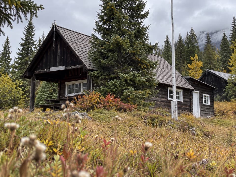 ModerateMilk River Ridge Boundary Trail1.9 mi · 1.3 hr · 0.4 mi awayA short climb along a remnant of the old east boundary.
 ChallengingCut Bank Pass Trail5.1 mi · 4.5 hr · 7 mi awayA steep alpine traverse down to the Nyack backcountry.
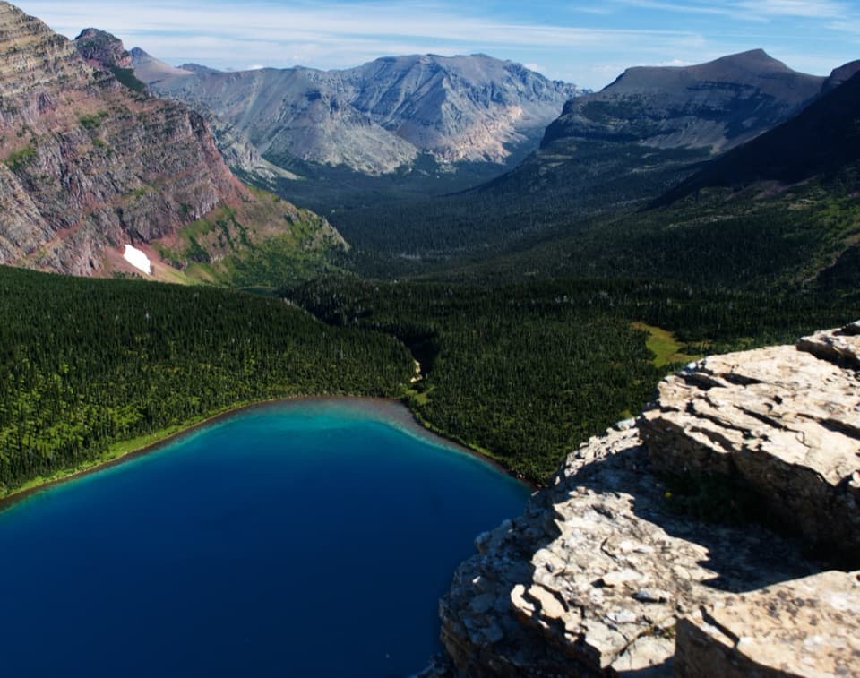 ChallengingDawson–Pitamakan Pass Loop17.4 mi · 10 hr · 7.7 mi awayTwo alpine passes and a narrow ridge make this a full day.
 ChallengingDawson Pass Trail13 mi · 8 hr · 7.7 mi awayA steep climb above No Name Lake ends at the Divide.
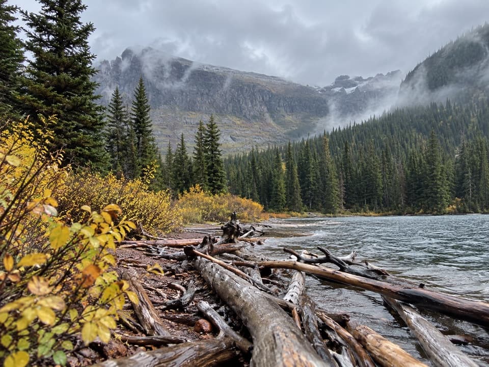 ModerateUpper Two Medicine Lake Trail10 mi · 5.5 hr · 7.7 mi awayA long, mostly gentle walk to a lake beneath steep valley walls.
 Campground · At the trailheadCut Bank CampgroundA quiet, tent-focused base with east-side mountain views.
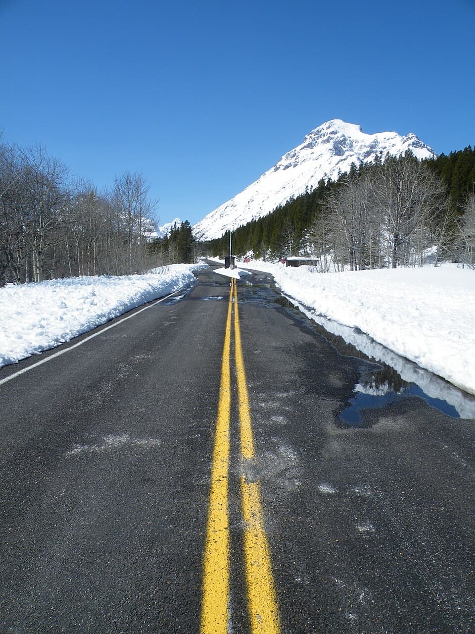 Entrance station · 7.2 mi awayTwo Medicine Entrance StationA separate entrance for Two Medicine's lake and trail area.
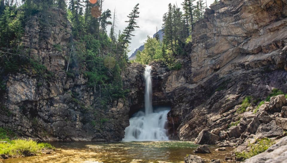 Sight · 7.4 mi awayRunning Eagle FallsSeasonal flow changes which tier of the falls shows.
 Campground · 8.1 mi awayTwo Medicine CampgroundA shady lakeside base with hikes starting from camp.
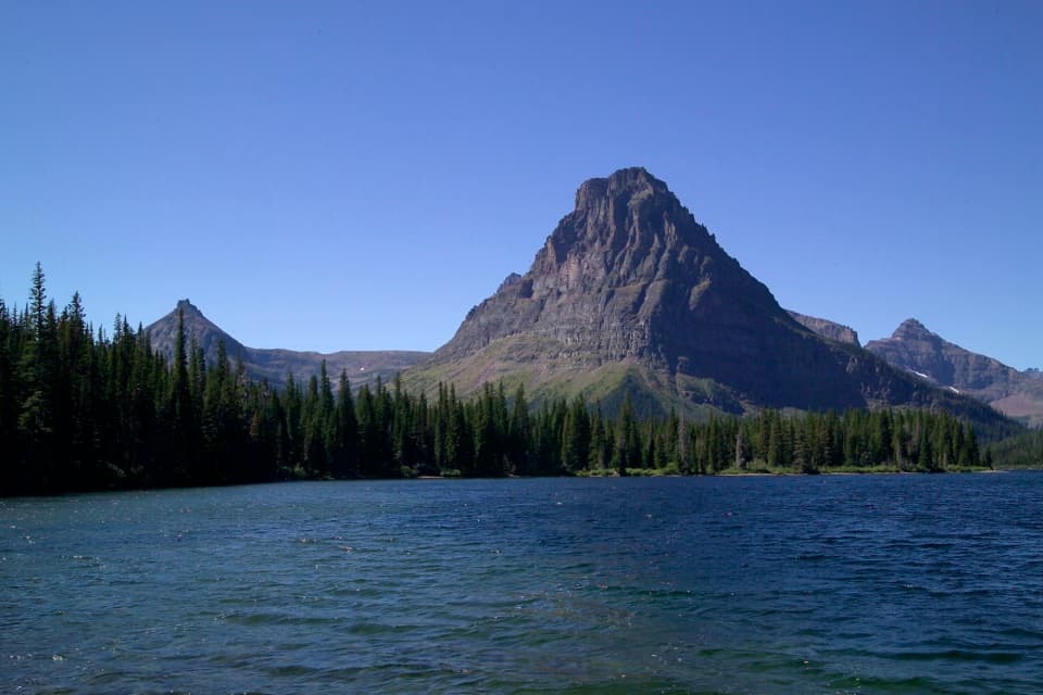 Sight · 8.2 mi awayTwo Medicine LakeA boat ride adds a fresh angle on Sinopah Mountain.
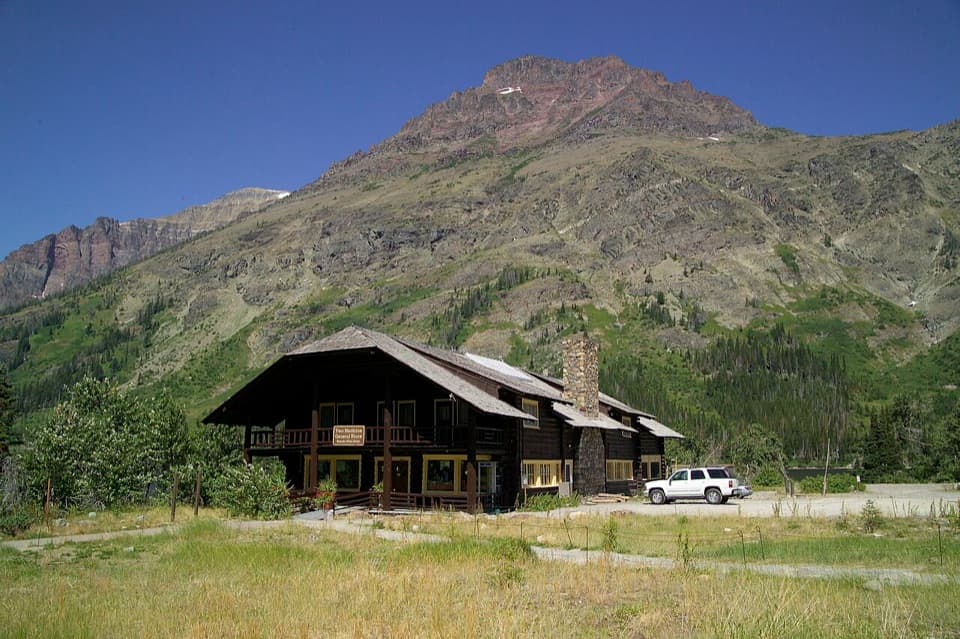 Store · 8.2 mi awayTwo Medicine CampstorePick up supplies in a historic chalet hall beside the lake.
 Beach · 8.3 mi awayParadise PointA short walk to a small beach with striking Two Medicine views.
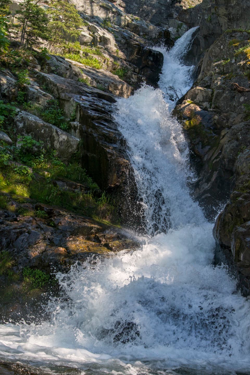 Sight · 8.4 mi awayAppistoki FallsA short waterfall walk with a partly screened view.
Parkwolf’s Glacier ranking

The audio tour guide for the drive, plus offline maps, trails, and wildlife heatmaps for when the signal drops.





