Parking
Start at the roadside access for Lake Wartook Lookout on Mount Difficult Road, about 4.5 km north of Boroka Lookout carpark. The unsealed approach and limited small parking area favor higher-clearance vehicles.
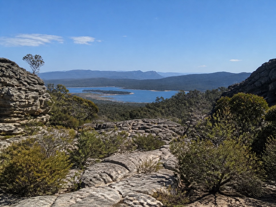
Grampians National Park, VIC
Short, steep rock climb to sweeping Lake Wartook and mountain views
Overview
The lookout gives you Lake Wartook below and broad views across mountains and forest, framed by pale, weathered layered sandstone shelves, low native scrub and eucalyptus. The lookout view is from the summit terraces.
 Parkwolf’s verdictThe payoff
Map & elevation
Plan your hike

The highest, rockiest slopes around here are a summer buffet for grizzly bears.
Grampians Tour Guide
Parkwolf is a GPS audio tour guide for Grampians National Park. As you drive, it chimes in with what’s ahead: hidden gems, upcoming stops, history, geology, and wildlife, right through your car’s speakers.
Recorded for this trailhead
Lake Wartook Lookout: Through the Rock Slot“Ahead is the roadside starting point for Lake Wartook Lookout, where a short, rocky climb leads to a wide lake-and-mountain view. I'd allow about 40 minutes for the 1.”
Plays as you drive up to this trailhead in the Parkwolf Grampians Tour Guide.
More stories near here in the app
“Fantastic app with many points of information… It’s great to just turn on while you’re driving and it gives you an audio tour of the national Park. We love it!!!!”


Trail guide
An out-and-back walk of 1.1 km return, roughly 40 minutes, graded Medium (Grade 3). It is about 510 m each way from the roadside to the lookout, and you come back along the same corridor.
From the roadside start you head west and begin climbing almost straight away, up rock staircases and across open rocky terraces. Near the top the route threads through a narrow rocky slot before opening out at the summit lookout. Return the way you came.
Short does not mean easy here. Expect uneven rock, slippery surfaces, steep rock steps and terraced slabs, plus exposed cliff edges near the top. Wear shoes with real grip, keep children and anyone unsteady close, and skip this one if you want a flat or fully surfaced path.
The trailhead is on the roadside on Mount Difficult Road, about 4.5 km north of the Boroka Lookout carpark. The approach road is unsealed and the parking area is small, so a higher-clearance vehicle is the safer choice.
Early or late light brings out the texture in the rock terraces and adds depth to the ranges beyond the lake. Midday works too, though the pale stone and open sky flatten out. Give yourself time at the top rather than rushing the climb.
Dogs and other pets are not permitted in Victorian national parks. Assistance dogs are covered by separate rules.
A longer route follows the Grampians Peaks Trail south toward Halls Gap. That is a much harder one-way walk needing transport arranged at both ends, so treat it as a separate outing rather than an extension of this short climb.
Wildlife
 157 sightingsShort-beaked EchidnaMost seen around 6 PMSighting map
 37 sightingsPowerful OwlMost seen around 6 PMSighting map
 59 sightingsWedge-tailed EagleMost seen around 11 AMSighting map
 24 sightingsEastern Brown SnakeMost seen around 11 AMSighting map
 10 sightingsTiger SnakeMost seen around noonSighting map
 29 sightingsRed-bellied Black SnakeMost seen around 11 AMSighting map
Sighting maps show where each species has been reported across Grampians. Wildlife moves, so no sighting is guaranteed.
Keep exploring
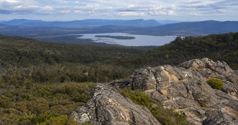 ChallengingLake Wartook Lookout to Halls Gap10.9 km · 3.5 hr · At the trailheadRidge-top sandstone and lake views, then a long forest descent to town
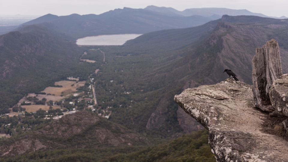 EasyBoroka Lookout Walk0.2 km · 15 min · 4.5 km awayShort sealed stroll to two platforms over Halls Gap and Lake Bellfield
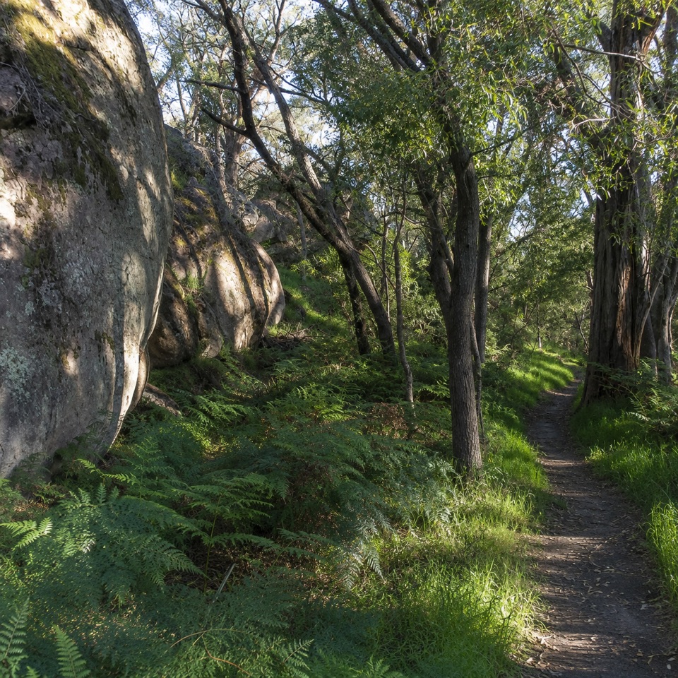 ModerateDelleys Bridge Walking Track2.7 km · 1.3 hr · 5.6 km awayEscarpment path above Fyans Creek, with steps, boardwalk and forest cover
 EasyHalls Gap Bike Path7.5 km · 2 hr · 6.1 km awayPaved shared path from town streets to Lake Bellfield's mountain views
 ChallengingBugiga Overnight Hike22.3 km · 14 hr · 6.1 km awayGrand Canyon, the Pinnacle, Mount Rosea: two hard days with a pack
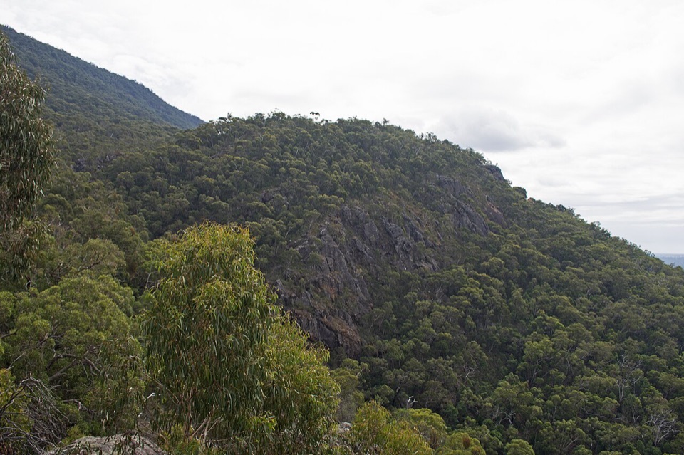 EasyClematis Falls Walk2.4 km · 1 hr · 6.2 km awayShort forest stroll to a seasonal falls under sandstone cliffs
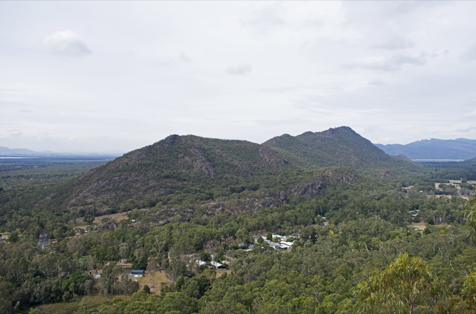 ModerateChatauqua Peak Loop Walk6.3 km · 2.5 hr · 6.4 km awaySteep rocky summit above Halls Gap, with fern gullies and a waterfall
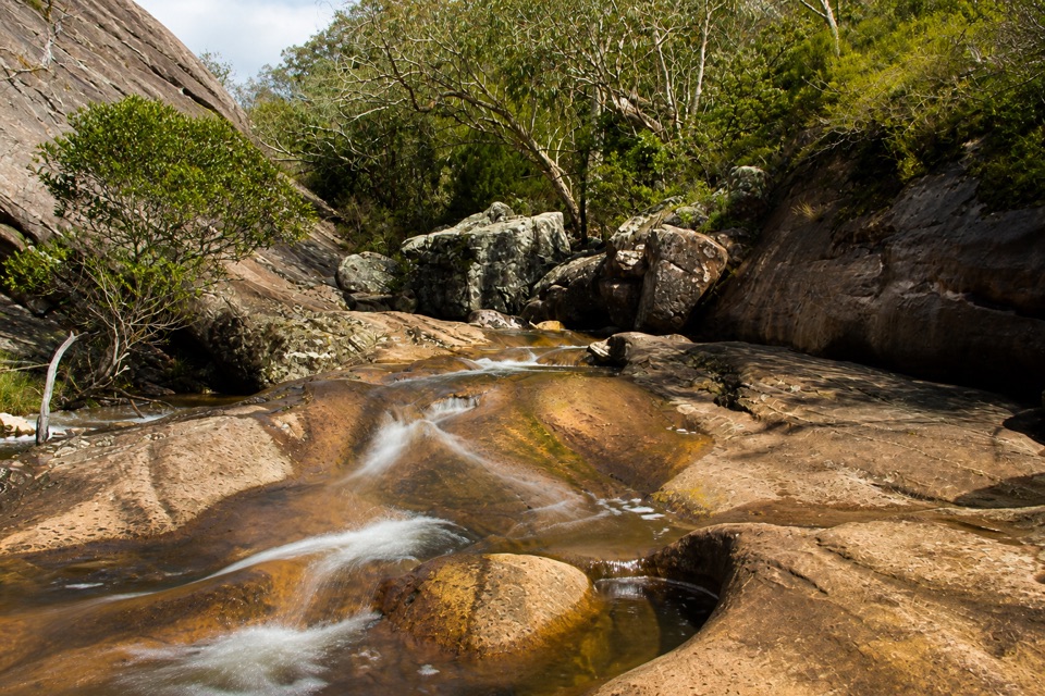 EasyVenus Baths Loop Walk2.3 km · 1 hr · 6.4 km awaySmooth sandstone pools on Stony Creek, an easy 2.3 km family circuit
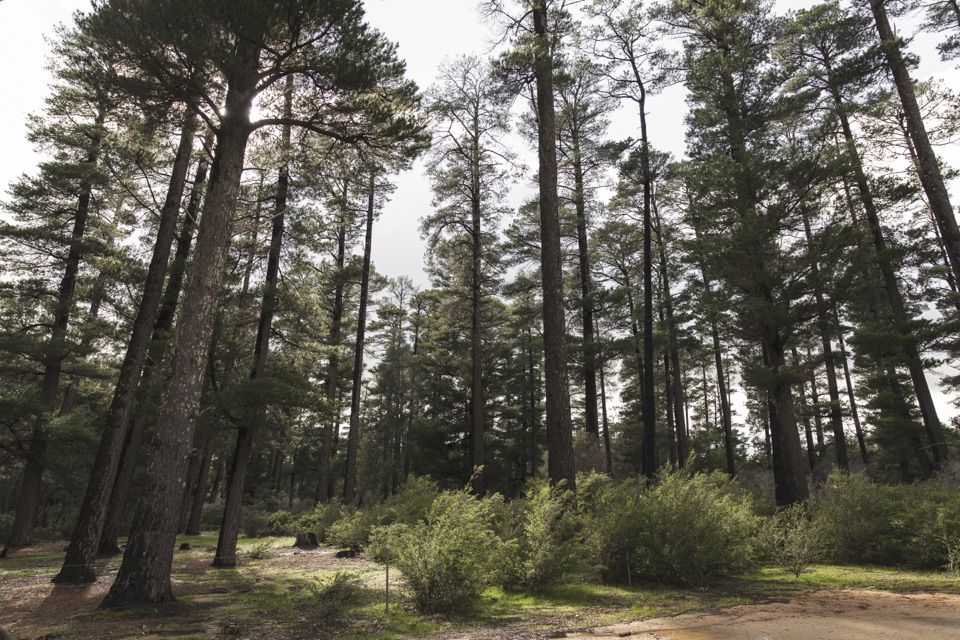 Campground · 2.8 km awayPlantation CampgroundA roomy pine-forest camp with easy access to the northern Grampians
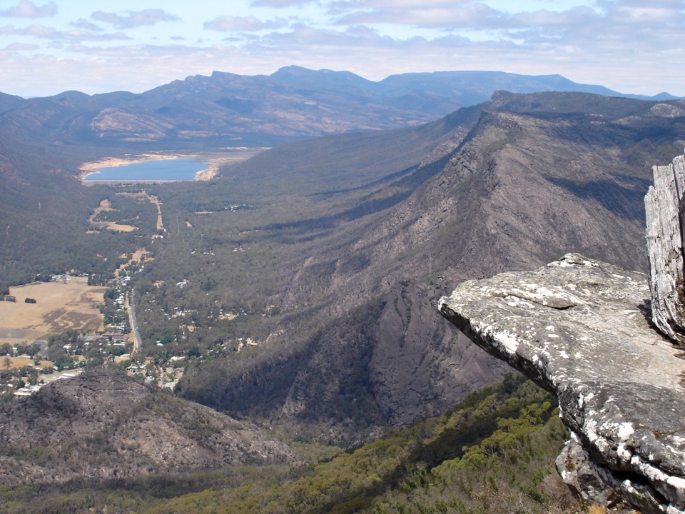 Sight · 4.5 km awayBoroka LookoutA short stroll to huge views over Halls Gap and Lake Bellfield
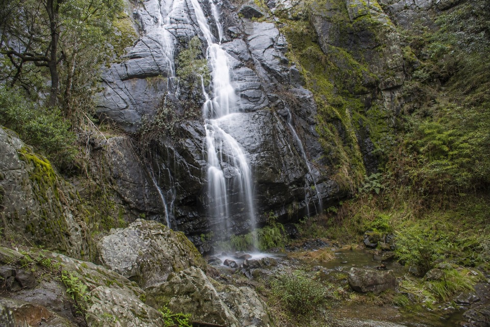 Sight · 5.1 km awayClematis FallsA seasonal waterfall reached by an easy walk from Halls Gap
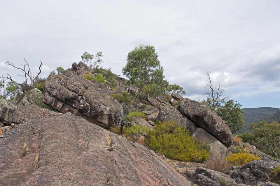 Sight · 6 km awayChatauqua PeakA rocky summit scramble with wide views over Halls Gap
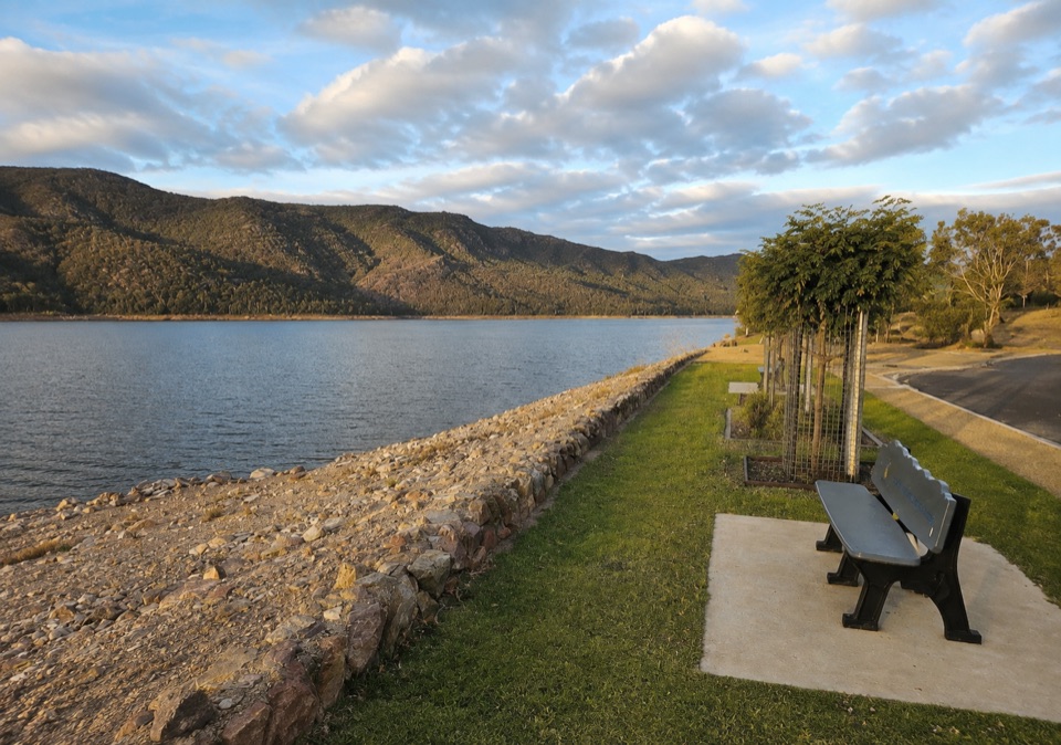
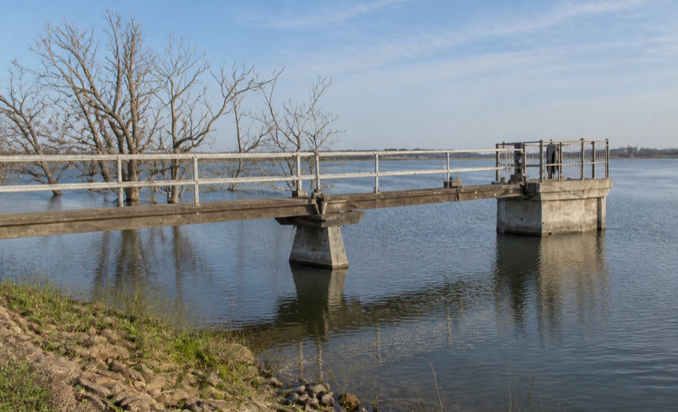 Sight · 6.2 km awayLake WartookA quiet reservoir with a dam, boat ramp, and mountain reflectionsSight · 6.4 km awayVenus BathsSmooth sandstone pools made for a cool, easy creekside wander
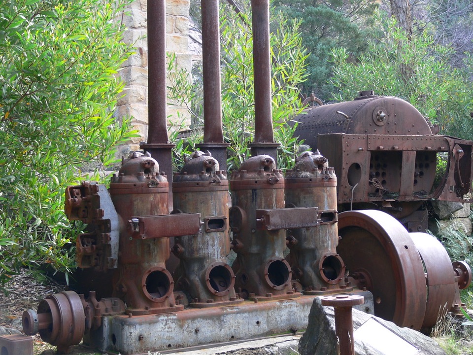 Sight · 6.5 km awayHeatherlie QuarryRusting machinery and sandstone cottages tell a forgotten quarry story
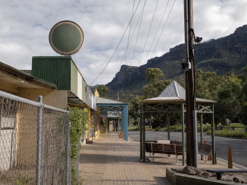 Sight · 6.8 km awayHalls GapA practical mountain base for central walks, wildlife, and big views
Parkwolf’s Grampians ranking
The audio tour guide for the drive, plus offline maps, trails, and wildlife heatmaps for when the signal drops.




