Parking
Join from Halls Gap accommodation or the Halls Gap Hotel / Ararat Road side; Lake Bellfield access is near the viewing point. Because the route is point-to-point, arrange a return ride or park at the end and walk back.
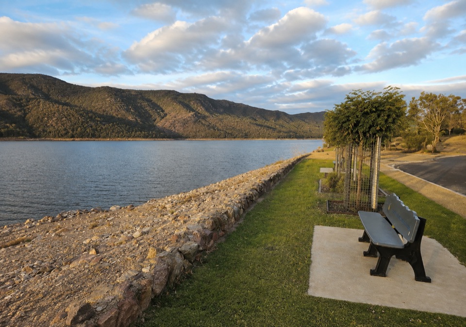
Grampians National Park, VIC
Paved shared path from town streets to Lake Bellfield's mountain views
Overview
A point-to-point shared walking and cycling path, measured as 7.5 km (4.66 miles) one way. Distances here are one-way totals, so plan on about 15 km if you walk or ride back instead of arranging a lift. Difficulty is easy, 2/10, and a sensible allowance is about 2 hours one way on foot, with 1.5 hours realistic for a steady walker and much less by bike.
The stored start is on the Ararat Road side of Halls Gap, near the Halls Gap Hotel, where the path is picked up a short distance east of the trailhead point. From there it threads through the Halls Gap settlement before easing into bushland and running south to finish near the Lake Bellfield Viewing Point. The lake is the clear payoff: open water backed by the ranges, and a natural place to stop, sit and turn around. Between the two ends you get gum and eucalyptus shade and repeated views out toward the Grampians ranges.
 Parkwolf’s verdictThe sequence and the payoff
Map & elevation
Plan your hike

The highest, rockiest slopes around here are a summer buffet for grizzly bears.
Grampians Tour Guide
Parkwolf is a GPS audio tour guide for Grampians National Park. As you drive, it chimes in with what’s ahead: hidden gems, upcoming stops, history, geology, and wildlife, right through your car’s speakers.
Recorded for this area
Chatauqua Peak and Clematis Falls“You're nearing the Halls Gap Recreation Reserve area, the walking access for Chatauqua Peak and Clematis Falls. Head for the reserve and the signed path by the oval, rather than trying to drive to the waterfall itself.”
Plays on the road 1.2 km from the trailhead in the Parkwolf Grampians Tour Guide.
More stories near here in the app
“Fantastic app with many points of information… It’s great to just turn on while you’re driving and it gives you an audio tour of the national Park. We love it!!!!”


Trail guide
The corridor is mostly bitumen or sealed surface and stays gentle throughout. Elevation runs from roughly 224 m at the Halls Gap end to about 285 m near Lake Bellfield, with a slight dip early on, so the southbound direction is a mild, steady rise rather than a hiking climb. Visitor information describes the path as suitable for wheelchair users, prams, young children and primary-school-aged children. That reflects the sealed shared-path design; expect the usual variation in width, crossfall and kerb transitions along a route of this length rather than a uniformly engineered accessible surface end to end.
Walkers and cyclists use the same corridor, and it also serves as a practical link between Halls Gap accommodation and the lake. Riders should expect family groups, prams and dawdling pedestrians; walkers should expect bikes from behind. Keep left, call or ring a bell when passing, and take extra care where the path meets road crossings and driveways through the settlement.
The park supports kangaroos, wallabies, emus and a range of native birds, and quiet stretches of bushland along the path give you a reasonable chance of seeing some of them, particularly early and late in the day. Nothing is guaranteed. Lake Bellfield itself is known as a spot for fishing and paddling, so the far end often has more activity than the bush section leading to it.
You can join the path from Halls Gap accommodation or the Halls Gap Hotel / Ararat Road side, and there is access near the Lake Bellfield Viewing Point at the southern end. Because the route does not loop, decide before you start whether you are:
This path runs partly through national-park land, so ordinary pets are not allowed on the represented route. Parks Victoria normally prohibits dogs in national parks, and assistance dogs are covered by separate entry requirements, which should be checked with the managing agency before your visit.
If you want a compact stroll with a more scenic focus rather than a town-to-lake link, the Venus Baths walk nearby is much shorter and leads to rock pools along a creek. Choose this bike path when you want an easy, sealed, pram- or bike-friendly outing with a lake at the end; choose the shorter nature walk when you have less time and want rocks and water up close.
Wildlife
 157 sightingsShort-beaked EchidnaMost seen around 6 PMSighting map
 37 sightingsPowerful OwlMost seen around 6 PMSighting map
 59 sightingsWedge-tailed EagleMost seen around 11 AMSighting map
 24 sightingsEastern Brown SnakeMost seen around 11 AMSighting map
 10 sightingsTiger SnakeMost seen around noonSighting map
 29 sightingsRed-bellied Black SnakeMost seen around 11 AMSighting map
Sighting maps show where each species has been reported across Grampians. Wildlife moves, so no sighting is guaranteed.
Keep exploring
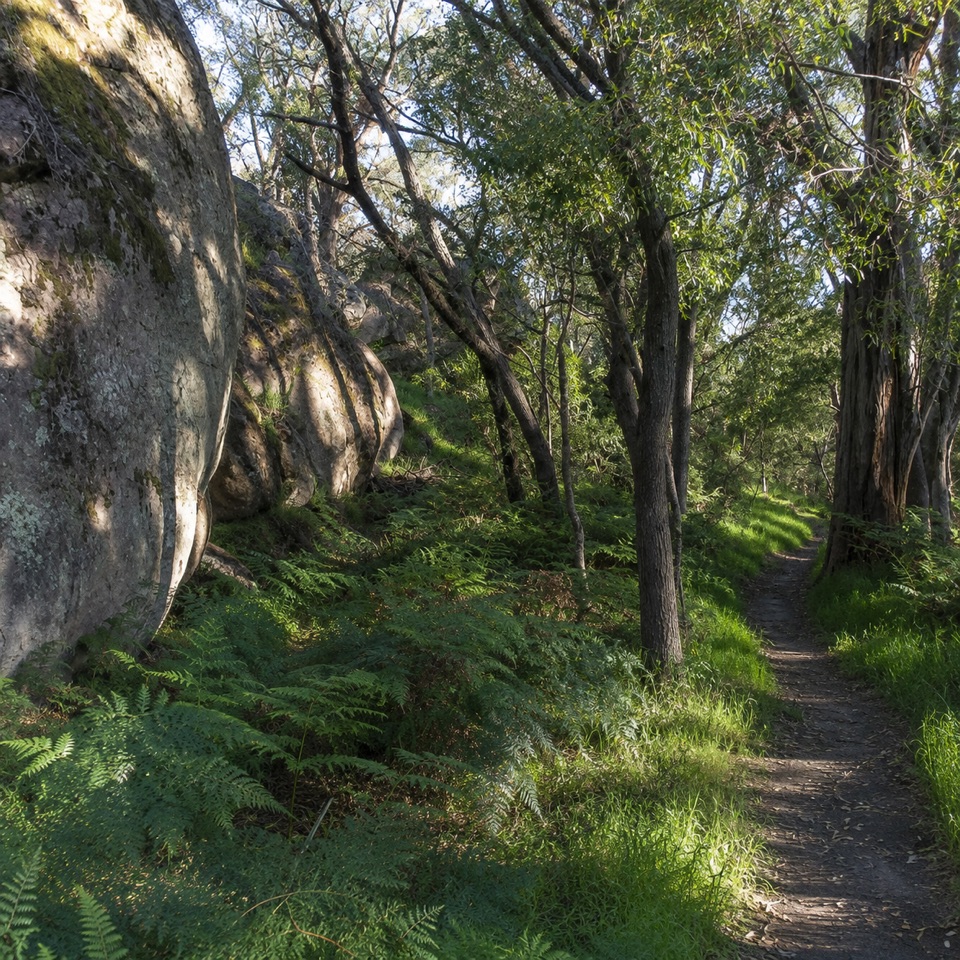 ModerateDelleys Bridge Walking Track2.7 km · 1.3 hr · 1 km awayEscarpment path above Fyans Creek, with steps, boardwalk and forest cover
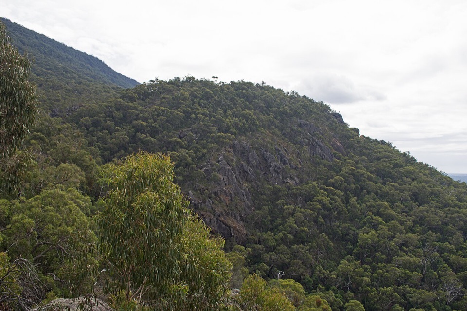 EasyClematis Falls Walk2.4 km · 1 hr · 1.5 km awayShort forest stroll to a seasonal falls under sandstone cliffs
 ChallengingBugiga Overnight Hike22.3 km · 14 hr · 1.5 km awayGrand Canyon, the Pinnacle, Mount Rosea: two hard days with a pack
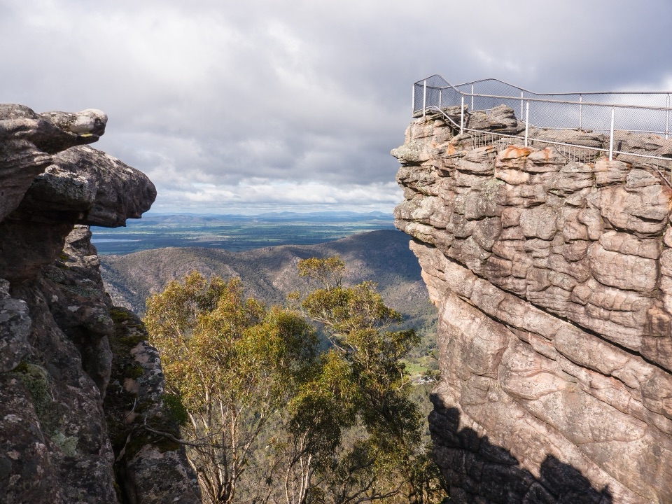 ChallengingBugiga and Barri Yalug 3-day Hike39.4 km · 18 hr · 1.7 km awayThree days from Halls Gap over The Pinnacle and Mount Rosea cliffs
 ModerateHalls Gap to The Pinnacle9.6 km · 5 hr · 1.8 km awaySteep sandstone climb to a wide lookout, then a canyon-lined return
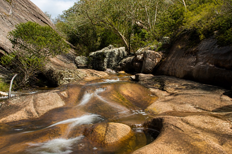 EasyVenus Baths Loop Walk2.3 km · 1 hr · 1.8 km awaySmooth sandstone pools on Stony Creek, an easy 2.3 km family circuit
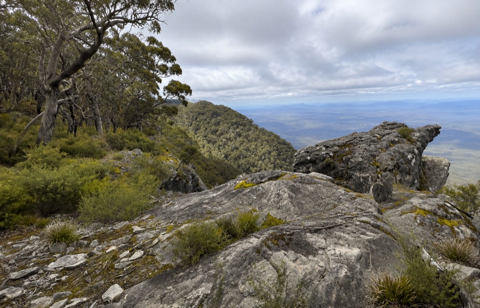 ChallengingWerdug Overnight Hike26 km · 13 hr · 1.8 km awaySteep escarpment climb to a high hike-in camp above Lake Wartook
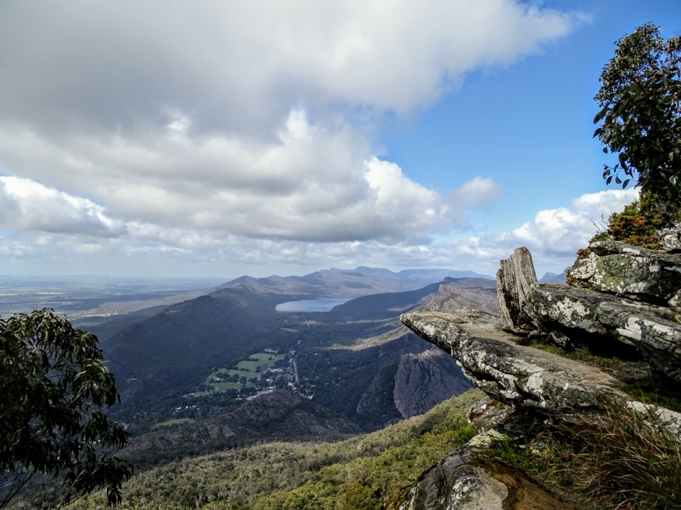 ChallengingBoroka Lookout from Halls Gap12 km · 4 hr · 1.8 km awaySteep 12 km climb through stringybark forest to a cliff-edge panorama
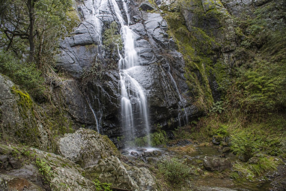 Sight · 1.7 km awayClematis FallsA seasonal waterfall reached by an easy walk from Halls Gap
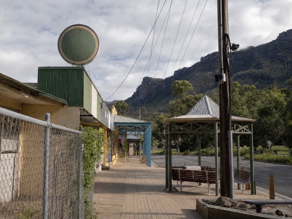 Sight · 1.8 km awayHalls GapA practical mountain base for central walks, wildlife, and big views
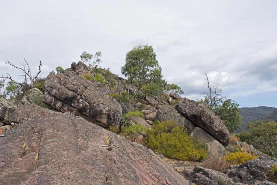 Sight · 1.8 km awayChatauqua PeakA rocky summit scramble with wide views over Halls Gap
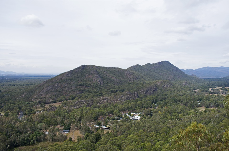 Sight · 2.1 km awayBoronia Peak360-degree views over Halls Gap, Lake Fyans, and the rangesSight · 2.4 km awayVenus BathsSmooth sandstone pools made for a cool, easy creekside wander
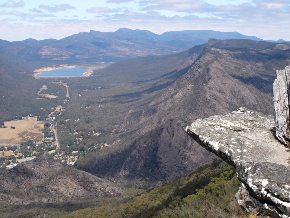 Sight · 2.8 km awayBoroka LookoutA short stroll to huge views over Halls Gap and Lake Bellfield
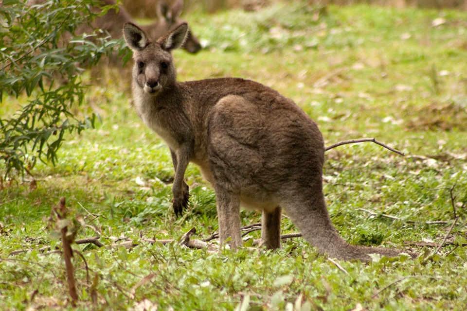 Visitor center · 3.1 km awayBrambuk the National Park & Cultural CentreA cultural gateway to Gariwerd stories, wildlife, and walking plans
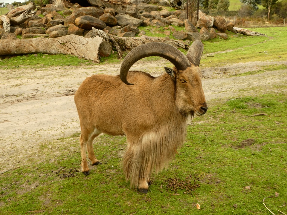 Sight · 3.2 km awayHalls Gap ZooHand-feed wildlife and meet exotic species in a compact bushland zoo
Parkwolf’s Grampians ranking
The audio tour guide for the drive, plus offline maps, trails, and wildlife heatmaps for when the signal drops.




