Parking
Use the signed Red Gum Walk access near the official trailhead. Parking is available near the trailhead; follow park access signs.
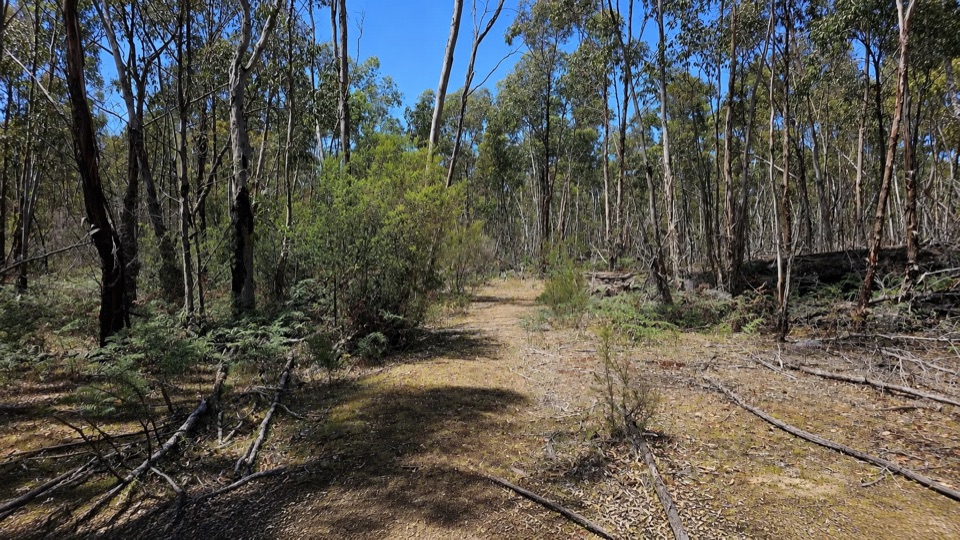
Grampians National Park, VIC
Gentle 2 km woodland circuit among river red gums and swamp gums
Overview
Map & elevation
Plan your hike

The highest, rockiest slopes around here are a summer buffet for grizzly bears.
Grampians Tour Guide
Parkwolf is a GPS audio tour guide for Grampians National Park. As you drive, it chimes in with what’s ahead: hidden gems, upcoming stops, history, geology, and wildlife, right through your car’s speakers.
Recorded for this trailhead
Red Gum Walk: An Easy Woodland Loop“You're nearing the access for Red Gum Walk, a gentle woodland circuit in the Moora Valley.”
Plays as you drive up to this trailhead in the Parkwolf Grampians Tour Guide.
More stories near here in the app
“Fantastic app with many points of information… It’s great to just turn on while you’re driving and it gives you an audio tour of the national Park. We love it!!!!”


Trail guide
A short 2 km circuit (about 1.2 miles) through tall gum woodland in the Moora Valley. It returns you to the same access point, so there is no out-and-back retracing, and the grade stays gentle with only around 20 m of total climbing.
The route follows a formed, compacted walking surface and was built as the park's first all-abilities track. That means it is easy going by bushwalking standards, but the surface is not fully sealed, so anyone using a wheelchair, pram or walking aid should judge suitability on the day.
It is a quiet nature walk rather than a big-view hike, so set expectations for a modest, leafy payoff instead of a summit or waterfall.
Allow about 45 minutes, or roughly 30 to 60 minutes depending on your pace and how long you stop to look at the trees and understorey.
Dogs are not permitted in the national park or on this walk. Assistance dogs are allowed under the usual entry requirements.
Wildlife
 157 sightingsShort-beaked EchidnaMost seen around 6 PMSighting map
 37 sightingsPowerful OwlMost seen around 6 PMSighting map
 59 sightingsWedge-tailed EagleMost seen around 11 AMSighting map
 24 sightingsEastern Brown SnakeMost seen around 11 AMSighting map
 10 sightingsTiger SnakeMost seen around noonSighting map
 29 sightingsRed-bellied Black SnakeMost seen around 11 AMSighting map
Sighting maps show where each species has been reported across Grampians. Wildlife moves, so no sighting is guaranteed.
Keep exploring
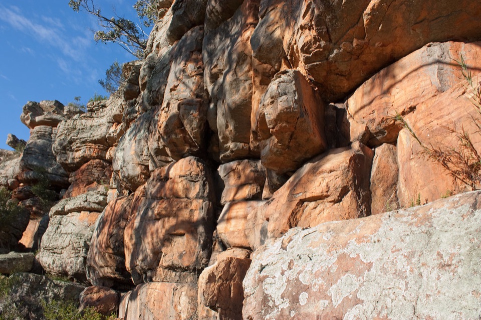 EasyPaddy Castle Walk0.6 km · 36 min · 2.1 km awayShort rocky path to a banded sandstone outcrop in Victoria Valley
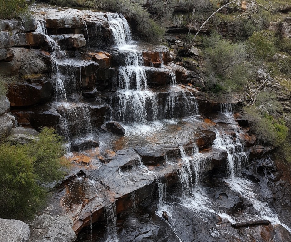 ModerateBurrong Falls Walk0.7 km · 1 hr · 5.6 km awayShort bush track to terraced cascades and gorge-side rock pools
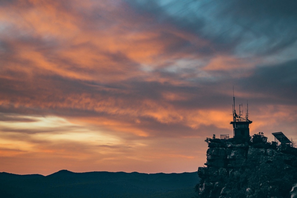 EasyReed Lookout Walk0.5 km · 10 min · 7.1 km awayTen minutes return to a fire tower and Victoria Valley views
 EasyThe Balconies Walk2.2 km · 1 hr · 7.1 km awayGentle gravel stroll to sandstone platforms above a misty valley
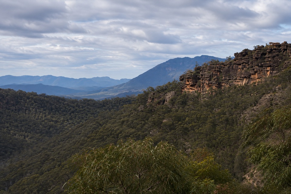 ChallengingTower Hill Walk4.6 km · 3 hr · 7.6 km awaySteep overgrown climb to a rocky summit with wide valley views
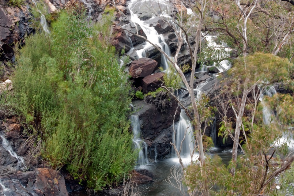 EasyBroken Falls and Cranages Lookouts1.3 km · 30 min · 9.6 km awayShort paved stroll to waterfall views above a rocky river gorge
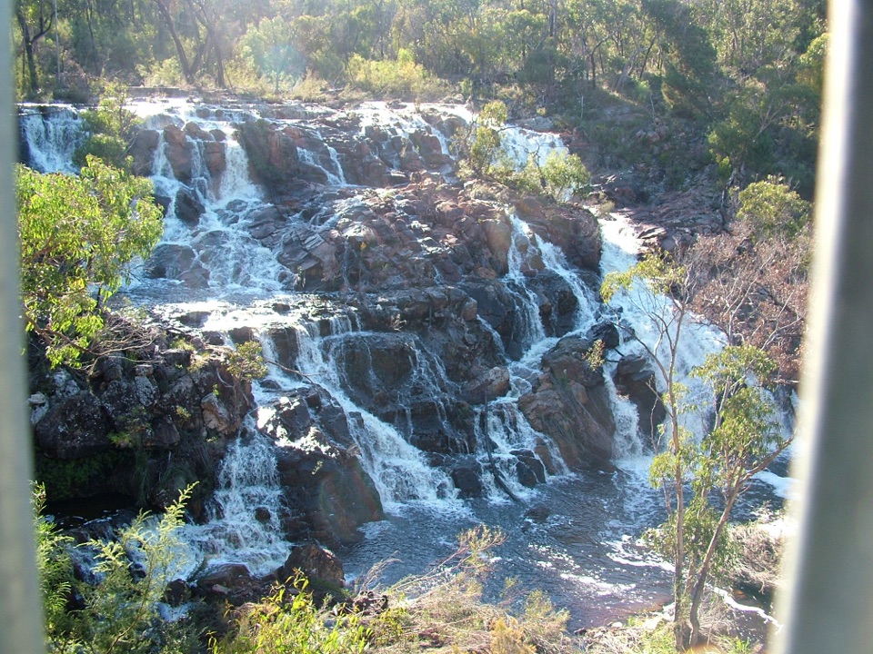 EasyMackenzie Falls Lookout Walk1.6 km · 45 min · 9.7 km awaySealed forest loop to a lookout above falls and sandstone gorge
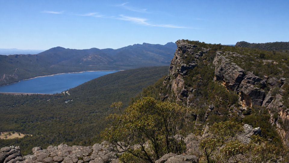 ChallengingBarri Yalug Overnight Hike45.7 km · 18 hr · 9.7 km awayTwo hard days over sandstone ridges from Mount Rosea to Mount WilliamSight · 2 km awayPaddy CastleA short scramble to warm sandstone and wide valley views
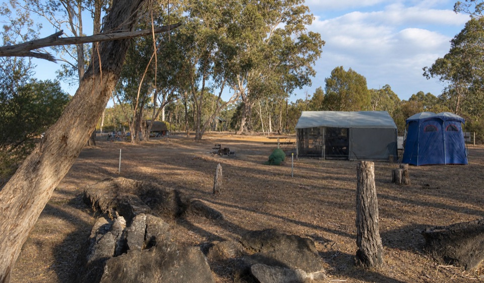 Campground · 3 km awayBoreang CampgroundA quiet bush camp with wildlife, fire rings, and open woodland
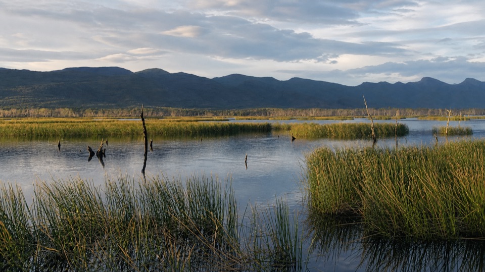 Sight · 4.9 km awayMoora Moora ReservoirReflective water, reedbeds, and the Serra Range in one quiet stop
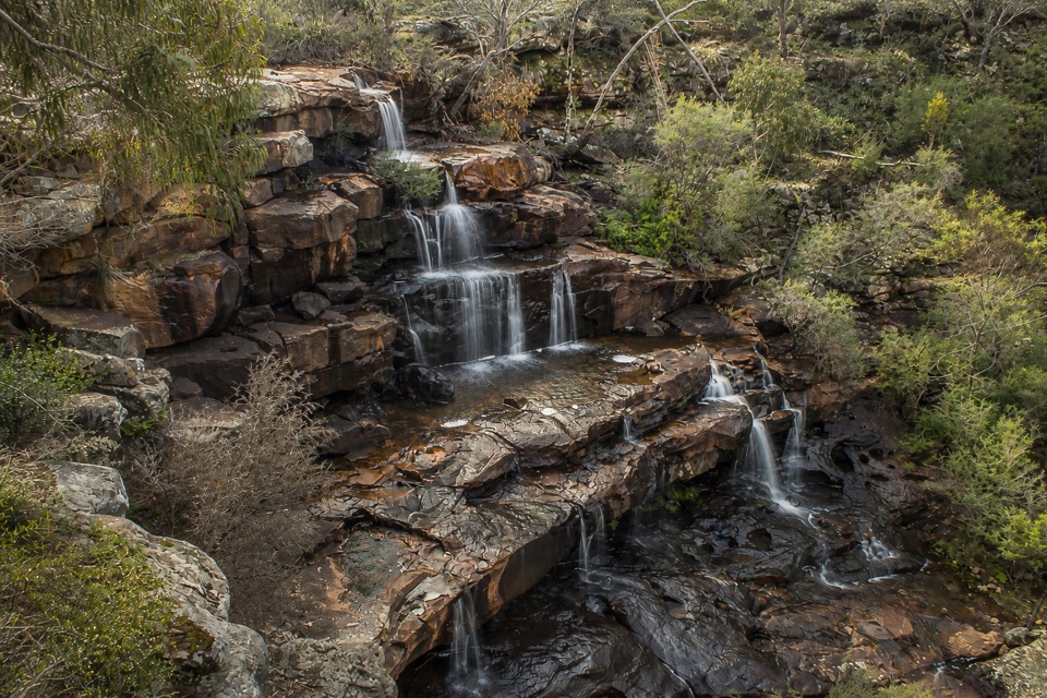 Sight · 5.5 km awayBurrong FallsTerraced cascades over sandstone steps in a quiet bush settingSight · 7 km awayReeds LookoutWide Victoria Valley views from a very short uphill walkSight · 7.6 km awayThe BalconiesCliff-edge rock platforms above the vast Victoria Valley
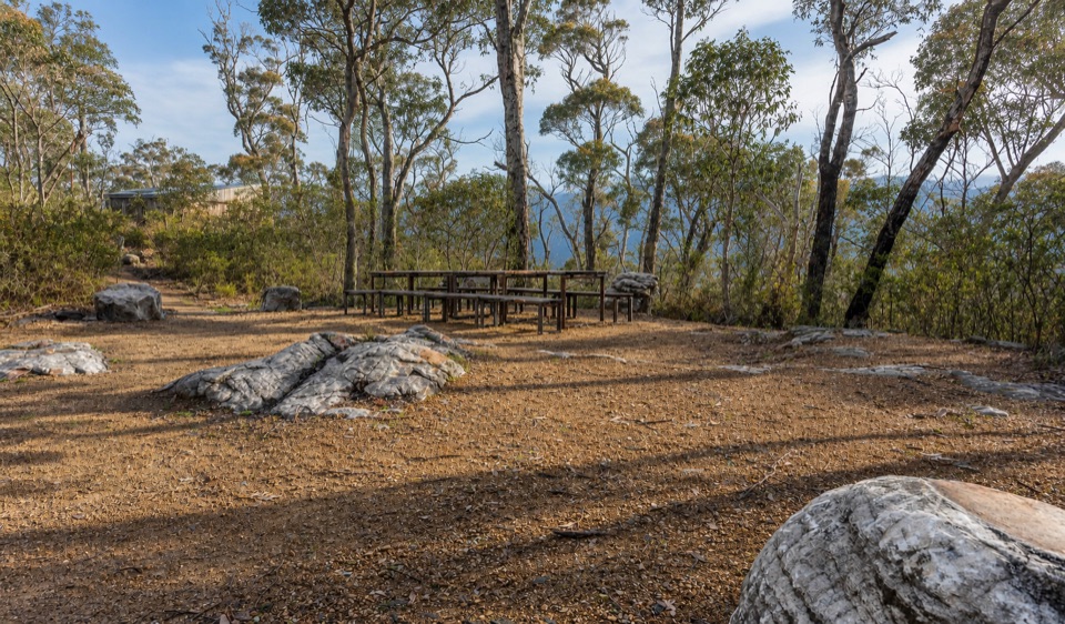 Campground · 8.1 km awayStony Creek Group CampgroundA quiet group camp among pines, granite, and mountain views
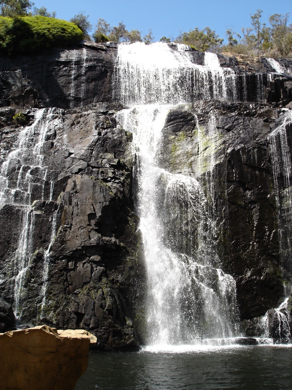 Sight · 9.5 km awayMacKenzie Falls (Migunang wirab)A thunderous year-round waterfall with a steep stair climb
Parkwolf’s Grampians ranking

The audio tour guide for the drive, plus offline maps, trails, and wildlife heatmaps for when the signal drops.




