The Abyss in Grand Canyon National Park

Sight · Grand Canyon National Park

The Abyss

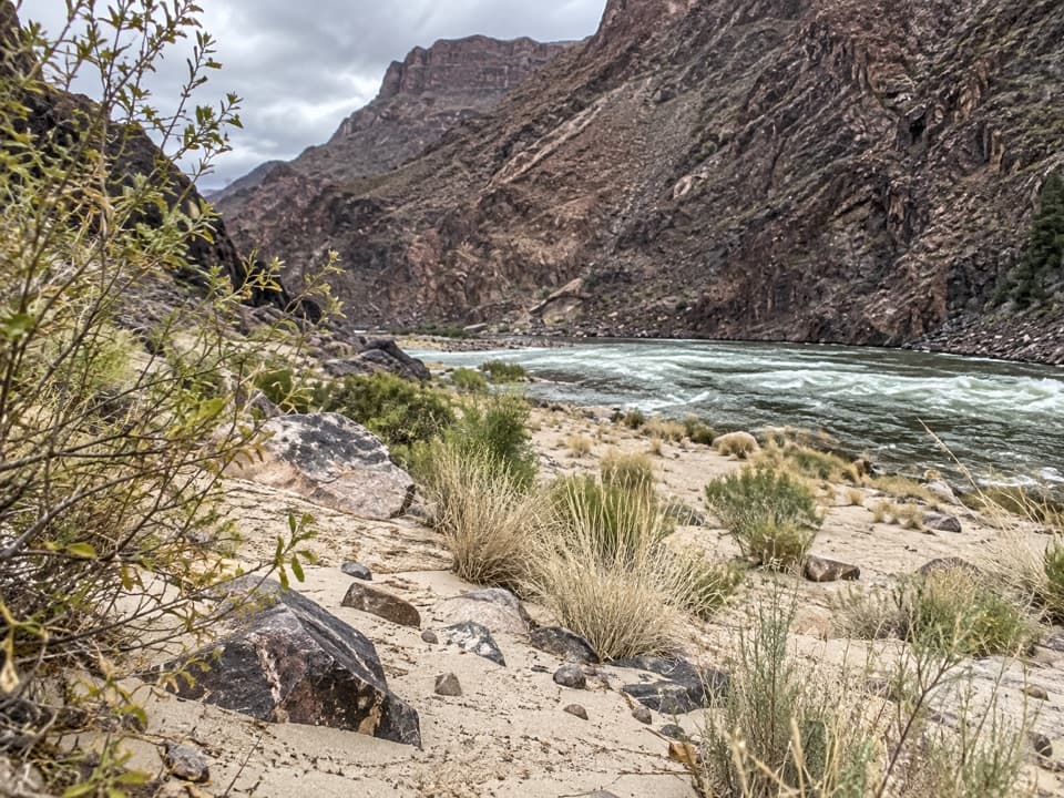
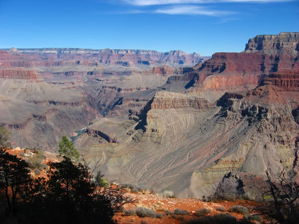
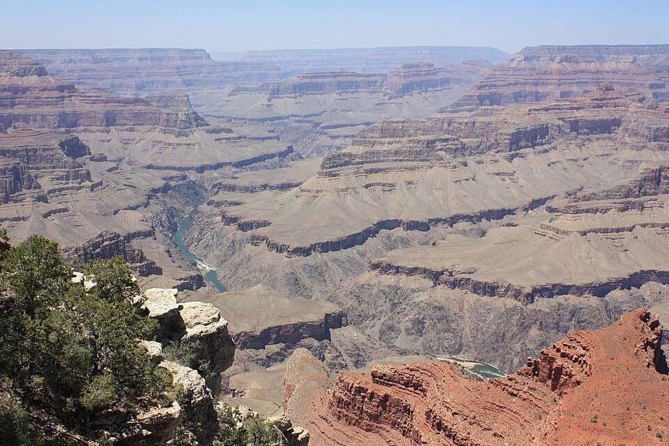
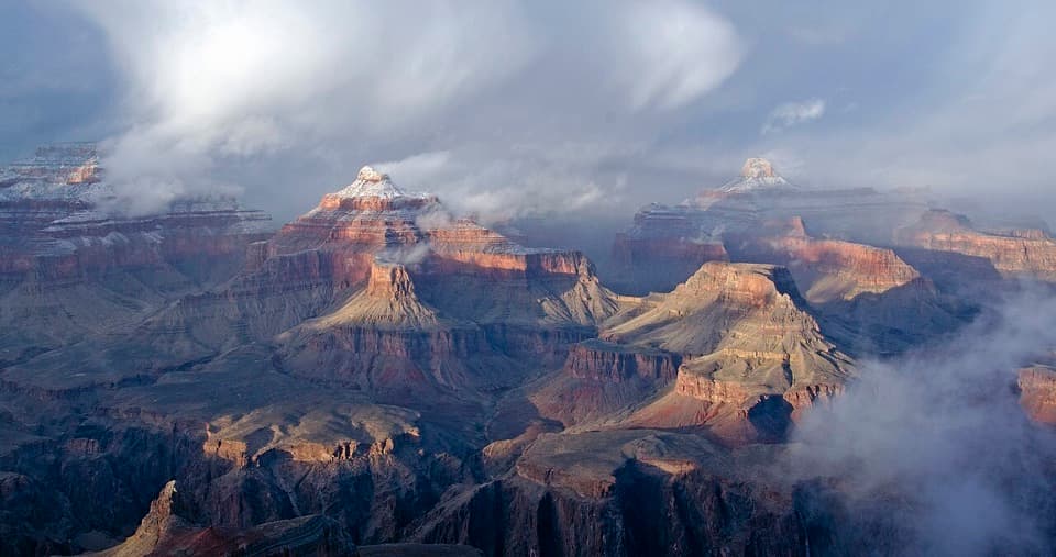
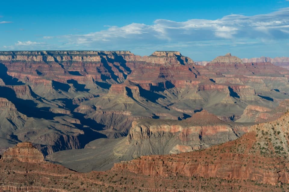
A near-vertical look into the Monument Creek drainage.

Photo: Wikimedia Commons
Type
Sight
Nearest trail
1.4 mi
Audio stories
11 nearby
  • Scenic viewpoint

Hear the audio tour

The Abyss’s Sheer Drop

Overview

About The Abyss

Why stop

  • A startling near-vertical drop into Monument Creek drainage.

Heads up

  • Some nearby overlooks offer a more distinctive view.

Map

Where it is

Loading the Grand Canyon map
Full map
SightThe Abyss36.05830, -112.16899
Keep this map with you offline in the Parkwolf app

Plan your stop

Before you go

4 active Grand Canyon alerts

  • ClosureInner Canyon and North Rim trail closuresDo not enter the closed trails, bridges, campgrounds, and inner-canyon areas.Official details
  • ClosureNorth Rim scenic roads closed for repairsCape Royal Road and Point Imperial Road are closed from sunset October 15 through sunrise November 3, 2026. - The roads are closed to accommodate critical road repair and rehabilitation work.Official details
See all 4 alerts
A park ranger sits on a dash-mounted phone, talking, as Parkwolf’s Tour Guide plays “Army Cutworm Moths: A Grizzly Bear Buffet” on Grand Loop Road below Dunraven Pass in Yellowstone
Parkwolf Tour GuideThe highest, rockiest slopes around here are a summer buffet for grizzly bears.

Grand Canyon Tour Guide

Your drive to The Abyss, narrated.

Parkwolf is a GPS audio tour guide for Grand Canyon National Park. As you drive, it chimes in with what’s ahead: hidden gems, upcoming stops, history, geology, and wildlife, right through your car’s speakers.

See the Grand Canyon audio tour

Recorded for this place

The Abyss’s Sheer Drop
0:00 / 0:27
“The Abyss is ahead, where the canyon drops almost straight down for about three thousand feet. I'd make this a quick stop for the sheer wall rather than a long panorama break.”

Plays as you drive up to The Abyss in the Parkwolf Grand Canyon Tour Guide.

More stories near here in the app

  • Monument Creek Vista and the Greenway
  • Mohave Point’s Rapids and Rock Formations
  • Trailview Overlook and Rim Fossils
  • Powell Point’s River Expedition Memorial
  • 79 audio storiesacross Grand Canyon’s roads, triggered by GPS as you drive
  • Wildlife heatmapsfor California Condor, Bighorn Sheep, American Bison, and 13 more
  • Works offlinemaps, 73 trails, 96 places, and audio download before you lose signal
  • CarPlay readysimple controls built for the drive
★★★★★
“Fantastic app with many points of information… It’s great to just turn on while you’re driving and it gives you an audio tour of the national Park. We love it!!!!”
JMJamesApp Store review
Download Parkwolf on the App StoreGet Parkwolf on Google Play

4.7 from 8,600+ ratings

Guide

More about The Abyss

The drop is the pointThe Abyss is a named overlook on the South Rim’s Hermit Road, between Mohave Point and Monument…

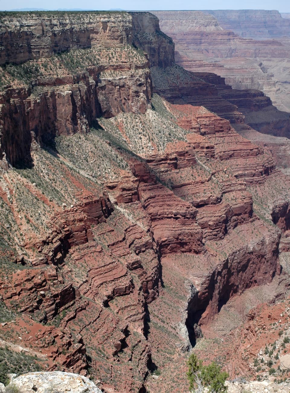
The Abyss is a named overlook on the South Rim’s Hermit Road, between Mohave Point and Monument Creek Vista. From the rim, the canyon falls almost straight down into the Monument Creek drainage. The National Park Service gives the cliff a drop of about 3,000 feet (914 m), the longest of its kind along the South Rim. It is a quick stop for that sudden change in scale; some visitors find the neighboring views more distinctive.

Read the cliffLook for pale blocks of rock scattered across the red slopes.

Look for pale blocks of rock scattered across the red slopes. There is no fault channeling much runoff into a side canyon here, so the park says gravity pulling rock from the face does more of the shaping than water cutting a channel. Follow the wall down and you are looking toward Monument Creek, with the Colorado River at Granite Rapids farther below.

For a photo, keep the pale rockfall patches and red slope together in the frame; a wide canyon-only shot can lose the feature that makes this stop different.

Getting to the stopFrom March through November, Hermit Road is closed to private cars.

From March through November, Hermit Road is closed to private cars. Reach The Abyss by the free Red Route shuttle, on foot, by bicycle, or on a commercial tour. Its shuttle stop serves the outbound trip toward Hermits Rest only, so account for that direction when planning where to get off. From December through February, the shuttle does not run and private vehicles under 22 feet may use the road. The park lists a bicycle rack and shuttle stop here, but no food or restroom; plan your supplies before setting out.

Follow the rimThe dirt Rim Trail runs 0.9 mile west to Monument Creek Vista and 1.

The dirt Rim Trail runs 0.9 mile west to Monument Creek Vista and 1.1 miles east to Mohave Point. The overlook itself is beside the stop; walking a little along the established trail gives you different angles on the wall. Keep to the trail and take care near the canyon edge.

Wildlife

Wildlife in Grand Canyon

All Grand Canyon wildlife maps

Sighting maps show where each species has been reported across Grand Canyon. Wildlife moves, so no sighting is guaranteed.

Keep exploring

Near The Abyss

See it all on the map

Trails nearby

More stops nearby

Parkwolf’s Grand Canyon ranking

Top sights in Grand Canyon

All 96 places
  1. 1Mather PointSight
  2. 2Desert View WatchtowerSight
  3. 3Yavapai Geology MuseumSight
  4. 4Hopi PointSight
  5. 5Toroweap OverlookSight
  6. 6Point ImperialSight

Take Parkwolf to Grand Canyon.

The audio tour guide for the drive, plus offline maps, trails, and wildlife heatmaps for when the signal drops.

4.7 from 8,600+ ratings

Download Parkwolf on the App StoreGet Parkwolf on Google Play