Parking
No verified public parking or approach is known for either mapped endpoint. The mapped east endpoint touches another named line, but access and legality are unconfirmed; contact the park before planning a start.

Grand Canyon National Park, AZ
A remote, rough forest track across the Walhalla Plateau.
Overview
Map & elevation
Plan your hike

The highest, rockiest slopes around here are a summer buffet for grizzly bears.
Grand Canyon Tour Guide
Parkwolf is a GPS audio tour guide for Grand Canyon National Park. As you drive, it chimes in with what’s ahead: hidden gems, upcoming stops, history, geology, and wildlife, right through your car’s speakers.
See the Grand Canyon audio tourRecorded for this area
Living Connections to the Canyon“Eleven tribes maintain cultural connections to this canyon today, including the Havasupai, Hopi and Navajo.”
Plays on the road 0.6 mi from the trailhead in the Parkwolf Grand Canyon Tour Guide.
More stories near here in the app
“Fantastic app with many points of information… It’s great to just turn on while you’re driving and it gives you an audio tour of the national Park. We love it!!!!”


Trail guide
Walhalla Spur is a remote 5.4-mile out-and-back on the Walhalla Plateau, following a 2.7-mile mapped spur through pine forest and returning the same way. The mapped line follows a primitive former road and has no documented viewpoint or built destination. This is the historic Walhalla Spur, not the short Walhalla Glades Pueblo walk near Walhalla Overlook.
The 5.4-mile figure treats the mapped 2.7-mile corridor as the outbound leg; the route line draws that corridor once. Allow about 3 hours. Its mapped east endpoint meets another named line, but neither endpoint is confirmed as public trail access and no legal parking or approach was verified. Confirm a public approach and current walkability with the park before setting out; current tread and on-route facilities are not documented.
A 1998 plan called the spur Primitive and proposed converting the former road to a hiking trail. That records historical intent, not present maintenance or access. Pets are not allowed on this route; North Rim pet access is limited to the Bridle Trail and the Arizona Trail north to the entrance station.
Wildlife
 718 sightingsCalifornia CondorMost seen around 5 PMSighting map
 533 sightingsBighorn SheepMost seen around 7 AMSighting map
 169 sightingsAmerican BisonMost seen around 7 PMSighting map
 1,891 sightingsElkMost seen around 6 AMSighting map
 59 sightingsCoyoteMost seen around 6 PMSighting map
 27 sightingsGray FoxMost seen around 6 AMSighting map
Sighting maps show where each species has been reported across Grand Canyon. Wildlife moves, so no sighting is guaranteed.
Keep exploring
 ModerateCape Final Trail4.2 mi · 3 hr · 2.4 mi awayA pine walk ends at an open rocky point above the canyon.
 EasyRoosevelt Point Trail0.3 mi · 24 min · 2.8 mi awayA woodland loop opens to the Painted Desert and canyon views.
 EasyWalhalla Glades Pueblo Trail0.2 mi · 15 min · 3.1 mi awayA short pine walk reveals a 900-year-old settlement.
 ModerateFrancois Matthes Trail10.7 mi · 5.5 hr · 3.3 mi awayA long former road to a brush-framed North Rim overlook.
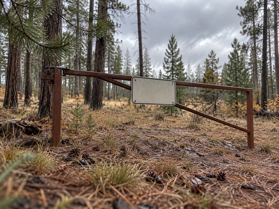 ModerateWalhalla Glades Trail15 mi · 6 hr · 3.3 mi awayA 15-mile out-and-back on Walhalla Plateau's old road.
 ModerateCliff Springs Trail0.8 mi · 1.5 hr · 3.6 mi awayA short, steep walk to a spring beneath a red rock overhang.
 EasyCape Royal Trail0.8 mi · 1 hr · 3.8 mi awayAn easy paved walk to a natural arch and wide canyon views.
 ModerateKomo Point Trail10 mi · 4.5 hr · 4.1 mi awayFollow a fading old road to a remote canyon rim.
 Sight · 2.8 mi awayRoosevelt PointA short walk finishes at an east-facing canyon panorama.
 Sight · 3 mi awayWalhalla Glades PuebloA short walk to a 900-year-old pueblo home site.
 Sight · 3.2 mi awayWalhalla OverlookA broad Unkar Delta view, with a pueblo across the road.Sight · 3.5 mi awayCape FinalA 4.2-mile forest hike ends with a wide canyon panorama.
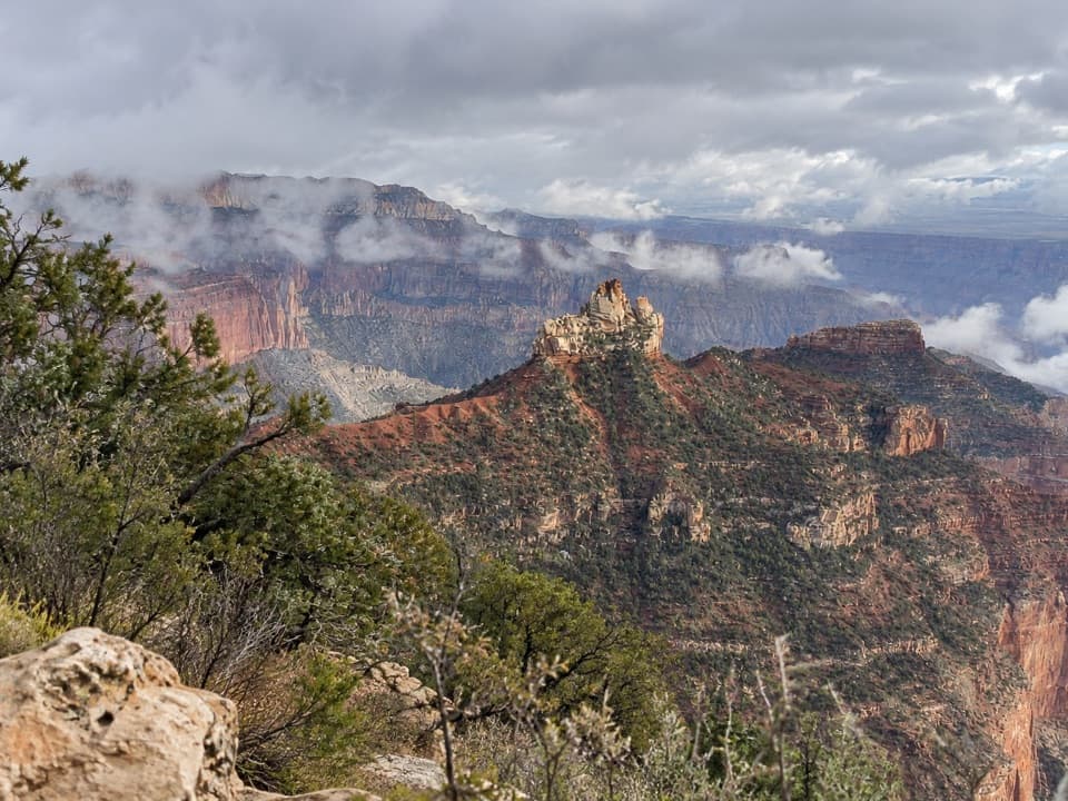 Picnic area · 3.9 mi awayVista EncantadaA pine-shaded picnic stop above the North Rim’s layered cliffs.
 Sight · 4 mi awayAngels WindowThe Colorado River framed through a natural arch.
 Sight · 4.1 mi awayCape RoyalA 23-mile North Rim drive opens onto a 270-degree canyon view.
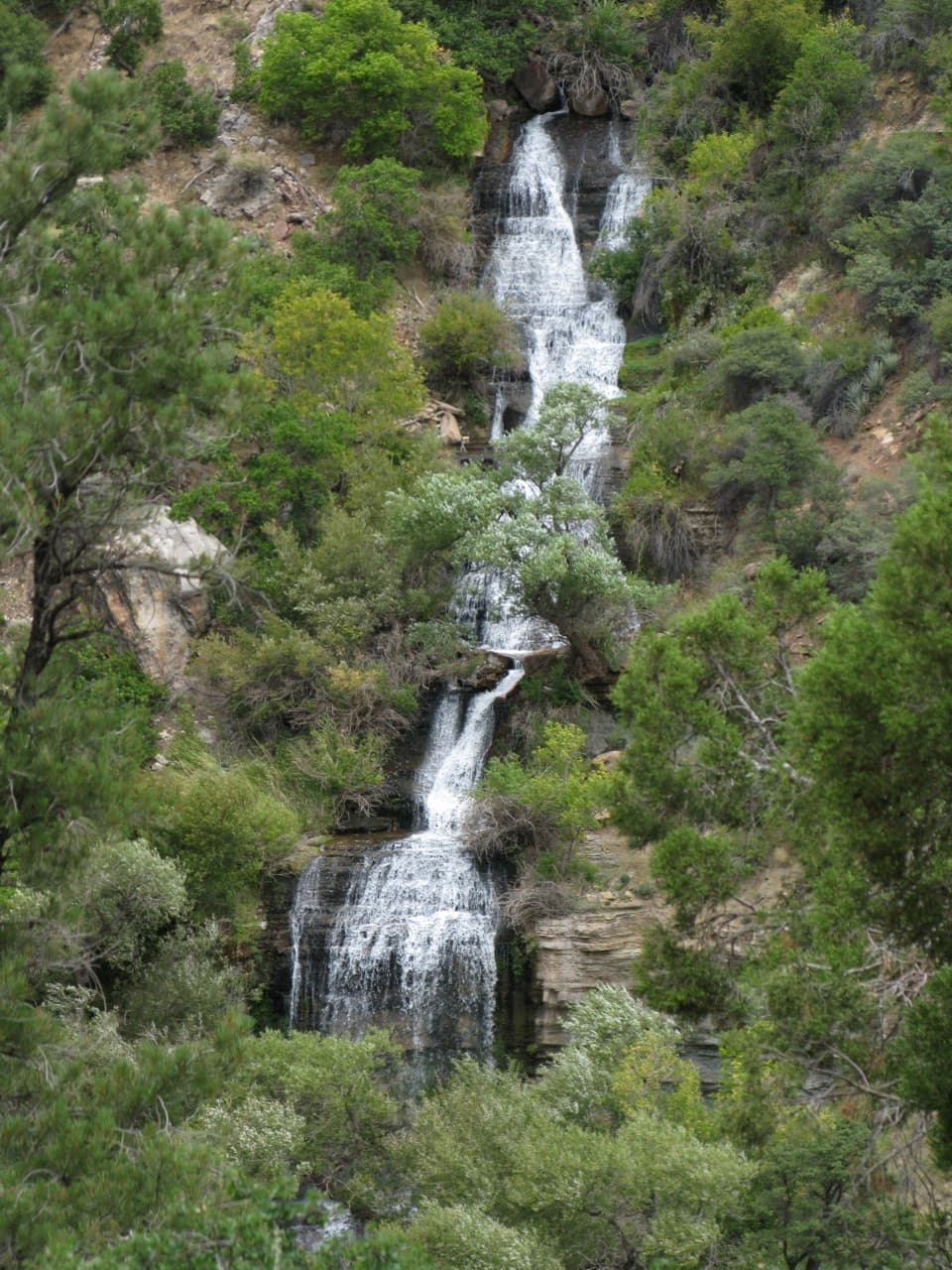 Sight · 4.7 mi awayRoaring SpringsA lush waterfall at the end of a steep canyon hike.
Parkwolf’s Grand Canyon ranking

The audio tour guide for the drive, plus offline maps, trails, and wildlife heatmaps for when the signal drops.




