Place
Challenging

If you want Grand Canyon grandeur without the crowds, South Bass is the ticket. It’s rugged, quiet, and wonderfully old‑school: cairn-to-cairn route-finding, big geology on display, and a beach at the Colorado River where you might watch rafters drift by. This is a serious backcountry route for experienced, self-sufficient hikers—rewarding precisely because it demands commitment.
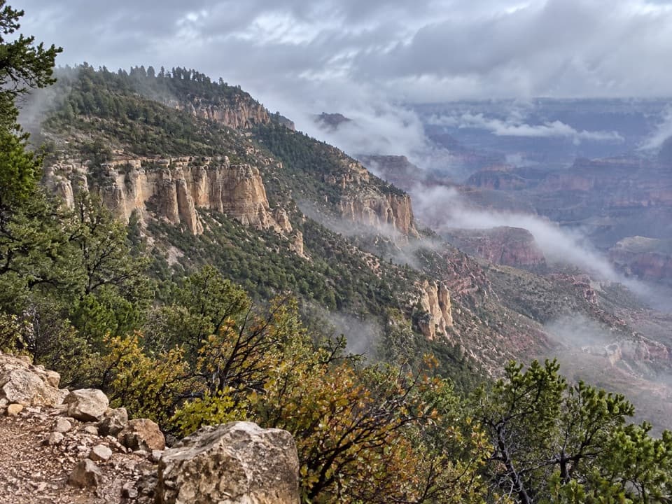
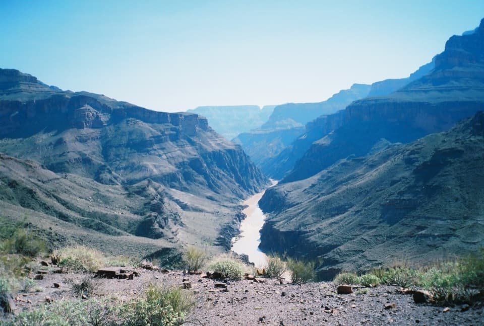
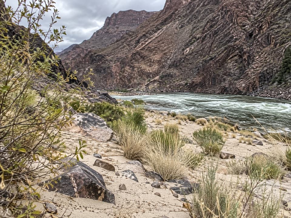
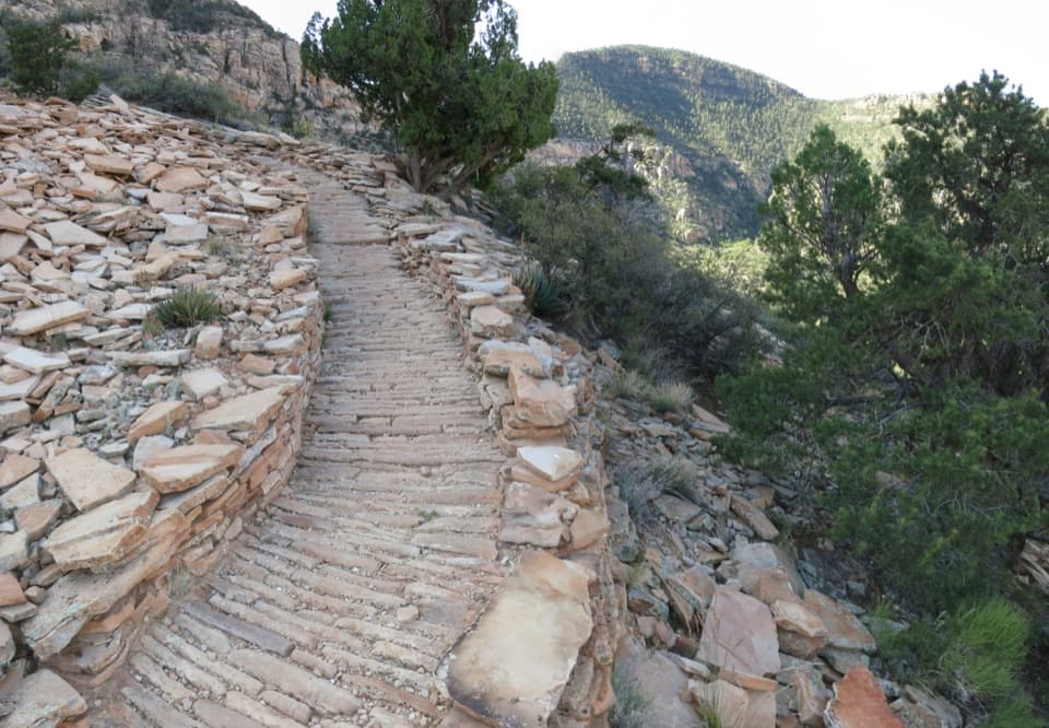
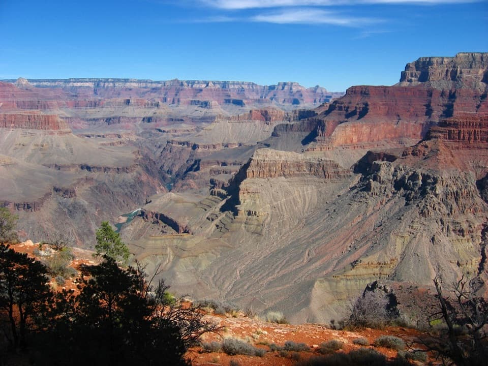
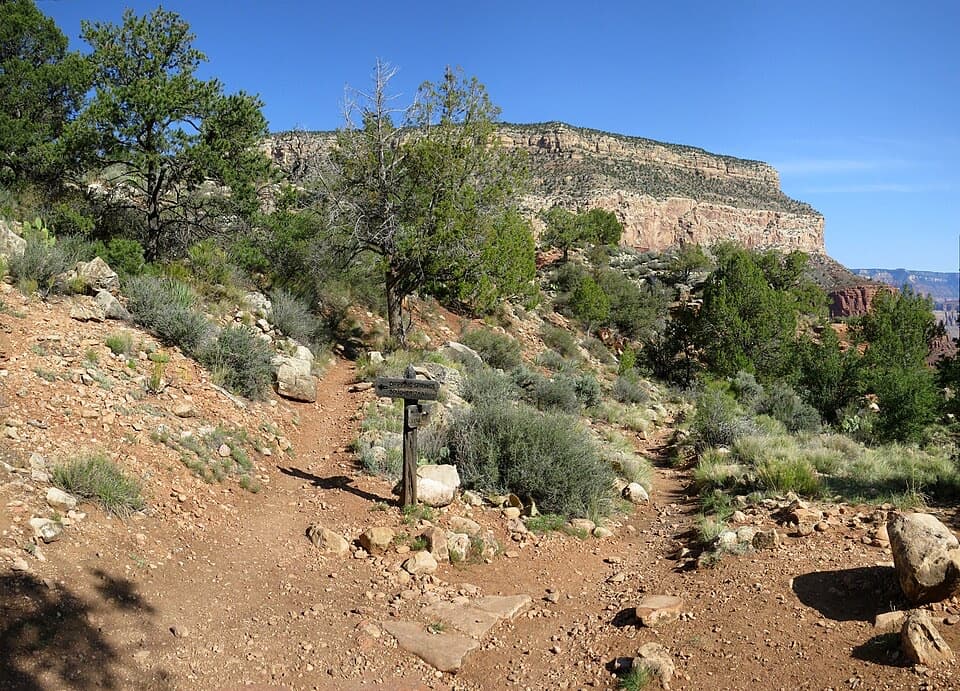
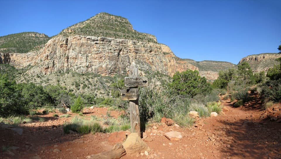
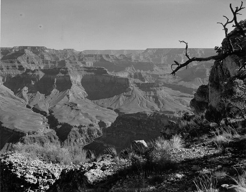
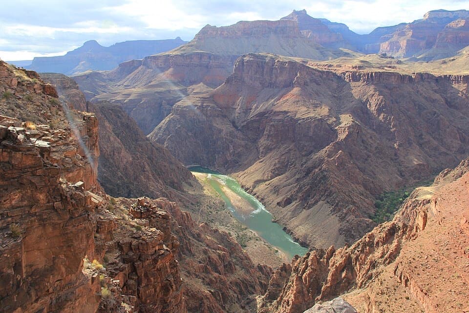
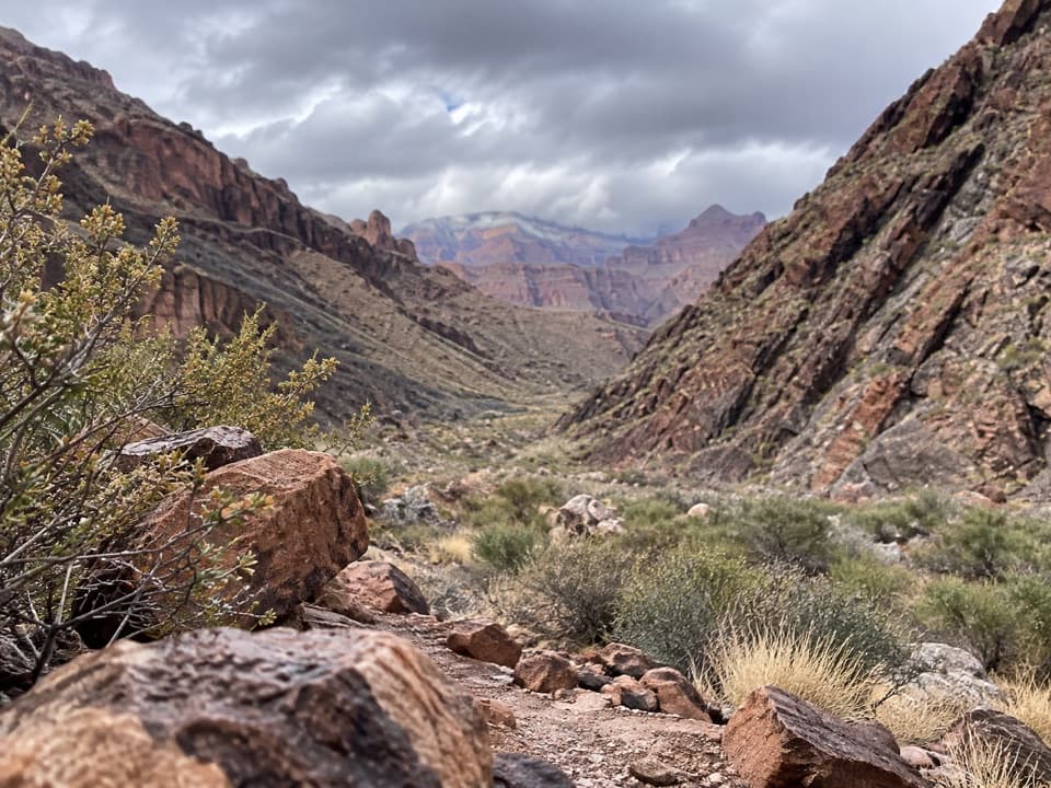
From the South Rim, the trail drops through layers of classic canyon geology—broad Esplanade sandstone, ledgy Supai, a break through the Redwall, and onto the Tonto Group benches—while weaving in and out of Bass Canyon. Expect steep descents, narrow ledges, loose scree, and sections where the path seems to vanish; cairns mark key turns (including the Tonto Trail junction), but you’ll still need solid route-finding. Near the bottom, there are two ways to the river: a steep, rocky shortcut, or a gentler, slightly longer line toward a historic fireplace. At the river, you’ll reach a beach near rapids and may spot the abandoned Ross Wheeler metal boat—an evocative remnant of early river travel.
Plan on about 8–9 miles one way (rim to river) with roughly 4,000–4,500 feet of elevation loss—and the same gain on the return if you go back out the way you came. Most hikers turn this into a 2–3 day backpack rather than a grueling day push.
This route has deep roots: first used by Indigenous peoples (Cohonina and later Havasupai) and later improved by canyon pioneer William Bass for horseback travel and tourism. The landscapes you move through—Esplanade shelves, Supai ledges, Redwall limestone walls, and the sloping Tonto bench—are a living geology lesson you’ll literally walk across.
There is no reliable water on the trail—plan to filter from the Colorado River only. Popular camps sit on the Esplanade (stellar sunsets) and down at the beach; overnight trips require a Grand Canyon backcountry permit. The trail links with the Tonto Trail for extended itineraries. Heads-up if you’re scheming westward: the Tonto bench pinches out by Garnet Canyon, and there are no easy bailouts once you’re committed, especially west of Boucher Creek.
Reaching the trailhead is part of the adventure: a long, rough dirt drive (often cited as around two hours on Forest Road 328) that favors high-clearance vehicles. There are no services and little to no cell coverage—arrive fully self-sufficient. A Havasupai reservation fee may be required if your drive crosses tribal land; verify current instructions and carry proof of payment. Pets are not allowed below the rim.
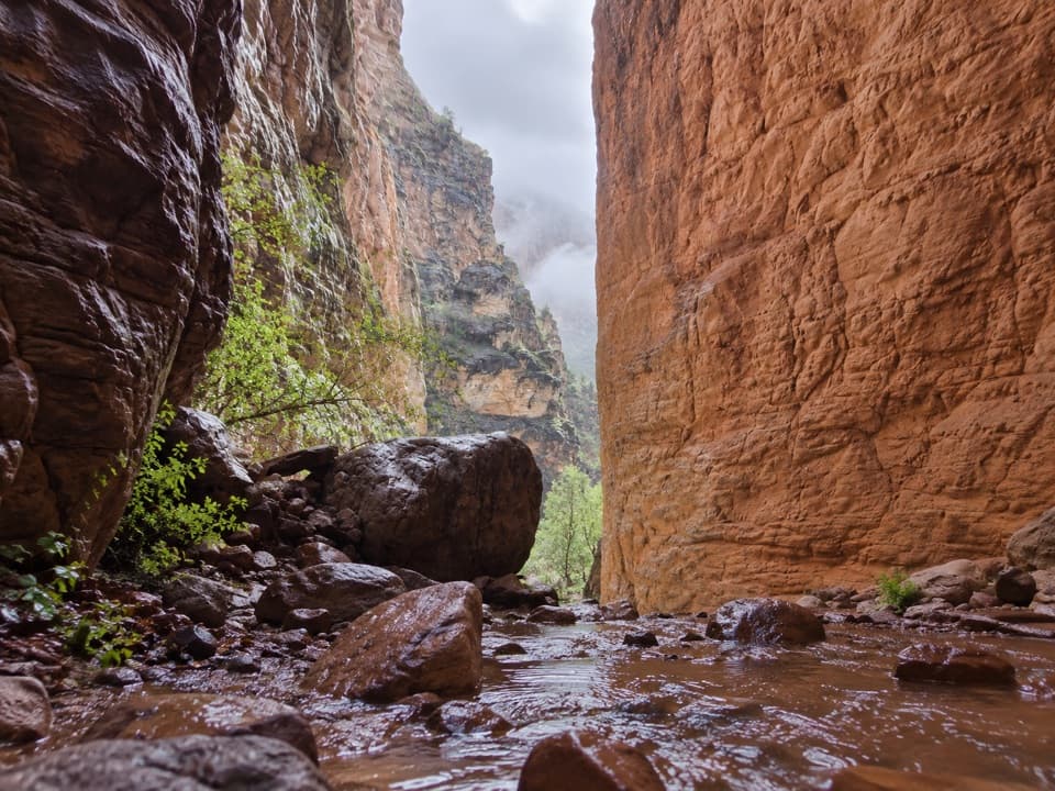
Spring and fall bring the most forgiving temperatures. Summer is brutally hot with little shade, and late-summer monsoon storms can trigger flash floods in drainages. Winter can mean snow/ice on the rim and tricky road access. For photos, sunrise and sunset light the Esplanade and Supai cliffs beautifully—just plan your water and camp locations accordingly.
South Bass is a superb, strenuous, and lonely slice of the Grand Canyon. If you’re after solitude, history, and big country—and you’re confident with navigation and self-support—it’s absolutely worth it. If you prefer maintained, signed, and social trails, look elsewhere.
Park at the remote trailhead at the end of a long, rough dirt road (Forest Road 328). No services, limited or no cell coverage; high-clearance vehicle recommended.
Strenuous, unmaintained route with steep ledges, loose scree, minimal shade, and confusing sections—follow cairns carefully. No reliable water except the Colorado River (must filter). Flash-flood risk in monsoon season. Once on the Tonto westward, bailouts are scarce.