Parking
Small parking area on the south side of Grassy Lake Road between the fifth and sixth campsites; the trailhead sign sits back from the road. The road is seasonally closed until early June, so confirm it is open before an early-season trip.

Grand Teton National Park, WY
A full-day loop through Grand Teton’s remote northern canyons.
Overview
Map & elevation
Plan your hike

The highest, rockiest slopes around here are a summer buffet for grizzly bears.
Grand Teton Tour Guide
Parkwolf is a GPS audio tour guide for Grand Teton National Park. As you drive, it chimes in with what’s ahead: hidden gems, upcoming stops, history, geology, and wildlife, right through your car’s speakers.
See the Grand Teton audio tourMore stories near here in the app
“…We have been driving around with the audio tour and it has been informational and spot on. The whole family has been impressed. We used it for Yellowstone and Grand Teton.”


Trail guide
This is a 20.1-mile loop from Glade Creek Trailhead, linking Glade Creek, Berry Creek, the Owl-Berry Cutoff and Owl Creek. Follow Glade Creek south to the Berry Creek junction, turn west to the cutoff, then take it south to Owl Creek and return east to Glade Creek. The way back follows the Glade Creek access to the trailhead, retracing part of the approach. Count that shared stretch twice; it is included in the full distance. Allow about nine hours and a full day.
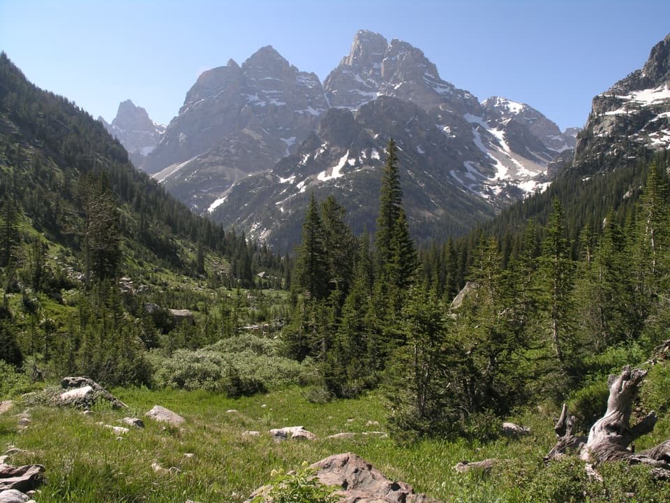
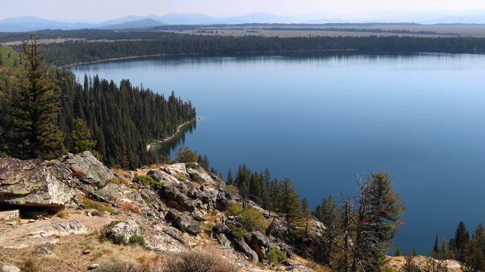
The first stretch crosses the 1988 Huck Fire footprint before moving into mixed conifer forest and the greener creek drainage. A small footbridge comes about 1.5 miles in, followed by small stream crossings that can leave boots wet earlier in the season. Farther on, the trail opens into a meadow where the Snake River widens into Jackson Lake. Osprey, eagles and sandhill cranes are often visible there, and Columbia monkshood blooms along the creek later in the season.
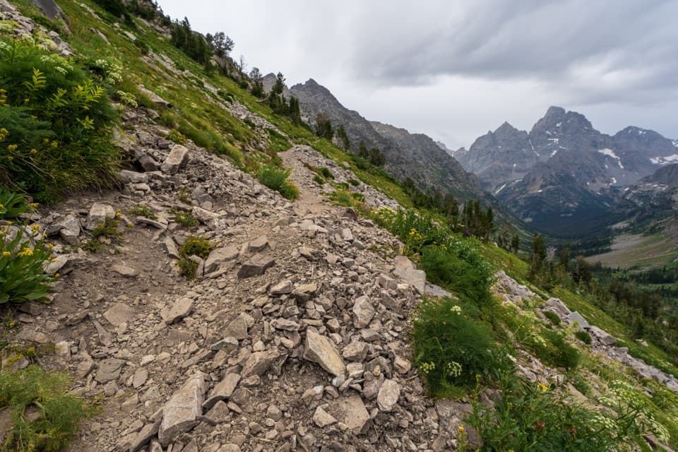
Berry Creek and Owl Creek lead through Grand Teton’s remote northern canyons. This is a demanding day for its distance and the amount of route-finding, not a quick walk to a single viewpoint. Trails here are hard to navigate, bear activity is high, and the route includes unbridged stream crossings that can become difficult and dangerous during spring runoff. Bring a map and compass or a reliable GPS track and be ready to turn around if a crossing is unsafe.
The small trailhead parking area is on the south side of Grassy Lake Road between the fifth and sixth campsites; the sign is set back from the road. Grassy Lake Road is seasonally closed until early June, so check that it has opened before an early-season trip. Pets are not allowed on park trails or in the backcountry. A backcountry permit is required for overnight camping in the northern canyons.
Wildlife
 172 sightingsGrizzly BearMost seen around 7 PMSighting map
 195 sightingsBrown BearMost seen around 6 AMSighting map
 32 sightingsGray WolfMost seen around 7 PMSighting map
 1,816 sightingsMooseMost seen around 7 AMSighting map
 614 sightingsBisonMost seen around 6 AMSighting map
 738 sightingsElkMost seen around 7 PMSighting map
Sighting maps show where each species has been reported across Grand Teton. Wildlife moves, so no sighting is guaranteed.
Keep exploring
 ChallengingBerry-Webb Canyon Loop34.2 mi · 1 day · At the trailheadThree remote canyons, a high divide, and a serious backcountry commitment.
 ModerateGlade Creek Trail7 mi · 3.5 hr · At the trailheadMeadow birds and a creek crossing reward this remote walk.
 EasyFlagg Canyon Trail5 mi · 2.5 hr · 2.8 mi awayEasy 5-mile out-and-back along the Snake River's basalt canyon.
 EasyPolecat Creek Loop2.5 mi · 1.8 hr · 3 mi awayAn easy loop for creek-side wetlands and forest regrowth.
 ChallengingBerry Creek Trail6.6 mi · 4.5 hr · 4.6 mi awayA remote canyon walk for practiced, self-reliant hikers.
 ChallengingOwl Creek Trail7.4 mi · 7.5 hr · 5.7 mi awayA remote canyon route ending at a rocky alpine divide.
 ChallengingWebb Canyon Trail9.9 mi · 10 hr · 6.3 mi awayA remote creek canyon that climbs steeply to Moose Basin Divide.
 ChallengingSurvey Peak Trail2.5 mi · 2.5 hr · 7.1 mi awayA remote backcountry link that passes below the peak it’s named for.
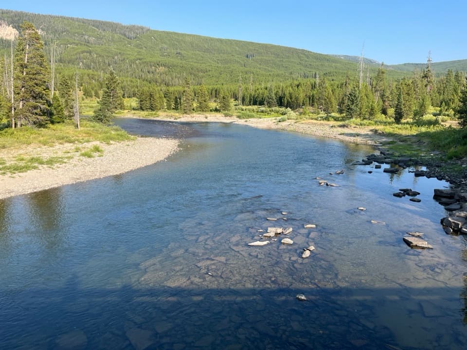 Sight · 2.9 mi awayFlagg Ranch Boat LaunchA simple ramp for putting a small boat on the upper Snake.
 Campground · 3 mi awayHeadwaters Campground & RV ParkFull-hookup RV sites and basic cabins between two parks.
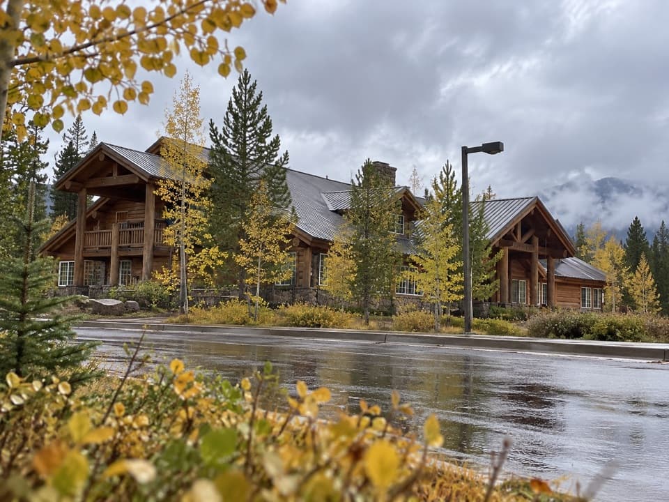 Lodging · 3 mi awayHeadwaters Lodge & Cabins at Flagg RanchA remote cabin base for splitting time between two parks.
 Scenic pullout · 3.1 mi awayHuck Fire TurnoutSee the forest patchwork left by the 1988 Huck Fire.
 Scenic pullout · 3.5 mi awayGrand Teton North Boundary TurnoutSnap the wooden boundary sign on pine-covered Huckleberry Hill.
 Scenic pullout · 4.2 mi awayJohn D. Rockefeller, Jr. Memorial Parkway North TurnoutAn orientation stop at the parkway’s Yellowstone boundary.
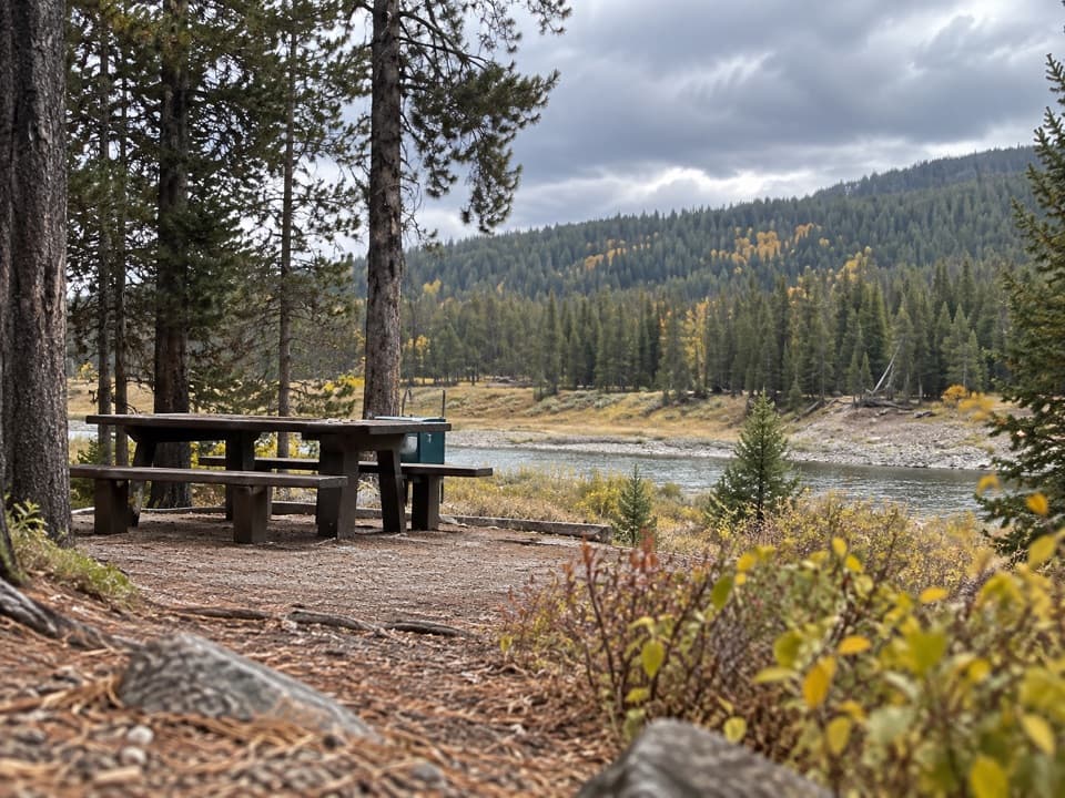 Picnic area · 4.2 mi awayFlagg Canyon Picnic AreaA shaded Snake River picnic stop, with a steep launch below.
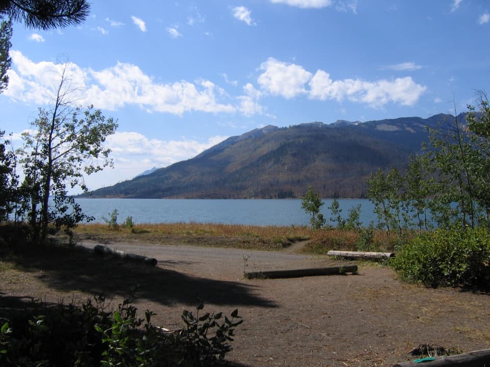 Campground · 6.2 mi awayLizard Creek CampgroundA forested basecamp on Jackson Lake near two national parks.
Parkwolf’s Grand Teton ranking

The audio tour guide for the drive, plus offline maps, trails, and wildlife heatmaps for when the signal drops.