Parking
Use Glade Creek Trailhead off Grassy Lake Road. The Berry Creek segment starts about 5.3 miles south along Glade Creek Trail at the Berry Creek/Glade Creek junction.

Grand Teton National Park, WY
A remote canyon walk for practiced, self-reliant hikers.
Overview
Map & elevation
Plan your hike

The highest, rockiest slopes around here are a summer buffet for grizzly bears.
Grand Teton Tour Guide
Parkwolf is a GPS audio tour guide for Grand Teton National Park. As you drive, it chimes in with what’s ahead: hidden gems, upcoming stops, history, geology, and wildlife, right through your car’s speakers.
See the Grand Teton audio tourRecorded for this area
Seeds Waiting for Fire“Some lodgepole pine cones stay sealed for years, holding seeds until a fire heats them. The heat melts the resin keeping the scales shut, and the seeds fall onto newly opened ground.”
Plays on the road 1.6 mi from the trailhead in the Parkwolf Grand Teton Tour Guide.
More stories near here in the app
“…We have been driving around with the audio tour and it has been informational and spot on. The whole family has been impressed. We used it for Yellowstone and Grand Teton.”


Trail guide
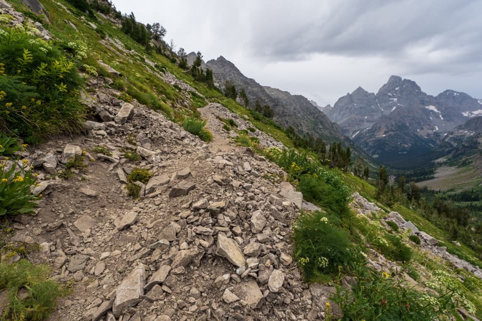
Berry Creek Trail is a remote 6.6-mile, one-way backcountry route from the Berry Creek/Glade Creek junction to the western junction with Jackass Pass Trail. The NPS backcountry map rounds the corridor to 6.7 miles. Jackass Pass itself lies farther west: following the separate Jackass Pass Trail adds about 2.1 miles. Allow around four to five hours for the Berry Creek segment alone, with about 840 feet of total climbing. This is a through-route, not a loop.
The road access is Glade Creek Trailhead on Grassy Lake Road. From there, Glade Creek Trail runs about 5.3 miles south to Berry Creek's start, so this 6.6-mile section is already deep in the backcountry. Include that approach and the far-end logistics when planning; the number above is not the full trip from your car. Grassy Lake Road has a seasonal spring closure through early June, so check its status before you go.
The National Park Service describes these northern canyons as hard to access and navigate, with high bear activity and unbridged stream crossings. Spring melt can make crossings dangerous. Bring reliable navigation and plan an overnight backcountry permit if your itinerary camps; the northern canyons have zone limits. Current trail conditions and maintenance status weren't established, so check with the park before committing.
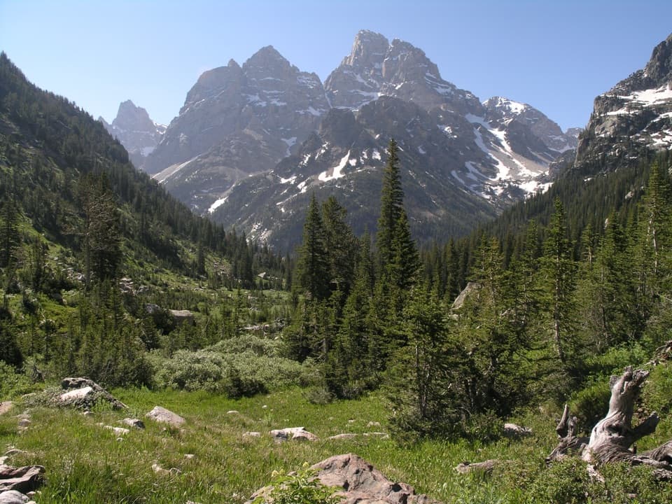
The Berry Creek section moves through lodgepole forest and open meadows. In midsummer, the meadows can hold lupine and columbine. This is a remote canyon route, not a summit walk or a developed destination path; for Jackass Pass itself, continue another 2.1 miles on the separate trail.
Wildlife
 172 sightingsGrizzly BearMost seen around 7 PMSighting map
 195 sightingsBrown BearMost seen around 6 AMSighting map
 32 sightingsGray WolfMost seen around 7 PMSighting map
 1,816 sightingsMooseMost seen around 7 AMSighting map
 614 sightingsBisonMost seen around 6 AMSighting map
 738 sightingsElkMost seen around 7 PMSighting map
Sighting maps show where each species has been reported across Grand Teton. Wildlife moves, so no sighting is guaranteed.
Keep exploring
 ChallengingWebb Canyon Trail9.9 mi · 10 hr · 1.8 mi awayA remote creek canyon that climbs steeply to Moose Basin Divide.
 ChallengingOwl Creek Trail7.4 mi · 7.5 hr · 2.3 mi awayA remote canyon route ending at a rocky alpine divide.
 ModerateGlade Creek Trail7 mi · 3.5 hr · 4.6 mi awayMeadow birds and a creek crossing reward this remote walk.
 ChallengingBerry-Webb Canyon Loop34.2 mi · 1 day · 4.6 mi awayThree remote canyons, a high divide, and a serious backcountry commitment.
 ChallengingBerry Creek–Owl Creek Loop20.1 mi · 9 hr · 4.6 mi awayA full-day loop through Grand Teton’s remote northern canyons.
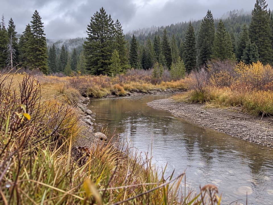 ChallengingArizona Creek Trail15.8 mi · 8 hr · 5.3 mi awayA long forested return beside Arizona Creek and into the backcountry.
 EasyFlagg Canyon Trail5 mi · 2.5 hr · 6.3 mi awayEasy 5-mile out-and-back along the Snake River's basalt canyon.
 EasyPolecat Creek Loop2.5 mi · 1.8 hr · 6.6 mi awayAn easy loop for creek-side wetlands and forest regrowth.
 Scenic pullout · 2.2 mi awayGrand Teton North Boundary TurnoutSnap the wooden boundary sign on pine-covered Huckleberry Hill.
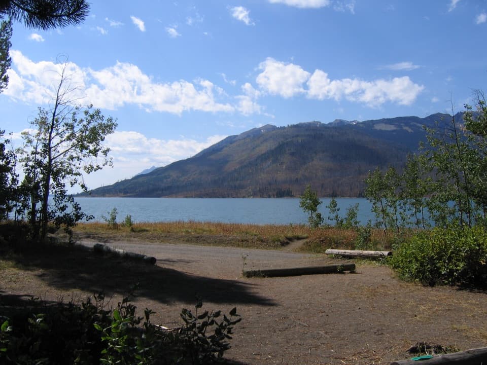 Campground · 2.3 mi awayLizard Creek CampgroundA forested basecamp on Jackson Lake near two national parks.
 Scenic pullout · 2.6 mi awayHuck Fire TurnoutSee the forest patchwork left by the 1988 Huck Fire.
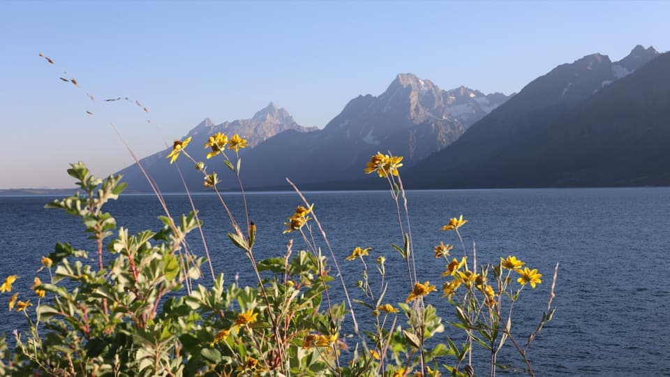 Picnic area · 2.9 mi awayMud Flats Picnic AreaOne table, a Teton view, and a changing Jackson Lake shoreline.
 Sight · 4.3 mi awayJackson Lake OverlookTetons across the lake, and a visible story of fire.
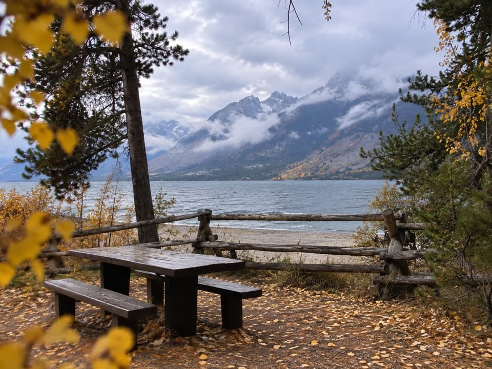 Picnic area · 4.7 mi awayLakeview Picnic AreaA shaded lunch stop with Jackson Lake and Teton views
 Scenic pullout · 5 mi awayArizona Meadows TurnoutA small pullout with a memorable camas food-history story.
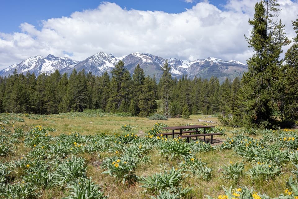 Picnic area · 5.8 mi awayArizona Island Picnic AreaA quiet meadow picnic with a surprisingly grim namesake.
Parkwolf’s Grand Teton ranking

The audio tour guide for the drive, plus offline maps, trails, and wildlife heatmaps for when the signal drops.