Pros & cons
PROS
- True solitude in the park’s far northern backcountry
- Natural water sources along most of the route (treat before drinking)
- Links Berry Creek and Webb Canyon for excellent multi‑day loops
CONS
- Long approach (about 11.5 miles) before the Owl Creek segment even begins
- Overgrown or muddy stretches and seasonal creek crossings complicate travel
- Remote setting means limited signage and self‑reliance is essential
Park at the Glade Creek Trailhead in the John D. Rockefeller, Jr. Memorial Parkway; from there it’s ~7.5 miles to Berry Creek Trail and ~4 more to the Owl Creek junction.
Prime bear habitat, variable and overgrown tread, multiple creek crossings early season, and fast‑changing mountain weather in very remote terrain.
Overview
This is the far‑north backcountry experience most visitors never see. The Owl Creek Trail is a 7.3‑mile point‑to‑point connector that runs from the Berry Creek Trail to Moose Basin Divide, where it meets the Webb Canyon Trail. Practically speaking, most hikers reach it from the Glade Creek Trailhead in the John D. Rockefeller, Jr. Memorial Parkway—about 7.5 miles to Berry Creek, then roughly 4 more miles to the Owl Creek junction before the 7.3‑mile Owl Creek segment even begins. It’s a serious commitment that rewards you with solitude, big‑country vibes, and a true wilderness feel.
Trail Experience
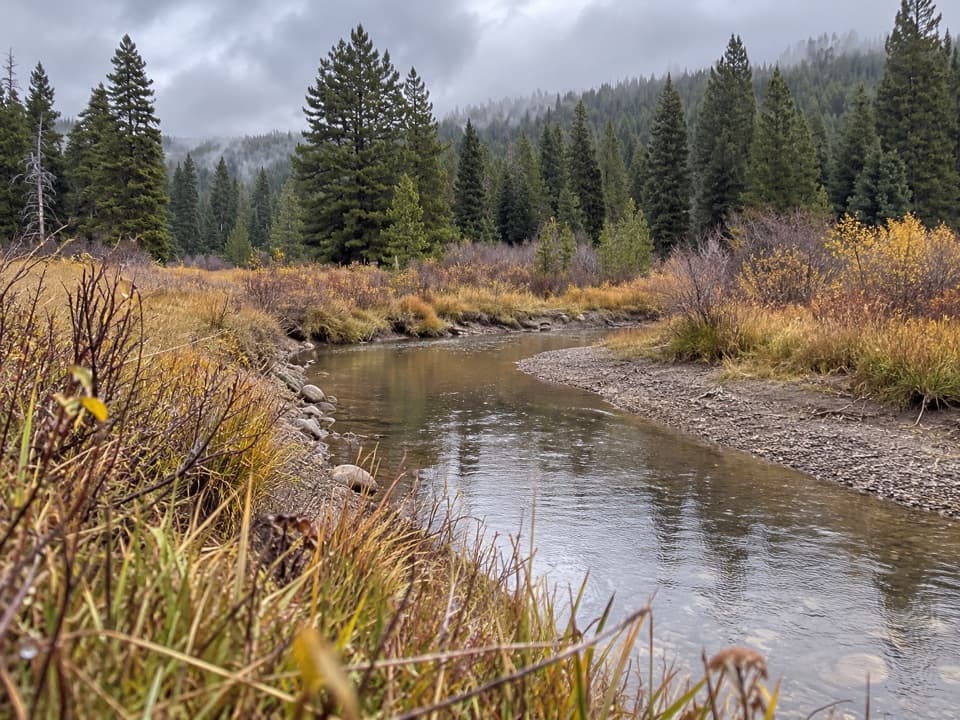
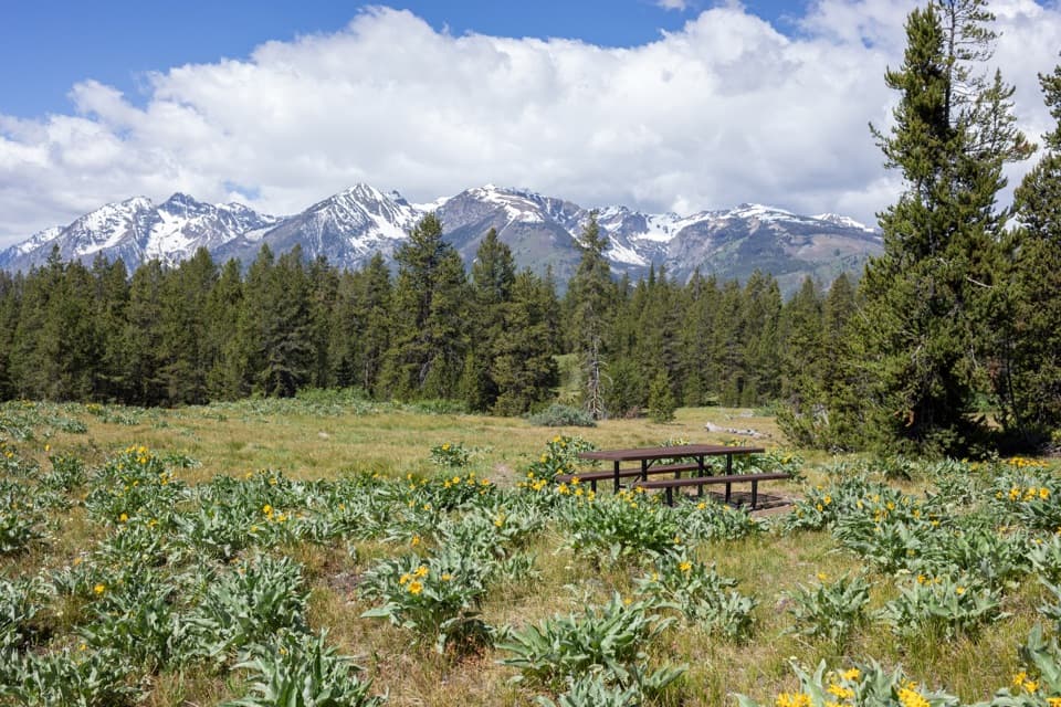
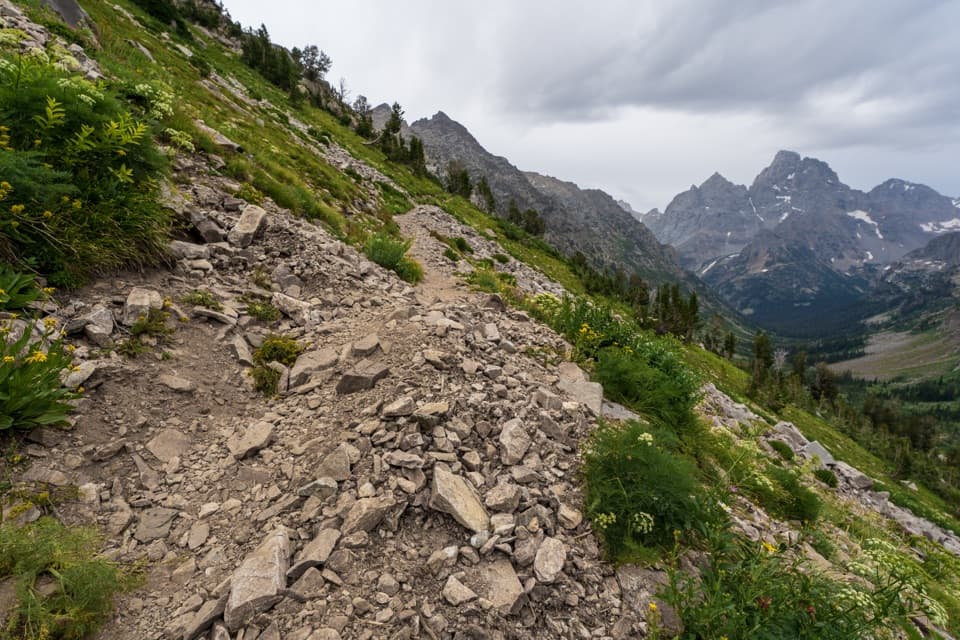
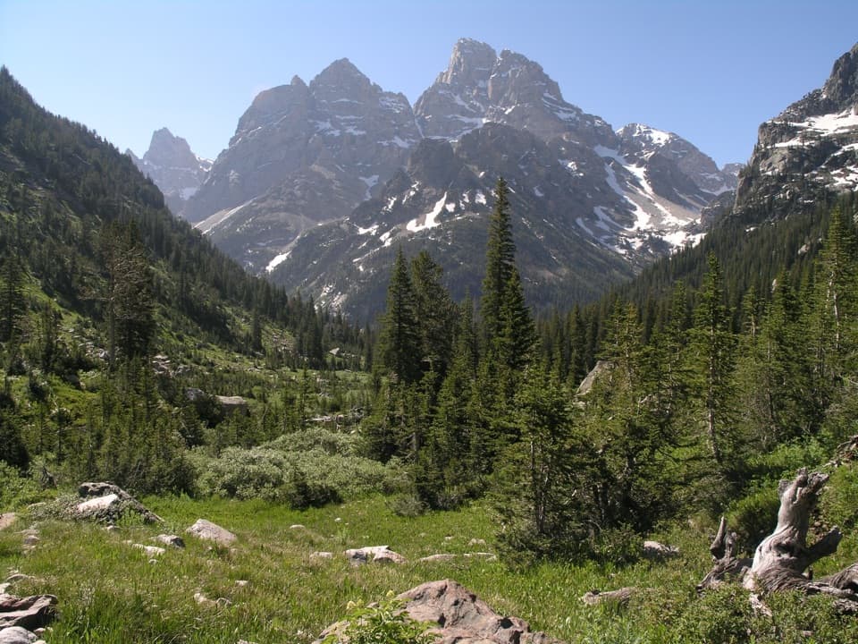
The route follows the Owl Creek drainage through a mix of lodgepole and aspen forests that open into wildflower meadows, then climbs toward more rugged alpine terrain near Moose Basin Divide, skirting south of Forellen Peak. Expect a remote, seldom‑traveled tread that can be muddy, faint, or overgrown in places, with several small stream crossings—especially early season. Wildlife is part of the draw here, with mule deer and black bears at home in these quiet valleys. Carry a filter; streams are frequent but must be treated.
Difficulty and Logistics
The 7.3‑mile length refers to the Owl Creek segment itself; most itineraries include the long approach from Glade Creek. Plan for a long day if you’re covering the full segment in one push, or build it into a multi‑day linking Berry Creek and Webb Canyon. This is advanced backcountry travel: remote setting, variable trail conditions, and significant elevation changes on loop options. Overnight trips require a backcountry permit. No pets allowed on park trails.
Best Time to Hike
Aim for late summer (July–September) when lingering snow has melted from higher country, creeks are lower, and meadows are in bloom. Early season can bring high water at crossings and patchy snow. Mountain weather shifts fast—afternoon storms are common—so start early and be prepared.
Tips
Carry bear spray and know how to use it. Waterproof boots help with creek splashes and muddy sections. Navigation tools (map/GPS) are smart here; signage and tread can be sparse. Plan your camps carefully to align with backcountry regulations. If you want a quick, easy hit of Teton scenery, this isn’t it—if you want solitude and a wild corridor to Moose Basin Divide, it’s hard to beat.
Elevation
7.3 mi · 6 hrWhere it starts
44.0897, -110.7243Wildlife on this trail
Near Owl Creek Trail
All places →All trails →
0 mi awaySurvey Peak TrailRemote northern Teton summit with big views and real solitude.Challenging · 12 mi · 7 hr
3 mi awayHeadwaters Lodge & Cabins at Flagg RanchBest basecamp between the Tetons and Yellowstone with cabins and campsitesRestroom · Parking
3.1 mi awayFlagg Ranch Information StationSmall, super-handy stop to plan your Teton day after YellowstoneRestroom · Visitor Center
3.2 mi awayBerry Creek TrailRemote, wild Teton traverse for solitude seekers and strong legs.Challenging · 12 mi · 8.5 hr
6.2 mi awayLizard Creek CampgroundQuiet lakeside camps with Jackson Lake and Teton viewsCampground · Restroom
6.8 mi awayWebb Canyon TrailRemote glacial canyon trek with big solitude and serious creek crossingsChallenging · 9.9 mi · 8 hr
8.1 mi awayJackson Lake OverlookQuick pullout with big Jackson Lake and Teton skyline viewsPullout · Parking
13.5 mi awayLakeshore Trail (Colter Bay)Easy lakeside loop with wide Jackson Lake and Mt. Moran viewsEasy · 2 mi · 1 hr