Parking
Use Glade Creek Trailhead on Grassy Lake Road, then follow Glade Creek Trail to Warm Springs. The 9.9-mile route begins at Warm Springs, so count the approach separately.

Grand Teton National Park, WY
A remote creek canyon that climbs steeply to Moose Basin Divide.
Overview
Map & elevation
Plan your hike

The highest, rockiest slopes around here are a summer buffet for grizzly bears.
Grand Teton Tour Guide
Parkwolf is a GPS audio tour guide for Grand Teton National Park. As you drive, it chimes in with what’s ahead: hidden gems, upcoming stops, history, geology, and wildlife, right through your car’s speakers.
See the Grand Teton audio tourRecorded for this area
Lizard Creek Campground: A Northern Lake Base“You're coming up on Lizard Creek Campground, a wooded summer base near the northern end of Jackson Lake. It's a useful choice if you're splitting time between Grand Teton and Yellowstone.”
Plays on the road 1.4 mi from the trailhead in the Parkwolf Grand Teton Tour Guide.
More stories near here in the app
“…We have been driving around with the audio tour and it has been informational and spot on. The whole family has been impressed. We used it for Yellowstone and Grand Teton.”


Trail guide
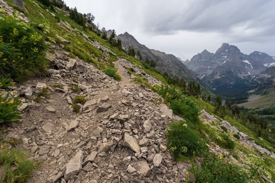
Webb Canyon Trail is a 9.9-mile, one-way backcountry route from Warm Springs to Moose Basin Divide. It follows Moose Creek through a glacially scoured canyon, then climbs into open basin country and steep switchbacks to the divide. The route gains about 3,300 feet and is a strenuous, remote traverse, not a loop or a casual day hike. Allow about ten hours for this one-way segment and plan your return or onward route before setting out; walking back to Warm Springs makes it roughly a 20-mile day.
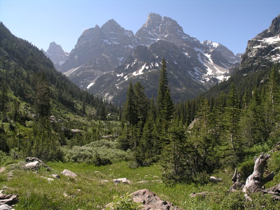
The trail quickly reaches an unbridged ford of Berry Creek, then follows Moose Creek west beneath Owl Peak, Elk Mountain and Ranger Peak. The lower canyon has easier climbing beneath trees, but stream crossings and route-finding can be difficult. Expect to navigate with a map and compass or GPS rather than relying on a clear, continuously obvious tread.
The route leaves the trees and opens into Moose Basin, turns north, climbs steeply through a gully and switchbacks west to the divide. Cairns mark the upper route. A trip account describes a broad view from the divide, the high point of this line; the route ends there. The longer Owl Creek circuit is a separate extension and is not included in the 9.9-mile distance.
Reach Warm Springs by following Glade Creek Trail from Glade Creek Trailhead on Grassy Lake Road; add that approach to your trip because the 9.9-mile figure starts at Warm Springs. The precise access is remote, and the named start is described both as Warm Springs and as an area near a patrol cabin off Glade Creek Trail. Overnight stays require a backcountry permit, with limits for the northern canyons; specify Webb Canyon in the itinerary. Bears, including grizzlies, are common here. Pets are prohibited on park trails and in the backcountry.
Wildlife
 172 sightingsGrizzly BearMost seen around 7 PMSighting map
 195 sightingsBrown BearMost seen around 6 AMSighting map
 32 sightingsGray WolfMost seen around 7 PMSighting map
 1,816 sightingsMooseMost seen around 7 AMSighting map
 614 sightingsBisonMost seen around 6 AMSighting map
 738 sightingsElkMost seen around 7 PMSighting map
Sighting maps show where each species has been reported across Grand Teton. Wildlife moves, so no sighting is guaranteed.
Keep exploring
 ChallengingBerry Creek Trail6.6 mi · 4.5 hr · 1.8 mi awayA remote canyon walk for practiced, self-reliant hikers.
 ChallengingOwl Creek Trail7.4 mi · 7.5 hr · 2.9 mi awayA remote canyon route ending at a rocky alpine divide.
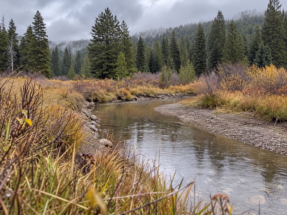 ChallengingArizona Creek Trail15.8 mi · 8 hr · 3.9 mi awayA long forested return beside Arizona Creek and into the backcountry.
 ModerateGlade Creek Trail7 mi · 3.5 hr · 6.3 mi awayMeadow birds and a creek crossing reward this remote walk.
 ChallengingBerry-Webb Canyon Loop34.2 mi · 1 day · 6.3 mi awayThree remote canyons, a high divide, and a serious backcountry commitment.
 ChallengingBerry Creek–Owl Creek Loop20.1 mi · 9 hr · 6.3 mi awayA full-day loop through Grand Teton’s remote northern canyons.
 EasyColter Bay Lakeshore Trail2.2 mi · 1.5 hr · 7.5 mi awayTwo shoreline loops trade forest walking for big Teton views.
 EasyHeron Pond-Swan Lake Loop Trail3.1 mi · 1.8 hr · 7.7 mi awayAn easy loop linking two ponds beneath the Tetons.
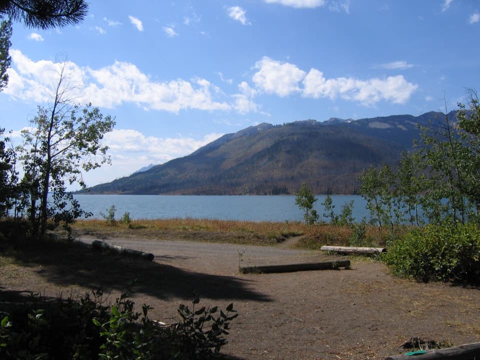 Campground · 1.3 mi awayLizard Creek CampgroundA forested basecamp on Jackson Lake near two national parks.
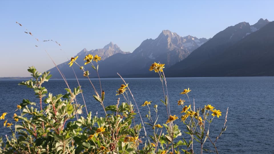 Picnic area · 1.9 mi awayMud Flats Picnic AreaOne table, a Teton view, and a changing Jackson Lake shoreline.
 Sight · 2.9 mi awayJackson Lake OverlookTetons across the lake, and a visible story of fire.
 Scenic pullout · 3.3 mi awayGrand Teton North Boundary TurnoutSnap the wooden boundary sign on pine-covered Huckleberry Hill.
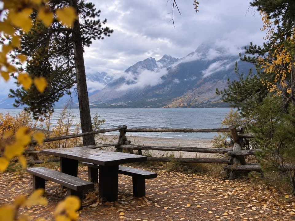 Picnic area · 3.3 mi awayLakeview Picnic AreaA shaded lunch stop with Jackson Lake and Teton views
 Scenic pullout · 3.6 mi awayArizona Meadows TurnoutA small pullout with a memorable camas food-history story.
 Scenic pullout · 3.8 mi awayHuck Fire TurnoutSee the forest patchwork left by the 1988 Huck Fire.
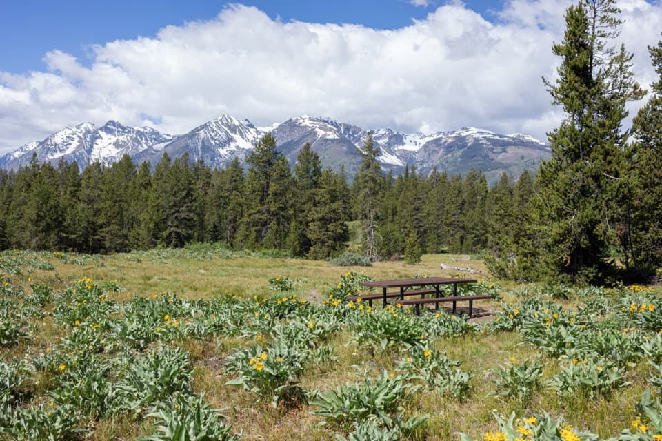 Picnic area · 4.3 mi awayArizona Island Picnic AreaA quiet meadow picnic with a surprisingly grim namesake.
Parkwolf’s Grand Teton ranking

The audio tour guide for the drive, plus offline maps, trails, and wildlife heatmaps for when the signal drops.