Parking
Park at Flagg Ranch, then cross the busy parkway to the river-side access. A second access is at the picnic area and boat launch just south of Yellowstone's South Entrance; parking there is limited and a vault toilet is available.

Grand Teton National Park, WY
Easy 5-mile out-and-back along the Snake River's basalt canyon.
Overview
Map & elevation
Plan your hike

The highest, rockiest slopes around here are a summer buffet for grizzly bears.
Grand Teton Tour Guide
Parkwolf is a GPS audio tour guide for Grand Teton National Park. As you drive, it chimes in with what’s ahead: hidden gems, upcoming stops, history, geology, and wildlife, right through your car’s speakers.
See the Grand Teton audio tourRecorded for this trailhead
Flagg Ranch: A Meal Between the Parks“You’re coming up on Flagg Ranch, a useful seasonal food and fuel stop in the wooded corridor between the two parks.”
Plays as you drive up to this trailhead in the Parkwolf Grand Teton Tour Guide.
More stories near here in the app
“…We have been driving around with the audio tour and it has been informational and spot on. The whole family has been impressed. We used it for Yellowstone and Grand Teton.”


Trail guide
Flagg Canyon Trail is a 5-mile out-and-back from Flagg Ranch to the northern picnic-area access, then back the same way. It follows the Snake River's west rim through lodgepole forest and open meadows into a basalt canyon. The walk is generally easy, with about 340 feet of gain; allow 2 to 4 hours to take the river views at a relaxed pace.
The tread is narrow dirt with a series of small ups and downs. At the signed Polecat Creek Loop junction, stay on the canyon route rather than taking the connector toward Flagg Ranch. The walk shifts between forest and meadow, sometimes near the river and sometimes closer to the parkway. Short side paths reach the canyon edge. A small outcrop above the water is a good place to pause; include a strip of river below the canyon walls if you take a photo there.
Rhyolite lava from Yellowstone flowed south about 600,000 years ago. The Snake River later cut through the hardened rock, leaving the canyon you see from the rim. Across the water, Huckleberry Mountain shows regrowth after the 1988 Huck Fire.
Quiet hikers may see elk, squirrels, grouse, or otters. The shaded forest also has Oregon grape, grouse whortleberry, Utah honeysuckle, and wild strawberry. This is listed as a spring-through-fall hike; no reservation is required and pets are not allowed. Food, fuel, a campground, and an information station are back at Flagg Ranch, not along the route. A second access at the north picnic area has limited parking and a vault toilet.
Wildlife
 172 sightingsGrizzly BearMost seen around 7 PMSighting map
 195 sightingsBrown BearMost seen around 6 AMSighting map
 32 sightingsGray WolfMost seen around 7 PMSighting map
 1,816 sightingsMooseMost seen around 7 AMSighting map
 614 sightingsBisonMost seen around 6 AMSighting map
 738 sightingsElkMost seen around 7 PMSighting map
Sighting maps show where each species has been reported across Grand Teton. Wildlife moves, so no sighting is guaranteed.
Keep exploring
 EasyPolecat Creek Loop2.5 mi · 1.8 hr · 0.3 mi awayAn easy loop for creek-side wetlands and forest regrowth.
 ChallengingBerry Creek–Owl Creek Loop20.1 mi · 9 hr · 2.8 mi awayA full-day loop through Grand Teton’s remote northern canyons.
 ChallengingBerry-Webb Canyon Loop34.2 mi · 1 day · 2.8 mi awayThree remote canyons, a high divide, and a serious backcountry commitment.
 ModerateGlade Creek Trail7 mi · 3.5 hr · 2.8 mi awayMeadow birds and a creek crossing reward this remote walk.
 ChallengingBerry Creek Trail6.6 mi · 4.5 hr · 6.3 mi awayA remote canyon walk for practiced, self-reliant hikers.
 ChallengingWebb Canyon Trail9.9 mi · 10 hr · 7.7 mi awayA remote creek canyon that climbs steeply to Moose Basin Divide.
 ChallengingOwl Creek Trail7.4 mi · 7.5 hr · 8 mi awayA remote canyon route ending at a rocky alpine divide.
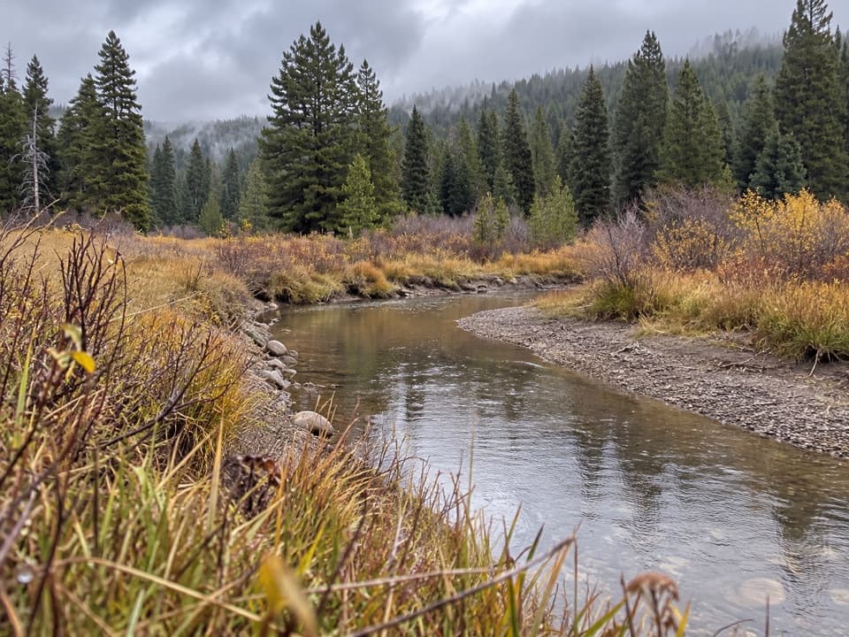 ChallengingArizona Creek Trail15.8 mi · 8 hr · 9.3 mi awayA long forested return beside Arizona Creek and into the backcountry.
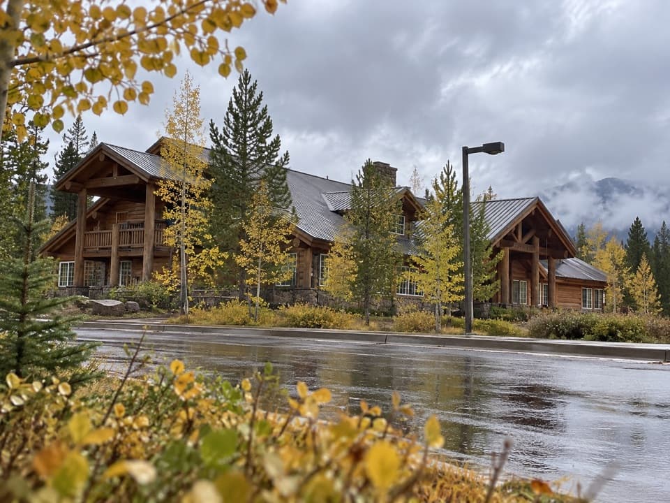 Lodging · 0.3 mi awayHeadwaters Lodge & Cabins at Flagg RanchA remote cabin base for splitting time between two parks.
 Campground · 0.3 mi awayHeadwaters Campground & RV ParkFull-hookup RV sites and basic cabins between two parks.
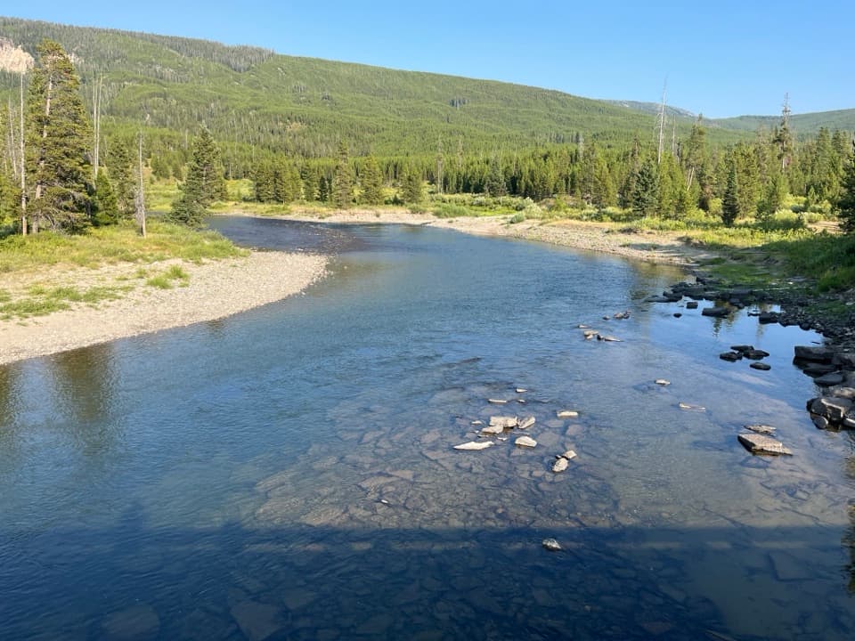 Sight · 0.6 mi awayFlagg Ranch Boat LaunchA simple ramp for putting a small boat on the upper Snake.
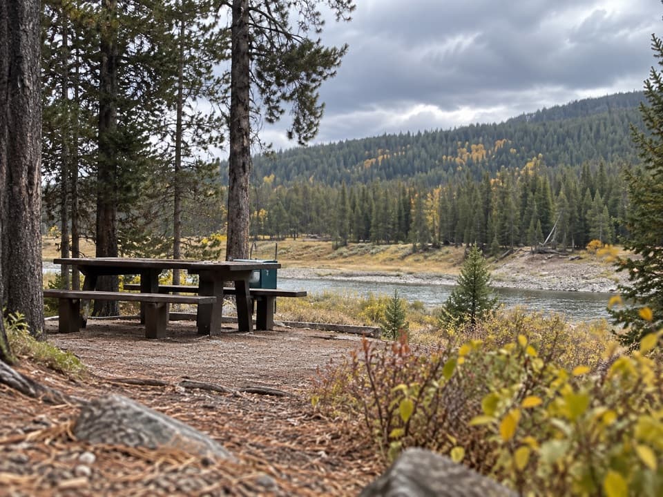 Picnic area · 1.7 mi awayFlagg Canyon Picnic AreaA shaded Snake River picnic stop, with a steep launch below.
 Scenic pullout · 1.8 mi awayJohn D. Rockefeller, Jr. Memorial Parkway North TurnoutAn orientation stop at the parkway’s Yellowstone boundary.
 Scenic pullout · 3.9 mi awayHuck Fire TurnoutSee the forest patchwork left by the 1988 Huck Fire.
 Scenic pullout · 4.5 mi awayGrand Teton North Boundary TurnoutSnap the wooden boundary sign on pine-covered Huckleberry Hill.
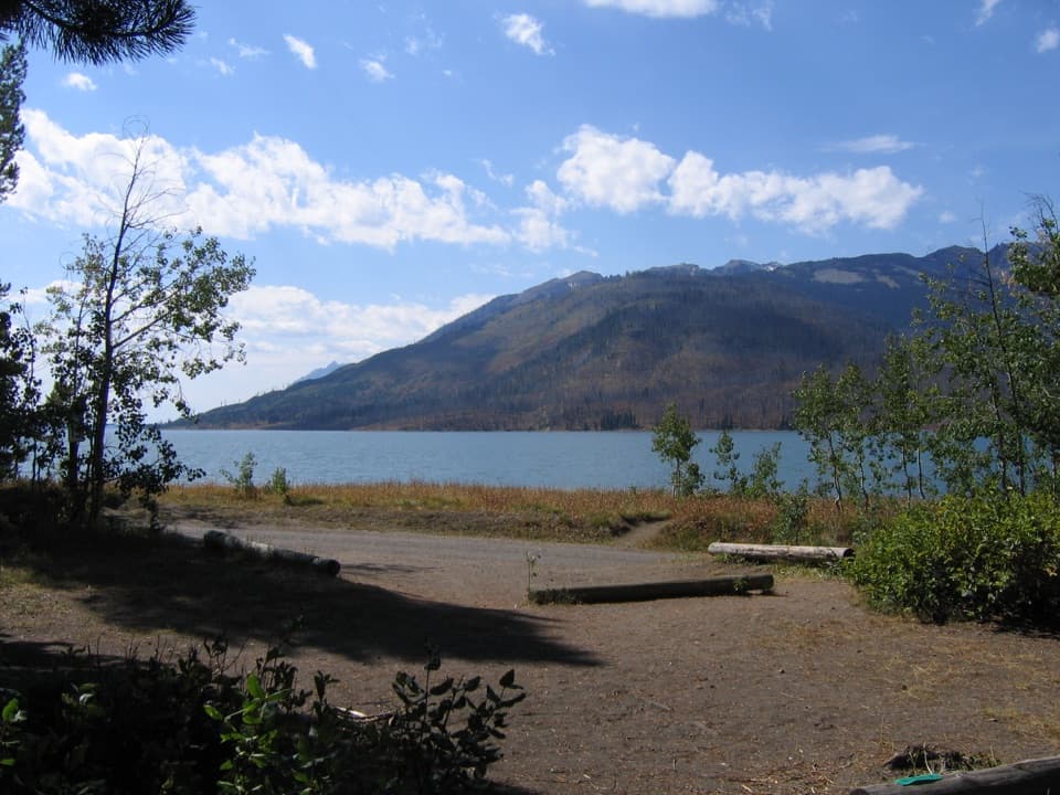 Campground · 7.2 mi awayLizard Creek CampgroundA forested basecamp on Jackson Lake near two national parks.
Parkwolf’s Grand Teton ranking

The audio tour guide for the drive, plus offline maps, trails, and wildlife heatmaps for when the signal drops.