Parking
Use the Arizona Creek trailhead off North Park Road. A parking area is reported, but its capacity and facilities were not documented.
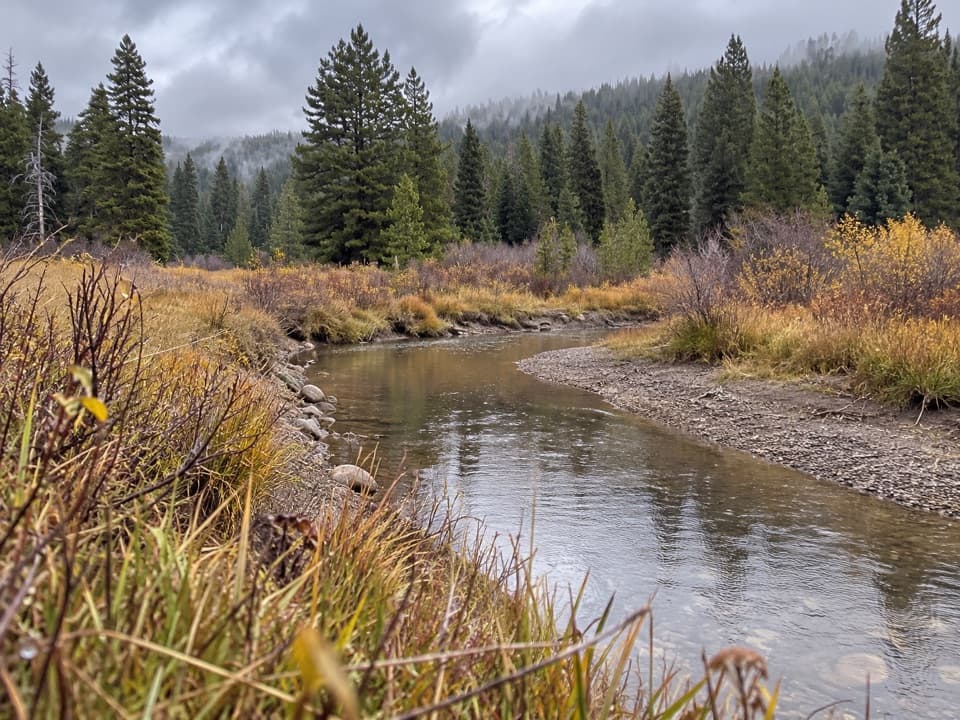
Grand Teton National Park, WY
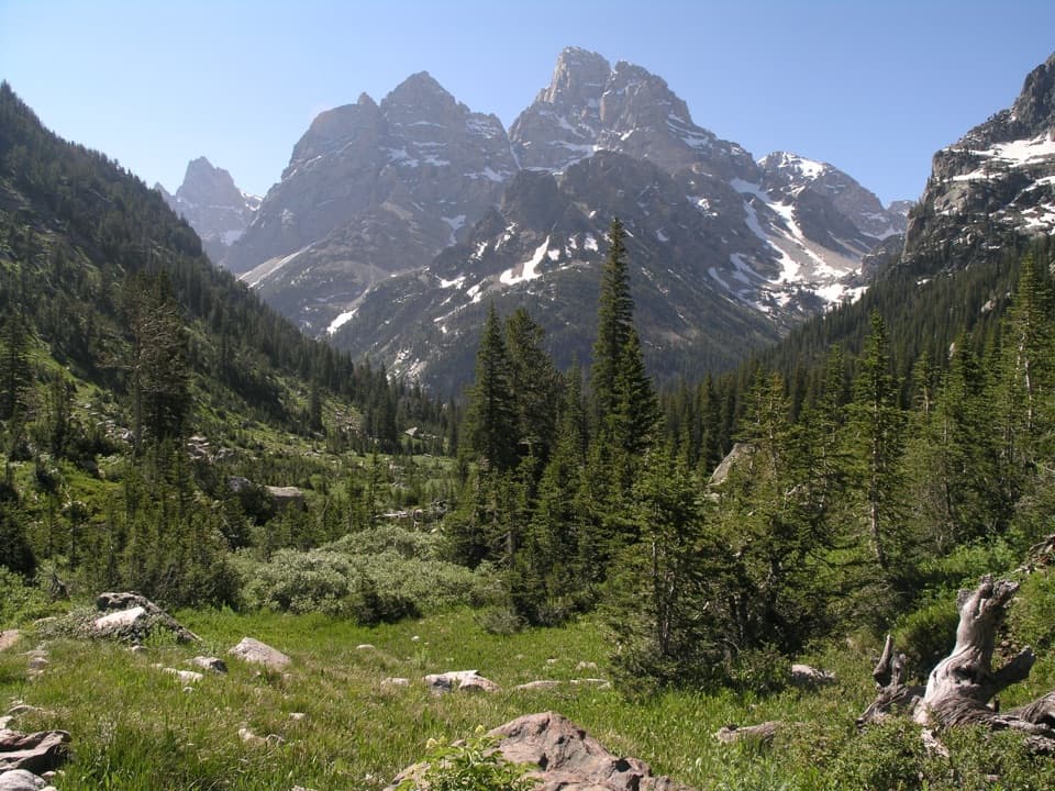
A long forested return beside Arizona Creek and into the backcountry.
Overview
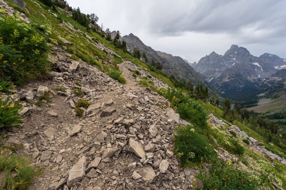
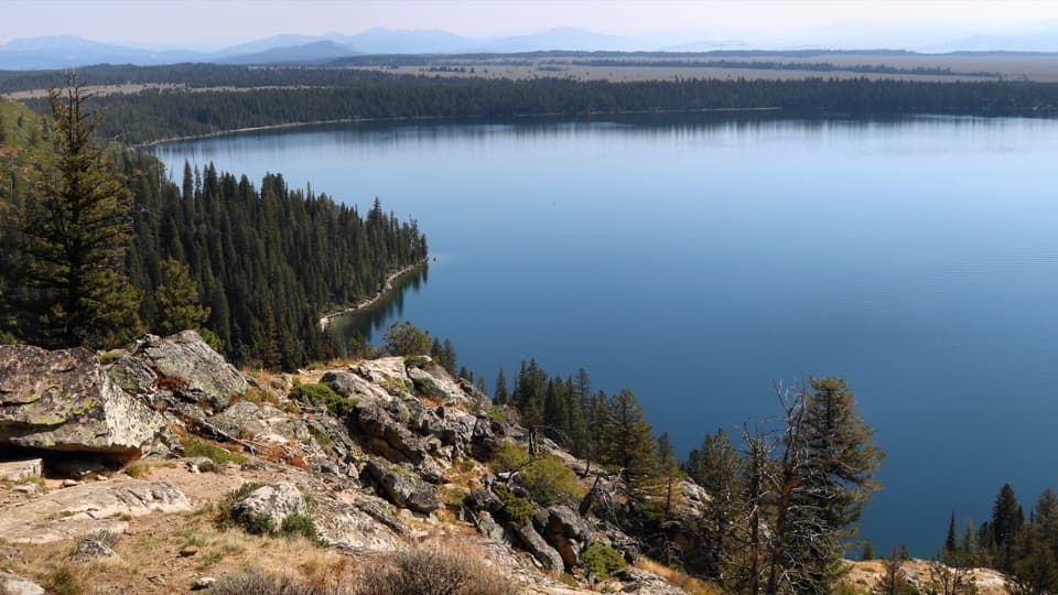
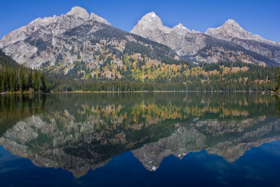
Arizona Creek Trail is a 15.8-mile out-and-back from the North Park Road trailhead to the Rodent Creek Trail junction and back. It follows a forested canyon beside Arizona Creek, then climbs steeply out of the valley and levels onto a plateau. Plan a full day: allow 6.5 to 9 hours and expect about 2,333 feet of total ascent. The challenge is the distance and sustained climbing rather than technical scrambling.
 Parkwolf’s verdictIs this the hike for you?
Map & elevation
Plan your hike

The highest, rockiest slopes around here are a summer buffet for grizzly bears.
Grand Teton Tour Guide
Parkwolf is a GPS audio tour guide for Grand Teton National Park. As you drive, it chimes in with what’s ahead: hidden gems, upcoming stops, history, geology, and wildlife, right through your car’s speakers.
See the Grand Teton audio tourRecorded for this trailhead
Arizona Creek: A Full Day in the Forest“You're nearing Arizona Creek Trailhead, for a long hike through a forested creek canyon. The route climbs steeply out of the valley before leveling onto a plateau.”
Plays as you drive up to this trailhead in the Parkwolf Grand Teton Tour Guide.
More stories near here in the app
“…We have been driving around with the audio tour and it has been informational and spot on. The whole family has been impressed. We used it for Yellowstone and Grand Teton.”


Trail guide
The route heads north from the parking area through mixed forest alongside the creek. The climb is gradual at first, then steepens as it leaves the valley; the grade eases on the plateau before the Rodent Creek junction. Turn around there for the 15.8-mile trip. A longer point-to-point itinerary continues north to the Colter Creek and Wolverine Creek trail junction, but it is a different route and should not be folded into this return hike.
Route signage is described as average, and two connected mapped segments are classified as informal, so this is less straightforward than a signed park classic. The trailhead is off North Park Road. The mapped route begins on a National Park Service segment and continues onto US Forest Service Trail 6026; no current agency status page for this exact outing was found, so confirm access before committing to the long day.
Grand Teton prohibits pets on park trails and in the backcountry, so pets cannot accompany you on the park section. A parking area is reported at the trailhead, but its capacity, toilets and drinking water were not documented.
Wildlife
 172 sightingsGrizzly BearMost seen around 7 PMSighting map
 195 sightingsBrown BearMost seen around 6 AMSighting map
 32 sightingsGray WolfMost seen around 7 PMSighting map
 1,816 sightingsMooseMost seen around 7 AMSighting map
 614 sightingsBisonMost seen around 6 AMSighting map
 738 sightingsElkMost seen around 7 PMSighting map
Sighting maps show where each species has been reported across Grand Teton. Wildlife moves, so no sighting is guaranteed.
Keep exploring
 ChallengingWebb Canyon Trail9.9 mi · 10 hr · 3.9 mi awayA remote creek canyon that climbs steeply to Moose Basin Divide.
 EasyColter Bay Lakeshore Trail2.2 mi · 1.5 hr · 4.9 mi awayTwo shoreline loops trade forest walking for big Teton views.
 EasyHeron Pond-Swan Lake Loop Trail3.1 mi · 1.8 hr · 5.1 mi awayAn easy loop linking two ponds beneath the Tetons.
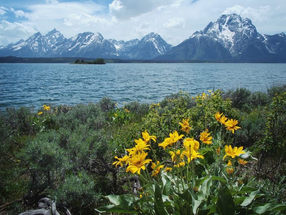 ModerateHermitage Point Trail9.5 mi · 5.5 hr · 5.1 mi awayA boulder shore opens onto Jackson Lake and the Tetons.
 EasyHeron Pond Trail2.9 mi · 1.5 hr · 5.1 mi awayLily pads frame a quiet pond beneath the Teton skyline.
 ChallengingBerry Creek Trail6.6 mi · 4.5 hr · 5.3 mi awayA remote canyon walk for practiced, self-reliant hikers.
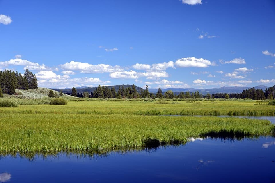 EasySwan Lake Trail1.9 mi · 1.5 hr · 5.4 mi awayA short lake walk through meadow and pines to lily-pad shallows.
 ChallengingOwl Creek Trail7.4 mi · 7.5 hr · 6.8 mi awayA remote canyon route ending at a rocky alpine divide.
 Scenic pullout · 0.3 mi awayArizona Meadows TurnoutA small pullout with a memorable camas food-history story.
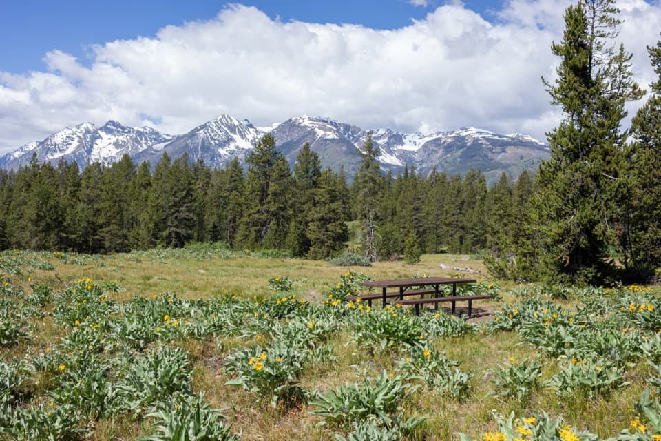 Picnic area · 0.6 mi awayArizona Island Picnic AreaA quiet meadow picnic with a surprisingly grim namesake.
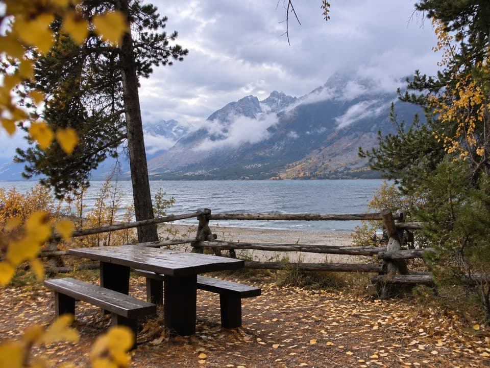 Picnic area · 0.6 mi awayLakeview Picnic AreaA shaded lunch stop with Jackson Lake and Teton views
 Sight · 1 mi awayJackson Lake OverlookTetons across the lake, and a visible story of fire.
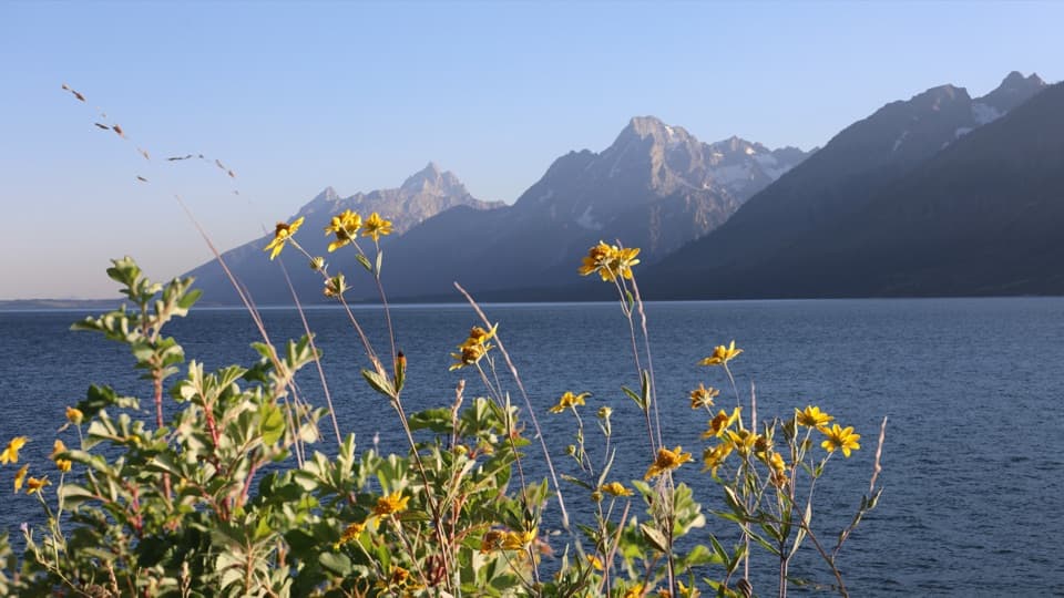 Picnic area · 2.4 mi awayMud Flats Picnic AreaOne table, a Teton view, and a changing Jackson Lake shoreline.
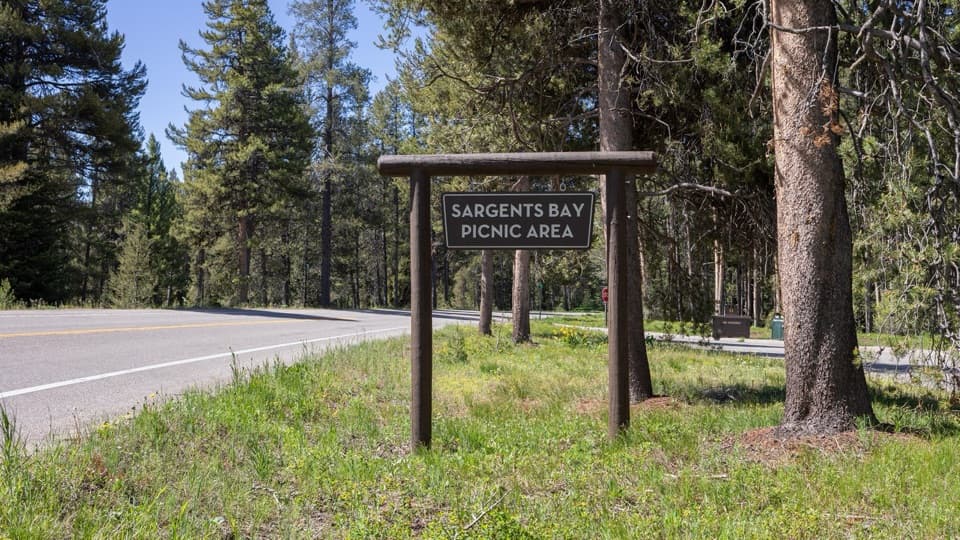 Picnic area · 2.7 mi awaySargents Bay Picnic AreaA few tables with bay views make a calm picnic stop.
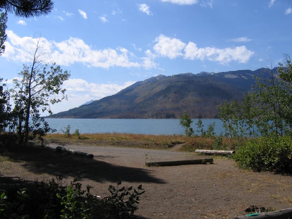 Campground · 3 mi awayLizard Creek CampgroundA forested basecamp on Jackson Lake near two national parks.
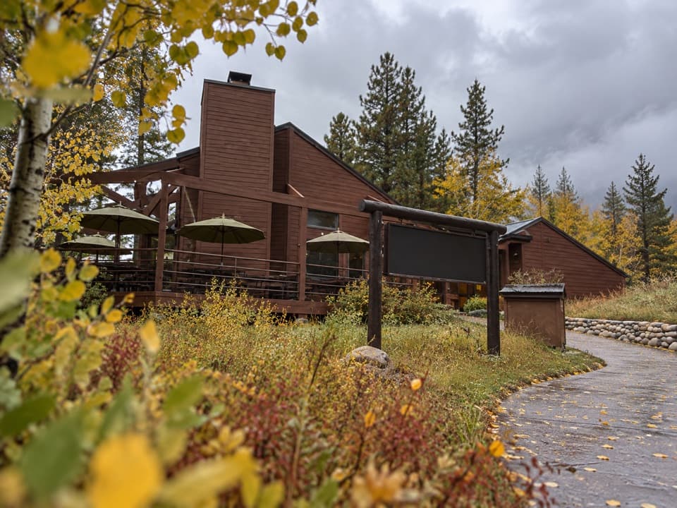 Restaurant · 3.1 mi awayLeeks PizzeriaPizza and ice cream on a Jackson Lake deck.
Parkwolf’s Grand Teton ranking
The audio tour guide for the drive, plus offline maps, trails, and wildlife heatmaps for when the signal drops.