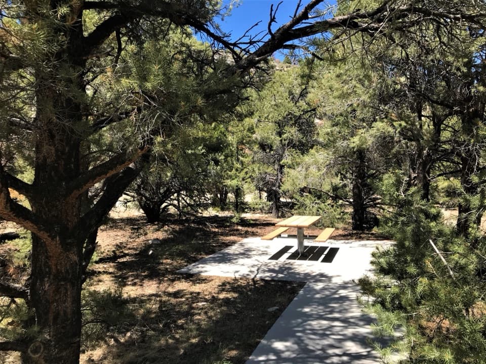
Pole Canyon Trailhead Picnic Area in Great Basin National Park

Picnic area · Great Basin National Park

Pole Canyon Trailhead Picnic Area

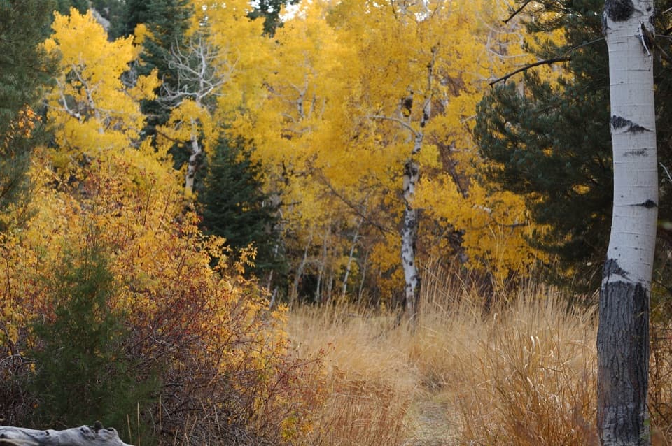
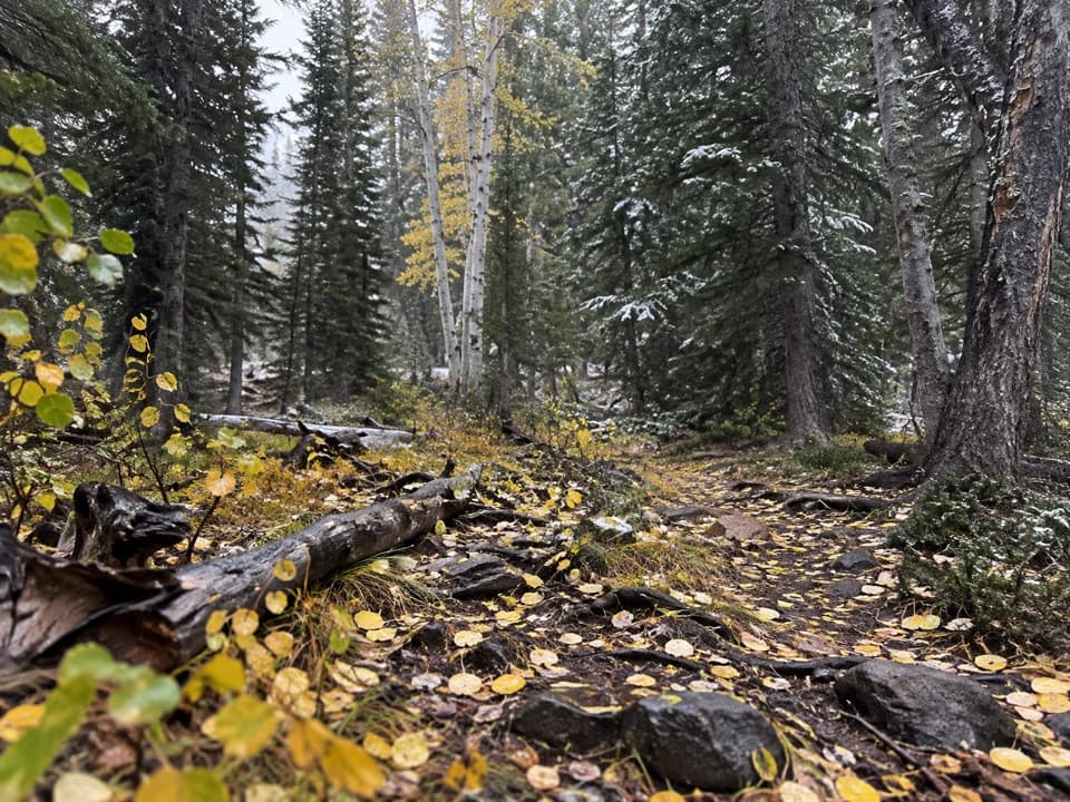
Take a shaded break at accessible tables with charcoal grills.

Photo: National Park Service
Type
Picnic area
Nearest trail
0.2 mi
Audio stories
8 nearby
  • Picnic tables
  • Restrooms
  • Parking

Hear the audio tour

Grey Cliffs and Pole Canyon: A Shaded Lunch Stop

Overview

About Pole Canyon Trailhead Picnic Area

Why stop

  • Accessible tables, shade, and charcoal grills make lunch easy.

Heads up

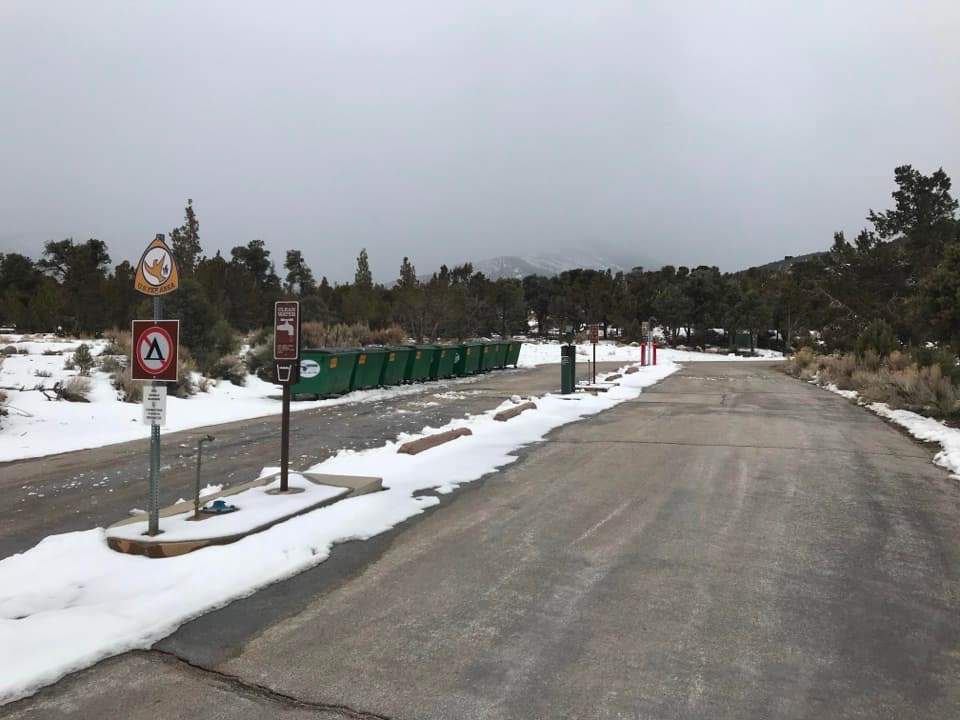
  • Limited parking, no potable water, and a pit toilet without running water.

Map

Where it is

Loading the Great Basin map
Full map
Picnic areaPole Canyon Trailhead Picnic Area38.99015, -114.21096
Keep this map with you offline in the Parkwolf app

Plan your stop

Before you go

Getting there

On Baker Creek Road, take the turn toward Grey Cliffs Campground after about 1.5 miles, stay left at the first split, then continue a few hundred feet to the picnic area. The road is gravel and usually closes for winter, with weather setting the dates. Parking is limited, so use a marked space rather than the roadside.


4 active Great Basin alerts

  • CautionStage II fire restrictions prohibit outdoor fires and smokingStage II fire restrictions are active throughout Great Basin National Park because of extreme fire danger. - Do not use campfires, charcoal grills, or smoke outdoors anywhere in the park.Official details
  • CautionPotable water is unavailable at park campgroundsPotable water is currently unavailable in every Great Basin National Park campground; bring sufficient water or fill containers before settling in.Official details
See all 4 alerts
A park ranger sits on a dash-mounted phone, talking, as Parkwolf’s Tour Guide plays “Army Cutworm Moths: A Grizzly Bear Buffet” on Grand Loop Road below Dunraven Pass in Yellowstone
Parkwolf Tour GuideThe highest, rockiest slopes around here are a summer buffet for grizzly bears.

Great Basin Tour Guide

Your drive to Pole Canyon Trailhead Picnic Area, narrated.

Parkwolf is a GPS audio tour guide for Great Basin National Park. As you drive, it chimes in with what’s ahead: hidden gems, upcoming stops, history, geology, and wildlife, right through your car’s speakers.

Recorded for this place

Grey Cliffs and Pole Canyon: A Shaded Lunch Stop
0:00 / 0:28
“You're nearing Grey Cliffs and the access to Pole Canyon's picnic area. For a lunch break, choose the day-use tables and charcoal grills, with shade among the trees and accessible tables on paved ground.”

Plays as you drive up to Pole Canyon Trailhead Picnic Area in the Parkwolf Great Basin Tour Guide.

More stories near here in the app

  • Packrats Keep a Climate Record
  • Lehman Caves: Look for the Shields
  • Astronomy Amphitheater: An Evening at the Telescopes
  • Baker Creek Campground: Choose Your Setting
  • 36 audio storiesacross Great Basin’s roads, triggered by GPS as you drive
  • Wildlife heatmapsfor Elk, Mule Deer, Wild Turkey, and 13 more
  • Works offlinemaps, 29 trails, 29 places, and audio download before you lose signal
  • CarPlay readysimple controls built for the drive
★★★★★
“Fantastic app with many points of information… It’s great to just turn on while you’re driving and it gives you an audio tour of the national Park. We love it!!!!”
JMJamesApp Store review
Download Parkwolf on the App StoreGet Parkwolf on Google Play

4.7 from 8,600+ ratings

Guide

More about Pole Canyon Trailhead Picnic Area

A shady lunch stopPole Canyon Trailhead Picnic Area is a small day-use picnic site at the entrance to Pole…

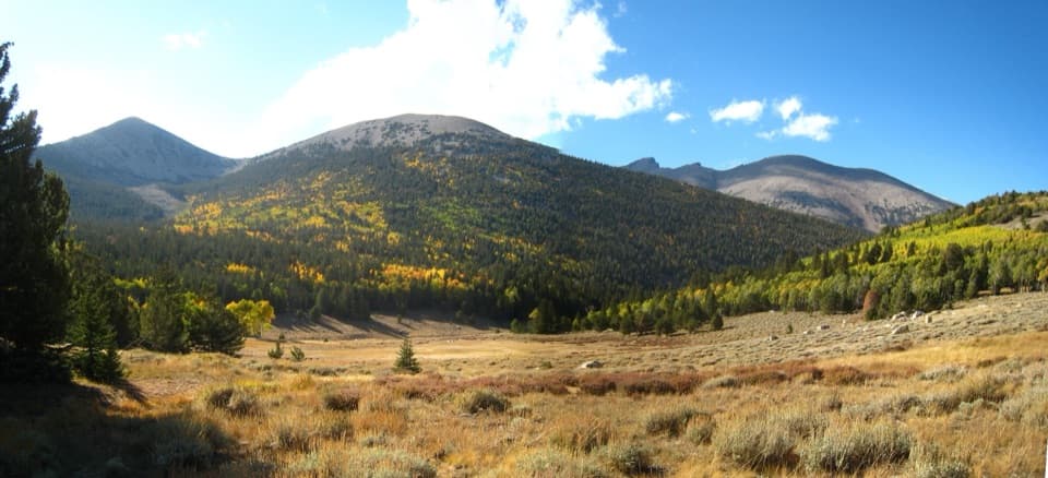
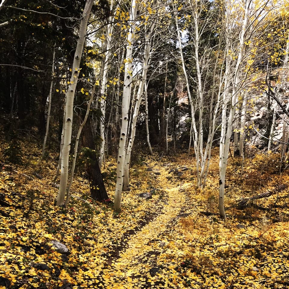
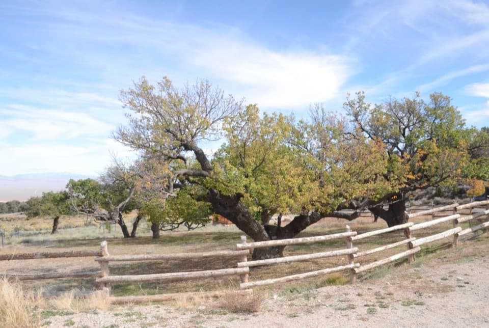
Pole Canyon Trailhead Picnic Area is a small day-use picnic site at the entrance to Pole Canyon, off Baker Creek Road. It’s an easy place to stop for lunch in the shade, away from the busier visitor center. Come for a practical break among the trees; this isn’t a viewpoint.

Tables, grills, and a basic restroomThere are several picnic tables, including accessible tables on paved, low-grade areas, plus…

There are several picnic tables, including accessible tables on paved, low-grade areas, plus charcoal grills. Bring your own food, charcoal, and drinking water: there’s no potable water on Baker Creek Road. The restroom is a pit toilet without running water. Pack out grill ashes.

If you’re also hikingThe separate Pole Canyon Trail starts at the same access and climbs through meadow and conifer…

The separate Pole Canyon Trail starts at the same access and climbs through meadow and conifer forest toward a mountain pass and views of Baker Peak. Pets are allowed at the picnic area, but not on the trail except trained service animals.

Wildlife

Wildlife in Great Basin

All Great Basin wildlife maps

Sighting maps show where each species has been reported across Great Basin. Wildlife moves, so no sighting is guaranteed.

Keep exploring

Near Pole Canyon Trailhead Picnic Area

See it all on the map

Trails nearby

More stops nearby

Parkwolf’s Great Basin ranking

Top sights in Great Basin

All 29 places
  1. 1Lehman CavesSight
  2. 2Wheeler Peak Bristlecone GroveSight
  3. 3Wheeler PeakSight
  4. 4Mather OverlookSight
  5. 5Wheeler Peak OverlookSight
  6. 6Astronomy AmphitheaterSight

Take Parkwolf to Great Basin.

The audio tour guide for the drive, plus offline maps, trails, and wildlife heatmaps for when the signal drops.

4.7 from 8,600+ ratings

Download Parkwolf on the App StoreGet Parkwolf on Google Play