Johnson Lake via Baker Creek in Great Basin National Park

#9 of 29 trails in Great Basin

Great Basin National Park, NV

Johnson Lake via Baker Creek

A steep climb to a high lake and old tungsten mine ruins.

Photo: National Park Service
Length
9.8mi
Time
6.5hr
Elev. change
2,841ft
Difficulty
Challenging
  • No dogs
  • High point 10,843 ft

Hear the audio tour

Baker Creek Trailhead: Lake or Meadow Loop

Overview

About Johnson Lake via Baker Creek

Why go

  • A high lake and surviving mining remains share one remote destination
  • Pine, fir, and aspen forest with spring wildflowers

Heads up

  • A long, strenuous climb with 2,740 feet of gain
  • Seasonal road closures and lingering snow can complicate access

Map & elevation

The route

Loading the Great Basin map
Full map
Elevation8,002–10,843 ft
TrailheadBaker Creek Trailhead38.97667, -114.24555
Keep this map with you offline in the Parkwolf app

Plan your hike

Before you go

Parking

Baker Creek Trailhead is at the end of gravel Baker Creek Road. Use designated spaces only; parking along the road or outside marked spaces is prohibited. Pit toilets without running water are at the trailhead. There is no potable water along the road or trail.

Safety

Strenuous high-elevation out-and-back with 2,740 feet of gain; lingering snow can persist into early summer, and no potable water is available along the route. Baker Creek Road can close intermittently in winter and spring.

4 active Great Basin alerts

  • CautionStage II fire restrictions prohibit outdoor fires and smokingStage II fire restrictions are active throughout Great Basin National Park because of extreme fire danger. - Do not use campfires, charcoal grills, or smoke outdoors anywhere in the park.Official details
  • CautionPotable water is unavailable at park campgroundsPotable water is currently unavailable in every Great Basin National Park campground; bring sufficient water or fill containers before settling in.Official details
See all 4 alerts
A park ranger sits on a dash-mounted phone, talking, as Parkwolf’s Tour Guide plays “Army Cutworm Moths: A Grizzly Bear Buffet” on Grand Loop Road below Dunraven Pass in Yellowstone
Parkwolf Tour GuideThe highest, rockiest slopes around here are a summer buffet for grizzly bears.

Great Basin Tour Guide

Your drive to Johnson Lake via Baker Creek, narrated.

Parkwolf is a GPS audio tour guide for Great Basin National Park. As you drive, it chimes in with what’s ahead: hidden gems, upcoming stops, history, geology, and wildlife, right through your car’s speakers.

Recorded for this trailhead

Baker Creek Trailhead: Lake or Meadow Loop
0:00 / 0:26
“You're nearing Baker Creek Trailhead, the start of the long climb to Baker Lake. The lake sits in a rocky bowl beneath Baker and Pyramid peaks, with snow often lingering along the shore.”

Plays as you drive up to this trailhead in the Parkwolf Great Basin Tour Guide.

More stories near here in the app

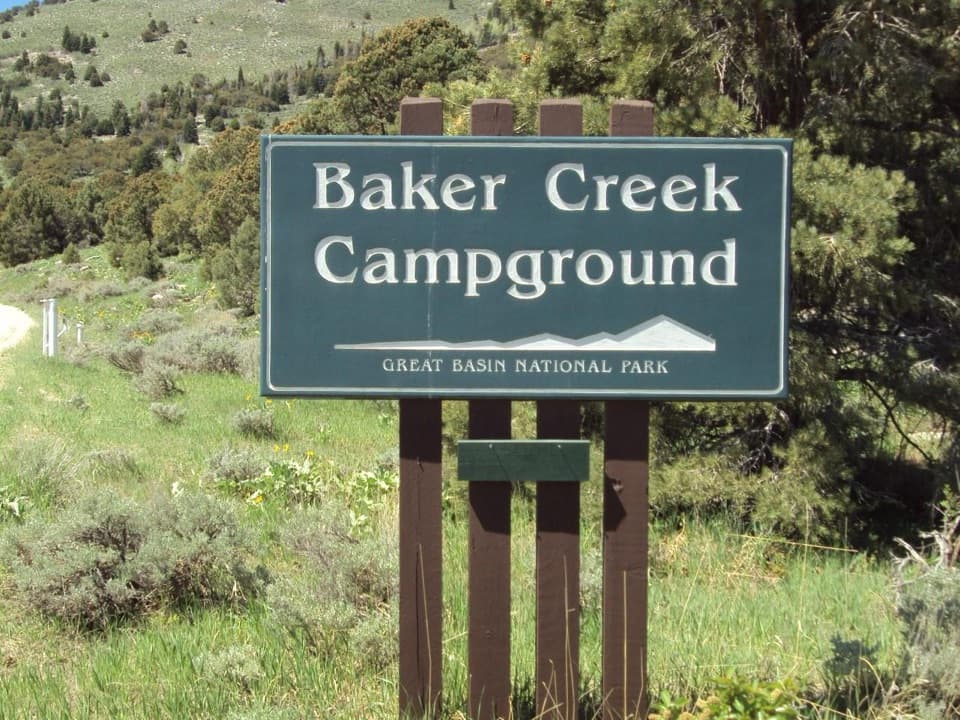
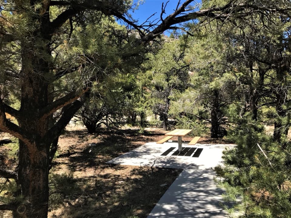
  • Baker Creek Campground: Choose Your Setting
  • Grey Cliffs and Pole Canyon: A Shaded Lunch Stop
  • Lehman Caves: Look for the Shields
  • Packrats Keep a Climate Record
  • 36 audio storiesacross Great Basin’s roads, triggered by GPS as you drive
  • Wildlife heatmapsfor Elk, Mule Deer, Wild Turkey, and 13 more
  • Works offlinemaps, 29 trails, 29 places, and audio download before you lose signal
  • CarPlay readysimple controls built for the drive
★★★★★
“Fantastic app with many points of information… It’s great to just turn on while you’re driving and it gives you an audio tour of the national Park. We love it!!!!”
JMJamesApp Store review
Download Parkwolf on the App StoreGet Parkwolf on Google Play

4.7 from 8,600+ ratings

Trail guide

Hiking Johnson Lake via Baker Creek

The long walk to Johnson LakeJohnson Lake via Baker Creek is an out-and-back from Baker Creek Trailhead to a remote…

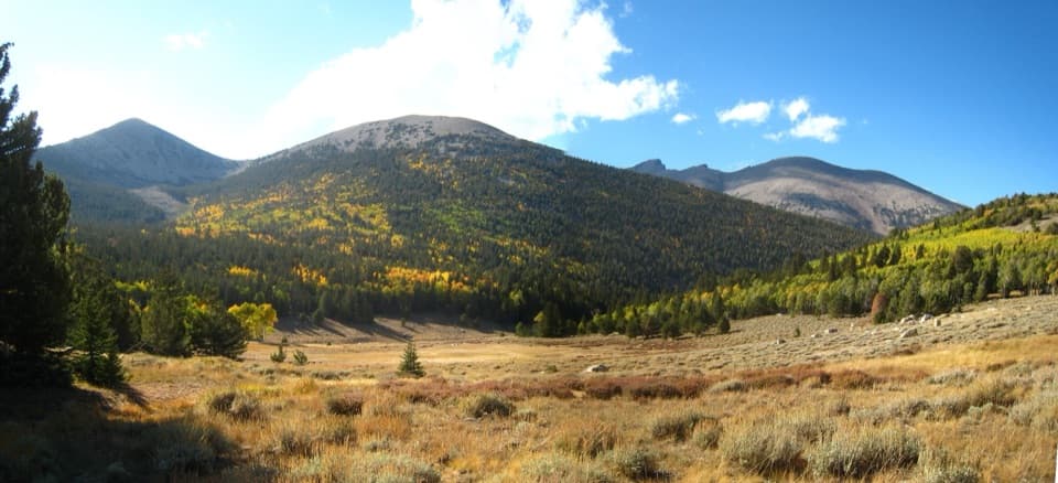
Johnson Lake via Baker Creek is an out-and-back from Baker Creek Trailhead to a remote high-country lake and the old mining district nearby. It is listed at 9.8 miles, 2,740 feet of gain, and 5–8 hours; expect a strenuous day. The distance listing does not state its convention. The mapped path is about 5.24 miles to the lake, so plan to return the same way and treat 9.8 as an approximate total. Starting around 8,020 feet, this is a high-country hike, not a quick lakeshore stroll.

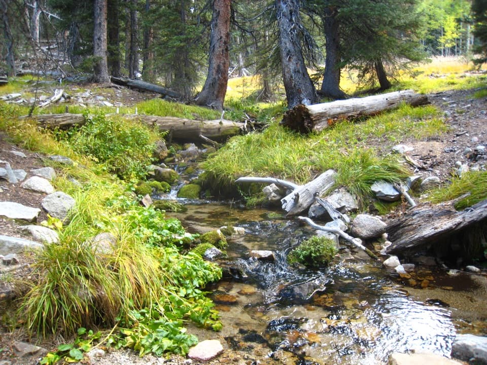
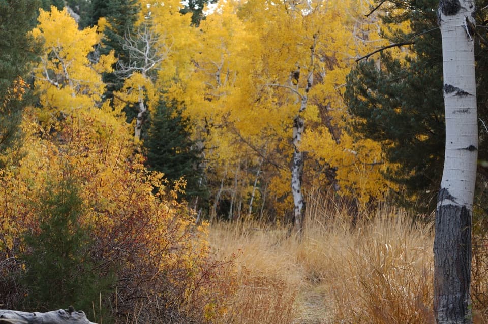
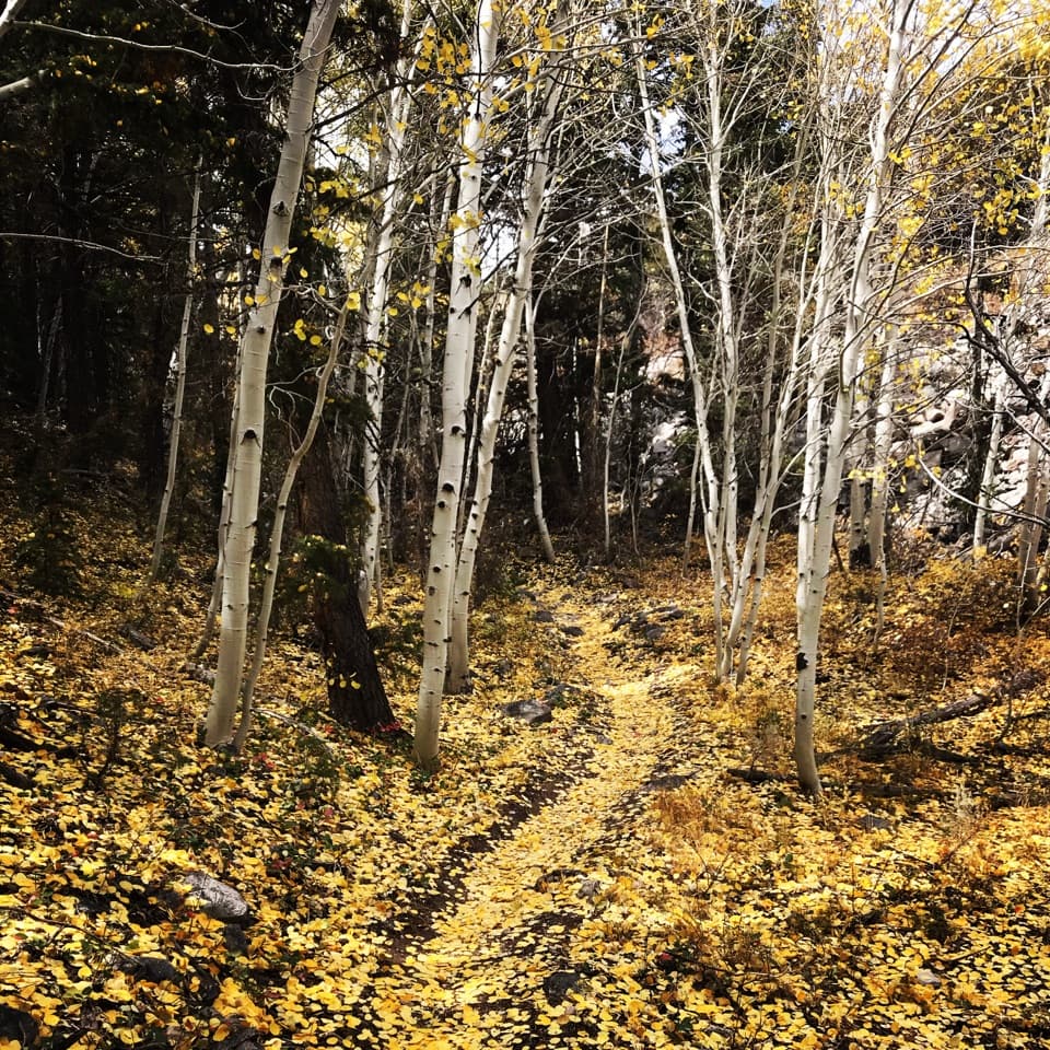
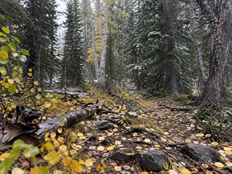
A steady forest climbThe route rises through pine, fir, and aspen; spring wildflowers can sometimes last into summer.

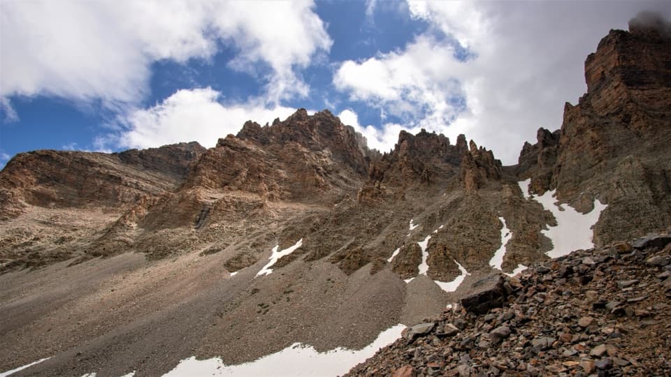
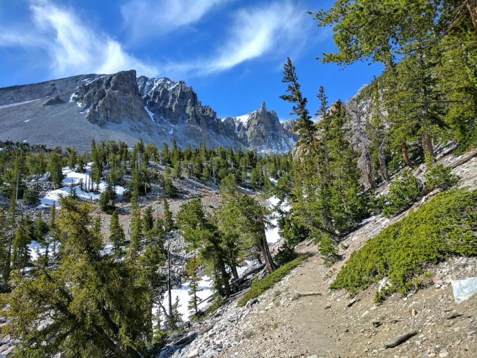
The route rises through pine, fir, and aspen; spring wildflowers can sometimes last into summer. The mapped line follows the Timber Creek corridor from the trailhead, joins the Johnson Lake Trail at a shared junction, and continues to the lake. The route information gives no step-by-step surface or grade description, so plan around the full mountain climb and leave time for the walk back as well as a stop at the shore.

The mine beside the lakeJohnson Lake sits near the remains of an early twentieth-century tungsten district.

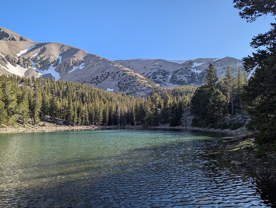
Johnson Lake sits near the remains of an early twentieth-century tungsten district. Miners extracted and milled ore here, then shipped it elsewhere for refining into alloy steel used in World War I weapons, tanks, and transmitter radios. Log cabins, mining equipment, and traces of an aerial tramway remain high in the basin. Work continued sporadically after the war, until a 1930s snowslide stopped production. Many cabins have weathered avalanches, blizzards, and rockfall for about a century. The lake and old cabins make the destination worth lingering over, but do not enter or disturb the historic buildings or equipment. From the shore, the blue-green water, rocky slope, and conifer edge make a strong lake view; the mine cabins are a separate subject.

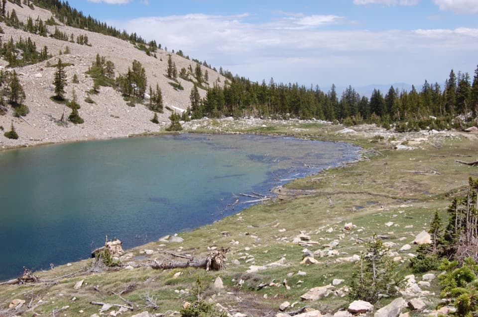
Keep the approaches separateSeveral named routes reach Johnson Lake or nearby Baker Lake.

Several named routes reach Johnson Lake or nearby Baker Lake. This row is the Baker Creek Trailhead hike to Johnson Lake and back along the same corridor. The Snake Creek approach starts on the other side, while Baker Lake and Johnson Lake loops add separate trail; do not combine those itineraries or their distances with this one.

Start at Baker CreekFollow gravel Baker Creek Road to Baker Creek Trailhead at its end.

Follow gravel Baker Creek Road to Baker Creek Trailhead at its end. Park only in designated spaces; roadside parking is prohibited. Pit toilets without running water are available at the trailhead. There is no potable water along Baker Creek Road or the hike, so fill before you set out. Pets are not permitted on park trails; trained service animals are allowed.

Snow and road accessBaker Creek Road can close intermittently in winter and spring.

Baker Creek Road can close intermittently in winter and spring. Snow can remain near Johnson Lake into early summer, and sometimes later after a heavy-snow winter; traction may be needed when snow remains. These seasonal conditions can change how far you get, so check current access before driving in.

Wildlife

Wildlife in Great Basin

All Great Basin wildlife maps

Sighting maps show where each species has been reported across Great Basin. Wildlife moves, so no sighting is guaranteed.

Keep exploring

Near Johnson Lake via Baker Creek

See it all on the map

Trails that start nearby

Places near the trailhead

Parkwolf’s Great Basin ranking

Top-rated trails in Great Basin

All 29 trails
  1. 1Bristlecone TrailModerate · 2.8 mi
  2. 2Wheeler Peak Summit TrailChallenging · 8.6 mi
  3. 3Alpine Lakes LoopEasy · 2.7 mi
  4. 4Glacier TrailModerate · 4.8 mi
  5. 5Alpine Lakes, Bristlecone, and Glacier LoopChallenging · 6 mi
  6. 6Baker & Johnson Lakes LoopChallenging · 11.7 mi

Take Parkwolf to Great Basin.

The audio tour guide for the drive, plus offline maps, trails, and wildlife heatmaps for when the signal drops.

4.7 from 8,600+ ratings

Download Parkwolf on the App StoreGet Parkwolf on Google Play