Parking
The start is the Loves Track gate on unsealed Bambra Road, about 5 km along the access road. Leave a pickup car at Lower Distillery Creek Picnic Ground; the walk finishes there.
Great Ocean Road, VIC
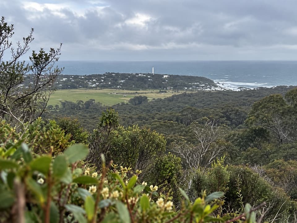
Stringybark forest leads to a sweeping Split Point panorama.
Overview
Map & elevation
Plan your hike

The highest, rockiest slopes around here are a summer buffet for grizzly bears.
Great Ocean Road Tour Guide
Parkwolf is a GPS audio tour guide for Great Ocean Road. As you drive, it chimes in with what’s ahead: hidden gems, upcoming stops, history, geology, and wildlife, right through your car’s speakers.
See the Great Ocean Road audio tourMore stories near here in the app
“Fantastic app with many points of information… It’s great to just turn on while you’re driving and it gives you an audio tour of the national Park. We love it!!!!”


Trail guide
Loves Track is a 6 km (3.7 mi) point-to-point walk from the gate on Bambra Road to Lower Distillery Creek Picnic Ground. Allow about two hours at an easy-to-moderate pace, and plan a car shuttle because it does not loop back. The mapped line is about 5.5 km, so the published 6 km is a rounded itinerary distance. It drops about 225 m (740 ft) overall.
The route heads through tall Brown Stringybark forest to Trig Point, about 2.5 km from the start, where it crosses the Currawong Falls track. A narrow path continues roughly 1 km to a picnic site with a panoramic view of Split Point Lighthouse and Aireys Inlet. This is the walk’s standout stop.
From the picnic site, the route descends about 2 km to Lower Distillery Creek Picnic Ground, with occasional coastal openings and later glimpses of Ironbark Gorge through the eucalypts. The narrow path is uneven in places. Picnic tables and wood-fired barbecues are available at the creek picnic areas; toilets are at the upper car park. Dogs are not allowed in the national park.
Spring brings the walk’s best wildflower display. Anglesea Grevillea grows in the area, alongside wattles, correa, sundew and greenhood orchids. Flowering varies from year to year, so treat these as seasonal possibilities rather than a checklist.
Wildlife
 900 sightingsKoalaMost seen around 5 PMSighting map
 358 sightingsKangarooMost seen around 6 PMSighting map
 49 sightingsLittle PenguinMost seen around 8 PMSighting map
 155 sightingsEchidnaMost seen around 6 PMSighting map
 33 sightingsFur SealMost seen around 6 PMSighting map
 59 sightingsRed-necked WallabyMost seen around 6 AMSighting map
Sighting maps show where each species has been reported across Great Ocean Road. Wildlife moves, so no sighting is guaranteed.
Keep exploring
 ModerateIronbark Gorge Track4.5 km · 1.5 hr · 4.2 km awayA gorge loop with rocky views, creek bridges and ferns.
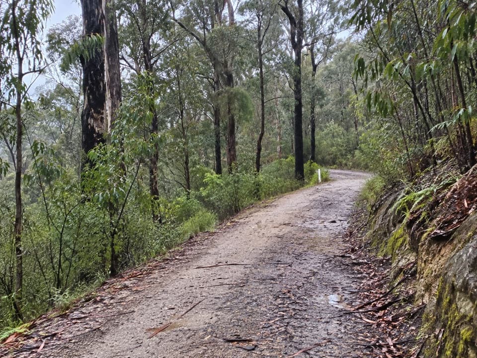 EasyAireys Inlet Woodland Circuit4.5 km · 1.5 hr · 4.4 km awayIronbark woodland shifts to a leafy creekside track.
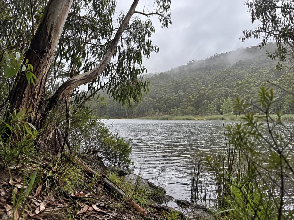 ModerateDistillery Creek to Moggs Creek Walk7.5 km · 2.5 hr · 4.4 km awayForest tracks and Painkalac Dam, with a car shuttle to Moggs Creek.
 EasyDistillery Creek Ephemeral Wetlands Walk0.3 km · 15 min · 4.5 km awayA short boardwalk ends at a wetland that comes and goes.
 ModerateDistillery Creek–Ted’s Ridge Track Circuit4 km · 1.5 hr · 4.5 km awayClimb to Ted’s Ridge for coastal views on a short woodland loop.
 ModerateMoggs Creek Ocean View Walk4.5 km · 2 hr · 4.5 km awayForest climbs open to a broad Great Ocean Road lookout.
 EasyMoggs Creek Circuit Walk1.9 km · 45 min · 4.5 km awayFour small timber bridges thread through a ferny gully.
 ModerateMoggs Creek to Coalmine Creek Walk10.1 km · 3.5 hr · 4.5 km awayIronbark and messmate forest, with a ridge crossing to the coast.
 Picnic area · 4.4 km awayDistillery Creek Picnic AreaShady tables and an easy forest loop off the Great Ocean Road.
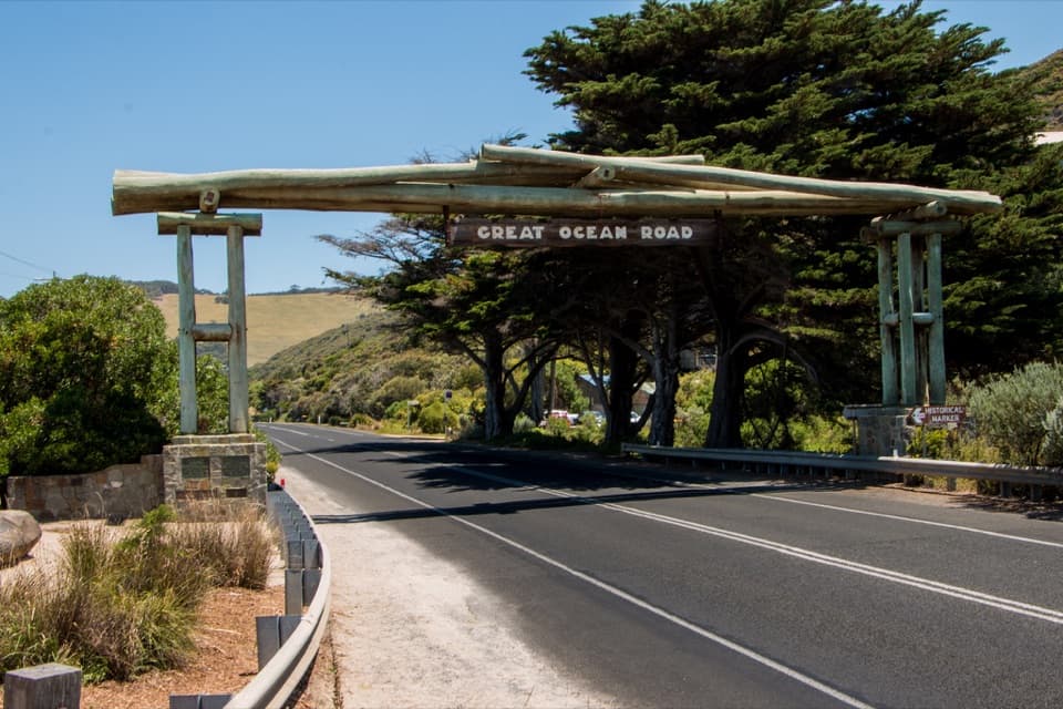
 Picnic area · 4.5 km awayMoggs Creek Picnic AreaPicnic in eucalypt forest, then walk out to a coastal lookout.Sight · 6.1 km awayGreat Ocean Road Memorial ArchA quick pause for the timber arch and the roadworkers' memorial.
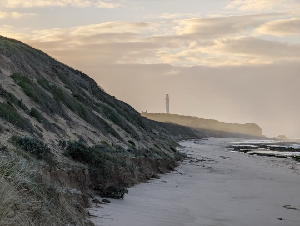 Beach · 6.3 km awayFairhaven BeachSix kilometres of open sand for a long coastal walk.
 Restaurant · 6.5 km awayA La GrecqueGreek seafood, a big veranda, and a fireplace for cooler days.
 Sight · 6.6 km awayBark Hut ReserveA bark hut connects Aireys Inlet to its early settler story.
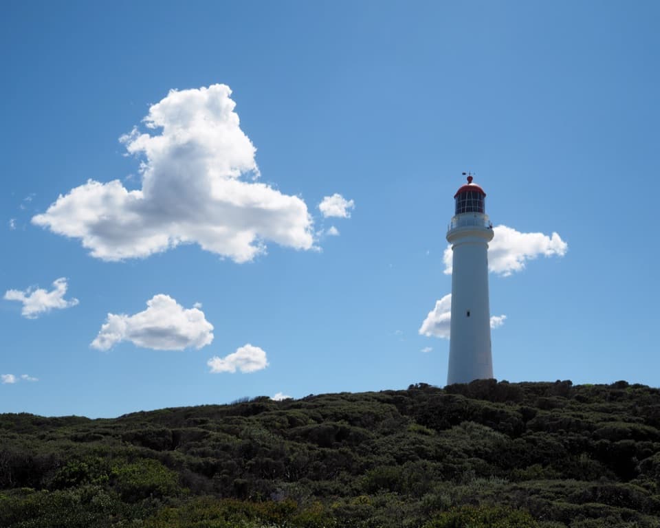 Sight · 7 km awaySplit Point LighthouseA working lighthouse climb with sweeping views over Bass Strait.
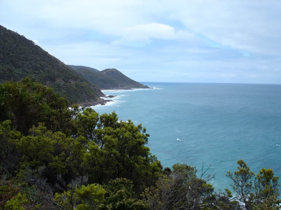 Sight · 7.9 km awayCinema Point LookoutA roadbuilders’ plaque beside a panorama that trees may screen.
Parkwolf’s Great Ocean Road ranking

The audio tour guide for the drive, plus offline maps, trails, and wildlife heatmaps for when the signal drops.





