Parking and facilities
The car park is right at the arch. Visitors describe it as small and say it can feel crowded at busy times; larger vehicles may find the space tight. There are no public toilets at the memorial.
Sight · Great Ocean Road
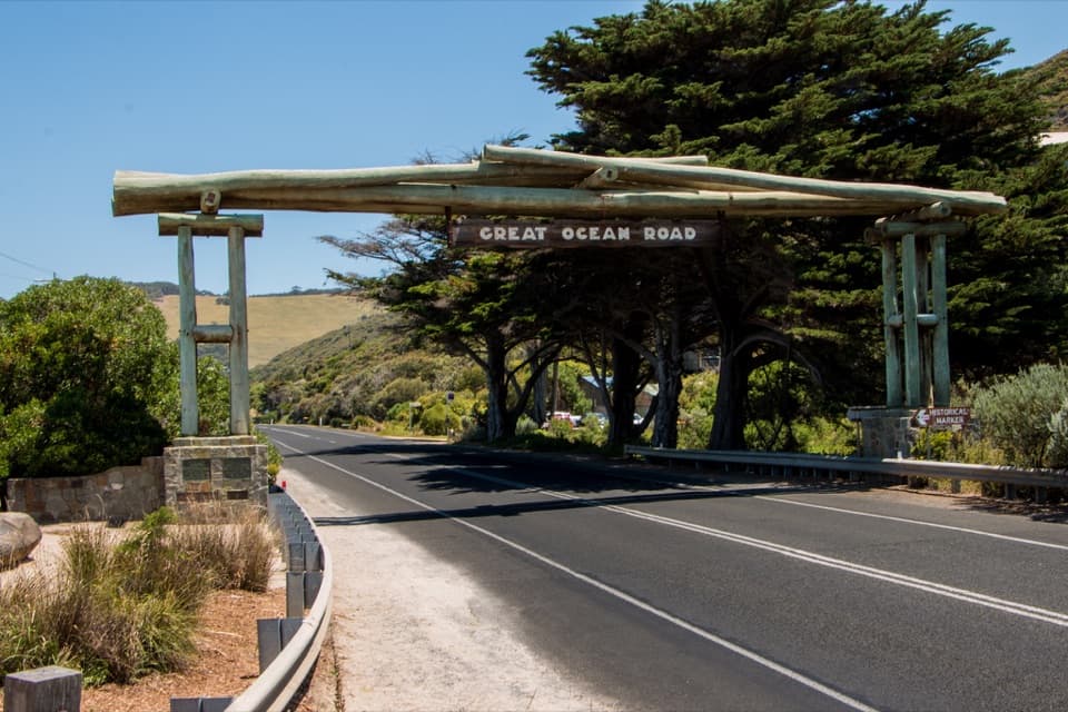
A quick pause for the timber arch and the roadworkers' memorial.
Overview
Map
Plan your stop

The highest, rockiest slopes around here are a summer buffet for grizzly bears.
Great Ocean Road Tour Guide
Parkwolf is a GPS audio tour guide for Great Ocean Road. As you drive, it chimes in with what’s ahead: hidden gems, upcoming stops, history, geology, and wildlife, right through your car’s speakers.
See the Great Ocean Road audio tourRecorded for this place
Great Ocean Road Memorial Arch“You're coming up on the Great Ocean Road Memorial Arch at Eastern View. Give it a few minutes if you'd like some history with your roadside stop: the two bronze roadworkers and plaques beside the arch deserve a look.”
Plays as you drive up to Great Ocean Road Memorial Arch in the Parkwolf Great Ocean Road Tour Guide.
More stories near here in the app
“Fantastic app with many points of information… It’s great to just turn on while you’re driving and it gives you an audio tour of the national Park. We love it!!!!”


Guide
The Great Ocean Road Memorial Arch is a timber landmark spanning the highway at Eastern View, with a roadworkers' sculpture and plaques beside it. It's an easy roadside pause; the arch alone is a modest sight, so spend a few minutes with the memorial displays if you want the story behind the road. Beach access is also beside the stop, and the arch itself needs no trail approach.
On the visitor side, two bronze roadworkers stand on reddish boulders, with plaques and an information board nearby. The timber span carries the words GREAT OCEAN ROAD. For the classic picture, include the road beneath it so the arch reads as a gateway, and take it from the visitor area rather than the traffic lanes.
Surveying began in 1918 and construction in 1919. About 3,000 returned servicemen built the road with picks, shovels, explosives, wheelbarrows and horse-drawn carts, moving between tent camps as crews worked through difficult coastal terrain. The first section, from Eastern View to Lorne, opened in 1922; the completed road officially opened in 1932. A toll collected at Eastern View helped repay the Great Ocean Road Trust's construction costs and ended when the road was handed to Victoria in 1936.
The Great Ocean Road Trust first erected an arch here in 1939. Its plaques dedicate the road to those who served in the Great War and name Major W. T. B. McCormack, an engineer and key figure in the Trust. The arch has been rebuilt after damage, including the loss of a timber version in the 1983 Ash Wednesday bushfires; the original plaques were retained.
Wildlife
 900 sightingsKoalaMost seen around 5 PMSighting map
 358 sightingsKangarooMost seen around 6 PMSighting map
 49 sightingsLittle PenguinMost seen around 8 PMSighting map
 155 sightingsEchidnaMost seen around 6 PMSighting map
 33 sightingsFur SealMost seen around 6 PMSighting map
 59 sightingsRed-necked WallabyMost seen around 6 AMSighting map
Sighting maps show where each species has been reported across Great Ocean Road. Wildlife moves, so no sighting is guaranteed.
Keep exploring
 EasyMoggs Creek Coastal Heathland Walk1.4 km · 45 min · 1.4 km awayA short, steep climb to a wide Great Ocean Road panorama
 ModerateMoggs Creek Ocean View Walk4.5 km · 2 hr · 2 km awayForest climbs open to a broad Great Ocean Road lookout.
 EasyMoggs Creek Circuit Walk1.9 km · 45 min · 2 km awayFour small timber bridges thread through a ferny gully.ModerateMoggs Creek to Coalmine Creek Walk10.1 km · 3.5 hr · 2 km awayIronbark and messmate forest, with a ridge crossing to the coast.
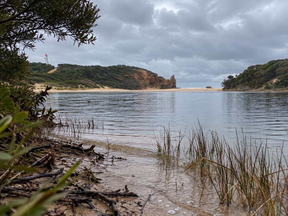 EasyPainkalac Nature Walk2.5 km · 45 min · 4.4 km awaySeven QR stops unpack the estuary's plants, animals and pressures.
 EasyLighthouse Discovery Walk2.1 km · 45 min · 5.2 km awayEasy coastal lookouts from Split Point to Fairhaven
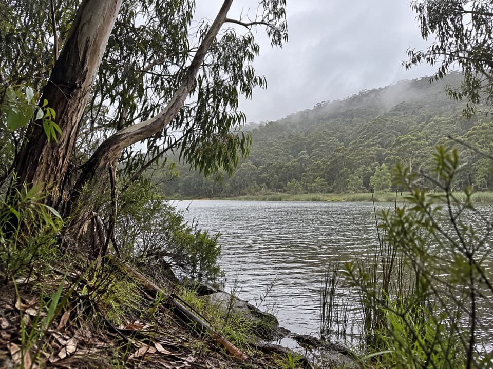 ModerateDistillery Creek to Moggs Creek Walk7.5 km · 2.5 hr · 5.3 km awayForest tracks and Painkalac Dam, with a car shuttle to Moggs Creek.
 EasyDistillery Creek Ephemeral Wetlands Walk0.3 km · 15 min · 5.4 km awayA short boardwalk ends at a wetland that comes and goes.
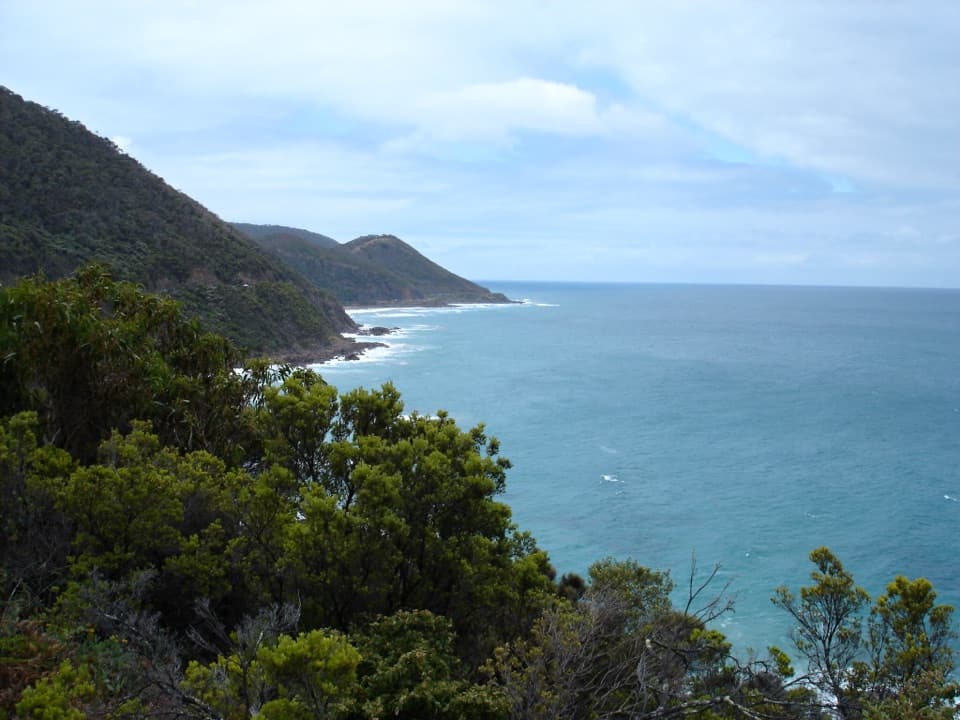 Sight · 2 km awayCinema Point LookoutA roadbuilders’ plaque beside a panorama that trees may screen.
 Picnic area · 2.1 km awayMoggs Creek Picnic AreaPicnic in eucalypt forest, then walk out to a coastal lookout.
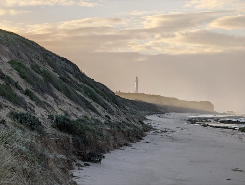 Beach · 2.1 km awayFairhaven BeachSix kilometres of open sand for a long coastal walk.
 Sight · 5.1 km awayBark Hut ReserveA bark hut connects Aireys Inlet to its early settler story.
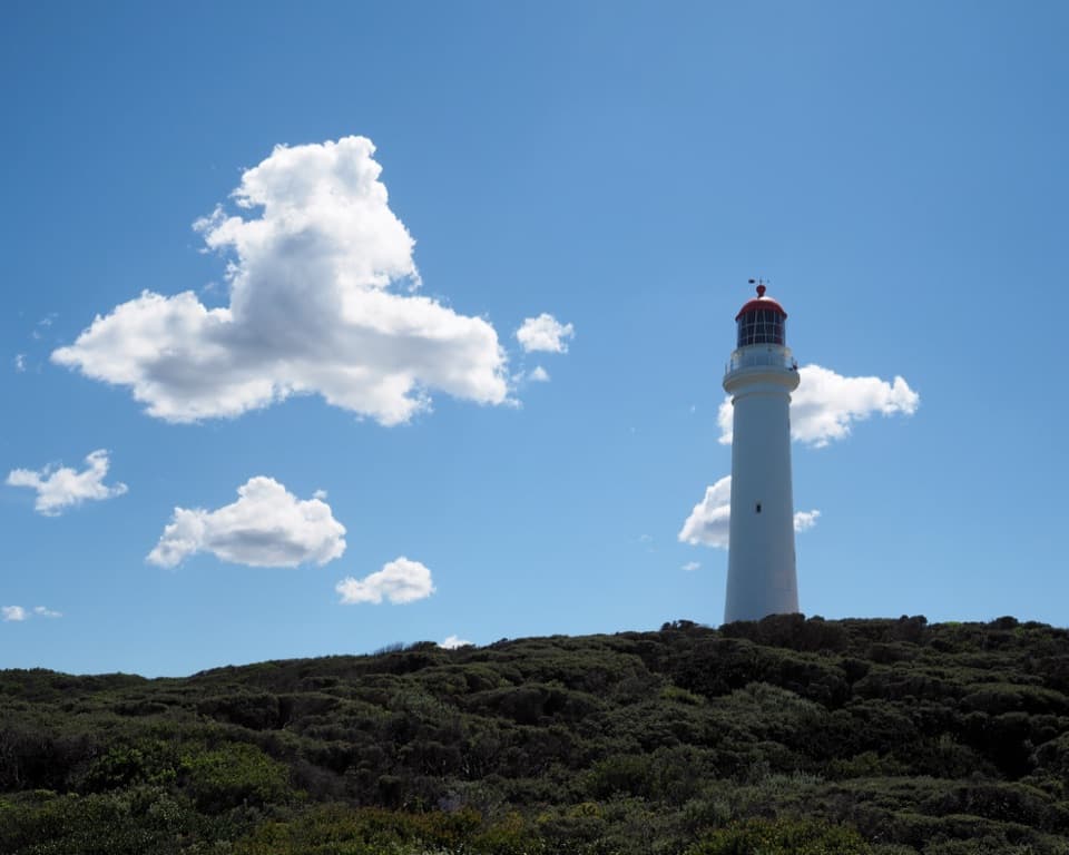 Sight · 5.2 km awaySplit Point LighthouseA working lighthouse climb with sweeping views over Bass Strait.
 Picnic area · 5.4 km awayDistillery Creek Picnic AreaShady tables and an easy forest loop off the Great Ocean Road.
 Restaurant · 5.5 km awayA La GrecqueGreek seafood, a big veranda, and a fireplace for cooler days.
Parkwolf’s Great Ocean Road ranking

The audio tour guide for the drive, plus offline maps, trails, and wildlife heatmaps for when the signal drops.