Moggs Creek Ocean View Walk in Great Ocean Road

Great Ocean Road, VIC

Moggs Creek Ocean View Walk

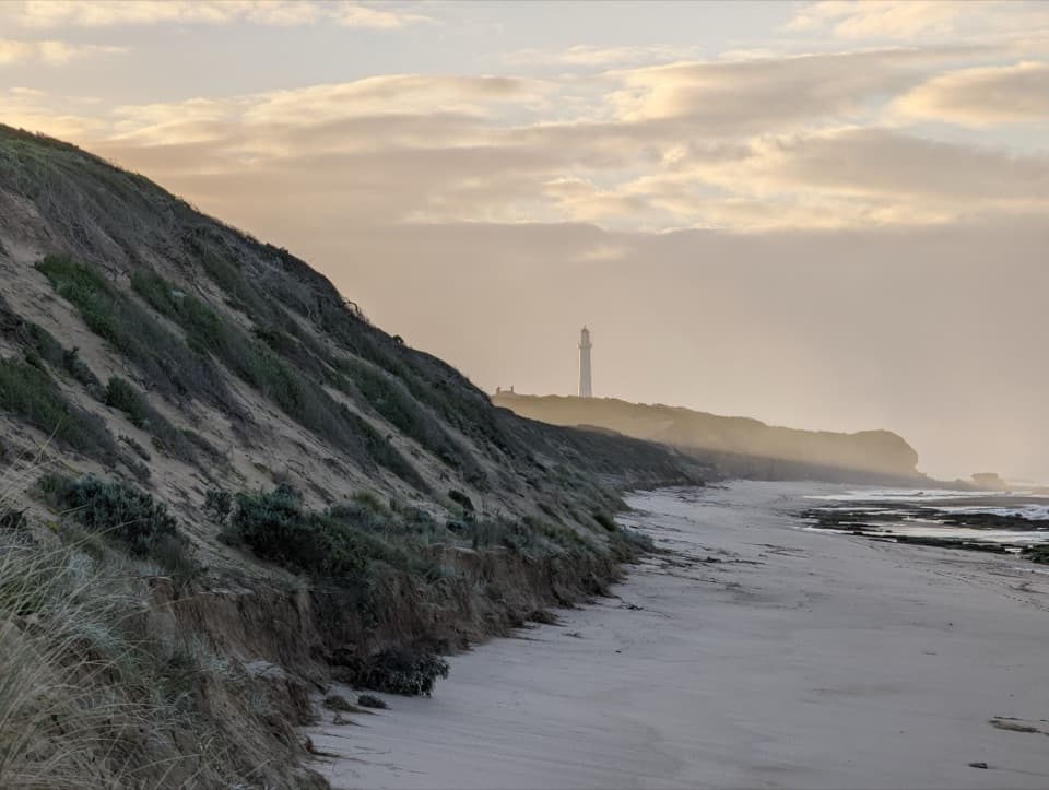
Forest climbs open to a broad Great Ocean Road lookout.

Length
4.5km
Time
2hr
Elev. change
102m
Difficulty
Moderate
  • Loop
  • Dogs allowed
  • High point 148 m
  • #44 of 109 in Great Ocean Road

Hear the audio tour

Moggs Creek Picnic Area

Overview

About Moggs Creek Ocean View Walk

Why go

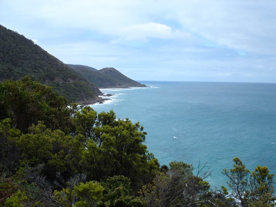
  • A broad coastal panorama toward Aireys Inlet and Lorne.
  • A varied walk through dry forest, grass-trees and seasonal wildflowers.

Heads up

  • Several sustained uphill and steep sections for a short circuit.

Map & elevation

The route

Loading the Great Ocean Road map
Full map
Elevation46–148 m
TrailheadMoggs Creek Picnic Ground, west car park-38.45835, 144.05975
Keep this map with you offline in the Parkwolf app

Plan your hike

Before you go

Parking

Moggs Creek Picnic Ground, at the west end of the car park by the Ocean View Track sign. From the Great Ocean Road, turn onto Old Coach Road east of Moggs Creek Bridge, follow the picnic-ground signs via Old Neuk Road, then continue on the unsealed access road.

Safety

The park webpage displayed a general closure status but no trail-specific notice; confirm current Parks Victoria alerts and road access before travel. The route has a fair amount of uphill walking. Dogs must remain on lead on the Ocean View Walking Track.

7 active Great Ocean Road alerts

  • ClosureLorne-area walking trails closed after flood and storm damageSeveral walking trails near Lorne remain closed; do not enter closed tracks. - Phantom Falls Walk is temporarily closed because flood and storm damage affected the trail and structures.Official details
  • ClosureWye Road closed after storm and flood damageWye Road is closed until further notice for road maintenance and repairs following storm and flood damage; do not use the road. Check current Great Otway National Park conditions before travelling.Official details
See all 7 alerts
A park ranger sits on a dash-mounted phone, talking, as Parkwolf’s Tour Guide plays “Army Cutworm Moths: A Grizzly Bear Buffet” on Grand Loop Road below Dunraven Pass in Yellowstone
Parkwolf Tour GuideThe highest, rockiest slopes around here are a summer buffet for grizzly bears.

Great Ocean Road Tour Guide

Your drive to Moggs Creek Ocean View Walk, narrated.

Parkwolf is a GPS audio tour guide for Great Ocean Road. As you drive, it chimes in with what’s ahead: hidden gems, upcoming stops, history, geology, and wildlife, right through your car’s speakers.

See the Great Ocean Road audio tour

Recorded for this trailhead

Moggs Creek Picnic Area
0:00 / 0:29
“Up ahead is Old Coach Road, the turnoff for Moggs Creek Picnic Area. The clearing is farther inland, with an unsealed final approach, so choose it if you'd like to settle into the eucalypt forest for lunch.”

Plays as you drive up to this trailhead in the Parkwolf Great Ocean Road Tour Guide.

More stories near here in the app

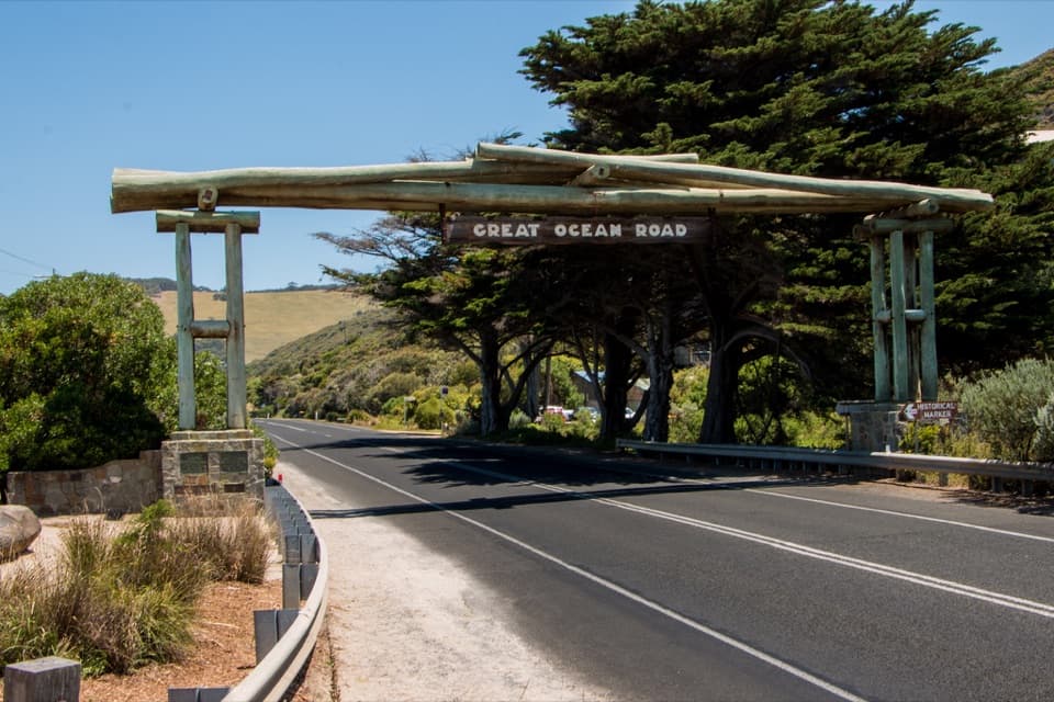
  • Great Ocean Road Memorial Arch
  • Fairhaven Beach
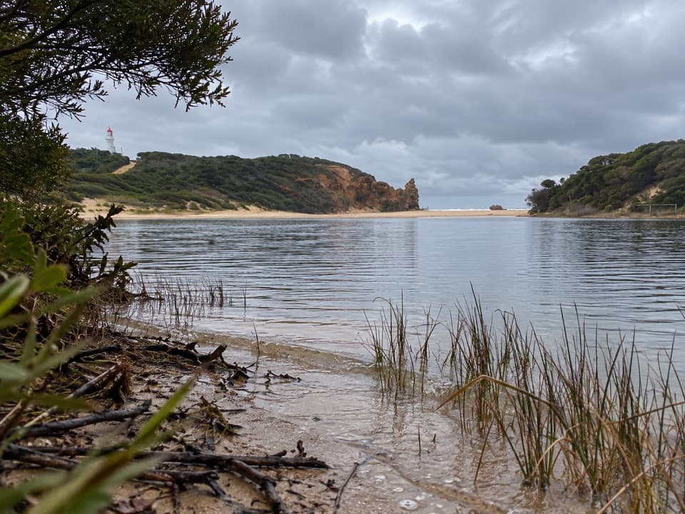
  • Painkalac Creek Nature Walk
  • A Pelican Drains Its Catch
  • 181 audio storiesacross Great Ocean Road’s roads, triggered by GPS as you drive
  • Wildlife heatmapsfor Koala, Kangaroo, Little Penguin, and 13 more
  • Works offlinemaps, 109 trails, 99 places, and audio download before you lose signal
  • CarPlay readysimple controls built for the drive
★★★★★
“Fantastic app with many points of information… It’s great to just turn on while you’re driving and it gives you an audio tour of the national Park. We love it!!!!”
JMJamesApp Store review
Download Parkwolf on the App StoreGet Parkwolf on Google Play

4.7 from 8,600+ ratings

Trail guide

Hiking Moggs Creek Ocean View Walk

The circuitThis 4.5 km (2.

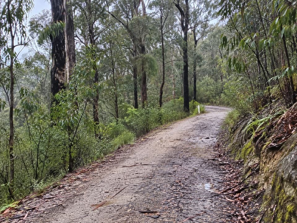
This 4.5 km (2.8 mi) moderate loop begins at the Ocean View Track sign at the west end of Moggs Creek Picnic Ground’s car park. Follow the well-graded forest path uphill, cross a management track, then turn left down Moggs Creek Track and take the short heathland spur to Ocean View Lookout. Return to the junction and follow the signed forest track back to the picnic ground. Allow about two hours. The visitor map and park management plan list 4.5 km; a local walking description gives 5 km, so Parkwolf follows the mapped circuit and official map distance.

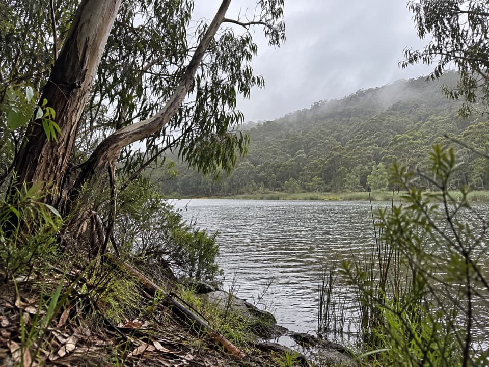
Through the forestThe first section climbs through drier ironbark, messmate, peppermint and gum forest.

The first section climbs through drier ironbark, messmate, peppermint and gum forest. After roughly 20 minutes the path crosses a management track; the sea can already be heard, with glimpses through the trees. Austral grass-trees stand among wattles and native grasses. Expect steady uphill walking even though the track is described as well graded.

Ocean View LookoutFrom the wide Moggs Creek Track, descend to a small path through heath that leads to the…

From the wide Moggs Creek Track, descend to a small path through heath that leads to the viewing area. The lookout opens across the coast toward Aireys Inlet and Lorne and along the Great Ocean Road. Retrace the heath spur, cross Moggs Creek Track and take the signed return path through forest to the picnic ground.

Fire, flowers and wildlifeBlackened ironbark trunks recall the 1983 bushfires and later fuel-reduction burns.

Blackened ironbark trunks recall the 1983 bushfires and later fuel-reduction burns. Small terrestrial orchids may flower in winter and spring, while Large-leaf Bush-pea adds spring color; Cypress Daisy-bush grows along the return section. Rufous Bristlebirds, Eastern Yellow Robins, White-throated Treecreepers and Grey Shrike-thrushes are recorded in the area, and Eastern Grey Kangaroos are often seen, though wildlife sightings are never certain.

At the startMoggs Creek Picnic Ground has toilets, picnic tables, an information board and wood-fired…

Moggs Creek Picnic Ground has toilets, picnic tables, an information board and wood-fired barbecues; bring your own firewood. The approach road’s final section is unsealed. Dogs are permitted on lead on the Ocean View Walking Track. The park webpage showed a general closure status without identifying this walk, so check current Parks Victoria alerts and road access before setting out.

Wildlife

Wildlife in Great Ocean Road

All Great Ocean Road wildlife maps

Sighting maps show where each species has been reported across Great Ocean Road. Wildlife moves, so no sighting is guaranteed.

Keep exploring

Near Moggs Creek Ocean View Walk

See it all on the map

Trails that start nearby

Places near the trailhead

Parkwolf’s Great Ocean Road ranking

Top-rated trails in Great Ocean Road

All 109 trails
  1. 1Great Ocean WalkChallenging · 100 km
  2. 2Maits Rest Rainforest WalkEasy · 0.8 km
  3. 3Triplet Falls WalkModerate · 2 km
  4. 4Hopetoun Falls WalkModerate · 0.8 km
  5. 5Erskine Falls WalkModerate · 0.7 km
  6. 6Surf Coast WalkChallenging · 41.5 km

Take Parkwolf to Great Ocean Road.

The audio tour guide for the drive, plus offline maps, trails, and wildlife heatmaps for when the signal drops.

4.7 from 8,600+ ratings

Download Parkwolf on the App StoreGet Parkwolf on Google Play