Moderate

Chestnut Top Trail

Wildflower-rich ridge walk with optional shorter turnaround
Chestnut Top Trail, Great Smoky Mountains National Park
Distance8.6 mi
Typical time4.2 hr
DifficultyModerate
PetsNot allowed

Overview

Chestnut Top is a classic Smokies ridge ramble that shines in spring. Hike it as an 8.6-mile out-and-back to the Schoolhouse Gap junction (the full route), or make it a friendlier 5.6-mile round trip to a ridgetop clearing that the park commonly suggests as a turnaround. Expect a sustained early climb, intermittent views, and some of the best wildflower displays in the park.

What to Expect

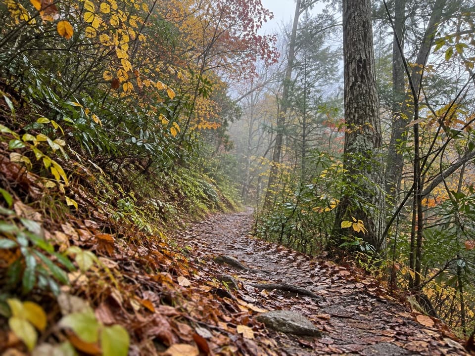
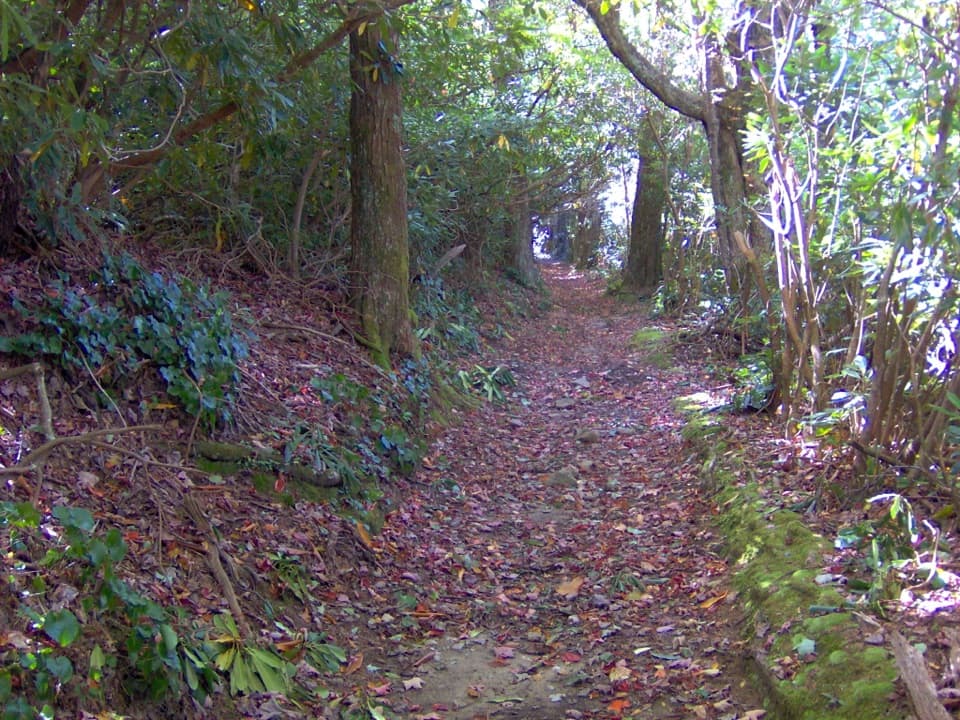
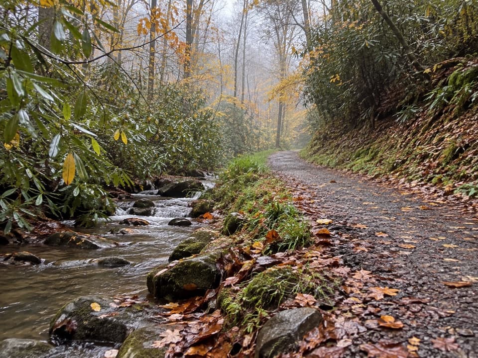
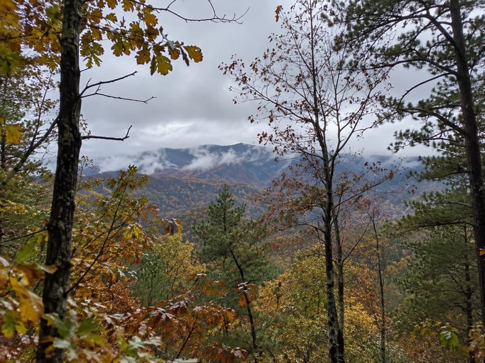
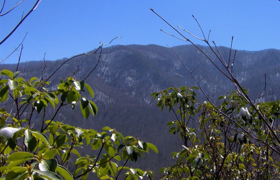
From the Townsend Wye, the trail climbs steadily for the first 0.5–0.7 miles (about 300 feet) above the entrance road, then eases onto Chestnut Top Lead for rolling ridge walking. The path can be rocky, rooty, and occasionally narrow, with soft stretches of pine needles underfoot. Views are spotty—think glimpses toward Townsend and Tuckaleechee Cove—best before full leaf-out or on clear, dry days when fog isn’t hanging on the ridge.

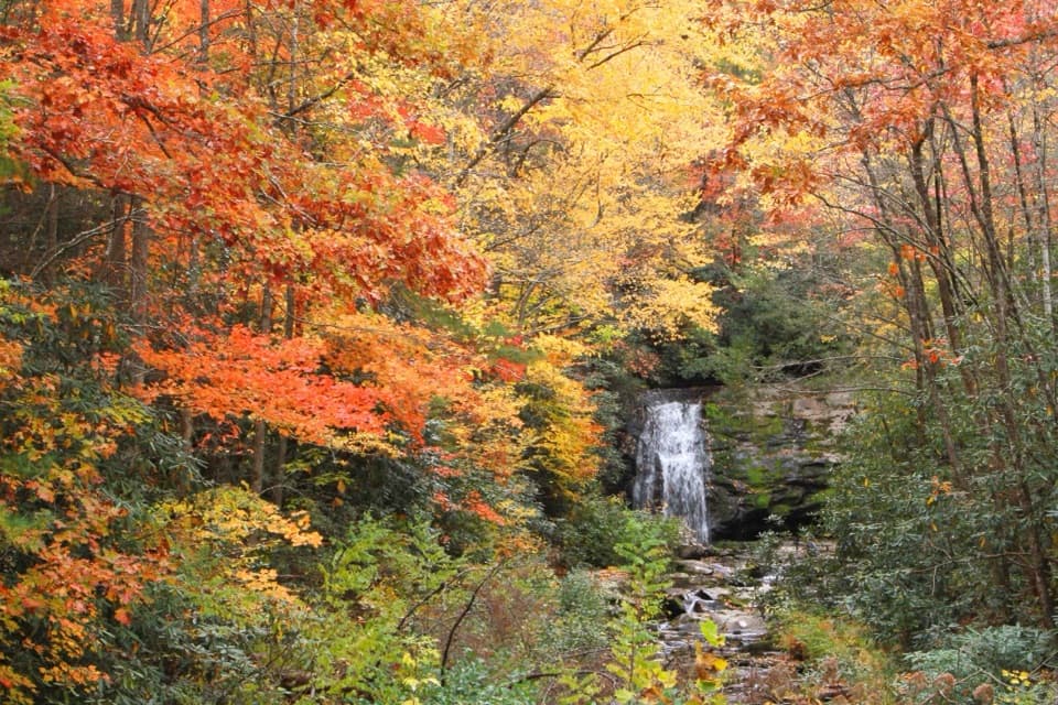
Wildflowers are the headliner. In late March through May the first half-mile to mile is a carpet of color: early bloomers like bloodroot, hepatica, violets, and trilliums give way to spring beauties, Jack-in-the-pulpit, phacelia, fire pink, bishop’s cap, wild stonecrop, and more. Into early summer, look for squawroot, jewelweed, rattlesnake hawkweed, and hairy beardtongue.

Route Notes

  • Shorter option: About 2.8 miles from the trailhead a slight ridgetop clearing offers rewarding views—turning around here makes a solid 5.6-mile day.
  • Full option: Continue roughly 1.5 more miles beyond the clearing to reach the Schoolhouse Gap Trail junction at 4.3 miles, then return the same way (8.6 miles total). Plan roughly 4+ hours for the full out-and-back.

Access and Logistics

Park at the Townsend Wye (junction of Little River Road and Townsend Entrance Road). The trailhead is across the road—use caution crossing. A park parking tag is required if you’ll be there more than 15 minutes. There are no facilities on the trail; the nearest restrooms are at the Townsend Visitor Center. Bring plenty of water and snacks, sturdy footwear, and consider trekking poles for the rocky/rooty sections and the descent.
Best Time to Hike

April–May is prime time if you’re chasing wildflowers. Fall color can also be lovely. In summer, foliage blocks many views and the ridge can feel enclosed, so go early for cooler temps and a calmer parking situation. For photos, morning light is kind to the east-facing glimpses on the ascent; clearer days minimize ridge-top haze.

Keep an Eye Out

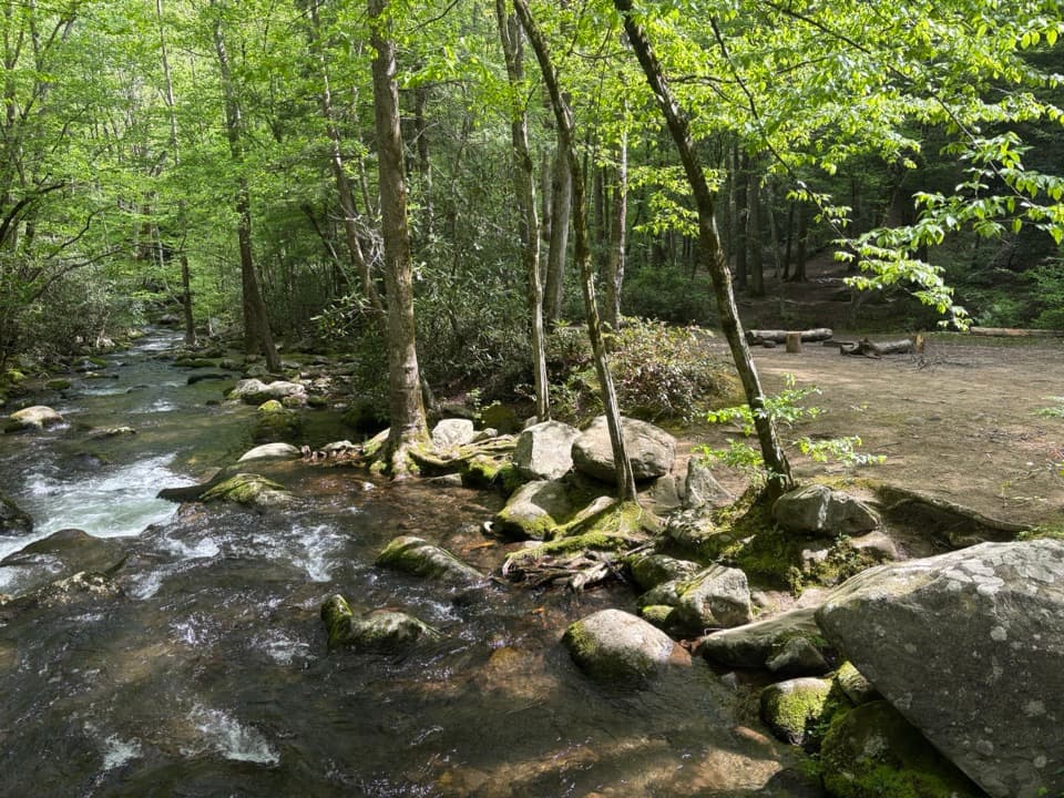
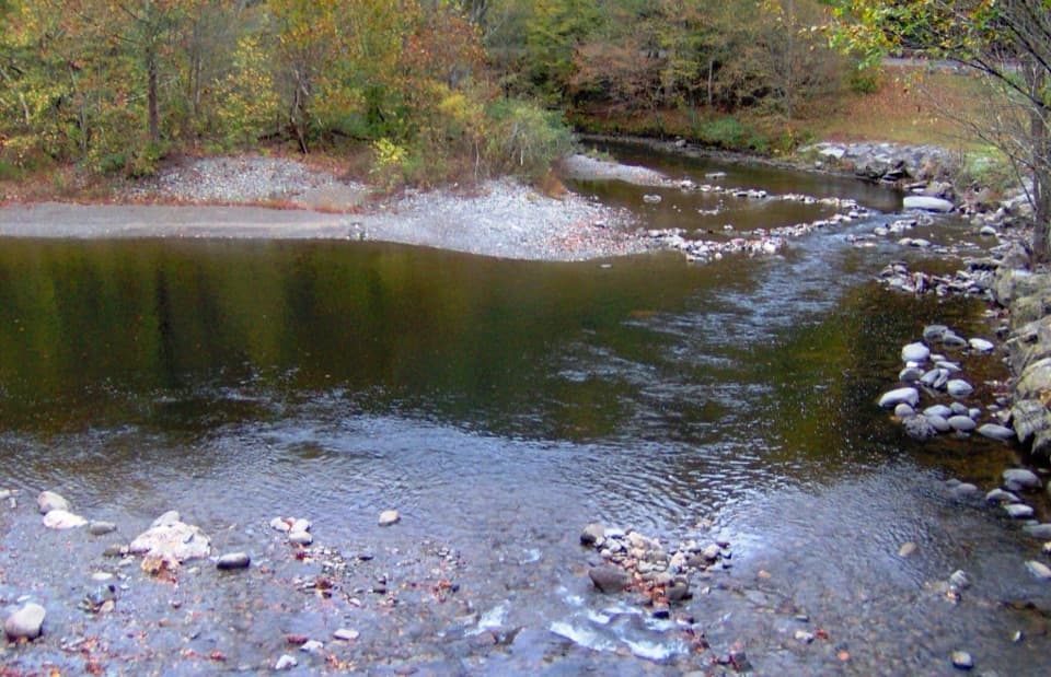
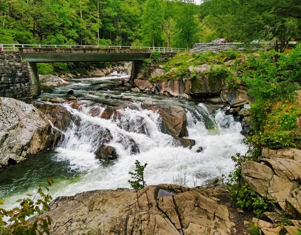
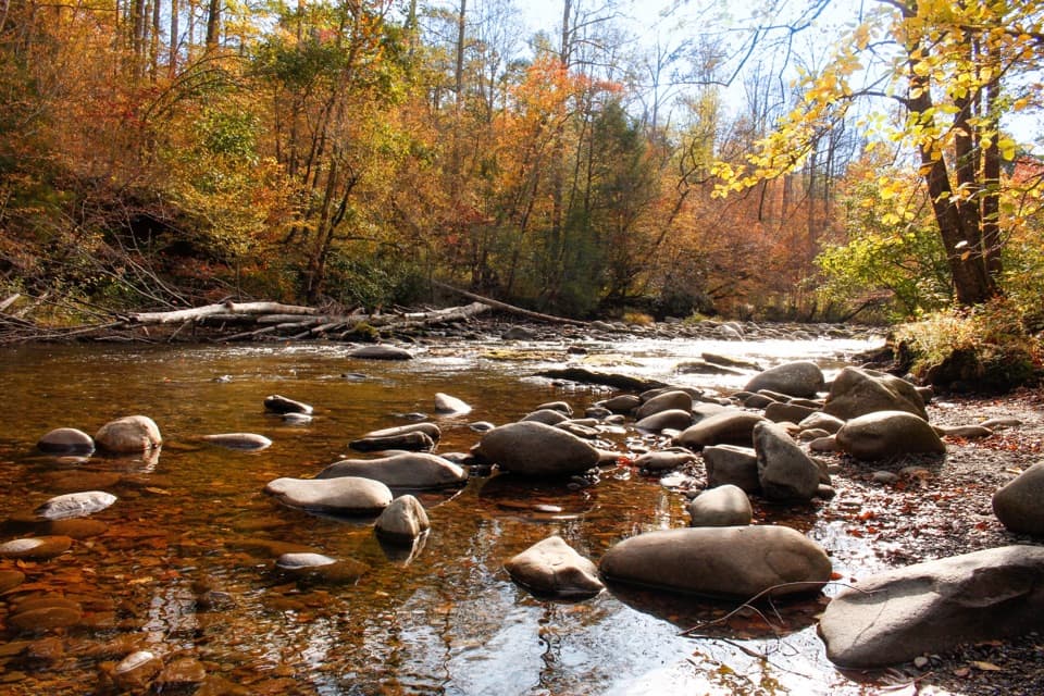
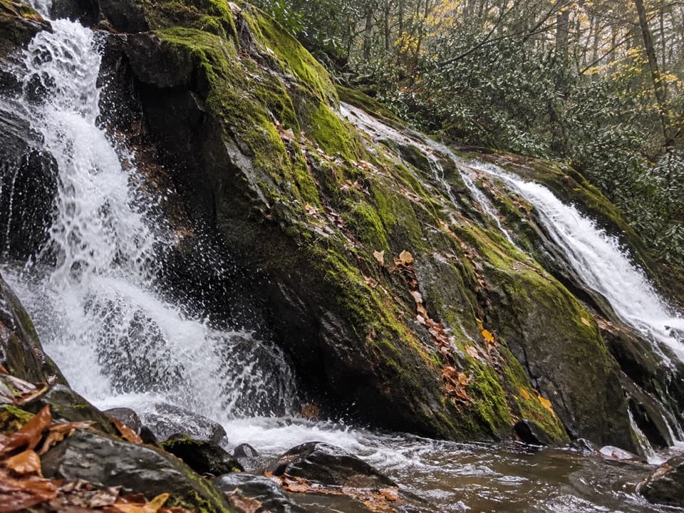
Black bears live here—give them space and secure your food. Nonvenomous snakes (like northern water snakes and black rat snakes) are occasionally seen; step around and let them be. After your hike, on warm days and when water levels are safe, the Townsend Wye is a popular place to cool off in the Little River.

Is It For You?

If wildflowers are your thing, this trail is a must. If you’re after big, constant views, the intermittent vistas may underwhelm—consider other ridge or mountaintop routes. Want a mellower alternative nearby? Lynn Camp Prong Cascades offers a short waterfall outing. For a bigger day from the Townsend side, look at Rich Mountain Loop.

Pros

  • One of the park’s richest spring wildflower displays packed into the first mile
  • Flexible day: rewarding 5.6-mile turnaround or full 8.6-mile push to Schoolhouse Gap
  • Easy post-hike cool-off at the Townsend Wye when conditions are safe

Cons

  • Views are intermittent and mostly obscured once trees leaf out
  • Stout initial climb and rooty, rocky, narrow tread in places
  • You must cross the busy roadway from the Wye parking area

Parking

Park at the Townsend Wye where Little River Road meets the Townsend Entrance Road; a park parking tag is required. The trailhead is across the road from the lot—use caution crossing. Nearest restrooms are at the Townsend Visitor Center.
Caution

Busy road crossing at the Wye; rocky, rooty, occasionally narrow tread; no potable water; expect snakes and possible bear encounters—give wildlife space and keep food secured.

The Parkwolf tour guide sitting on a phone mounted in a car

Parkwolf Tour Guide

Like a tour guide in your car.

Bring Great Smoky Mountains trail research into the car, with offline maps and stories that play as you drive.Download Parkwolf on the App Store