
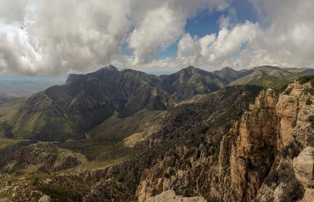
All Guadalupe Mountains places
34 places
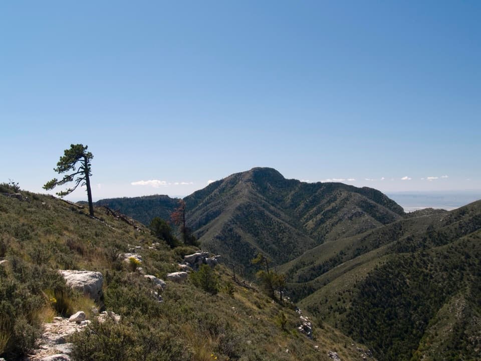 1Guadalupe PeakA steep, rocky hike reaches Texas' highest natural point.
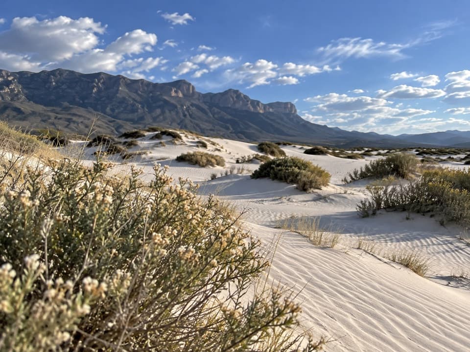 2Salt Basin DunesBright gypsum hills meet a dark mountain wall.
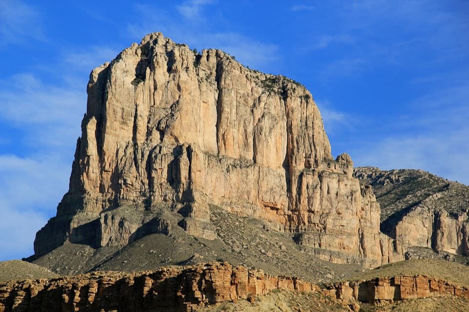 3El Capitan ViewpointA roadside look at an ancient reef towering over the desert.
 Pine Springs Visitor CenterStart here for permits, maps, and advice before your hike.
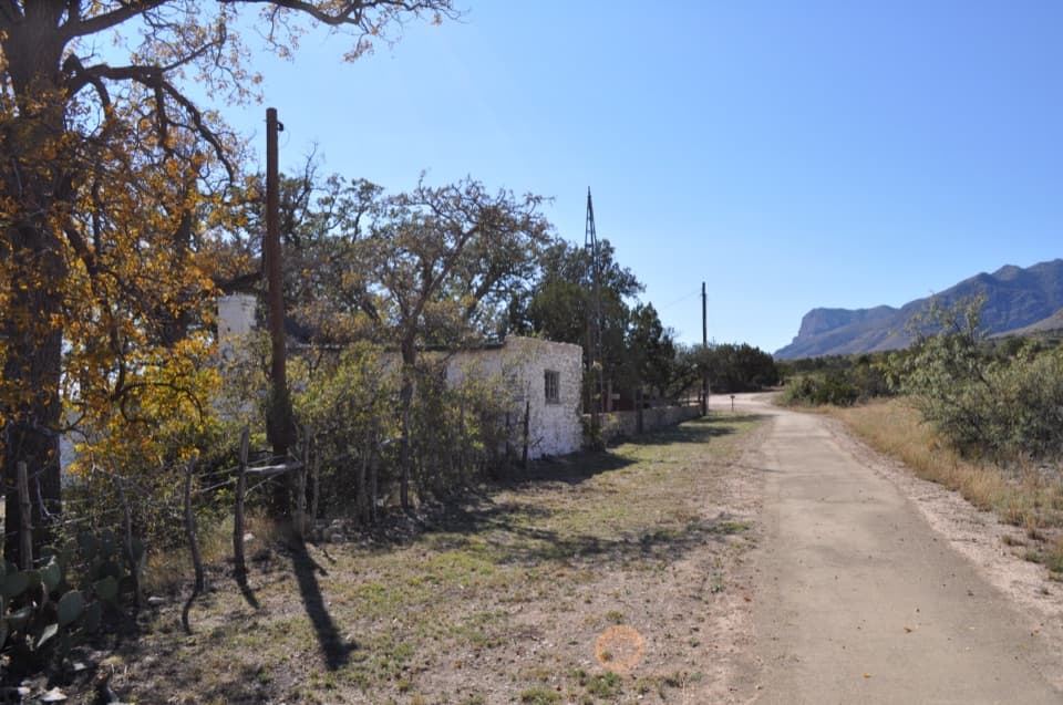 4Frijole Ranch MuseumA spring-fed ranch oasis with a schoolhouse and orchard.
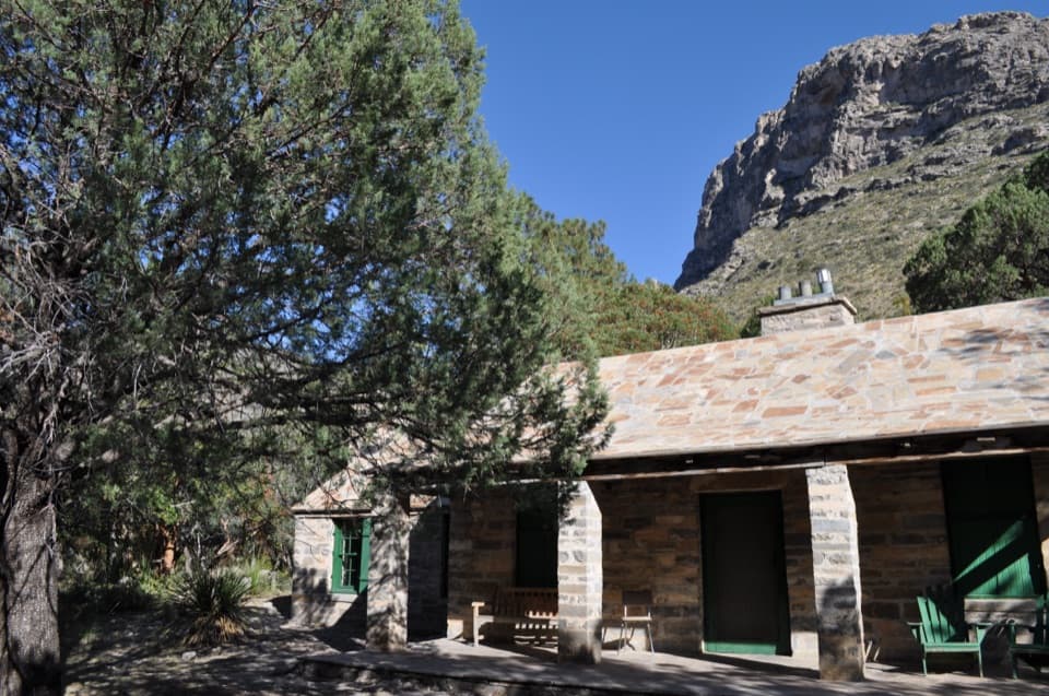 5Pratt CabinA stone cabin built with limestone hauled by pickup and horse-drawn sled.
 6The GrottoA shady cave-like picnic stop halfway up McKittrick Canyon.
 7Devil's HallA strenuous boulder scramble ends at a narrow limestone hallway.
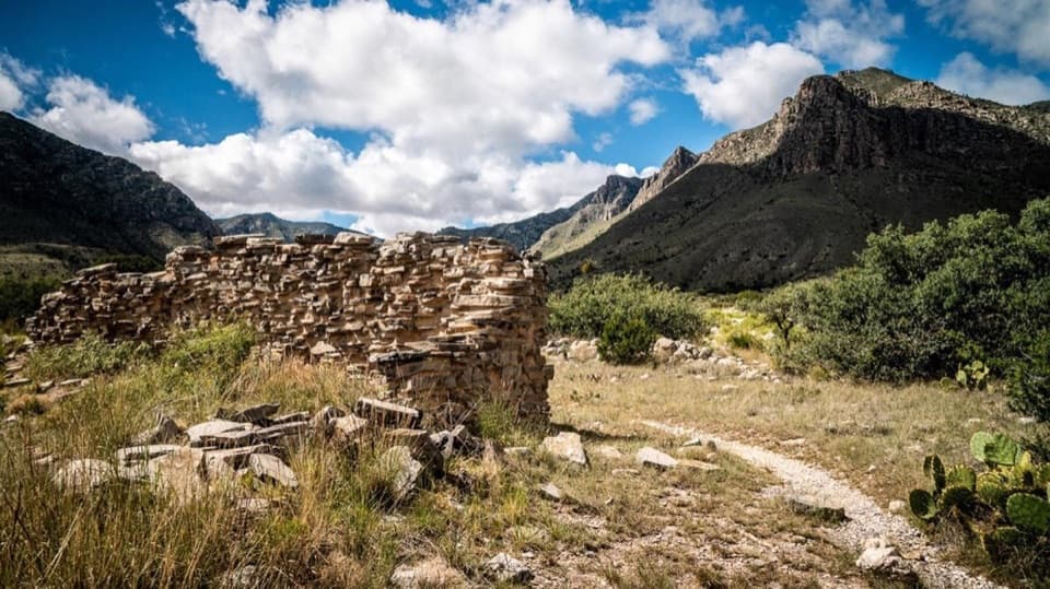 8The PineryAn easy walk to the Butterfield route's highest station.
 9Smith SpringA small cascade feeds a shady pool under the eastern escarpment.
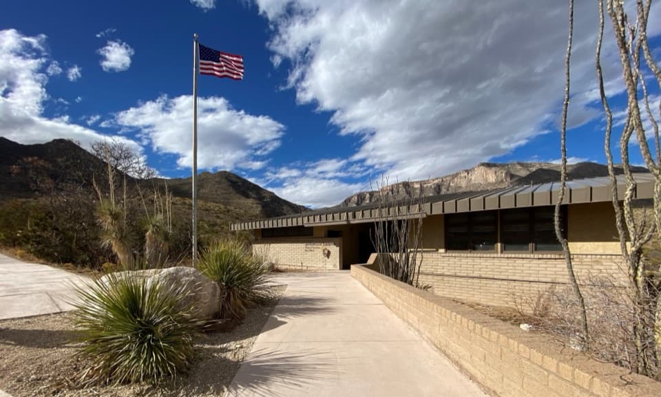 McKittrick Canyon Contact StationA practical starting point for McKittrick Canyon’s trail.
 10The NotchA tough hike reaches the ridge's window into South McKittrick Canyon.
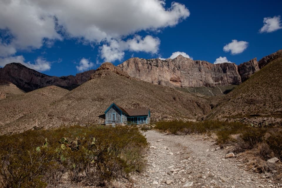 11Williams RanchA 1908 ranch house beneath Guadalupe's western escarpment.
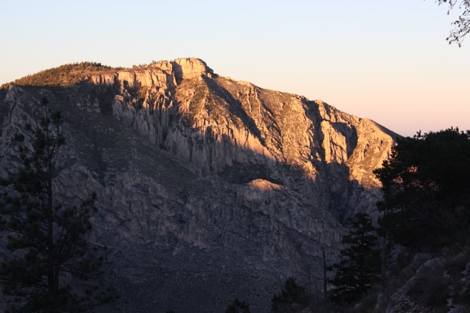 12Hunter PeakA full-day climb to broad views from Texas’s sixth-highest peak.
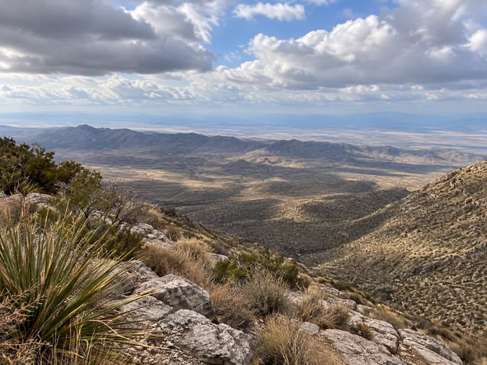 13Salt Basin OverlookA long, exposed hike ends at a west-facing salt-basin overlook.
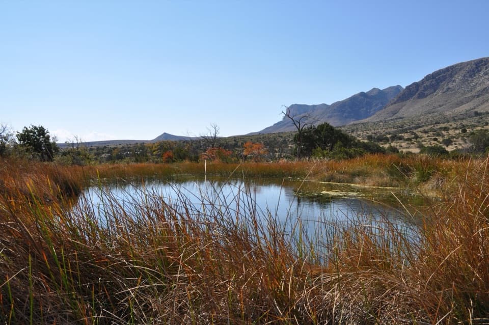 14Manzanita SpringShort spring walk, ranch history, and a chance to see desert birds.
 15Bush MountainTexas’s second-highest peak, reached by backcountry trail.
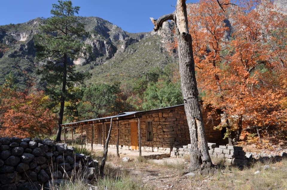 16Hunter Line ShackA stone ranching shack at the end of a 7-mile round trip.
 17Lost PeakA rocky summit with broad western views and an unmarked final approach.
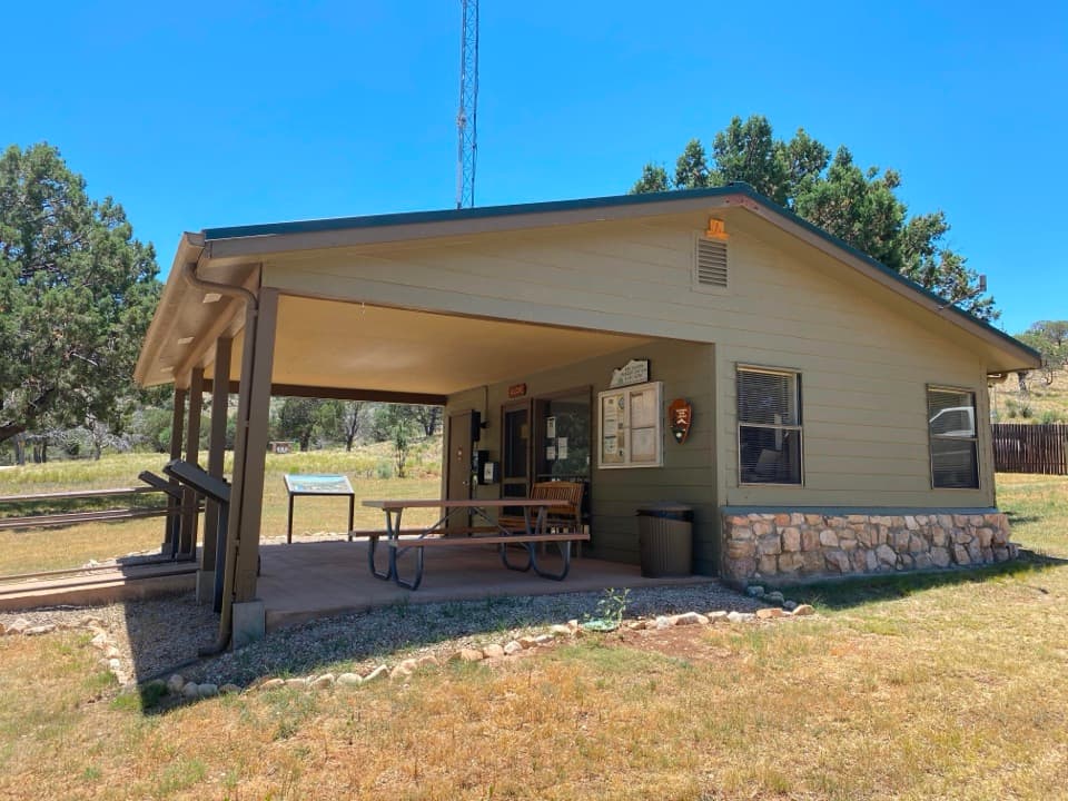 Dog Canyon Ranger StationA practical stop in the park’s remote northern district.
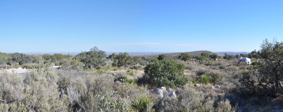 Pine Springs CampgroundA practical hiking base with tent sites, RV space, and mountain views.
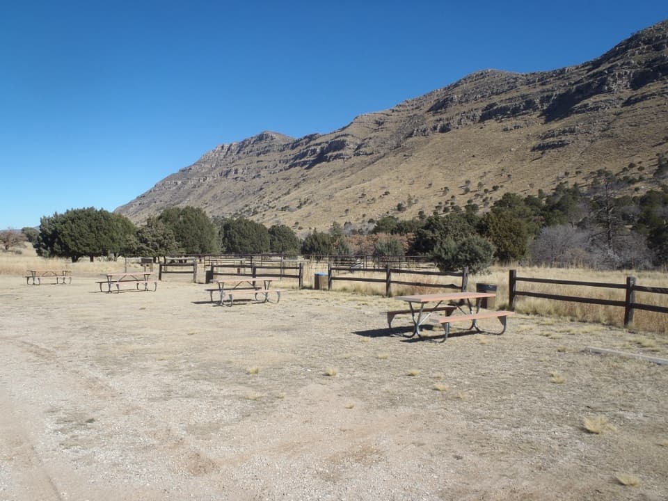 Dog Canyon CampgroundA quiet northern base for hikes into the park's high country.
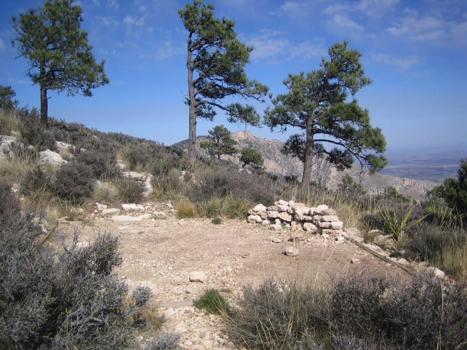 Guadalupe Peak Wilderness CampgroundOvernight on the steep climb to Guadalupe Peak.
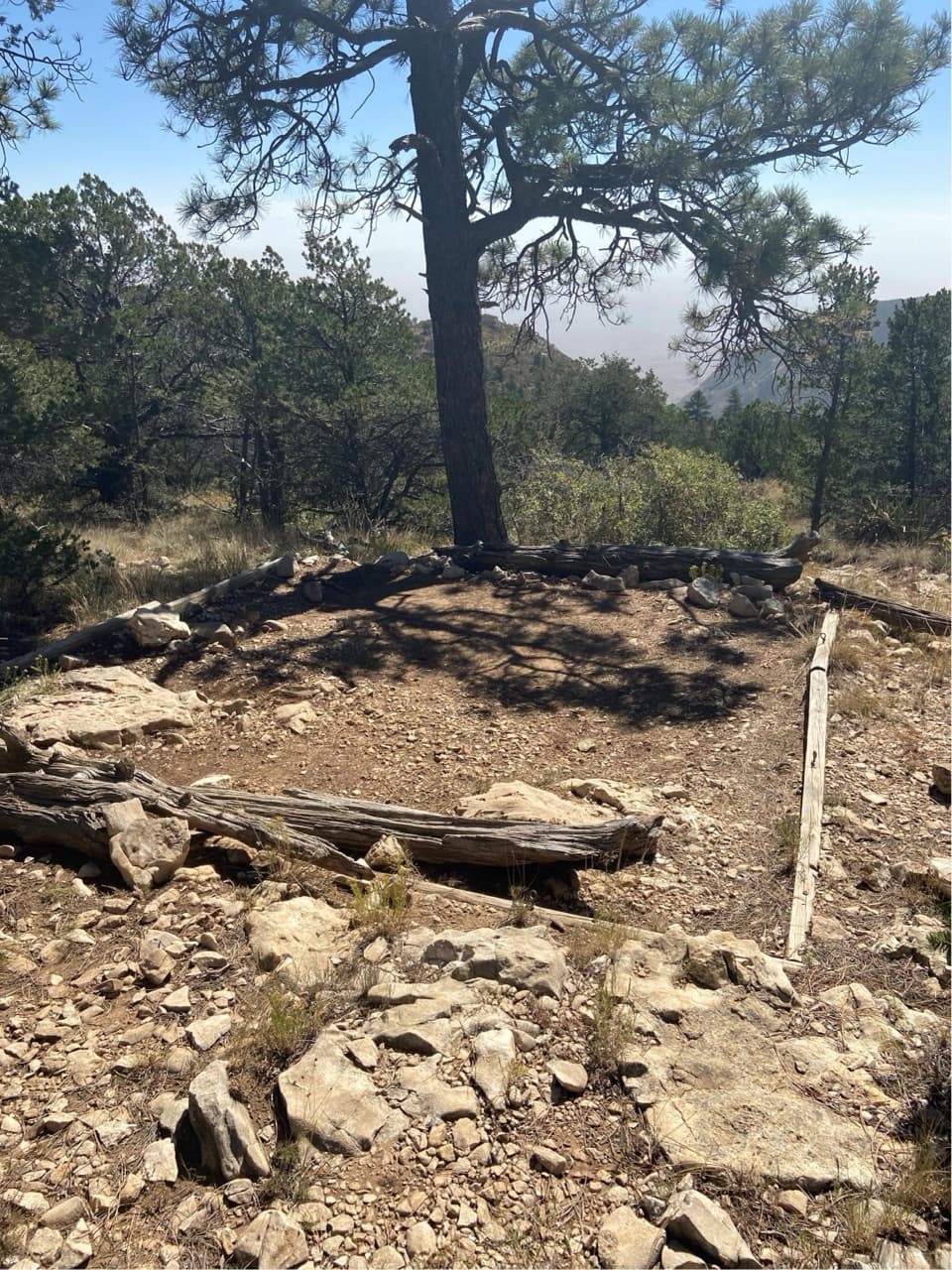 Pine Top Wilderness CampgroundEight high-country tent pads near the Bowl, reached by a steep climb.
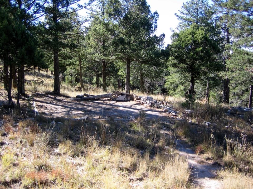 Bush Mountain Wilderness CampgroundA demanding hike to five tent pads and western sunset views.
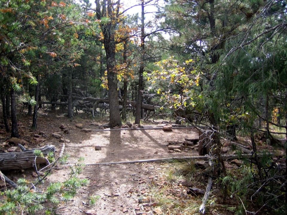 McKittrick Ridge Wilderness CampgroundEight remote tent sites on the ridge, reached by a steep backpack.
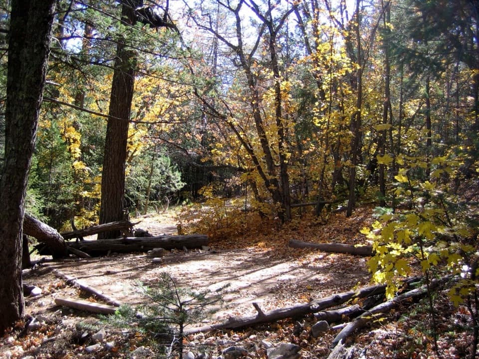 Tejas Wilderness CampgroundA shaded camp worth the walk if you can carry your water.
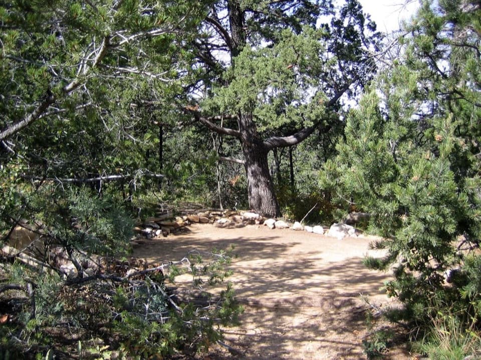 Mescalero Wilderness CampgroundAn eight-site, walk-in tent camp on the Tejas Trail.
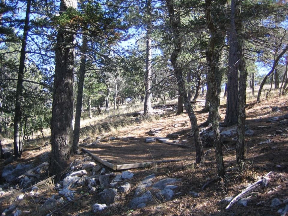 Blue Ridge Wilderness CampgroundA five-site walk-in camp among ponderosa pine and Douglas fir.
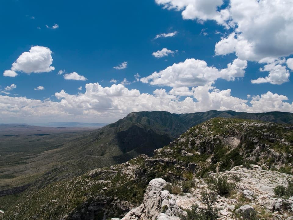 Wilderness Ridge Wilderness CampgroundA five-pad backcountry camp at the end of a 2,000-foot climb.
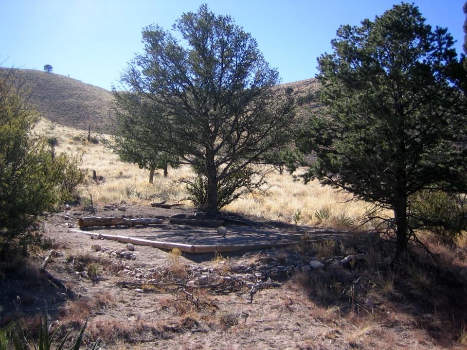 Marcus Wilderness CampgroundFive tent sites, 3.7 miles on foot from Dog Canyon.
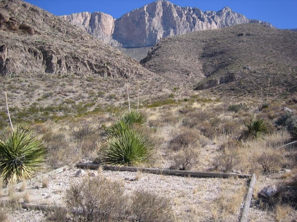 Shumard Canyon Wilderness CampgroundA nine-mile backpack to camps beneath the western escarpment.
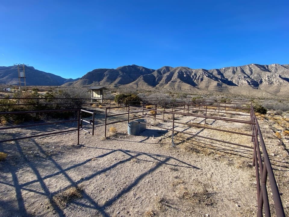 Frijole Horse Corral CampgroundHorse camping with a clear view of the park's high peaks.
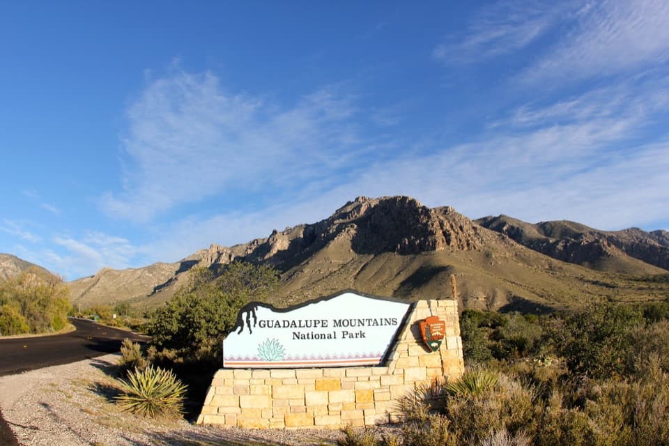 18Guadalupe Mountains National Park Entrance Sign (Pine Springs)A quick entrance photo with Hunter Peak behind the sign.
The highest, rockiest slopes around here are a summer buffet for grizzly bears.
Guadalupe Mountains Tour Guide
Guadalupe Mountains, narrated.
Parkwolf is a GPS audio tour guide for Guadalupe Mountains National Park. As you drive, it chimes in with what’s ahead: hidden gems, upcoming stops, history, geology, and wildlife, right through your car’s speakers.
Recorded for this place
Pine Springs: The Guadalupe Peak Climb0:00 / 0:24
“You're nearing Pine Springs Trailhead, where the climb to Guadalupe Peak begins.”
Plays as you drive up to Guadalupe Peak in the Parkwolf Guadalupe Mountains Tour Guide.
More stories near here in the app
- Pine Springs Visitor Center and the Pinery
- Why an Airline Marked the Summit
- Why Vultures Circle
- El Capitan Viewpoint: A Reef Above the Road
- 22 audio storiesacross Guadalupe Mountains’s roads, triggered by GPS as you drive
- Wildlife heatmapsfor Aoudad, Mule Deer, Wild Turkey, and 13 more
- Works offlinemaps, 32 trails, 34 places, and audio download before you lose signal
- CarPlay readysimple controls built for the drive
“Fantastic app with many points of information… It’s great to just turn on while you’re driving and it gives you an audio tour of the national Park. We love it!!!!”

