Parking
Start and finish at Hilina Pali Overlook at the end of Hilina Pali Road. The loop returns to the same access, so no second vehicle is needed.
Hawaiʻi Volcanoes National Park, HI
A steep pali descent opens onto a hot, rocky coastal loop.
Overview
Map & elevation
Plan your hike

The highest, rockiest slopes around here are a summer buffet for grizzly bears.
Hawaiʻi Volcanoes Tour Guide
Parkwolf is a GPS audio tour guide for Hawaiʻi Volcanoes National Park. As you drive, it chimes in with what’s ahead: hidden gems, upcoming stops, history, geology, and wildlife, right through your car’s speakers.
See the Hawaiʻi Volcanoes audio tourRecorded for this trailhead
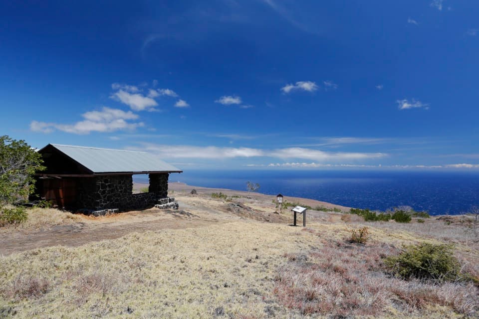
Hilina Pali: The View Beyond the Shelter“Hilina Pali Overlook is ahead, high above the Pacific coast. For the fullest view, follow the short grass path beyond the stone shelter to the rocky outcrop and orientation plate.”
Plays as you drive up to this trailhead in the Parkwolf Hawaiʻi Volcanoes Tour Guide.
More stories near here in the app
“Fantastic app with many points of information… It’s great to just turn on while you’re driving and it gives you an audio tour of the national Park. We love it!!!!”


Trail guide
Hilina Pali Overlook Loop is an 8.1-mile circuit from the overlook down Hilina Pali, south to Kaʻaha, east on the connector, and back up to the overlook. That figure includes the short out-and-back from the connector junction to Kaʻaha’s shelter and shore. Published loop estimates differ, so treat 8.1 miles as a mapped planning figure rather than a surveyed park total. Allow six to eight hours; 7.5 is a practical estimate for the app, not a published time. This is a demanding backcountry hike, not a quick stroll from the viewpoint.
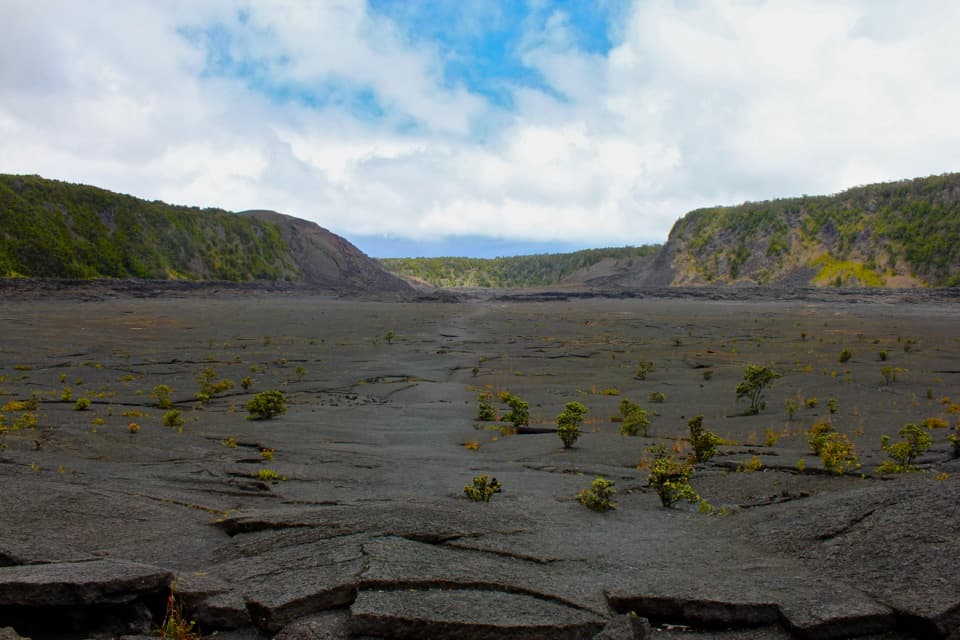
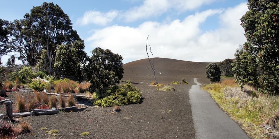
From Hilina Pali Overlook, the trail drops through 24 steep switchbacks in tall grass and scattered ʻōhiʻa. The footing is rocky and uneven, and cairns can be difficult to pick out when grass is high. A large ʻōhiʻa partway down is the only dependable shade on this slope. Near the base, the route crosses loose rubble from the 2018 eruption; the tread can be hard to distinguish there, especially on the uphill return.
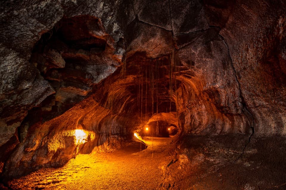
At the lower junction, take Kaʻaha Trail south across hot lava and scrub to the coast. The cairn-marked line passes collapsed lava-tube openings, where the thin crust can be dangerous. At Kaʻaha, the primitive shelter and composting toilet sit inland from a rocky shoreline and protected cove; this is not a sandy beach. Return to the junction, then take the rough eastern connector, where sparse cairns and open ground make navigation slow. It rejoins Hilina Pali Trail for the climb back to the overlook.
Most of the coast and connector are exposed, with little shade. Plan around the heat: avoid the hottest part of the day and carry at least four quarts of water per person. The catchment tank at Kaʻaha may be empty, and its water needs treatment. Cairns can disappear in mist or darkness, so this is a poor route to start late or follow without a reliable map.
Kaʻaha has evidence of traditional Hawaiian settlement, including agricultural pits, house sites, petroglyphs, and stone game boards. Leave the structures untouched and avoid walking on or rubbing petroglyphs. Dogs are not allowed on park trails except service animals. An overnight stay at the campground requires a backcountry permit; the day hike itself is not a campsite reservation.
The overlook’s stone shelter, dry slope, and open ocean make a distinctive frame for the coast below. On the descent, the views open along both sides of the shoreline. Take the time to look, but keep your footing on the steep, loose sections.
Wildlife
 600 sightingsHawaiian Goose (Nēnē)Most seen around 5 PMSighting map
 35 sightingsGreen Sea TurtleMost seen around 11 AMSighting map
 36 sightingsHawaiian Hawk ('Io)Most seen around 11 AMSighting map
 41 sightingsBlack NoddyMost seen around 5 PMSighting map
 96 sightingsWhite-tailed TropicbirdMost seen around noonSighting map
 24 sightingsHawai'i 'ElepaioMost seen around 8 AMSighting map
Sighting maps show where each species has been reported across Hawaiʻi Volcanoes. Wildlife moves, so no sighting is guaranteed.
Keep exploring
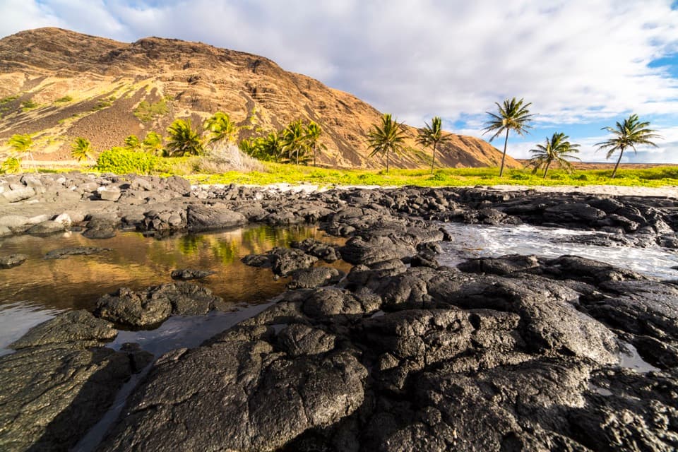 ChallengingHilina Pali Trail to Halapē16 mi · 10 hr · At the trailheadA long, hot lava descent to a remote coconut-lined shore.
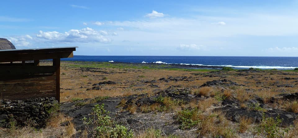 ChallengingKaʻaha Trail7.2 mi · 6 hr · At the trailheadA rocky cove rewards a steep, sun-baked climb back up the pali.
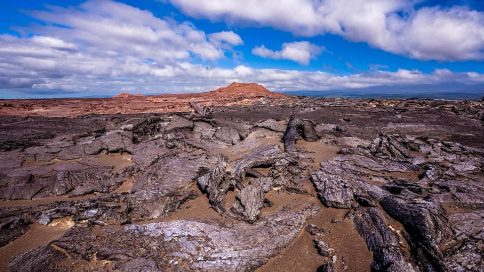 ModerateMaunaiki Trail7 mi · 4.5 hr · 3.8 mi awayA rough lava route through the Kaʻū Desert to Hilina Pali Road.
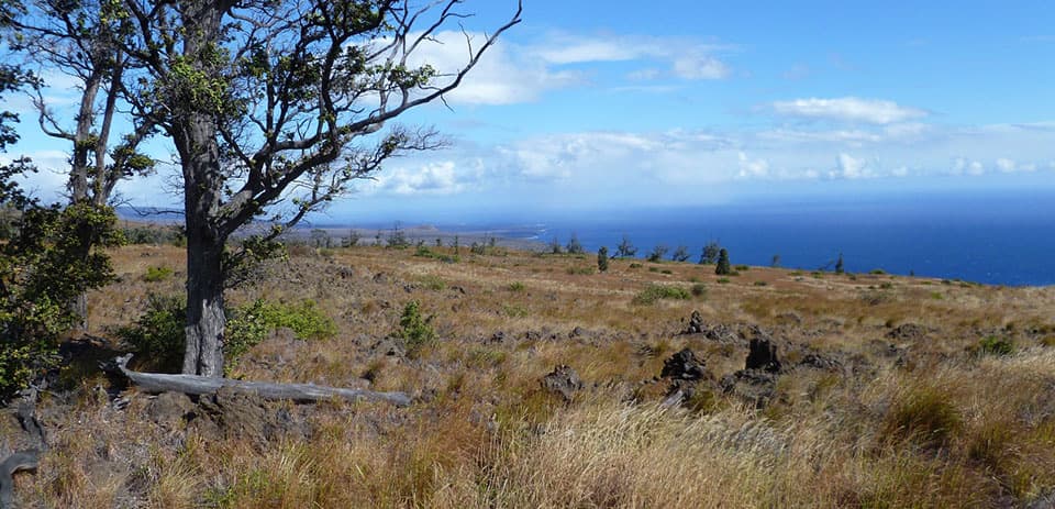 ChallengingKaʻū Desert Trail to Pepeiao9.1 mi · 7 hr · 4.7 mi awayA cairn-marked crossing to a remote backcountry camp.
 EasyFootprints Trail1.6 mi · 1 hr · 6.4 mi awayAn easy, exposed walk to a shelter interpreting Kaʻū Desert footprints.
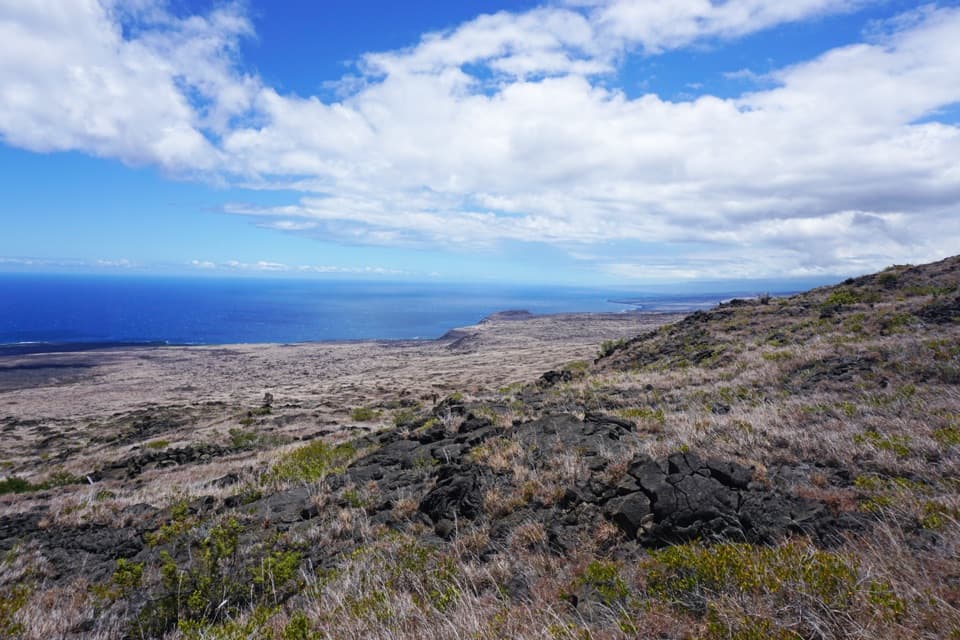 ChallengingKeauhou Trail15.2 mi · 8.5 hr · 7.3 mi awayLava ridges lead to a freshwater seep on the remote coast.
 ModerateMaunaulu / Puʻuhuluhulu Trail2.5 mi · 2.5 hr · 7.6 mi awayCross 1969 lava flows to a forested cone and its viewing platform.
 ChallengingNāpau Trail12.4 mi · 7.2 hr · 7.6 mi awayCross old lava rivers into a fern forest and a crater overlook.Sight · At the trailheadHilina Pali OverlookA nine-mile detour for Kīlauea’s wide-open Pacific view.Campground · 2.3 mi awayKaʻahaA remote coastal camp reached by a steep switchback descent.
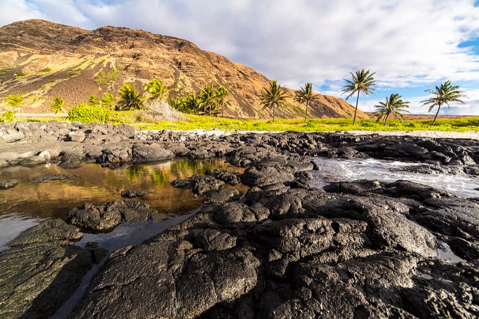 Campground · 3.8 mi awayHalapēA remote beach camp for prepared backcountry hikers.
 Campground · 4 mi awayKulanaokuaiki CampgroundA quiet, nine-site camp off the remote southern road.
 Campground · 4 mi awayPepeiao CampsiteA remote camp in grass and lava, reached only by long hikes.
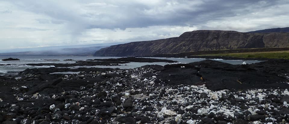 Campground · 5.3 mi awayKeauhou Backcountry CampsiteA primitive shelter and rocky bay reward a hard coastal hike.
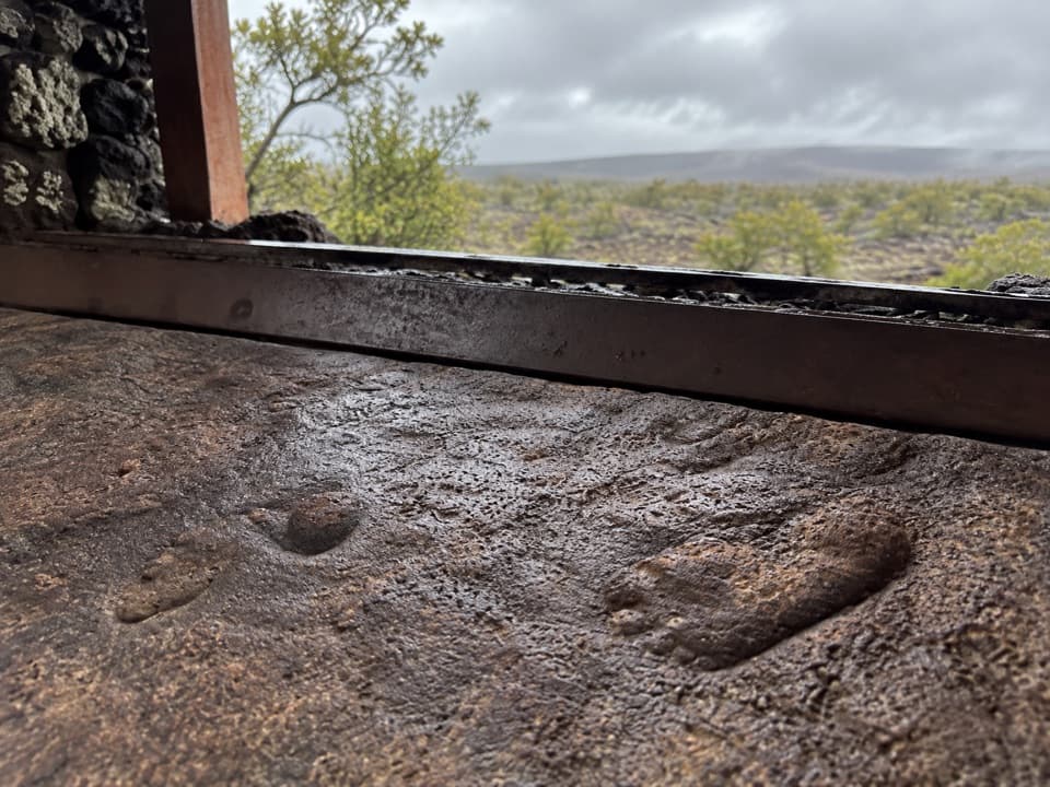 Sight · 5.8 mi awayFootprints ShelterA short walk to ancient footprints with a story still in dispute.
 Sight · 6.3 mi awayHawaiʻi Volcanoes National Park Sign — Highway 11 SouthA quick keepsake photo with the park’s lava-stone sign.
Parkwolf’s Hawaiʻi Volcanoes ranking

The audio tour guide for the drive, plus offline maps, trails, and wildlife heatmaps for when the signal drops.