Overview
About Edeowie Gorge
Why stop
- The enclosing rock walls make a memorable destination across the Pound.
Heads up
- The 23.2 km route is hard, and the twin falls are usually dry.
Map
Where it is

The highest, rockiest slopes around here are a summer buffet for grizzly bears.
Ikara-Flinders Ranges Tour Guide
Your drive to Edeowie Gorge, narrated.
Parkwolf is a GPS audio tour guide for Ikara-Flinders Ranges National Park. As you drive, it chimes in with what’s ahead: hidden gems, upcoming stops, history, geology, and wildlife, right through your car’s speakers.
More stories near here in the app
- Wilpena Visitor Centre and Resort
- Inside Ikara Wilpena Pound
- 49 audio storiesacross Ikara-Flinders Ranges’s roads, triggered by GPS as you drive
- Wildlife heatmapsfor Wedge-tailed Eagle, Short-beaked Echidna, Red Kangaroo, and 13 more
- Works offlinemaps, 21 trails, 43 places, and audio download before you lose signal
- CarPlay readysimple controls built for the drive
“Fantastic app with many points of information… It’s great to just turn on while you’re driving and it gives you an audio tour of the national Park. We love it!!!!”


Guide
More about Edeowie Gorge
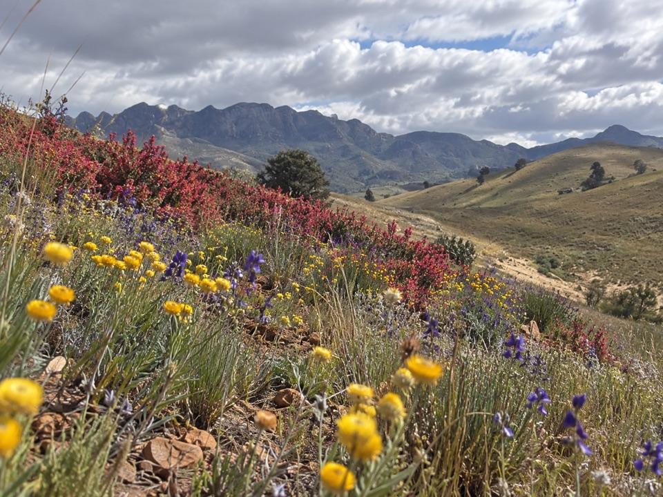
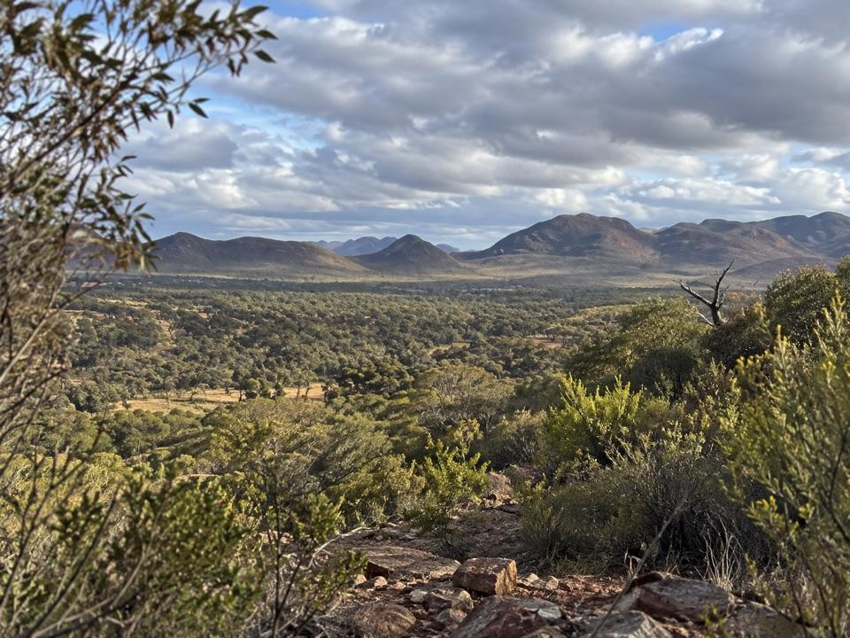
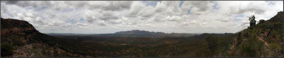
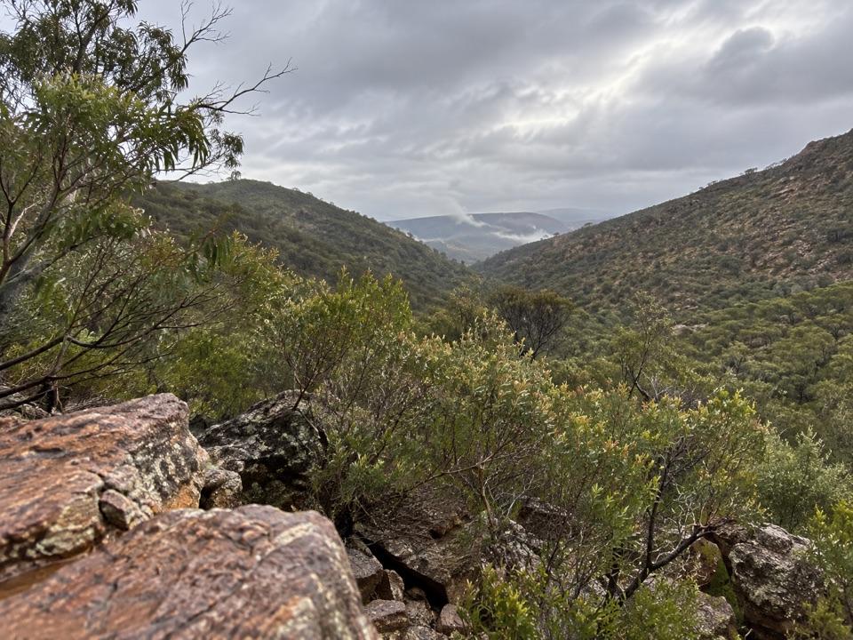
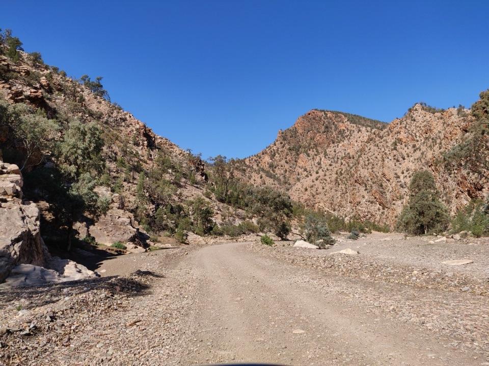
What you reachEdeowie Gorge is a deep ravine draining from Wilpena Pound toward the northwestern plains.
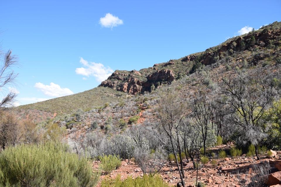
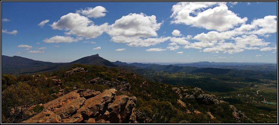
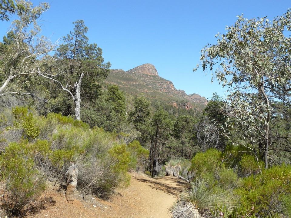
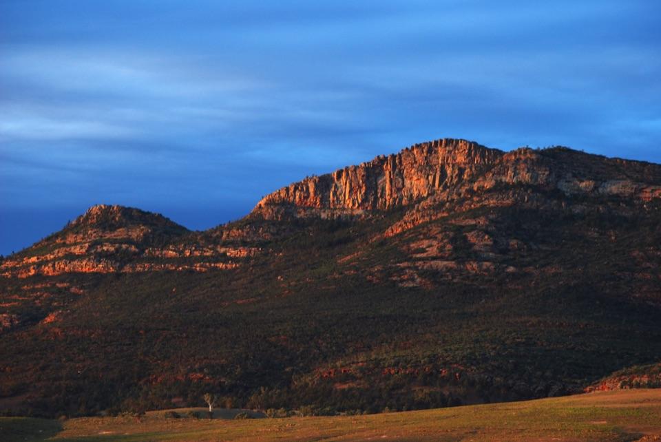
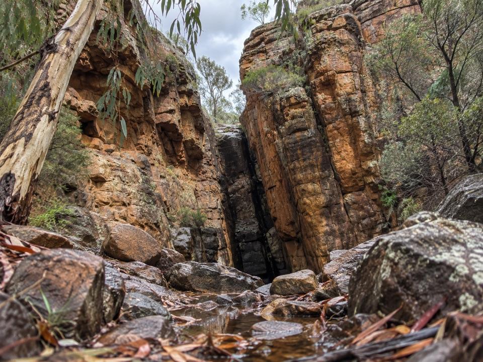
Edeowie Gorge is a deep ravine draining from Wilpena Pound toward the northwestern plains. The long, mostly flat approach reaches steep rock walls at the edge of the Pound, with Malloga Falls in the gorge. They are a pair of adjacent falls that are usually dry. If you want the gorge itself, plan a full day on foot; it isn't a quick pullout from the park drive.
The long approachThe Malloga Falls Hike crosses Pound Gap, passes Hills Homestead and follows the floor of…
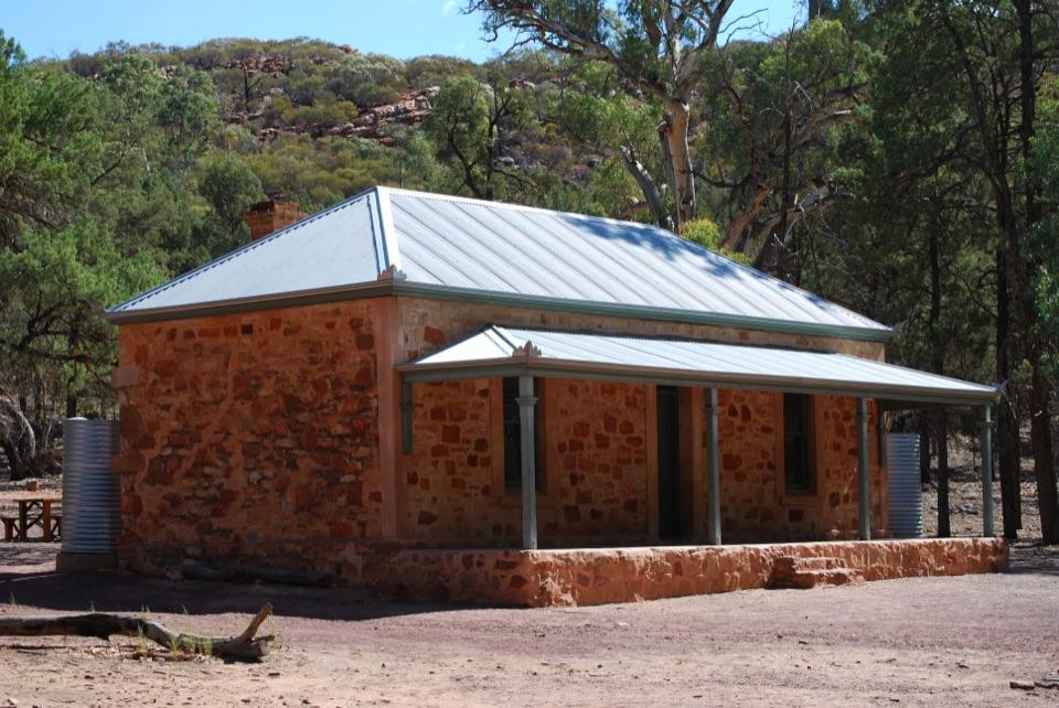
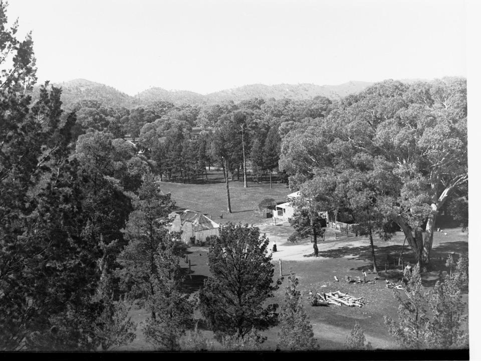
The Malloga Falls Hike crosses Pound Gap, passes Hills Homestead and follows the floor of Wilpena Pound to its northwestern edge. Much of the way is long and fairly flat before the track turns toward the gorge. Parks SA and Walking SA list it at 23.2 km return and nine hours; Walking SA grades it hard. Beyond Cooinda Camp, the track leaves the main St Mary Peak route and can be easy to lose. Experienced hikers must discuss their route with staff at Wilpena Visitor Centre before setting out.
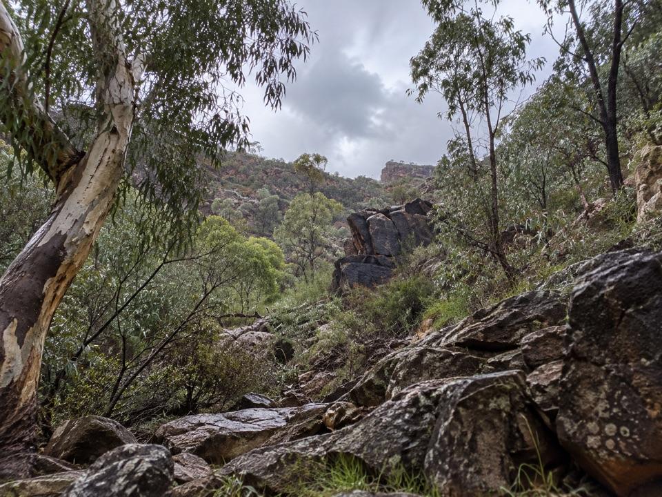
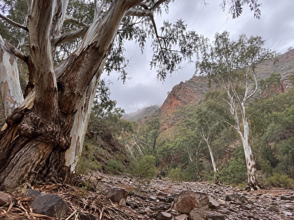
Inside the wallsThe gorge narrows into high rock walls above a rough, boulder-strewn channel.
The gorge narrows into high rock walls above a rough, boulder-strewn channel. The twin falls are usually dry, so treat flowing water as a bonus, not the reason for the walk. For photos, include the cleft and both walls to show how enclosed the channel is. This is a demanding day out, and the trail is closed in December, January and February.
Wildlife
Wildlife in Ikara-Flinders Ranges
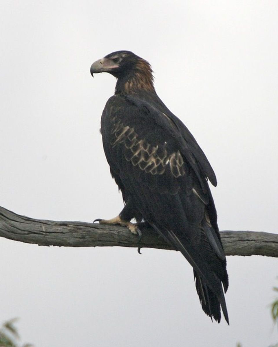 75 sightingsWedge-tailed EagleMost seen around 10 AMSighting map
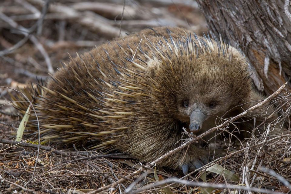 107 sightingsShort-beaked EchidnaMost seen around 6 PMSighting map
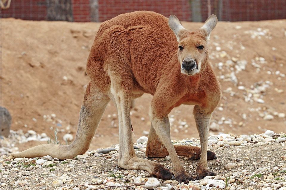 69 sightingsRed KangarooMost seen around 5 PMSighting map
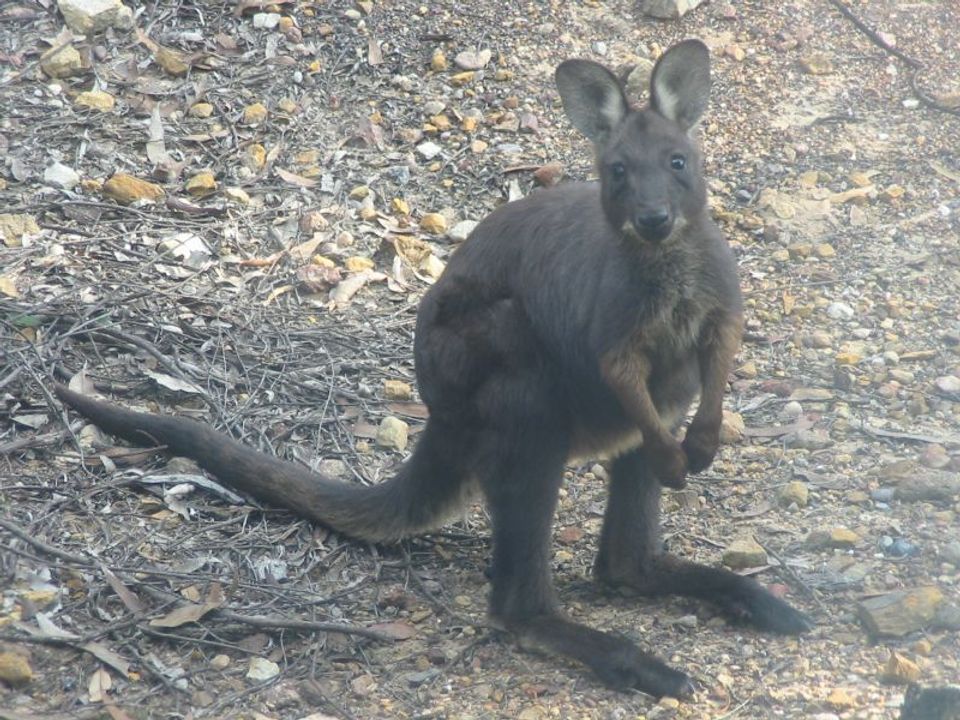 223 sightingsCommon WallarooMost seen around 6 PMSighting map
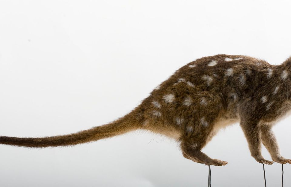 56 sightingsWestern QuollMost seen around 6 PMSighting map
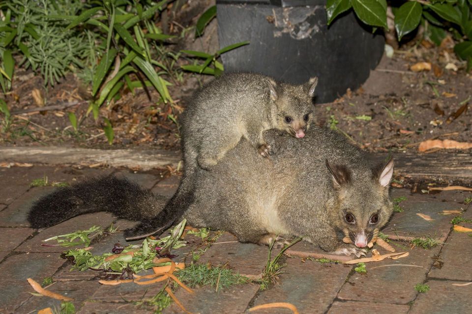 48 sightingsCommon Brushtail PossumMost seen around 6 PMSighting map
Sighting maps show where each species has been reported across Ikara-Flinders Ranges. Wildlife moves, so no sighting is guaranteed.