McCargoe Cove Campground in Isle Royale National Park

Campground · Isle Royale National Park

McCargoe Cove Campground

A remote cove camp with boat access and six shelters.

Type
Campground
Nearest trail
Right here
  • Restrooms
Parkwolf audio tour17 stories across Isle Royale’s roads

Overview

About McCargoe Cove Campground

Why stop

  • Six shelters among 12 sites
  • Private boats can stay overnight at the dock

Heads up

  • Remote access; treat your own drinking water

Map

Where it is

Loading the Isle Royale map
Full map
CampgroundMcCargoe Cove Campground48.08720, -88.70935
Keep this map with you offline in the Parkwolf app

Plan your stop

Before you go

8 active Isle Royale alerts

  • ClosureSeasonal park closure begins November 1Isle Royale closes to public use November 1–April 15 because extreme winter weather threatens visitor safety; the closure extends 4.5 miles into Lake Superior from the island.Official details
  • ClosureCamping closures at east-end campgrounds and Zone 9Camping restrictions are in effect at four east-end campgrounds and Off-trail Camping Zones 9–13 and 30–38 because of increased human-wildlife interactions and food-storage concerns.Official details

See all 8 alerts
A park ranger sits on a dash-mounted phone, talking, as Parkwolf’s Tour Guide plays “Army Cutworm Moths: A Grizzly Bear Buffet” on Grand Loop Road below Dunraven Pass in Yellowstone
Parkwolf Tour GuideThe highest, rockiest slopes around here are a summer buffet for grizzly bears.

Isle Royale Tour Guide

Your drive to McCargoe Cove Campground, narrated.

Parkwolf is a GPS audio tour guide for Isle Royale National Park. As you drive, it chimes in with what’s ahead: hidden gems, upcoming stops, history, geology, and wildlife, right through your car’s speakers.

  • 17 audio storiesacross Isle Royale’s roads, triggered by GPS as you drive
  • Wildlife heatmapsfor Moose, Wolf, Bald Eagle, and 13 more
  • Works offlinemaps, 39 trails, 83 places, and audio download before you lose signal
  • CarPlay readysimple controls built for the drive
★★★★★
“Fantastic app with many points of information… It’s great to just turn on while you’re driving and it gives you an audio tour of the national Park. We love it!!!!”
JMJamesApp Store review
Download Parkwolf on the App StoreGet Parkwolf on Google Play

4.7 from 8,600+ ratings

Guide

More about McCargoe Cove Campground

A backcountry camp on the north shoreMcCargoe Cove Campground is a 12-site backcountry camp on Isle Royale’s north shore, with six…

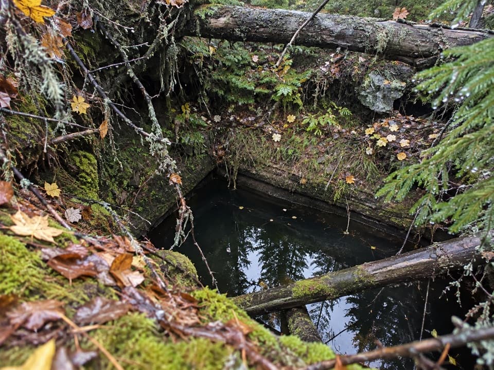
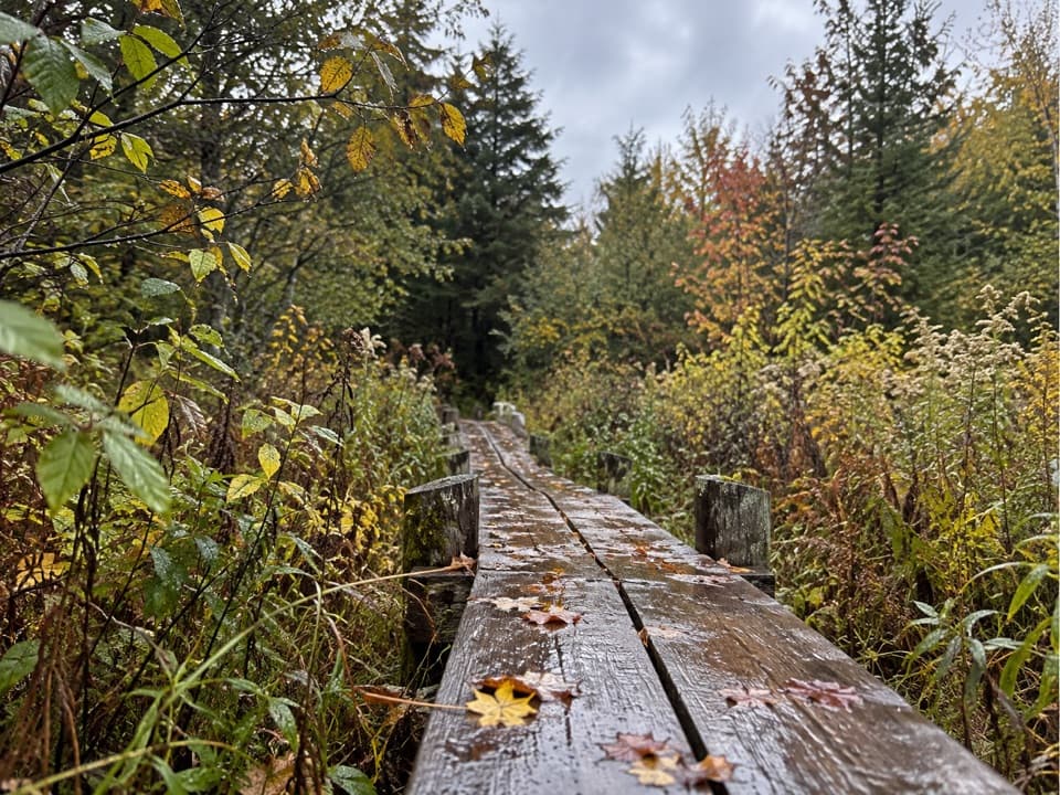
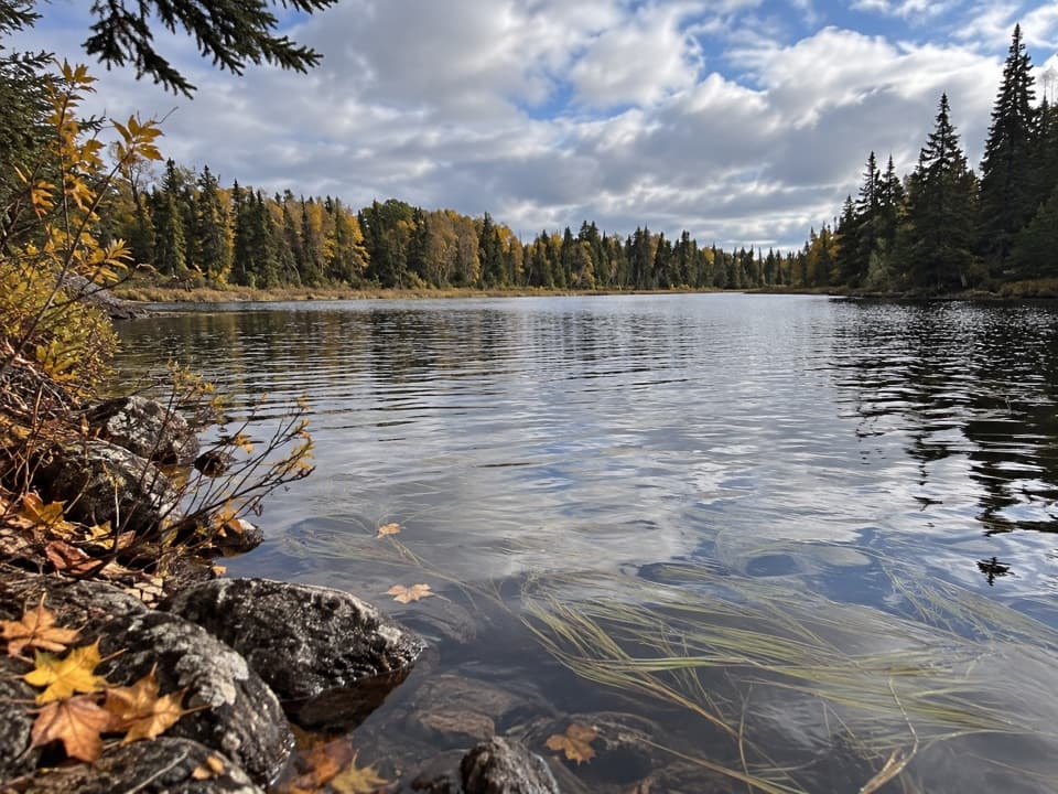
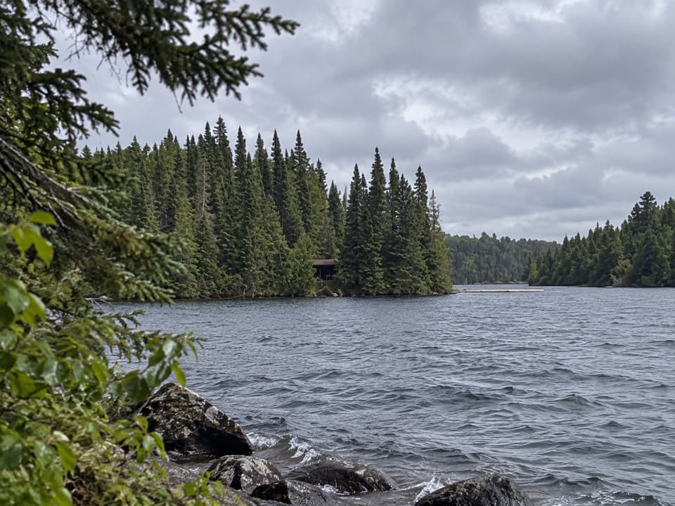
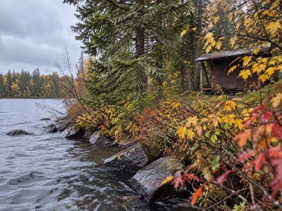
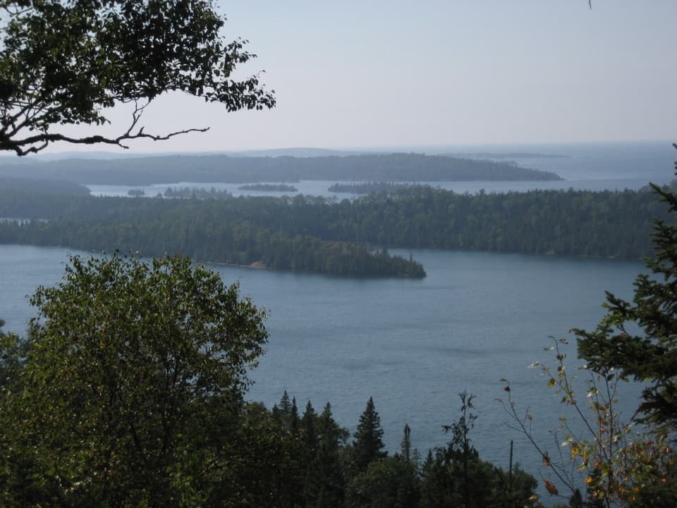
McCargoe Cove Campground is a 12-site backcountry camp on Isle Royale’s north shore, with six shelters as well as tent sites. It makes sense for a trip using the Indian Portage or East Chickenbone trails, or for a private boat, canoe, or kayak. There’s no road access. Private boats can stay overnight at the dock, which has a normal depth of seven feet. From Chickenbone Lake, canoe and kayak access includes a 1.2-mile portage.

Plan for a self-reliant stayIsland services are limited, so bring what you need.

Island services are limited, so bring what you need. Every Isle Royale campground has an outhouse and a water source, but the water at McCargoe isn’t identified as potable; backcountry visitors need to collect, filter, and chemically treat drinking water. Camping requires a permit. From June 1 through Labor Day, the stay limit is three nights. Sites are more likely to fill during the busy season, especially mid-June through August.

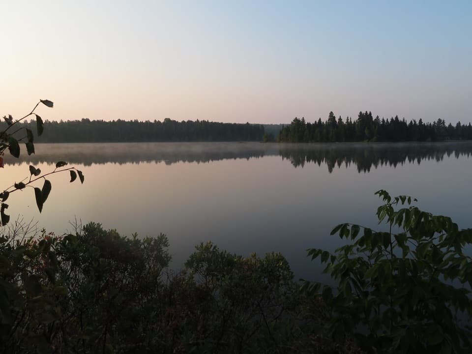
A cove shaped by a fractureMcCargoe Cove is a roughly two-mile inlet that follows a large northeast-trending fracture zone.

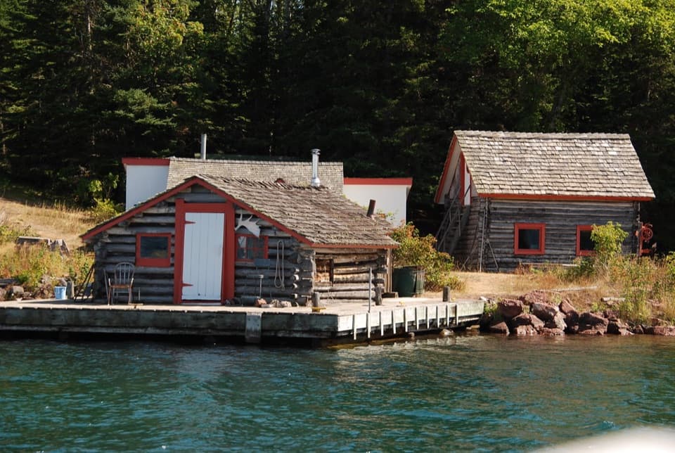
McCargoe Cove is a roughly two-mile inlet that follows a large northeast-trending fracture zone. The campground lies along an ancient portage route and near the Minong Mine, so the cove is part of a landscape shaped by both bedrock and long travel across the island.

Copper mining across the centuriesThe wider cove area includes evidence of Indigenous occupation and the remains of the historic…

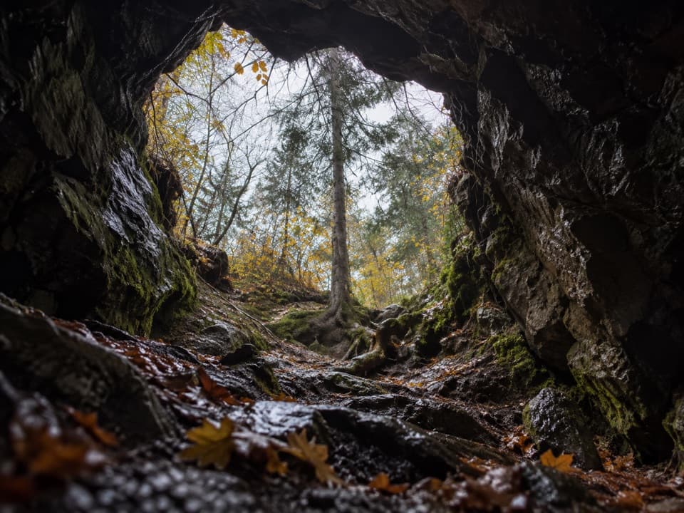
The wider cove area includes evidence of Indigenous occupation and the remains of the historic village of Cove. Indigenous copper mining on Isle Royale began at least 4,500 years ago; more than 1,000 ancient mining pits have been identified on the island, especially around Minong Ridge. Miners cold-hammered copper into tools and ornaments. Mining at Minong continued into the 1880s, and Minong is the Ojibwe name for Isle Royale.

Wildlife

Wildlife in Isle Royale

All Isle Royale wildlife maps

Sighting maps show where each species has been reported across Isle Royale. Wildlife moves, so no sighting is guaranteed.

Keep exploring

Near McCargoe Cove Campground

See it all on the map

Trails nearby

More stops nearby

Parkwolf’s Isle Royale ranking

Top sights in Isle Royale

All 83 places
  1. 1Rock Harbor LighthouseSight
  2. 2Scoville PointSight
  3. 3Lookout LouiseSight
  4. 4Edisen FisherySight
  5. 5Mount FranklinSight
  6. 6Ojibway TowerSight

Take Parkwolf to Isle Royale.

The audio tour guide for the drive, plus offline maps, trails, and wildlife heatmaps for when the signal drops.

4.7 from 8,600+ ratings

Download Parkwolf on the App StoreGet Parkwolf on Google Play