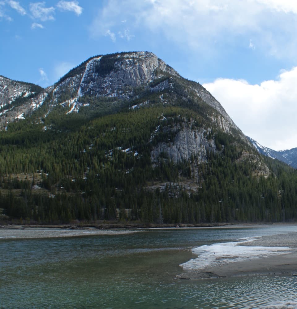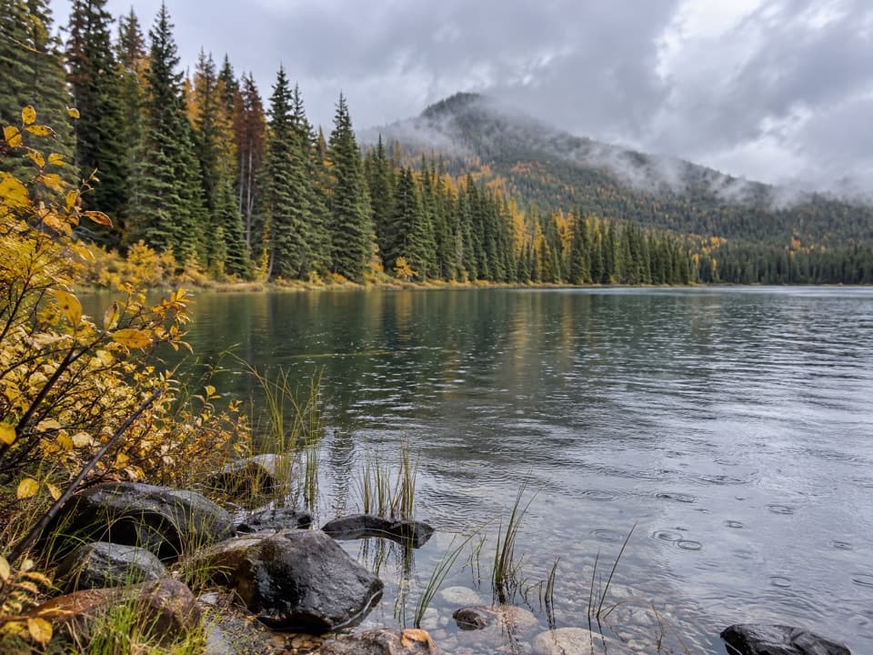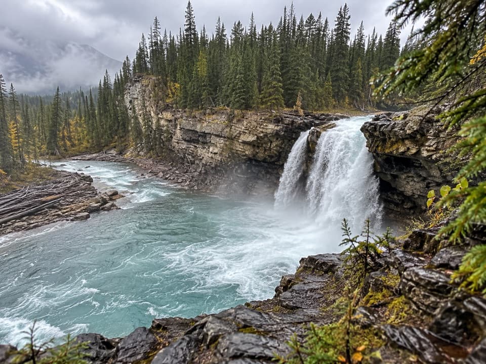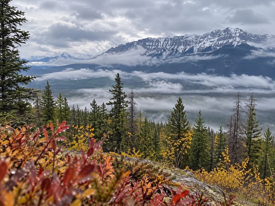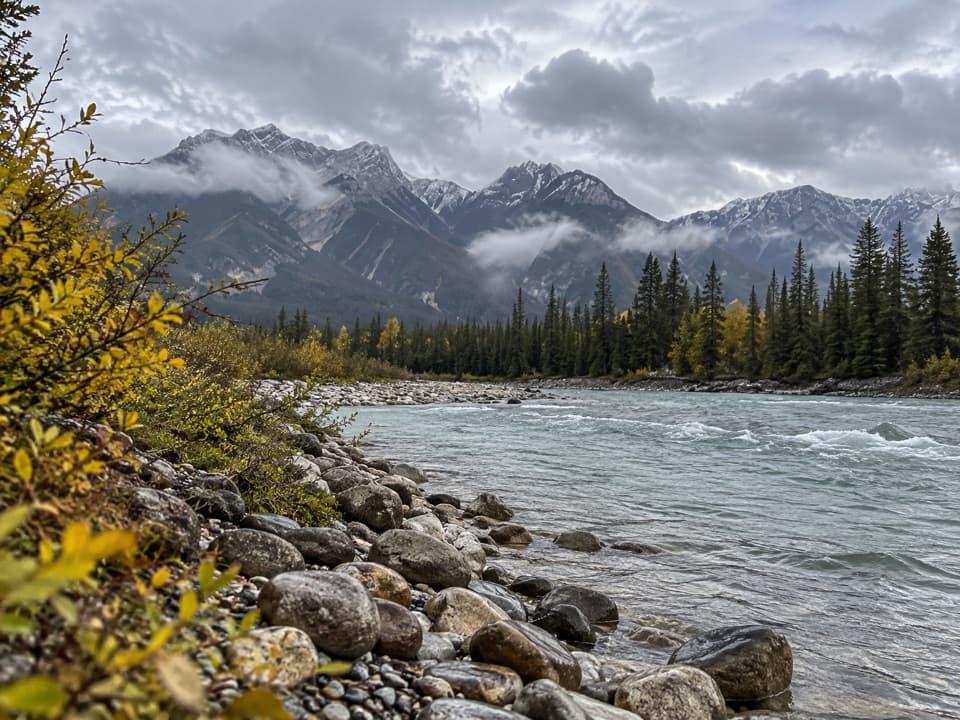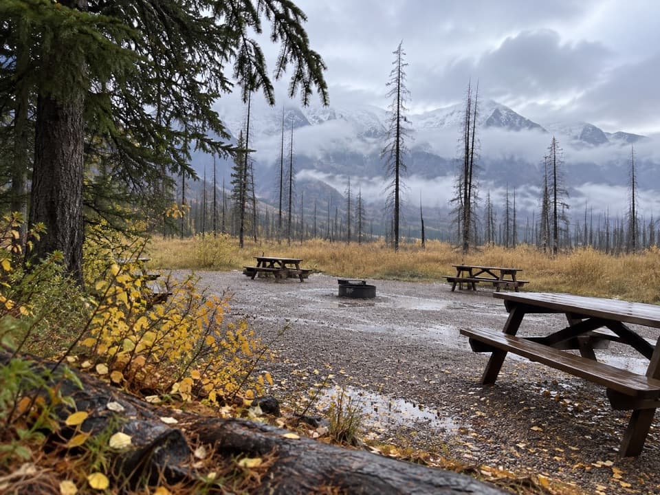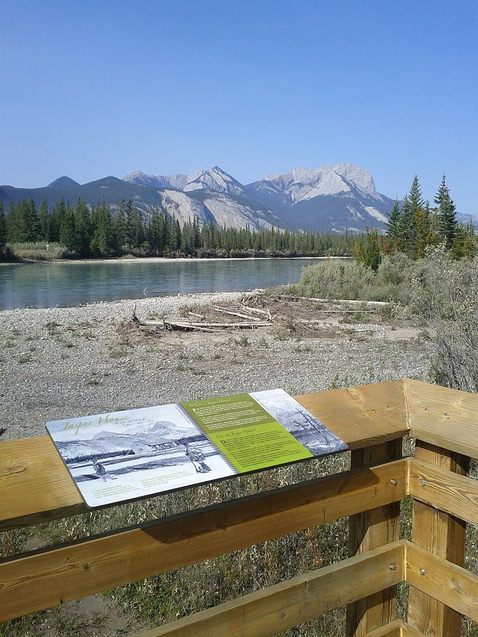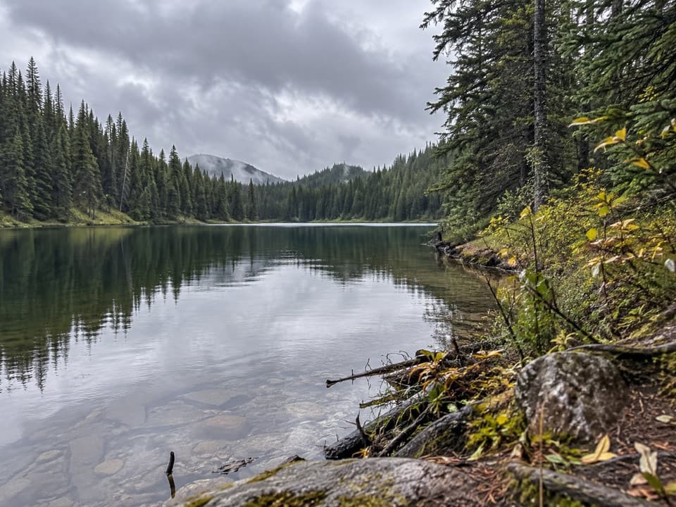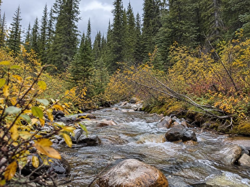
Vine Creek Trail in Jasper National Park

Jasper National Park, AB

Vine Creek Trail

A rough, remote creek climb with Roche de Smet views

Length
16.4km
Time
9hr
Elev. change
681m
Difficulty
Challenging
  • Dogs allowed
  • High point 1,734 m

Hear the audio tour

Celestine Lake Road: Plan the Access

Overview

About Vine Creek Trail

Why go

  • The upper valley opens toward Roche de Smet.
  • A remote creek-valley route with a genuine backcountry feel.

Heads up

  • Unmaintained tread and uncertain creek-crossing infrastructure.
  • A long, steep outing on a rough seasonal access road.

Map & elevation

The route

Loading the Jasper map
Full map
Elevation1,053–1,734 m
TrailheadVine Creek Trailhead, Celestine Lake Road53.07998, -118.08393
Keep this map with you offline in the Parkwolf app

Plan your hike

Before you go

Parking

Use the small roadside pullout at Vine Creek Trailhead, just beyond the Vine Creek bridge on Celestine Lake Road. The road is rough, seasonal and timed one-way; high-clearance vehicles are recommended, while low-clearance vehicles, trailers and RVs are not suitable.

Safety

The old tread is unmaintained and can be hard to follow. Two creek crossings are reported, but bridge status is unconfirmed; expect possible fords and turn back if water is unsafe.

4 active Jasper alerts

  • ClosureCavell Road and Maligne Canyon closedCavell Road and Maligne Canyon are closed; do not plan access to these areas.Official details
  • Caution93A construction restricts cyclistsConstruction on Highway 93A between the north end of 93N and Marmot Road means single-lane vehicle access and no cycling from November 2026 through spring 2027.Official details
See all 4 alerts
A park ranger sits on a dash-mounted phone, talking, as Parkwolf’s Tour Guide plays “Army Cutworm Moths: A Grizzly Bear Buffet” on Grand Loop Road below Dunraven Pass in Yellowstone
Parkwolf Tour GuideThe highest, rockiest slopes around here are a summer buffet for grizzly bears.

Jasper Tour Guide

Your drive to Vine Creek Trail, narrated.

Parkwolf is a GPS audio tour guide for Jasper National Park. As you drive, it chimes in with what’s ahead: hidden gems, upcoming stops, history, geology, and wildlife, right through your car’s speakers.

See the Jasper audio tour

Recorded for this trailhead

Celestine Lake Road: Plan the Access
0:00 / 0:27
“You're approaching the access road for Celestine Lake and the North Boundary trails. This is a planned backcountry outing: the trailheads are farther along a rough, seasonal road with timed one-way travel.”

Plays as you drive up to this trailhead in the Parkwolf Jasper Tour Guide.

More stories near here in the app

  • The Woodpecker’s Rectangular Clue
  • The Frog That Freezes Through Winter
  • A Snake Robot on Athabasca Glacier
  • Morro Peak: A Steep Summit Climb
  • 170 audio storiesacross Jasper’s roads, triggered by GPS as you drive
  • Wildlife heatmapsfor Grizzly Bear, Caribou, Gray Wolf, and 13 more
  • Works offlinemaps, 74 trails, 189 places, and audio download before you lose signal
  • CarPlay readysimple controls built for the drive
★★★★★
“Fantastic app with many points of information… It’s great to just turn on while you’re driving and it gives you an audio tour of the national Park. We love it!!!!”
JMJamesApp Store review
Download Parkwolf on the App StoreGet Parkwolf on Google Play

4.7 from 8,600+ ratings

Trail guide

Hiking Vine Creek Trail

Route and effortVine Creek is a remote backcountry out-and-back from Celestine Lake Road.

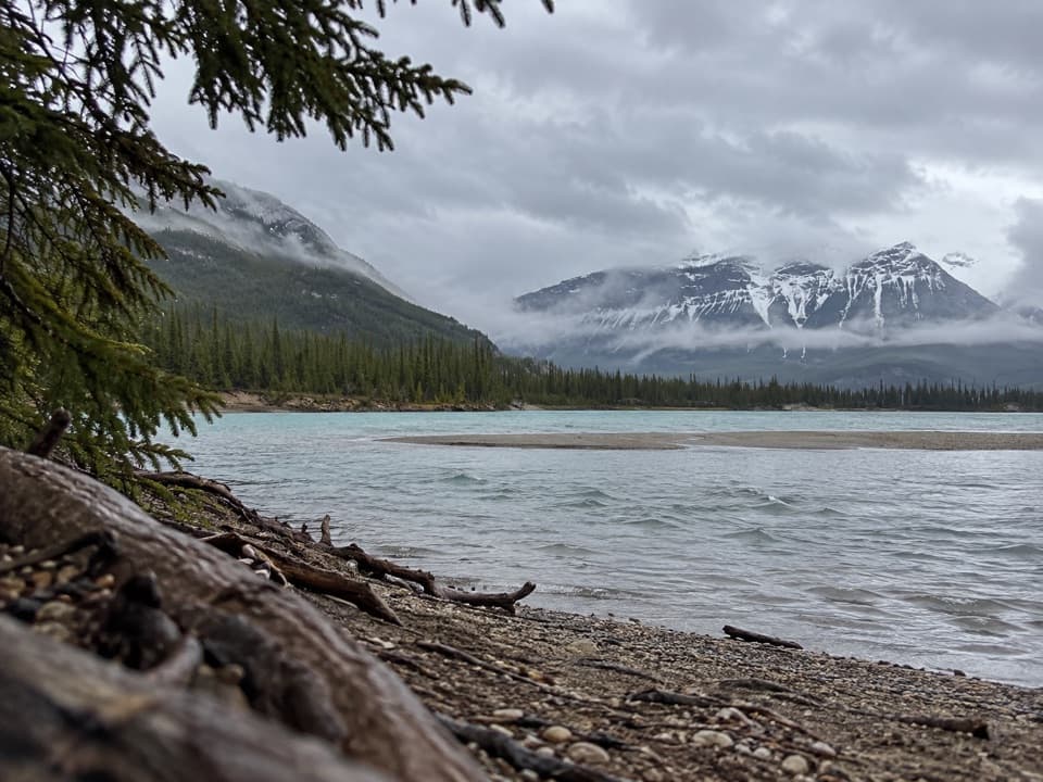
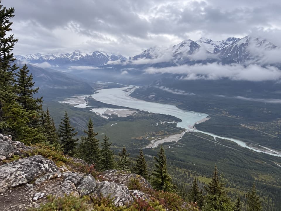
Vine Creek is a remote backcountry out-and-back from Celestine Lake Road. The mapped core follows old tread 8.2 km each way to the upper-valley opening near a rough camp; returning the same way makes 16.4 km (10.2 mi) round trip. Allow about 9 hours for a steep, hard day with two creek crossings. Forest lines most of the climb, then the valley opens toward Roche de Smet.

Tread and crossingsThis historic route is unmaintained and the tread may be indistinct.

This historic route is unmaintained and the tread may be indistinct. Accounts describe two creek crossings but disagree about bridges; their present condition is not established. Plan for fords and turn back if either crossing is unsafe. The route is absent from current park trail materials, so do not expect a maintained or signed hiking trail beyond the access point.

Distance and turnaroundAn older local guide gives 8.2 km without saying whether that is one way or round trip.

An older local guide gives 8.2 km without saying whether that is one way or round trip. The mapped core here uses the 8.2 km physical approach, supported by detailed route descriptions; it returns along the same line. A longer walk continues toward Vine Pass at about 9 km each way and is described as overgrown. That extension and the separate Roche de Smet scramble are not part of this route.

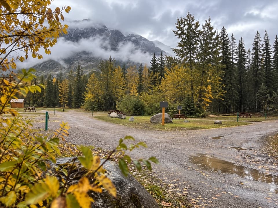
Access and dogsStart at Vine Creek Trailhead beside the bridge on Celestine Lake Road.

Start at Vine Creek Trailhead beside the bridge on Celestine Lake Road. The road is rough and seasonal, with timed one-way travel; high clearance is recommended, and low-clearance vehicles, trailers and RVs are unsuitable. Check current road access before driving in. Dogs may accompany hikers on leash under park rules.

Wildlife

Wildlife in Jasper

All Jasper wildlife maps

Sighting maps show where each species has been reported across Jasper. Wildlife moves, so no sighting is guaranteed.

Keep exploring

Near Vine Creek Trail

See it all on the map

Trails that start nearby

Places near the trailhead

Parkwolf’s Jasper ranking

Top-rated trails in Jasper

All 74 trails
  1. 1Skyline TrailChallenging · 44.1 km
  2. 2Cavell Meadows TrailModerate · 6.4 km
  3. 3Sulphur Skyline TrailChallenging · 8.8 km
  4. 4Bald Hills TrailChallenging · 10.4 km
  5. 5Wilcox Pass TrailChallenging · 6.8 km
  6. 6Tonquin Valley TrailChallenging · 43.1 km

Take Parkwolf to Jasper.

The audio tour guide for the drive, plus offline maps, trails, and wildlife heatmaps for when the signal drops.

4.7 from 8,600+ ratings

Download Parkwolf on the App StoreGet Parkwolf on Google Play