Moderate

Morro Peak Trail

Short, steep scramble to big Athabasca River valley views.
Morro Peak Trail, Jasper National Park
Distance5.3 mi
Typical time5.5 hr
DifficultyModerate
PetsAllowed

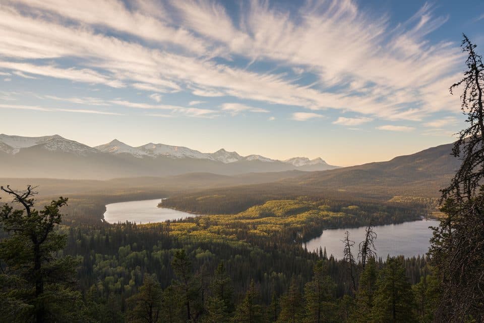
Morro Peak is a quick-hit summit just east of town that trades a steady grind for huge payoff. Expect a moderate out‑and‑back of about 8.5 km/5.3 mi total with roughly 1,800–2,300 ft (550–700 m) of gain, depending on exactly where you start. Crowd levels are usually moderate by Jasper standards, and the views over the Athabasca River Valley are the headline act.

Route overview

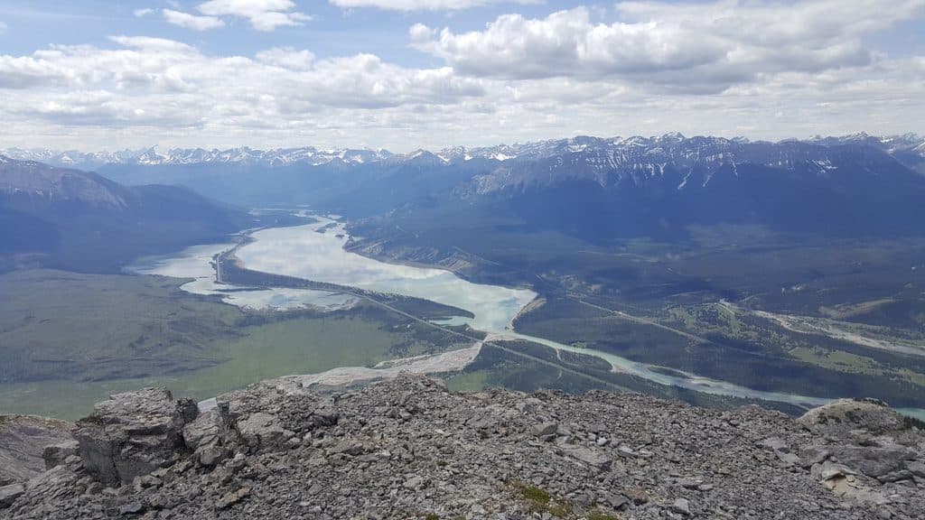
Start from the signed Overlander trailhead near the Snaring River (there’s a Parks Canada kiosk). Follow the Overlander Trail, watching for a small wooden sign on a tree pointing to Morro Peak. A notorious cue: where the Overlander has a “Don’t Turn Left” sign, you actually do turn left for the Morro route. From there, an obvious path climbs and wraps around the west and then southwest side to gain the summit area. The upper terrain is an easy scramble on rocky ground—straightforward if you stay on the standard line.

What you’ll see

Limestone outcrops and cliff bands give the upper mountain a rugged feel (it’s also a known climbing area). From the ridge and summit, you’ll get sweeping looks at the Athabasca River and broad Rockies panoramas, including landscapes shaped by recent wildfire activity. Keep an eye out for bighorn sheep along the route.

Difficulty & who it’s for

This is a sustained climb with brief easy-scramble sections. It’s ideal for hikers with moderate fitness or newer scramblers who want a first Jasper summit. Older kids used to steeper trails will do fine; tiny legs won’t love the grade. Signage is only so‑so, so pay attention at junctions.

Tips

  • Footing: Wear hiking boots; the upper ridge has loose rock. Poles help on the descent.
  • Navigation: Stay on the obvious beaten line to keep difficulty in the easy‑to‑moderate band.
  • Wildlife: Dogs must stay leashed. You may encounter bighorn sheep; bears are possible—carry the usual precautions.
  • Day hike only: No camping along this route.

Best time to hike

June–September is the sweet spot for snow‑free travel and reliable weather. Spring and fall can be excellent with cooler temps and fewer people, but expect lingering snow in early spring. Start early for cooler temps, calmer winds up high, and quieter summit time.

Pros

  • Fewer crowds than Jasper’s marquee summits yet equally big views
  • Quick drive from town with a signed Parks Canada trailhead

Cons

  • Junction signage can be confusing (watch for the counterintuitive left turn)
  • Loose rock near the top; not great for very young kids

Parking

Park at the Overlander trailhead off Yellowhead Highway (AB‑16) near the Snaring River; look for the Parks Canada kiosk and trail sign.

Caution

Easy scramble with loose rock on the upper ridge; pay close attention at junctions (including the counterintuitive left turn) and be prepared for wildlife encounters.

The Parkwolf tour guide sitting on a phone mounted in a car

Parkwolf Tour Guide

Like a tour guide in your car.

Bring Jasper trail research into the car, with offline maps and stories that play as you drive.Download Parkwolf on the App Store