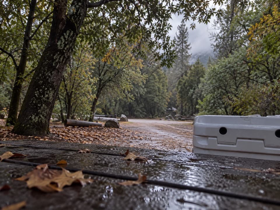
Kanawyer Trail (Monarch Wilderness) in Kings Canyon National Park

Kings Canyon National Park, CA

Kanawyer Trail (Monarch Wilderness)

A remote drop through three giant sequoia groves.

Length
11.1mi
Time
8hr
Elev. change
3,110ft
Difficulty
Challenging
  • High point 7,635 ft
Parkwolf audio tour55 stories across Kings Canyon’s roads

Overview

About Kanawyer Trail (Monarch Wilderness)

Why go

  • Links three giant sequoia groves on one route
  • A striking change from high forest to canyon vegetation

Heads up

  • One-way logistics require a shuttle
  • Unmaintained tread can be difficult to follow

Map & elevation

The route

Loading the Kings Canyon map
Full map
Elevation4,524–7,635 ft
TrailheadKennedy Meadow Trailhead36.76698, -118.83268
Keep this map with you offline in the Parkwolf app

Plan your hike

Before you go

Parking

Start at Kennedy Meadow Trailhead, off Burton Road past Quail Flat. The Forest Service map directs drivers along Burton Pass Road, then Forest Road 13S26 for about 1.5 miles to the signed trailhead. The trail ends on Highway 180 near Cedar Grove, so arrange a pickup or second vehicle.

Safety

The trail is unmaintained and can be hard to follow. It drops sharply to Boulder Creek, crosses the creek, then climbs steeply out along Rattlesnake Creek.

8 active Kings Canyon alerts

  • CautionStage 1 fire restrictionsStage 1 fire restrictions are active because high fire danger raises the risk of accidental human-caused fires that could threaten visitors and employees.Official details
  • ClosureGrant Grove trails and areas closed for prescribed fireSome trails and areas around Grant Grove and the General Grant Tree are closed during an active prescribed burn; stay out until crews clear hazards and reopen them.Official details
See all 8 alerts
A park ranger sits on a dash-mounted phone, talking, as Parkwolf’s Tour Guide plays “Army Cutworm Moths: A Grizzly Bear Buffet” on Grand Loop Road below Dunraven Pass in Yellowstone
Parkwolf Tour GuideThe highest, rockiest slopes around here are a summer buffet for grizzly bears.

Kings Canyon Tour Guide

Your drive to Kanawyer Trail (Monarch Wilderness), narrated.

Parkwolf is a GPS audio tour guide for Kings Canyon National Park. As you drive, it chimes in with what’s ahead: hidden gems, upcoming stops, history, geology, and wildlife, right through your car’s speakers.

See the Kings Canyon audio tour

More stories near here in the app

  • Wild Sheep Return to the Divide
  • Two Kinds of Giant
  • A Ride in the Lumber Flume
  • The Fungi Feeding the Trees
  • 55 audio storiesacross Kings Canyon’s roads, triggered by GPS as you drive
  • Wildlife heatmapsfor Black Bear, Mule Deer, Marmot, and 13 more
  • Works offlinemaps, 77 trails, 61 places, and audio download before you lose signal
  • CarPlay readysimple controls built for the drive
★★★★★
“…The kids and my husband and I all agree that the narration really added to our experience driving through the parks. We learned so much about the history and the flora & fauna.”
JessestblondeApp Store review
Download Parkwolf on the App StoreGet Parkwolf on Google Play

4.7 from 8,600+ ratings

Trail guide

Hiking Kanawyer Trail (Monarch Wilderness)

What this route demandsKanawyer Trail is an 11.

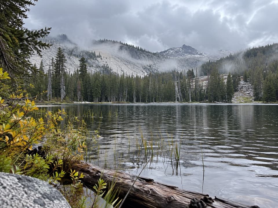
Kanawyer Trail is an 11.1-mile, one-way point-to-point hike from Kennedy Meadow Trailhead to Highway 180 near Cedar Grove. It passes through Evans, Monarch and Agnew sequoia groves, but it is a remote, full-day route, not a short grove walk. The Forest Service says the trail is unmaintained and can be hard to follow. I'd choose it only if you have transportation arranged at both ends and are comfortable navigating faint tread. A route account describes it as a long day; allow about eight hours.

From Kennedy Meadow to Boulder CreekThe route heads east from Kennedy Meadow, follows an old road north, then climbs a ridge before…

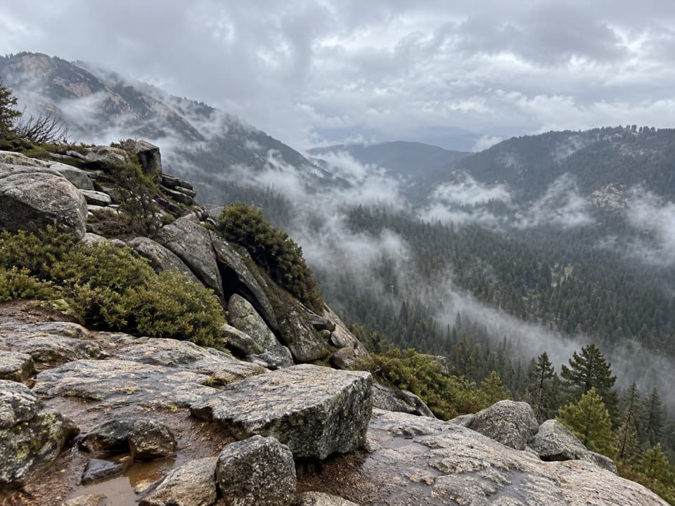
The route heads east from Kennedy Meadow, follows an old road north, then climbs a ridge before dropping toward Evans Grove. Kanawyer meets the Evans Grove Loop twice; stay on Kanawyer at both junctions. After the second, a short ridge leads to the Monarch Wilderness boundary and a sharp descent toward Boulder Creek, about 1.2 miles below. The creek is the lowest point of the route at roughly 4,800 feet.

Climbing out, then back downAfter Boulder Creek, the trail climbs the north side of Rattlesnake Creek.

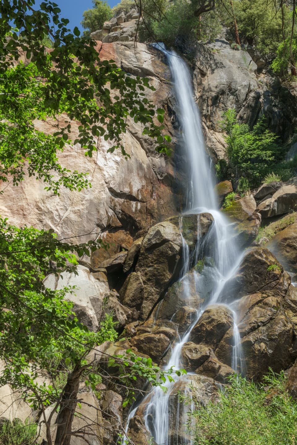
After Boulder Creek, the trail climbs the north side of Rattlesnake Creek. The grade eases around 6,400 feet, then the route continues through Monarch and Agnew groves. A steep climb reaches the Deer Meadow Trail junction; from there the route is mostly downhill, with a few short climbs, toward Lightning Creek. The final stretch heads east to Highway 180, with another water source described as seasonal.

A changing forestThe higher country holds firs, Jeffrey, ponderosa and sugar pines, incense cedar and giant…

The higher country holds firs, Jeffrey, ponderosa and sugar pines, incense cedar and giant sequoias. Lower in the canyon, the forest shifts to oak, single-leaf pinyon, mountain mahogany, yucca and quaking aspen, with summer wildflowers. Evans Grove also has an old railroad bed to look for as you pass through.

Getting in and outStart at Kennedy Meadow Trailhead, off Burton Road past Quail Flat; the Forest Service map…

Start at Kennedy Meadow Trailhead, off Burton Road past Quail Flat; the Forest Service map directs drivers along Burton Pass Road and Forest Road 13S26 for about 1.5 miles to the signed trailhead. The route ends on Highway 180 near Cedar Grove. This is not a loop, so arrange a pickup or second vehicle before starting.

Wildlife

Wildlife in Kings Canyon

All Kings Canyon wildlife maps

Sighting maps show where each species has been reported across Kings Canyon. Wildlife moves, so no sighting is guaranteed.

Keep exploring

Near Kanawyer Trail (Monarch Wilderness)

See it all on the map

Trails that start nearby

Places near the trailhead

Parkwolf’s Kings Canyon ranking

Top-rated trails in Kings Canyon

All 77 trails
  1. 1Rae Lakes LoopChallenging · 41.4 mi
  2. 2Mist Falls TrailModerate · 8 mi
  3. 3Zumwalt Meadow TrailEasy · 1.5 mi
  4. 4Roaring River Falls TrailEasy · 0.3 mi
  5. 5Panoramic Point TrailEasy · 0.5 mi
  6. 6Big Stump Loop TrailEasy · 1.6 mi

Take Parkwolf to Kings Canyon.

The audio tour guide for the drive, plus offline maps, trails, and wildlife heatmaps for when the signal drops.

4.7 from 8,600+ ratings

Download Parkwolf on the App StoreGet Parkwolf on Google Play