Easy

Valleyview Trail

Short, steep stroll to big Columbia Valley views from Radium
Valleyview Trail, Kootenay National Park
Distance1.6 mi
Typical time45 min
DifficultyEasy
PetsAllowed

Overview

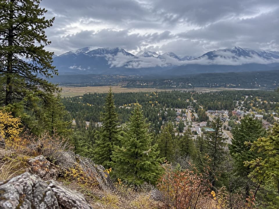
A bite‑size hike with a big payoff. Valleyview climbs quickly from the benchlands above Radium Hot Springs to overlooks across the Columbia Valley. It’s officially rated Easy, but don’t be fooled—there are short, steep pitches and even a stair section. Expect forest‑to‑grassland transitions and broad vistas that make this a perfect leg‑stretcher if you’re camped at Redstreak or passing through town.

Distance and effort

Plan on 1.6 miles round trip (1.3 km one way) with roughly 430 ft/130 m of climb one way and a touch of descent. Most people treat it as an out‑and‑back to the viewpoints, though it also functions as a connector between Redstreak Campground and the visitor centre in Radium. Timewise, figure about 45 minutes return if you’re moving steadily, longer if you linger at the lookouts.

Route and access

You can start from multiple spots: near the Redstreak Campground entrance, the Valleyview Picnic Area, a small pullout about 1 km before the campground entrance, or behind the Kootenay National Park Visitor Centre. The path threads Douglas‑fir forest and open grassland, then tilts up to the rim for those Columbia Valley views. Surfaces are natural singletrack with a stair section near the town/visitor‑centre side.

What you’ll see

The stars here are the sweeping views over the Columbia Valley—big skies, layered ridges, and the feeling of standing above it all with minimal time investment. Keep an eye out for wildlife; hikers commonly report bighorn sheep and deer along this slope.

Best time to hike

Accessible most of the year. In warm months, the viewpoints are exposed—go early or late for cooler temps and softer light, and bring water. In winter or shoulder seasons, expect icy or slick sections; traction helps on the steeper grades and stairs. Mosquitoes can be pesky in season, especially near sheltered forested stretches.

Tips

  • Footwear with good grip pays off on the steeper bits and stairs.
  • Dogs are allowed on leash; give wildlife plenty of space.
  • Cell service is spotty to nonexistent—download maps before you go.

Alternatives nearby

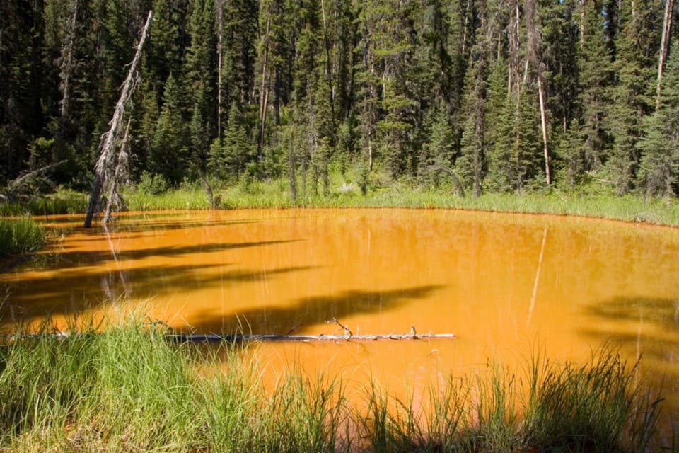
Craving more variety with similar time commitment? Short walks like Marble Canyon (about 0.9 km one way) or the Paint Pots (about 1 km one way) offer different scenery—slot‑like canyon bridges in one, colorful mineral springs in the other. There’s also a longer option linking the two areas (~2.9 km one way).

Pros

  • Multiple trailheads let you start from town, a picnic area, or the campground
  • Frequent bighorn sheep sightings along this slope

Cons

  • Short but steep with stair sections that can feel slippery when wet or icy
  • Mosquitoes can be persistent in season despite the open viewpoints

Parking

Park at the Redstreak Campground entrance, the Valleyview Picnic Area, the pullout ~1 km before the campground entrance, or behind the Kootenay National Park Visitor Centre.

Caution

Steep grades and a stair section; can be slick with snow or ice in cold weather. Limited cell service. Keep dogs leashed and give wildlife—especially bighorn sheep—ample space.

The Parkwolf tour guide sitting on a phone mounted in a car

Parkwolf Tour Guide

Like a tour guide in your car.

Bring Kootenay trail research into the car, with offline maps and stories that play as you drive.Download Parkwolf on the App Store