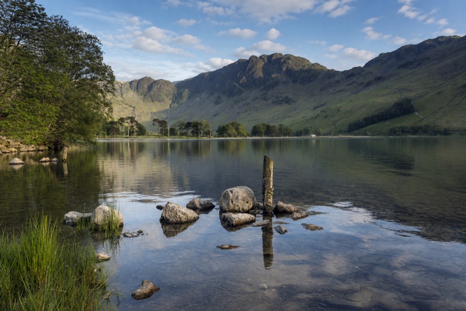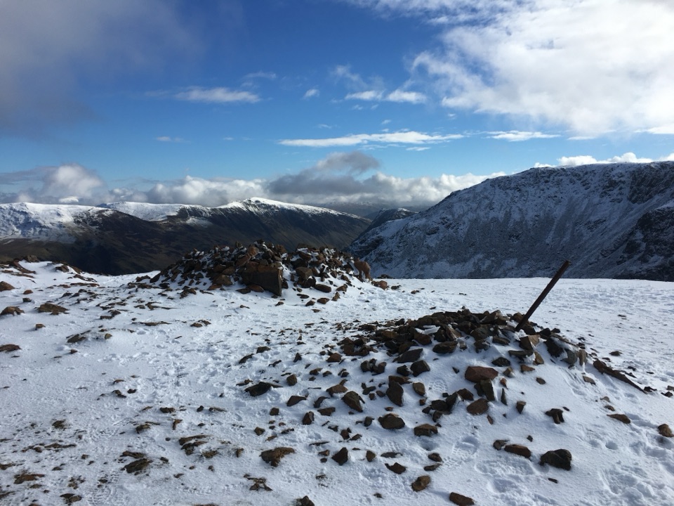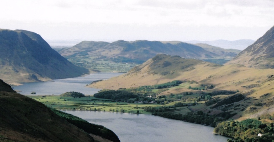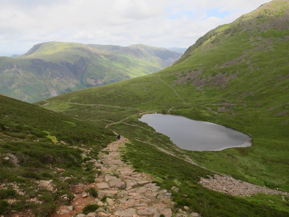
Bleaberry Tarn, Red Pike and Dodd in Lake District National Park

Lake District National Park, EN

Bleaberry Tarn, Red Pike and Dodd

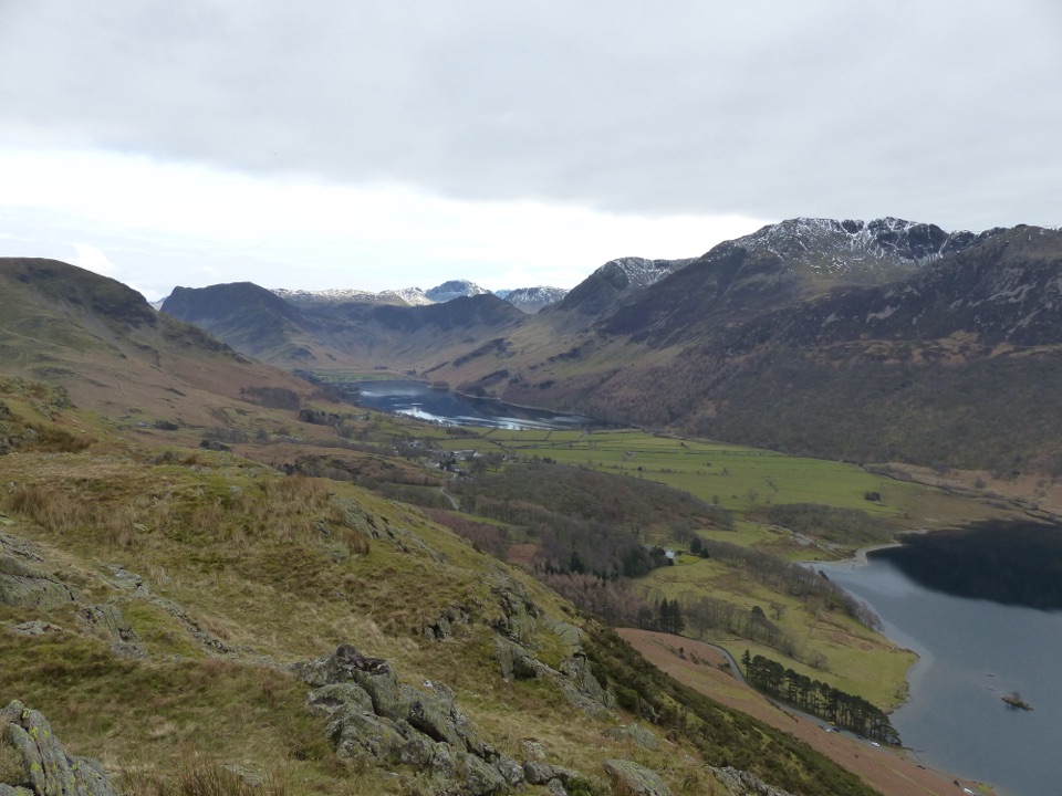
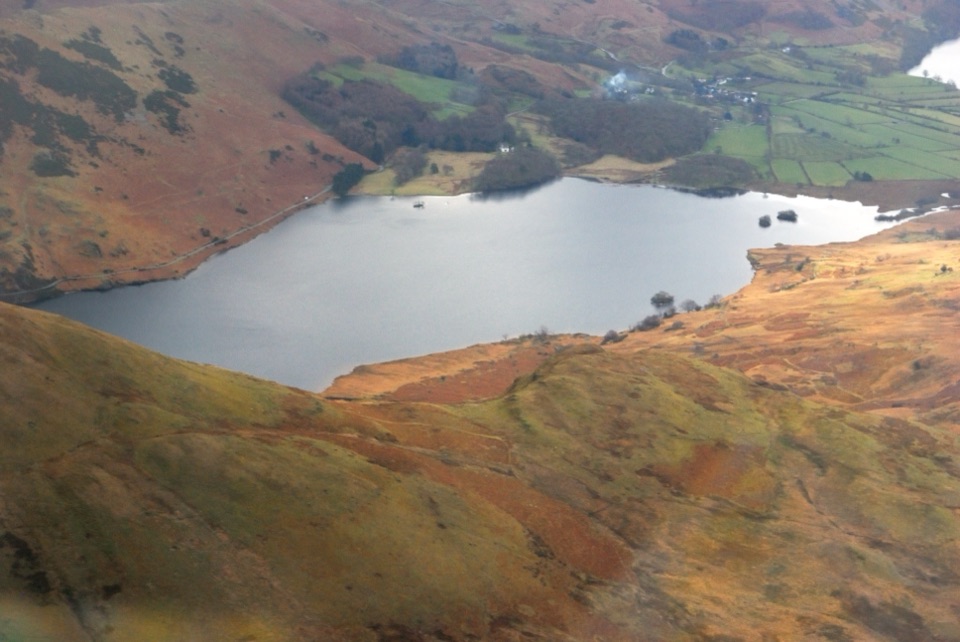
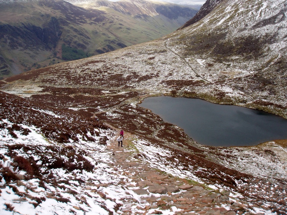
Corrie tarn, loose red scree, two summits above Buttermere

Photo: Wikimedia Commons
Length
7.2km
Time
4hr
Elev. change
639m
Difficulty
Challenging
  • Dogs allowed
  • High point 740 m
  • #95 of 265 in Lake District

Hear the audio tour

Buttermere: Lakeshore and Village

Overview

About Bleaberry Tarn, Red Pike and Dodd

This is an out-and-back from Buttermere village, about 4.5 miles or 7.2 km with the full return included, taking in two summits on one excursion. Ascent is in the region of 725 m, so treat it as a short walk with a big climb rather than an easy afternoon stroll. Start and finish are by the Bridge Hotel.

Why go

  • Two summits and a distinctive corrie tarn in one outing
  • Red scree and wide lake views make the route memorable

Heads up

  • Short distance hides a steep 725 m climb
  • Loose scree, boggy ground and poor visibility complicate descent

Map & elevation

The route

Loading the Lake District map
Full map
Elevation101–740 m
TrailheadButtermere village (by the Bridge Hotel)54.54131, -3.27674
Keep this map with you offline in the Parkwolf app

Plan your hike

Before you go

Parking

Use the signed National Trust car park on the outskirts of Buttermere or the Lake District National Park Authority car park behind the Bridge Hotel, then walk to the village access beside the Bridge Hotel. Parking in the village is limited and fills early on busy days.


Best time to go

Clear weather makes a real difference here, both for finding the line above the tarn and for staying comfortable on the steep upper ground. Morning gives the best light on the lakes from the lower path, while the west-facing summits come into their own later in the day. Allow more time than the distance suggests, since the climb is relentless and the descent needs care.

Safety

The Red Pike approach is steep loose scree and the upper ground is exposed with crags nearby. Expect slippery rock steps, rough bog, small stream crossings and poor wayfinding in cloud. There is no dependable water above Bleaberry Tarn. Keep dogs close around livestock and take extra care descending the scree in wet or poor-visibility conditions.

8 active Lake District alerts

  • ClosureChapel Stile footpath closed for retaining-wall riskPart of Footpath 543030 between Chapel Stile and Baysbrown campsite is closed because a retaining wall beside the path could collapse and material it supports could fall across the footpath.Official details
  • ClosureStanley Ghyll Lower Falls footpath closed for rockfallThe section of Footpath 408037 leading towards Stanley Ghyll Lower Falls is closed because severe rockfall damage has made the path unstable and further rockfall remains a danger.Official details
See all 8 alerts
A park ranger sits on a dash-mounted phone, talking, as Parkwolf’s Tour Guide plays “Army Cutworm Moths: A Grizzly Bear Buffet” on Grand Loop Road below Dunraven Pass in Yellowstone
Parkwolf Tour GuideThe highest, rockiest slopes around here are a summer buffet for grizzly bears.

Lake District Tour Guide

Your drive to Bleaberry Tarn, Red Pike and Dodd, narrated.

Parkwolf is a GPS audio tour guide for Lake District National Park. As you drive, it chimes in with what’s ahead: hidden gems, upcoming stops, history, geology, and wildlife, right through your car’s speakers.

Recorded for this trailhead

Buttermere: Lakeshore and Village
0:00 / 1:10
“You're nearing Buttermere village, where a low-level lakeshore walk puts you right beneath the high fells.”

Plays as you drive up to this trailhead in the Parkwolf Lake District Tour Guide.

More stories near here in the app

  • Crummock Water: Cinders and Grasmoor
  • Newlands Hause: Knott Rigg and Ard Crags
  • Gatesgarth: Haystacks and the Mountain Tarns
  • Loweswater: Mellbreak and Scale Force
  • 298 audio storiesacross Lake District’s roads, triggered by GPS as you drive
  • Wildlife heatmapsfor Red Deer, Eurasian Otter, Osprey, and 13 more
  • Works offlinemaps, 265 trails, 89 places, and audio download before you lose signal
  • CarPlay readysimple controls built for the drive
★★★★★
“Fantastic app with many points of information… It’s great to just turn on while you’re driving and it gives you an audio tour of the national Park. We love it!!!!”
JMJamesApp Store review
Download Parkwolf on the App StoreGet Parkwolf on Google Play

4.7 from 8,600+ ratings

Trail guide

Hiking Bleaberry Tarn, Red Pike and Dodd

How the walk unfoldsLanes and fields lead out of the village, over footbridges near Buttermere Dubs and Sourmilk…

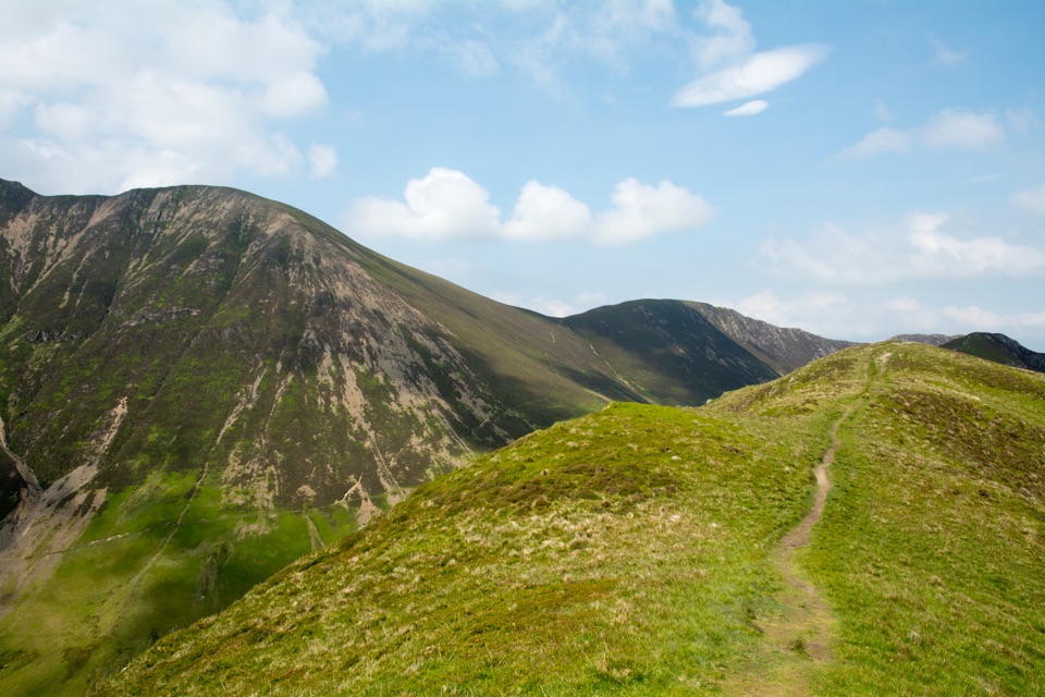
Lanes and fields lead out of the village, over footbridges near Buttermere Dubs and Sourmilk Gill, then into Burtness Wood where a steep pitched path zigzags up beside the gill. Above the trees the ground opens out, crosses two small streams and some rough bog, and arrives at Bleaberry Tarn in its bowl. From there it is loose red scree to Red Pike, back down to the col, then a short grassy pull to Dodd before retracing the whole line to the village.

Difficulty and footingThis is an energetic hard fell walk.

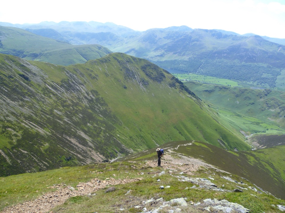
This is an energetic hard fell walk. Expect pitched stone and rock steps, uneven open fell, boggy patches, small stream crossings, and scree on Red Pike that shifts underfoot like marbles. There is occasional hands-on rock, and steep ground with crags nearby, so keep to the path where it is clear. In the wet the descent through the pitched sections and the scree is genuinely slippery, and poles help.

Views and geologyButtermere and Crummock Water sit below almost the whole way up, with the western fells,…

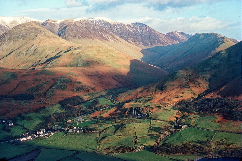
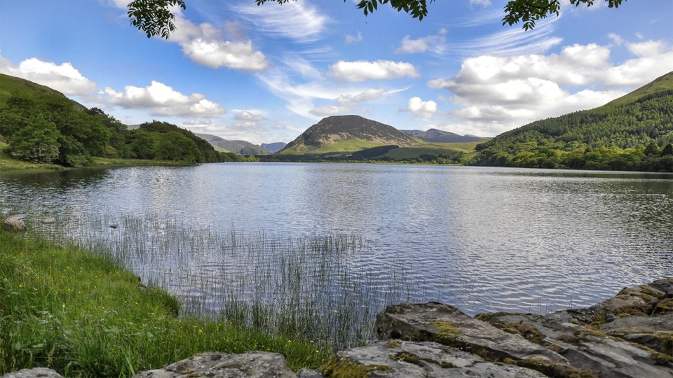
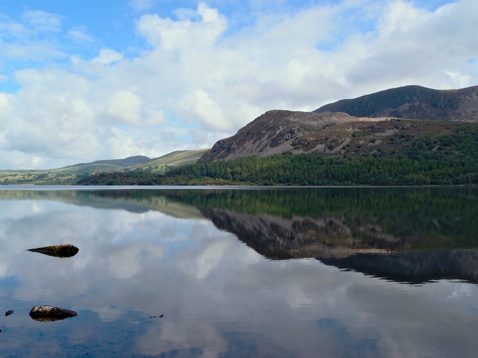
Buttermere and Crummock Water sit below almost the whole way up, with the western fells, Ennerdale, the Solway coast and southern Scotland visible on clear days. Dodd swings the view round toward Grasmoor, Robinson, the Newlands fells and Blencathra. Red Pike takes its name from the ruddy scree and subsoil linked to its syenite minerals, and Bleaberry Tarn is a glacial corrie tarn cupped between Red Pike and High Stile.

Dogs, parking, water and similar walksDogs are allowed but need close control around livestock and on the steep, craggy sections.

Dogs are allowed but need close control around livestock and on the steep, craggy sections. There is water at the tarn and nothing dependable above it, so fill up before the final climbs and carry enough for the whole round. Park in the signed village car parks on the outskirts or behind the Bridge Hotel, and arrive early on busy days. If the ascent sounds like too much, the Buttermere Circular stays low, with woodland, lake shore and a short rock tunnel, and it pairs well with this route on a two-day visit.
Wildlife

Wildlife in Lake District

All Lake District wildlife maps

Sighting maps show where each species has been reported across Lake District. Wildlife moves, so no sighting is guaranteed.

Keep exploring

Near Bleaberry Tarn, Red Pike and Dodd

See it all on the map

Trails that start nearby

Places near the trailhead

Parkwolf’s Lake District ranking

Top-rated trails in Lake District

All 265 trails
  1. 1Scafell Pike via Hollow Stones from WasdaleChallenging · 9 km
  2. 2Helvellyn via Striding Edge and Swirral EdgeChallenging · 12.4 km
  3. 3CatbellsModerate · 6.6 km
  4. 4The Old Man of ConistonChallenging · 9 km
  5. 5Buttermere CircularEasy · 7.6 km
  6. 6The Fairfield HorseshoeChallenging · 17.2 km

Take Parkwolf to Lake District.

The audio tour guide for the drive, plus offline maps, trails, and wildlife heatmaps for when the signal drops.

4.7 from 8,600+ ratings

Download Parkwolf on the App StoreGet Parkwolf on Google Play