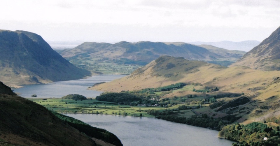
Rannerdale Knotts in Lake District National Park

Lake District National Park, EN

Rannerdale Knotts

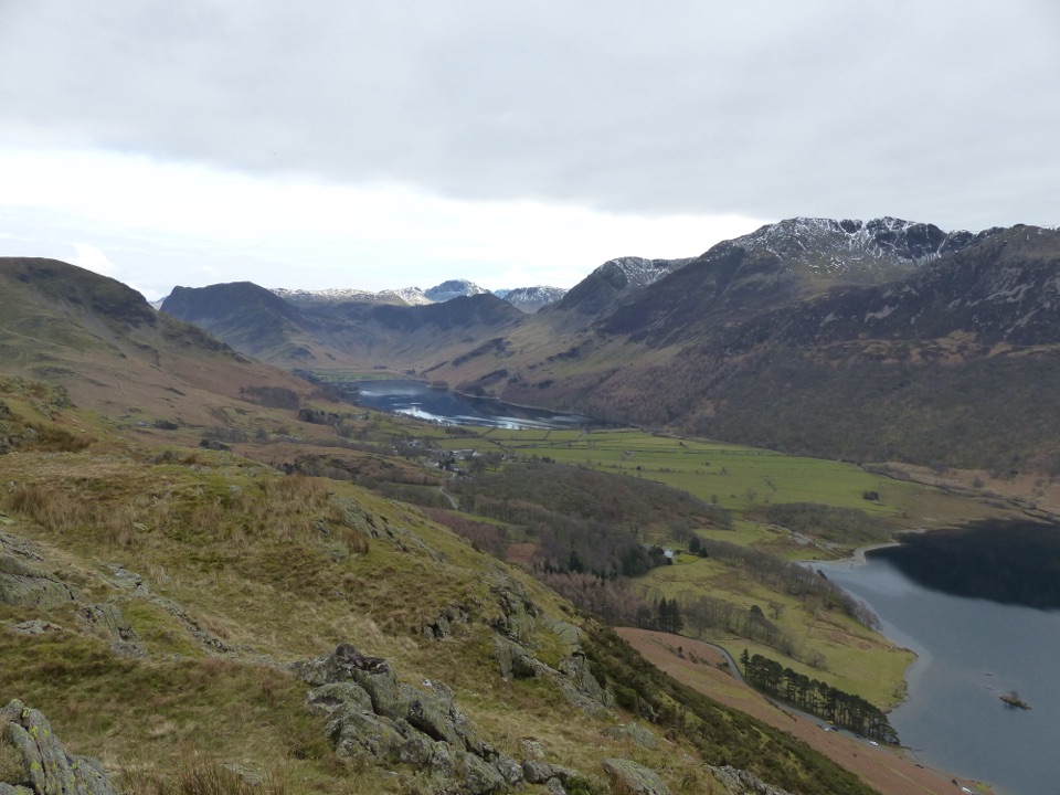
A short steep climb to a rocky ridge above Crummock Water

Photo: Public Domain
Length
5.1km
Time
2.5hr
Elev. change
233m
Difficulty
Moderate
  • Loop
  • Dogs allowed
  • High point 331 m
  • #48 of 265 in Lake District

Hear the audio tour

Buttermere: Lakeshore and Village

Overview

About Rannerdale Knotts

Why go

  • Huge views for a short loop
  • Bluebells in Rannerdale in spring

Heads up

  • Steep, rough descent
  • Small parking supply

Map & elevation

The route

Loading the Lake District map
Full map
Elevation98–331 m
TrailheadButtermere village bridge54.54158, -3.27684
Keep this map with you offline in the Parkwolf app

Plan your hike

Before you go

Parking

The primary access is the footpath gate beside the bridge opposite the Bridge Hotel in Buttermere village. The national park car park is behind the hotel, and a National Trust car park is on the village outskirts. Parking is compact and can fill early.


Safety

The route has steep grassy and rocky sections, a rocky staircase and a steep stone-pitched descent. Expect rough ground and wet patches, and keep dogs under close control around livestock, gates, stiles and the bluebell area.

8 active Lake District alerts

  • ClosureChapel Stile footpath closed for retaining-wall riskPart of Footpath 543030 between Chapel Stile and Baysbrown campsite is closed because a retaining wall beside the path could collapse and material it supports could fall across the footpath.Official details
  • ClosureStanley Ghyll Lower Falls footpath closed for rockfallThe section of Footpath 408037 leading towards Stanley Ghyll Lower Falls is closed because severe rockfall damage has made the path unstable and further rockfall remains a danger.Official details
See all 8 alerts
A park ranger sits on a dash-mounted phone, talking, as Parkwolf’s Tour Guide plays “Army Cutworm Moths: A Grizzly Bear Buffet” on Grand Loop Road below Dunraven Pass in Yellowstone
Parkwolf Tour GuideThe highest, rockiest slopes around here are a summer buffet for grizzly bears.

Lake District Tour Guide

Your drive to Rannerdale Knotts, narrated.

Parkwolf is a GPS audio tour guide for Lake District National Park. As you drive, it chimes in with what’s ahead: hidden gems, upcoming stops, history, geology, and wildlife, right through your car’s speakers.

Recorded for this trailhead

Buttermere: Lakeshore and Village
0:00 / 1:10
“You're nearing Buttermere village, where a low-level lakeshore walk puts you right beneath the high fells.”

Plays as you drive up to this trailhead in the Parkwolf Lake District Tour Guide.

More stories near here in the app

  • Crummock Water: Cinders and Grasmoor
  • Newlands Hause: Knott Rigg and Ard Crags
  • Gatesgarth: Haystacks and the Mountain Tarns
  • Loweswater: Mellbreak and Scale Force
  • 298 audio storiesacross Lake District’s roads, triggered by GPS as you drive
  • Wildlife heatmapsfor Red Deer, Eurasian Otter, Osprey, and 13 more
  • Works offlinemaps, 265 trails, 89 places, and audio download before you lose signal
  • CarPlay readysimple controls built for the drive
★★★★★
“Fantastic app with many points of information… It’s great to just turn on while you’re driving and it gives you an audio tour of the national Park. We love it!!!!”
JMJamesApp Store review
Download Parkwolf on the App StoreGet Parkwolf on Google Play

4.7 from 8,600+ ratings

Trail guide

Hiking Rannerdale Knotts

The routeA loop of 3.2 miles (5.

A loop of 3.2 miles (5.1 km), measured as the complete circuit from the footpath gate by the bridge in Buttermere village and back to the same point. Allow about 2.5 hours with stops, with roughly 283 m of ascent.

How it unfoldsYou start through Ghyll Wood alongside Mill Beck, then swing onto a steep grass and bracken…

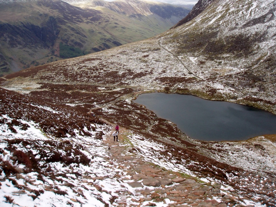
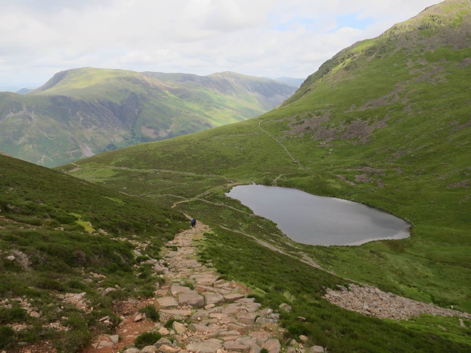
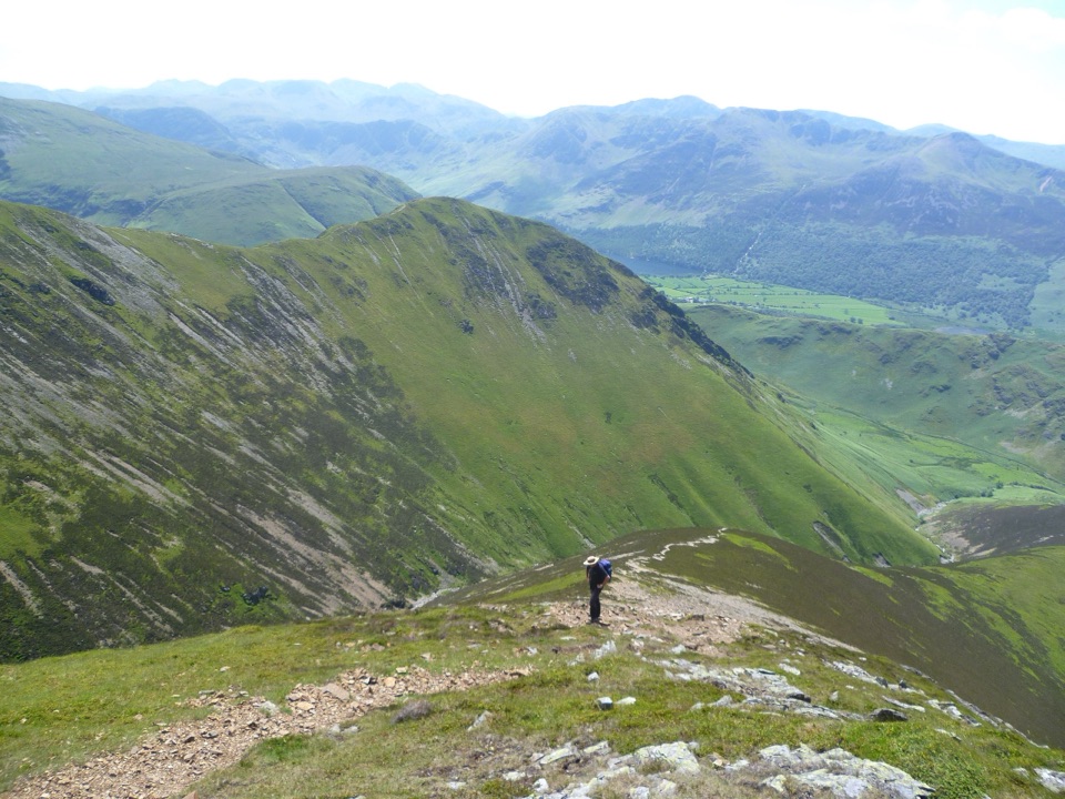
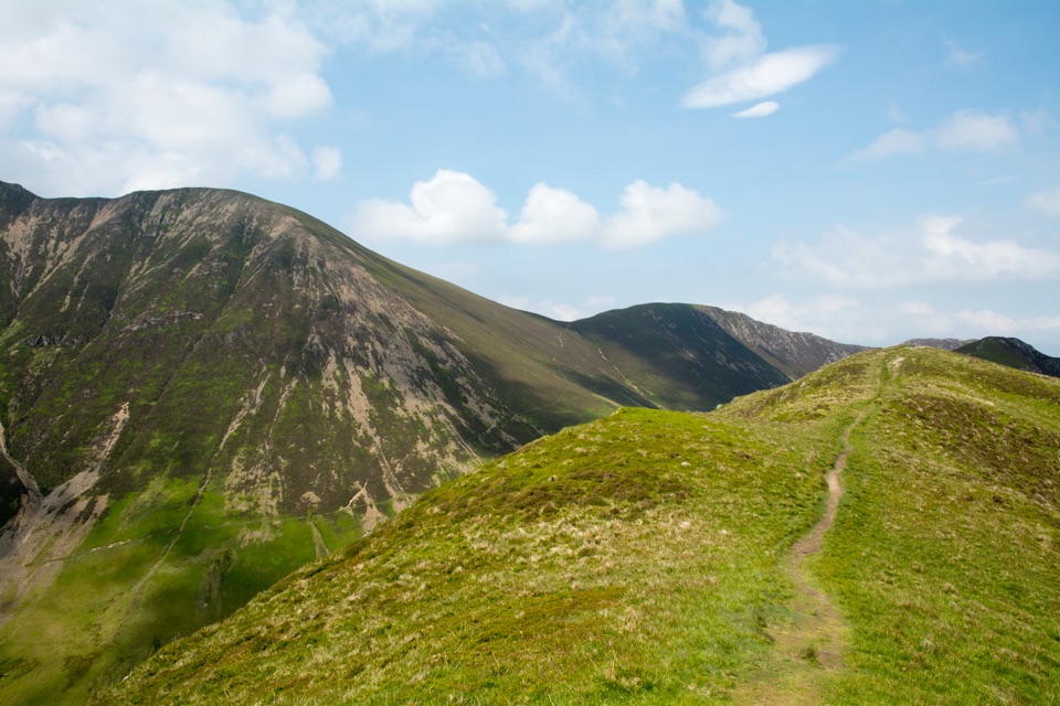
You start through Ghyll Wood alongside Mill Beck, then swing onto a steep grass and bracken flank that gains height fast. The reward comes quickly: a knobbly, undulating ridge of about a kilometre that feels like a proper mountain crest despite the modest height, leading to the summit. The descent drops on rough stone pitching to Rannerdale Hause, then the walking eases along the head and shore of Crummock Water before the return to the village.

Difficulty and footingModerate overall, but the effort is front-loaded and honest.

Moderate overall, but the effort is front-loaded and honest. Expect grassy paths, a rocky staircase section, loose stony ground and steep pitched stone on the way down, which is the part most people find hardest on the knees. In wind or wet weather it deserves respect, so boots with grip and a bit of care on the descent make a real difference.

The viewsFrom the ridge you look down on Crummock Water on one side and Buttermere on the other, with…

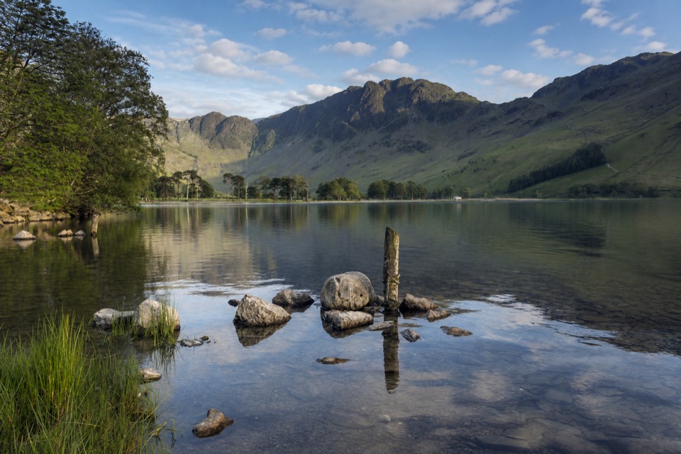
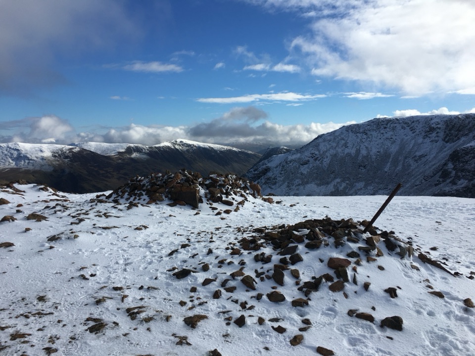
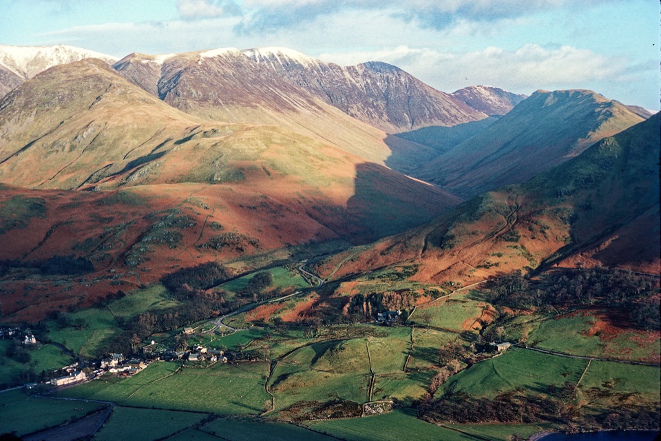
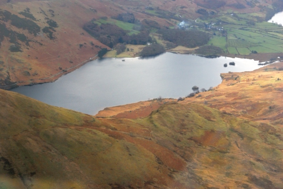
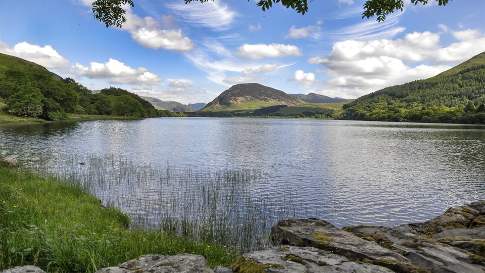
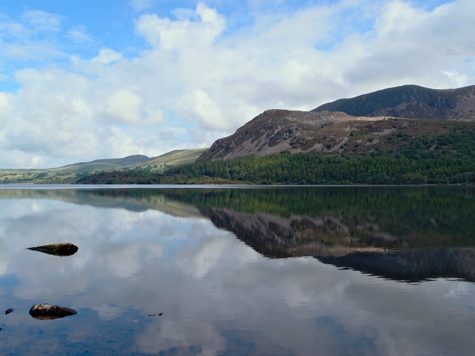
From the ridge you look down on Crummock Water on one side and Buttermere on the other, with the surrounding fells rising all around. For the amount of climbing involved, the outlook is unusually generous, and the lakeshore return gives you water-level views to finish.

Parking and accessThe primary access is the footpath gate beside the bridge opposite the Bridge Hotel.

The primary access is the footpath gate beside the bridge opposite the Bridge Hotel. There is a national park car park behind the hotel and a National Trust car park on the village outskirts. Parking in Buttermere is compact and fills early, so an early start or a later afternoon round is sensible.

DogsDogs are welcome on the route but should be on leads or under close control, particularly…

Dogs are welcome on the route but should be on leads or under close control, particularly around livestock, gates, stiles and the bluebell ground.

BluebellsRannerdale is known for its bluebell display, typically at its best from early to mid May,…

Rannerdale is known for its bluebell display, typically at its best from early to mid May, though timing shifts with the season. Parts of the area have been roped off in past springs to stop trampling, so stay on the paths and keep off the flowers.

The main drawbackIt is a busy, popular little fell with limited parking, and the steep stone-pitched descent is…

It is a busy, popular little fell with limited parking, and the steep stone-pitched descent is unpleasant if your legs or knees are tired.

Wildlife

Wildlife in Lake District

All Lake District wildlife maps

Sighting maps show where each species has been reported across Lake District. Wildlife moves, so no sighting is guaranteed.

Keep exploring

Near Rannerdale Knotts

See it all on the map

Trails that start nearby

Places near the trailhead

Parkwolf’s Lake District ranking

Top-rated trails in Lake District

All 265 trails
  1. 1Scafell Pike via Hollow Stones from WasdaleChallenging · 9 km
  2. 2Helvellyn via Striding Edge and Swirral EdgeChallenging · 12.4 km
  3. 3CatbellsModerate · 6.6 km
  4. 4The Old Man of ConistonChallenging · 9 km
  5. 5Buttermere CircularEasy · 7.6 km
  6. 6The Fairfield HorseshoeChallenging · 17.2 km

Take Parkwolf to Lake District.

The audio tour guide for the drive, plus offline maps, trails, and wildlife heatmaps for when the signal drops.

4.7 from 8,600+ ratings

Download Parkwolf on the App StoreGet Parkwolf on Google Play