Parking
Use the small Cinderdale car park below Rannerdale Knotts, just off the B5289 between Lorton and Buttermere, near grid reference NY163184. Capacity is limited. Keep the road, gates, and nearby farm access clear.
Lake District National Park, EN
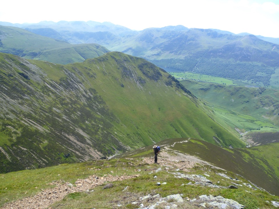
A steep ridge ascent with huge Crummock Water views
Overview
The views change constantly. Looking back from Lad Howes brings Crummock Water, Buttermere, Melbreak, Red Pike, and the High Stile ridge into view. Grasmoor gives the walk its high, open summit experience, while Crag Hill looks down Coledale and toward the old Force Crag mine. Heather, bilberry, and bracken cover much of the lower fell. In late May and June, Rannerdale is known for bluebells before the bracken becomes dominant.
 Parkwolf’s verdictThe payoff
Map & elevation
Plan your hike

The highest, rockiest slopes around here are a summer buffet for grizzly bears.
Lake District Tour Guide
Parkwolf is a GPS audio tour guide for Lake District National Park. As you drive, it chimes in with what’s ahead: hidden gems, upcoming stops, history, geology, and wildlife, right through your car’s speakers.
Recorded for this trailhead
Crummock Water: Cinders and Grasmoor“You're coming up on Crummock Water by Rannerdale, where you can choose a short lakeside history walk or a much bigger day on the fells.”
Plays as you drive up to this trailhead in the Parkwolf Lake District Tour Guide.
More stories near here in the app
“Fantastic app with many points of information… It’s great to just turn on while you’re driving and it gives you an audio tour of the national Park. We love it!!!!”


Trail guide
This is a 7.6-mile (12.2 km) circular fell walk, measured as the complete loop from the small Cinderdale car park below Rannerdale Knotts. It climbs through Rannerdale and up Lad Howes Ridge to Grasmoor, crosses to Crag Hill, then continues over Wandope, Thirdgill Head Man, and Whiteless Pike before descending through Rannerdale to the start. The stored distance is the full loop. Allow roughly 4.5 to 5.5 hours, with five hours a realistic sightseeing pace.
The opening section uses a track, footbridge, and grass paths before the route steepens sharply onto the ridge. Lad Howes is the character of the ascent: initially narrow and heathery, then increasingly rocky, with a short section of loose scree. The broad Grasmoor plateau feels easier underfoot but can be surprisingly pathless. From the summit, the route retraces across the plateau to the col and Crag Hill, skirts the steep ground around Scar Crag and Addacombe Hole to Wandope, then follows the clear line over Whiteless Edge and Whiteless Pike. The descent into Rannerdale is gentler in angle but still rough and uneven.
The route starts from public access by Cinderdale and normally needs no special hiking permit. Dogs may accompany visitors, but this is a poor route for an inexperienced dog: the ridge is steep and loose, and several sections pass close to serious drops. Keep dogs under close control around grazing livestock, gates, and the upper fells. If you want the same setting with a much smaller commitment, nearby Rannerdale Knotts is the more manageable alternative.
Wildlife
 81 sightingsRed DeerMost seen around 7 PMSighting map
 13 sightingsEurasian OtterMost seen around 6 AMSighting map
 76 sightingsOspreyMost seen around 8 AMSighting map
 51 sightingsEuropean BadgerMost seen around 8 PMSighting map
 233 sightingsMute SwanMost seen around 6 PMSighting map
 176 sightingsGrey HeronMost seen around 7 AMSighting map
Sighting maps show where each species has been reported across Lake District. Wildlife moves, so no sighting is guaranteed.
Keep exploring
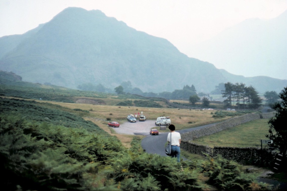 EasyThe Valley of Cinders Walk2.4 km · 1 hr · 0.9 km awayA short loop of lake views, steep grass and medieval ironworks
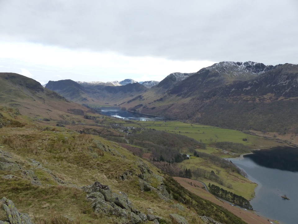 ModerateButtermere to Rannerdale Walk4.8 km · 2 hr · 1.5 km awayShort steep climb to a ridge above Buttermere and Crummock Water
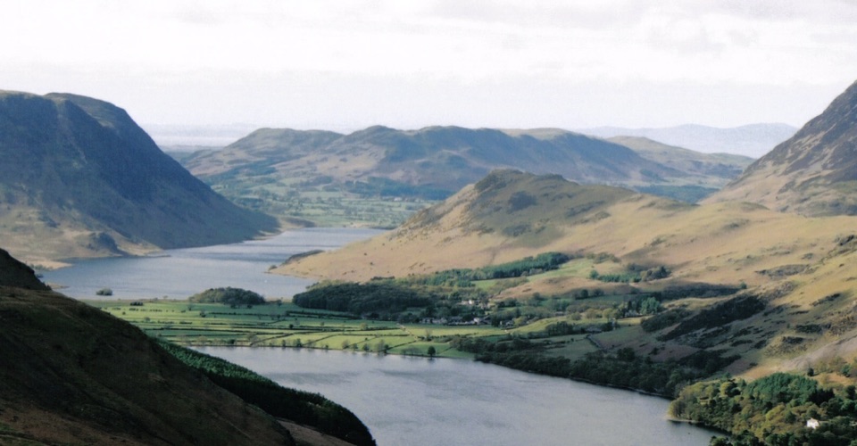 ModerateRannerdale Knotts5.1 km · 2.5 hr · 1.8 km awayA short steep climb to a rocky ridge above Crummock Water
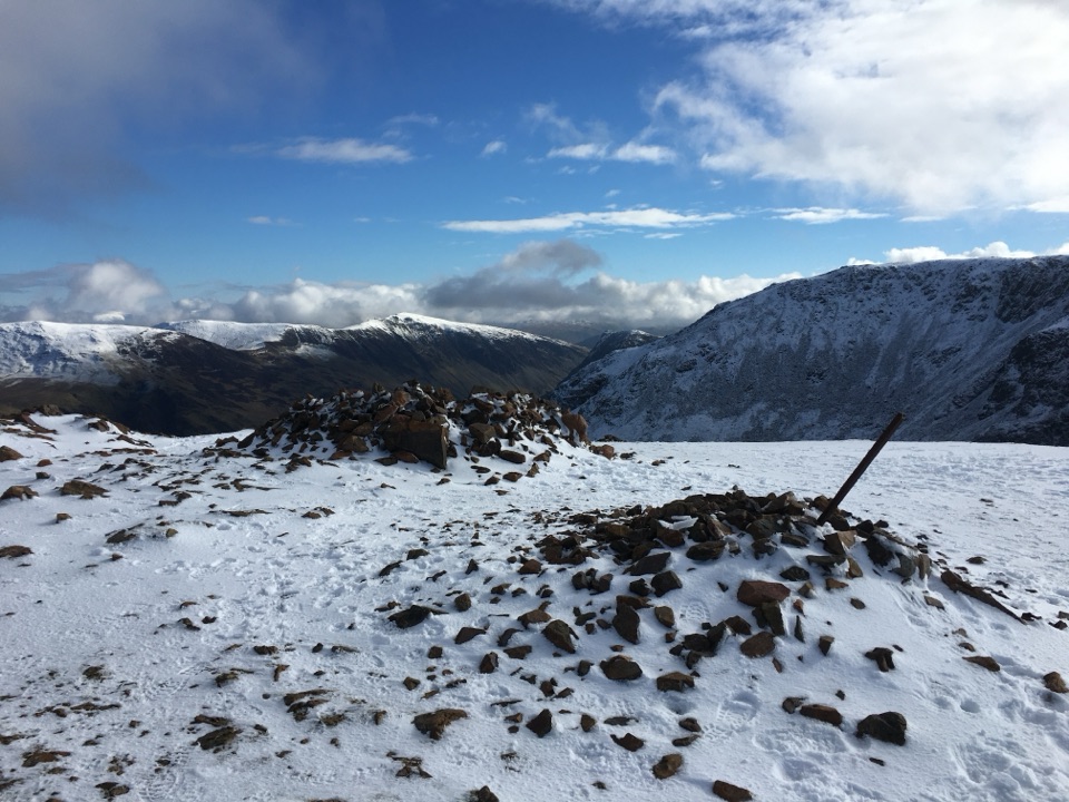 ChallengingThe Buttermere Edge13.5 km · 5.5 hr · 1.9 km awayStone-pitched climb to a rocky ridge above Ennerdale and Crummock Water
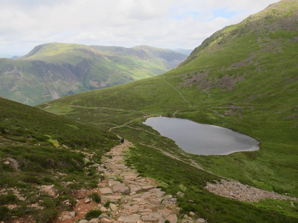 ModerateBleaberry Tarn above Buttermere5 km · 2 hr · 1.9 km awayA steep stone staircase to a quiet tarn beneath mountain crags
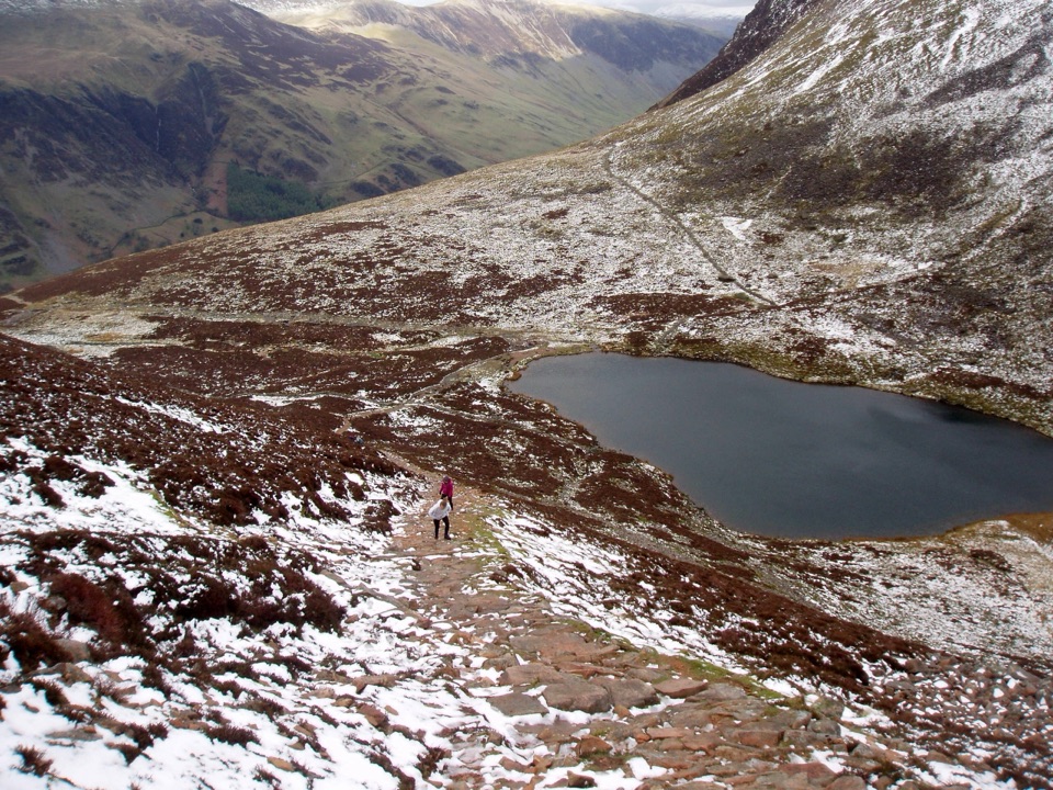 ChallengingBleaberry Tarn, Red Pike and Dodd7.2 km · 4 hr · 1.9 km awayCorrie tarn, loose red scree, two summits above Buttermere
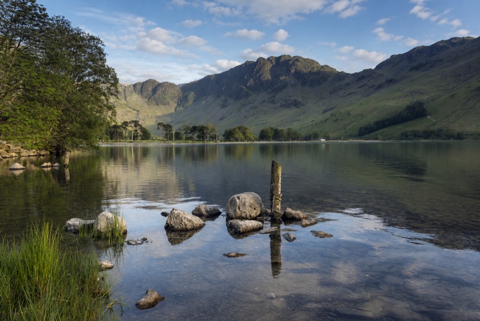 ModerateButtermere Lakeshore3.7 km · 1.5 hr · 1.9 km awayLakeshore views, woodland, rough ground, and a practical bus return
 EasyButtermere Circular7.6 km · 3 hr · 1.9 km awayLevel shore loop under high fells, through woodland and a rock tunnel
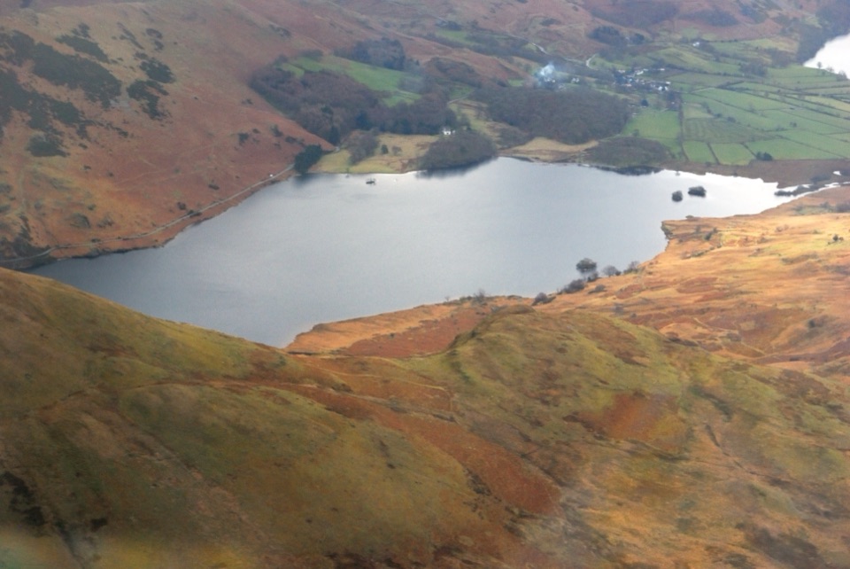 Sight · 0.7 km awayCrummock WaterA clear lake beneath an amphitheater of rugged western fells
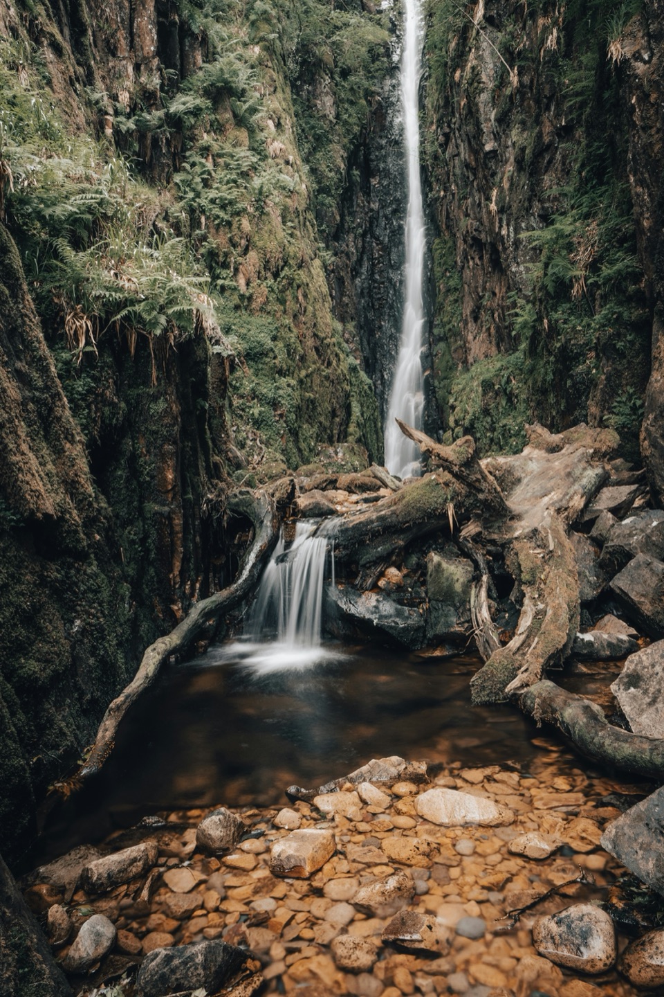 Sight · 1.8 km awayScale ForceThe Lakes' tallest single drop thunders through a mossy gorge
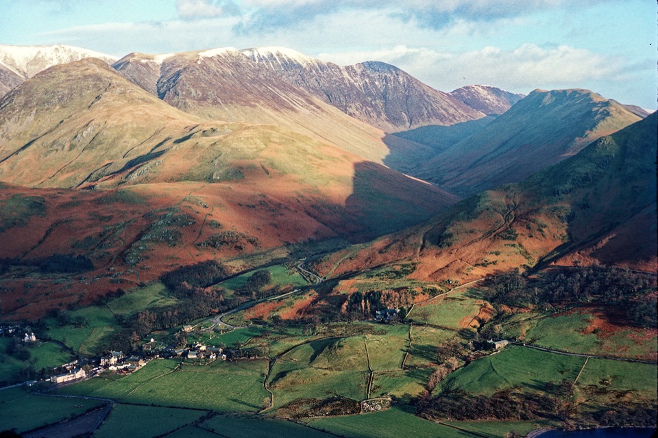 Sight · 1.9 km awayButtermere VillageA tiny hamlet framed by lakes, farms, and dramatic western fells
 Sight · 3.3 km awayButtermereA calm mountain lake ringed by high fells and an easy circuit
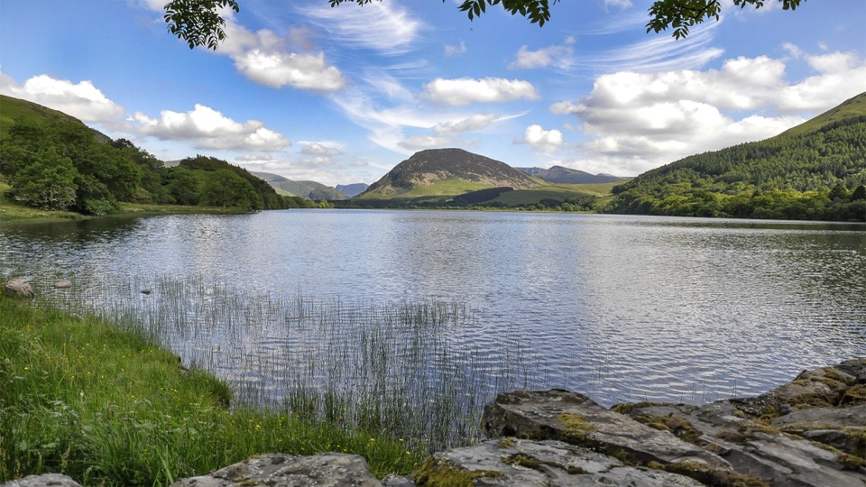 Sight · 5.1 km awayLoweswaterQuiet woodland, water and fell views on an unusually gentle lake walk
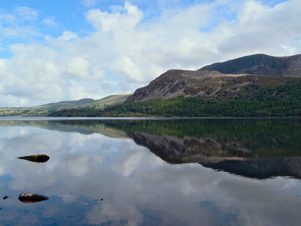 Sight · 6.5 km awayEnnerdale WaterA road-free lake beneath the wild western fells
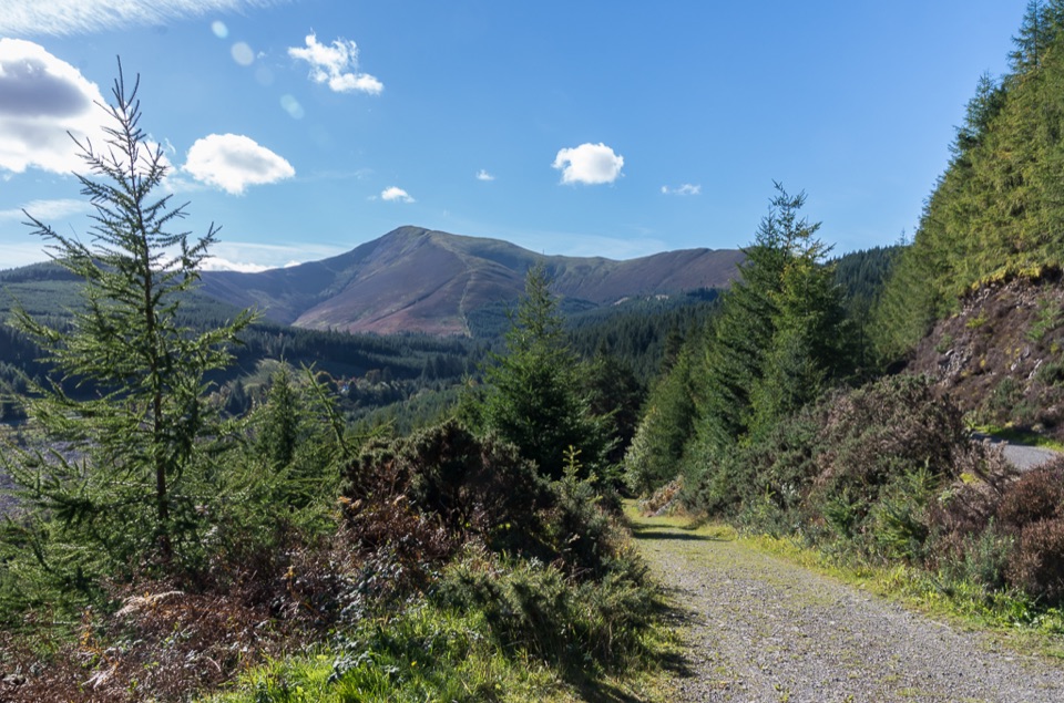 Sight · 7.6 km awayWhinlatter ForestMountain trails, big fell views, and family paths in a working forest
 Sight · 7.8 km awayHonister Slate MineExplore England's last working slate mine beneath a mountain pass
Parkwolf’s Lake District ranking
The audio tour guide for the drive, plus offline maps, trails, and wildlife heatmaps for when the signal drops.




